Almannaskarð - suður, Road 1 (Hringvegur), road surface, looking south webcam — Iceland
Working, checked 20 h ago Still image · every 10 min Pass and road weather · Official source · What camera types mean

What you are looking at
This live webcam looks at road and weather conditions on Almannaskarð - suður, Road 1 (Hringvegur), road surface, looking south. Vegagerðin (Icelandic Road and Coastal Administration) operates it, an official source. It is a still image, not video: a new photo arrives about every 10 minutes straight from Vegagerðin. The camera points south. Vegagerðin's own caption: "Almannaskarð niður á veg til suðurs." Drivers use it to see traffic, weather and the road surface before a trip.
Camera details
- Camera ID
- almannaskard_3
- Operator
- Vegagerðin
- Station ID
- 7076
- Station
- Almannaskarð - suður
- Road number
- 1
- Road name
- Hringvegur
- Looking
- Road surface south
- View (local description)
- Almannaskarð niður á veg til suðurs
- Image updates
- Every 10 min
- Video format
- Still image (JPEG)
- Position
- Exact (from the provider)
- Licence
- Creative Commons Attribution 4.0 (CC BY 4.0)
- Data source
- Vegagerðin road webcams (Iceland)
- Last checked
- Oct 7, 07:15 UTC (20 h ago)
- Working, last 7 days
- 100 % of checks
From the provider's own camera list and our automatic checks. Readings and details can change without notice.
On the map
Nearby live views
 WorkingStill imageAlmannaskarð - suður, Road 1 (Hringvegur), looking south
 WorkingStill imageAlmannaskarð - norður, Road 1 (Hringvegur), looking north
 WorkingStill imageAlmannaskarð - norður, Road 1 (Hringvegur), road surface, looking north
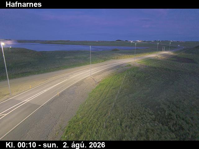 WorkingStill imageHafnarnes, Road 1 (Hringvegur), view 1
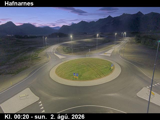 WorkingStill imageHafnarnes, Road 1 (Hringvegur), view 2
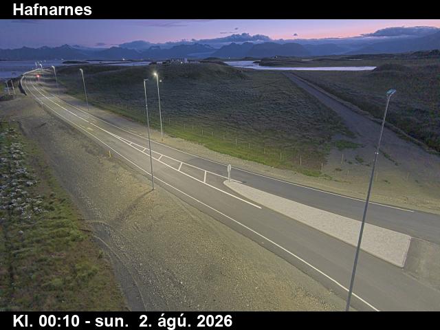 WorkingStill imageHafnarnes, Road 1 (Hringvegur), view 3
The nearest other cameras are Almannaskarð - suður, Road 1 (Hringvegur), looking south (0.0 km), Almannaskarð - norður, Road 1 (Hringvegur), looking north (1.2 km) and Almannaskarð - norður, Road 1 (Hringvegur), road surface, looking north (1.2 km).
Questions about Almannaskarð - suður, Road 1 (Hringvegur), road surface, looking south
Can I watch Almannaskarð - suður, Road 1 (Hringvegur), road surface, looking south live right now?
Yes, it is working: at our last automatic check (Oct 7, 07:15 UTC) it was sending new pictures. It is a still image, not video: a new photo arrives about every 10 minutes straight from Vegagerðin.
Who operates the Almannaskarð - suður, Road 1 (Hringvegur), road surface, looking south camera?
Vegagerðin (Icelandic Road and Coastal Administration) runs this camera. It is an official source. Its images are shared under Creative Commons Attribution 4.0 (CC BY 4.0). LiveLocation shows them straight from the source with credit. About Vegagerðin Watch at the source
Where is the Almannaskarð - suður, Road 1 (Hringvegur), road surface, looking south camera?
It is in Iceland. It watches Road 1. Coordinates: 64.283, -15.040.
What is the local time at the camera?
The camera is in the Atlantic/Reykjavik time zone. The "Right now" panel above shows the local time live. On October 8 the sun rises at 7:30 AM and sets at 6:05 PM there.
Can I see other cameras nearby?
Yes: 12 other cameras are within 25 km of this one. The live camera radar shows them all on a map, nearest first. Open the radar here
Does this camera record speeding or issue tickets?
No. It is a traffic-monitoring camera that Vegagerðin (Icelandic Road and Coastal Administration) uses to watch traffic, weather and road conditions; LiveLocation does not show enforcement cameras. To report a problem on the road, contact Vegagerðin (Icelandic Road and Coastal Administration); if the camera itself is broken here, tell us. Road agency website Report this camera
What do the sensors at Almannaskarð - suður, Road 1 (Hringvegur), road surface, looking south show?
The latest readings from the provider: Air: 3.3 °C / 37.9 °F; Wind: 8 km/h / 5 mph from the N; Humidity: 94 %. They update with the provider's data, so they can be a few minutes old.