Kitakata live webcam – Bandaisan volcano camera, Kengamine
Working, checked 3 h ago Still image · every 2 min Volcano · Official source · What camera types mean
What you are looking at
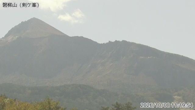
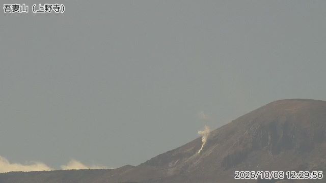
Looking south from Kengamine on the Ura-Bandai side, about six and a half kilometers north of the summit, this JMA camera faces the open, horseshoe-shaped crater that dominates Bandaisan's northern flank. It is one of the most striking volcanic scars in Japan, and on clear days the bare crater walls stand out above the forest.
That crater was made in 1888, when a steam-driven eruption caused the north side of the mountain to collapse. The debris avalanche buried villages and killed hundreds of people, and it dammed rivers to create the lakes of Ura-Bandai, including Hibara, Onogawa and the colorful ponds of Goshikinuma. Today the area is a quiet, popular hiking and lake district, with Lake Inawashiro on the far, southern side of the mountain. Expect snow on the peak in winter and fresh green slopes in early summer.
Bandaisan is one of the volcanoes JMA rates on its Volcanic Alert Level, which runs from 1 to 5; the first steps limit access near the crater, the higher ones concern residents below. For the latest status, check JMA's current alert level.
Camera details
- Camera ID
- 21501
- Operator
- Japan Meteorological Agency (気象庁)
- Volcano
- Bandaisan
- Observatory
- Japan Meteorological Agency
- Camera site
- Kengamine
- Site (local name)
- 磐梯山 剣ケ峯
- Image updates
- Every 2 min
- Video format
- Still image (JPEG)
- Position
- Exact (from the provider)
- Licence
- Public Data License (Japan) 1.0
- Data source
- JMA volcano monitoring cameras (Japan)
- Last checked
- Oct 7, 23:45 UTC (3 h ago)
- Working, last 7 days
- 100 % of checks
From the provider's own camera list and our automatic checks. Readings and details can change without notice.
About Kitakata
Weather now in Kitakata: 16 °C (61 °F), partly cloudy, wind 12 km/h (8 mph) from the northwest. Forecast for 12 PM local time. Weather: MET Norway (CC BY 4.0)
Kitakata is a town in Japan with about 46,000 people. The camera is about 19 km from the center. The nearest bigger place is Aizu-Wakamatsu, 19 km away. Kitakata keeps Asia/Tokyo time (UTC+9 at the moment); the panel above shows the local time live.
On the map
Live cameras near Kitakata
 Not checked yetStill imageBandaisan volcano camera, Kushigamine
 Not checked yetStill imageAdatarayama volcano camera, Wakamiya
 Not checked yetStill imageAdatarayama volcano camera, Tetsuzan
 Not checked yetStill imageAzumayama volcano camera, Uenotera
The nearest other cameras are Bandaisan volcano camera, Kushigamine (5.6 km), Adatarayama volcano camera, Wakamiya (10.0 km) and Adatarayama volcano camera, Tetsuzan (18 km).
All Kitakata live cameras · Camera radar centered here · More from Japan Meteorological Agency
Questions about Bandaisan volcano camera, Kengamine
Is the Bandaisan volcano camera, Kengamine camera live right now?
Yes, it is working: at our last automatic check (Oct 7, 23:45 UTC) it was sending new pictures. It is a still image, not video: a new photo arrives about every 2 minutes straight from Japan Meteorological Agency (気象庁).
How often does the picture update?
About every 2 minutes, on Japan Meteorological Agency (気象庁)'s schedule. The image on this page refreshes by itself while the tab is open.
Who operates the Bandaisan volcano camera, Kengamine camera?
Japan Meteorological Agency (気象庁) runs this camera, as part of the Japan Meteorological Agency (JMA). It is an official source. Its images are shared under the Public Data License (Japan) 1.0. LiveLocation shows them straight from the source with credit. About Japan Meteorological Agency Watch at the source
Where exactly is this camera?
It is about 19 km from the center of Kitakata, Japan. Coordinates: 37.660, 140.080. All cameras in Kitakata
What time is it at the camera, and is it day or night?
Kitakata is in the Asia/Tokyo time zone. The "Right now" panel above shows the local time live. On October 8 the sun rises at 5:41 AM and sets at 5:13 PM there.
Are there more live cameras near Kitakata?
Yes: 3 other cameras are within 25 km of this one. The live camera radar shows them all on a map, nearest first. Open the radar here
Is this volcano erupting, and where is the official alert level?
The Japan Meteorological Agency sets Japan's Volcanic Alert Levels (1 to 5) and issues the official warnings, not LiveLocation. Check its latest bulletin for this volcano before any trip. Official camera page