Buoy 46077: Shelikof Strait, AK webcam — United States
Working Still image · every hour Open ocean · Official source · What camera types mean
What you are looking at
Shelikof Strait separates Kodiak Island from the Alaska Peninsula, and station 46077 sits in the middle of it, in water about 200 meters (roughly 650 feet) deep. The 3-meter discus buoy is owned and maintained by the National Data Buoy Center and is one of the few weather stations in this long, narrow channel.
The strait is known for strong winds that funnel between the mountains on either side, and conditions can change much faster here than in the open Gulf. Fishing boats from Kodiak and the peninsula villages, the pollock fleet that targets fish gathering here in late winter, and other vessels running between Cook Inlet and the Aleutians all depend on good forecasts. The buoy's wind, gust, pressure, temperature and wave readings feed straight into National Weather Service marine forecasts.
Daylight photos, generally taken about hourly, look in several directions over the water. High, snowy mountains line both shores, so land may show in some frames on clear days, but often cloud hides it. Winter brings short days, gusty winds and steep seas; summer offers long days and frequent drizzle or fog. The buoy's motion tilts the view.
Camera details
- Operator
- NOAA National Data Buoy Center
- Station ID
- 46077
- Station
- SHELIKOF STRAIT, AK
- Image size
- 2880 × 300 px (6 frames around the buoy)
- Daylight pictures only
- Yes
- Image updates
- Every hour
- Video format
- Still image (JPEG)
- Position
- Exact (from the provider)
- Licence
- U.S. public domain
- Data source
- NOAA NDBC BuoyCAMs
- Working, last 7 days
- 100 % of checks
From the provider's own camera list and our automatic checks. Readings and details can change without notice.
On the map
Nearby live views
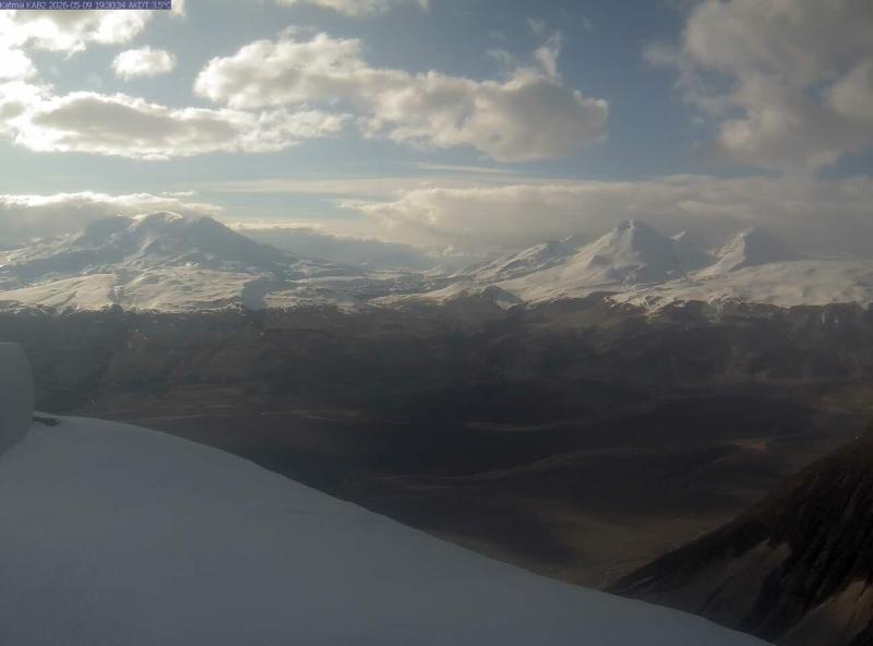
Closest to this one: Katmai (KAB2 camera) (33 mi).
Questions about Buoy 46077: Shelikof Strait, AK
Is the Buoy 46077: Shelikof Strait, AK camera live right now?
Yes, it is working: at our last automatic check it was sending new pictures. It is a still image, not video: a new photo arrives about every 1 hour straight from NOAA National Data Buoy Center.
Who runs this camera?
NOAA National Data Buoy Center runs this camera. It is an official source. Its images are in the U.S. public domain. LiveLocation shows them straight from the source with credit. About NOAA BuoyCAMs Watch at the source
Where is the Buoy 46077: Shelikof Strait, AK camera?
It is in United States. Coordinates: 57.869, -154.211.
What time is it at the camera, and is it day or night?
This camera is out at sea or far from a time zone line, so we show approximate solar time. The "Right now" panel above shows the local time and whether the sun is up, updated live.
Can I see other cameras nearby?
No other camera is within 25 miles yet. The live camera radar can search up to 250 miles around this spot. Open the radar here
Does this buoy camera work at night?
No: NOAA BuoyCAMs take pictures only in daylight, so at night the last daytime image stays up. This is NOAA station 46077; its page also has the latest wind, wave and temperature readings. Station 46077 at NOAA
What do the sensors at Buoy 46077: Shelikof Strait, AK show?
The latest readings from the provider: Waves: 0.5 m / 1.6 ft, every 6 s from the SW; Water: 9.4 °C / 48.9 °F; Air: 8.8 °C / 47.8 °F; Wind: 14 km/h / 9 mph from the SW, gusts 18 km/h / 11 mph; Air pressure: 1,017.6 hPa / 30.05 inHg. They update with the provider's data, so they can be a few minutes old.