Buoy 46084: Cape Edgecumbe - 25nm Ssw Of Cape Edgecumbe, AK webcam — United States
Working Still image · every hour Open ocean · Official source · What camera types mean
What you are looking at
Station 46084, Cape Edgecumbe, lies about 25 nautical miles south-southwest of Cape Edgecumbe in Southeast Alaska, off the outer coast near Sitka. The water below is about 1,149 meters (around 3,800 feet) deep. This 3-meter discus buoy is owned and maintained by the National Data Buoy Center.
Sitka's commercial trollers, charter boats and longliners head out past Cape Edgecumbe to fish the outer coast, and cruise ships and freighters travel these waters along the Southeast Alaska coast. The buoy gives them and National Weather Service forecasters a direct look at the open-ocean conditions, measuring wind speed, gusts and direction, air pressure, air and sea-surface temperature, and wave height and period.
Its camera takes a wide strip of photos in several directions, generally about hourly during daylight. Most frames show sea and sky; the coast of Kruzof and Baranof Islands may or may not appear on clear days. This outer coast is famously wet, so expect rain and low cloud in any season, with strong winter storms and heavy swell, and somewhat calmer summer seas. The buoy rolls, so the horizon tilts.
Camera details
- Operator
- NOAA National Data Buoy Center
- Station ID
- 46084
- Station
- CAPE EDGECUMBE - 25NM SSW of Cape Edgecumbe, AK
- Image size
- 2880 × 300 px (6 frames around the buoy)
- Daylight pictures only
- Yes
- Image updates
- Every hour
- Video format
- Still image (JPEG)
- Position
- Exact (from the provider)
- Licence
- U.S. public domain
- Data source
- NOAA NDBC BuoyCAMs
- Working, last 7 days
- 100 % of checks
From the provider's own camera list and our automatic checks. Readings and details can change without notice.
On the map
Nearby live views
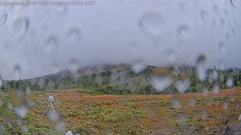
Also nearby: Edgecumbe (EDNW camera) (32 mi).
Questions about Buoy 46084: Cape Edgecumbe - 25nm Ssw Of Cape Edgecumbe, AK
Can I watch Buoy 46084: Cape Edgecumbe - 25nm Ssw Of Cape Edgecumbe, AK live right now?
Yes, it is working: at our last automatic check it was sending new pictures. It is a still image, not video: a new photo arrives about every 1 hour straight from NOAA National Data Buoy Center.
Where does this camera come from?
NOAA National Data Buoy Center runs this camera. It is an official source. Its images are in the U.S. public domain. LiveLocation shows them straight from the source with credit. About NOAA BuoyCAMs Watch at the source
Where exactly is this camera?
It is in United States. Coordinates: 56.614, -136.040.
Is it day or night there now?
This camera is out at sea or far from a time zone line, so we show approximate solar time. The "Right now" panel above shows the local time and whether the sun is up, updated live.
Are there more live cameras near here?
No other camera is within 25 miles yet. The live camera radar can search up to 250 miles around this spot. Open the radar here
Why is the buoy picture dark or old?
No: NOAA BuoyCAMs take pictures only in daylight, so at night the last daytime image stays up. This is NOAA station 46084; its page also has the latest wind, wave and temperature readings. Station 46084 at NOAA
What are the conditions at Buoy 46084: Cape Edgecumbe - 25nm Ssw Of Cape Edgecumbe, AK now?
The latest readings from the provider: Waves: 2.1 m / 6.9 ft, every 11 s from the WSW; Water: 12.3 °C / 54.1 °F; Wind: 14 km/h / 9 mph from the SE, gusts 22 km/h / 13 mph; Air pressure: 1,017.9 hPa / 30.06 inHg. They update with the provider's data, so they can be a few minutes old.