DriveBC: live cameras
BC Ministry of Transportation and Transit (DriveBC)
LiveLocation shows 1,066 cameras from BC Ministry of Transportation and Transit (DriveBC): 0 live video, 1,066 still images. 1,031 of them were live or showed a fresh image at the last check. The still images refresh about every 14 minutes.
- 1,066cameras
- 1,031working right now
- 0live video
- 2 minfastest refresh
About this source
DriveBC is the British Columbia government's official source of road information, run by the Ministry of Transportation and Transit. Its highway cameras show conditions on mountain passes, ferry approaches and main highways across the province.
The camera list is published under the Open Government Licence – British Columbia.
From the provider's own website: drivebc.ca · checked Oct 7, 2026
Where its cameras are
- 🇨🇦 Canada (1,066)
Coverage: British Columbia, Canada.
Credit, licence and how we show it
- Credit shown on every camera
- Source: DriveBC, BC Ministry of Transportation and Transit. Contains information licensed under the Open Government Licence – British Columbia
- Terms
- Read the provider's terms · we last checked them on October 7, 2026
- How we play it
- Still images load in your browser directly from the provider's server and refresh about every 14 minutes. LiveLocation never copies, records or re-hosts the video or images.
- Status
- We check these cameras automatically and show "Live now" (live video), "Working" (still images and clips that are updating) or "Offline" honestly.
Best cameras from DriveBC
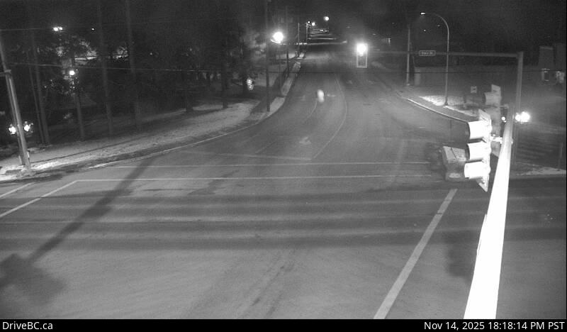 WorkingStill imageHighway 16, Hwy 16 at Toronto Street, looking west
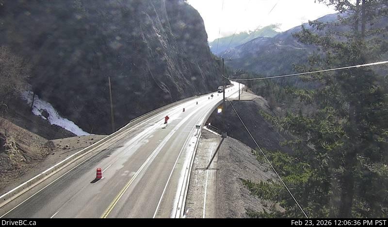 WorkingStill imageHighway 1, Jackass Mountain, looking south
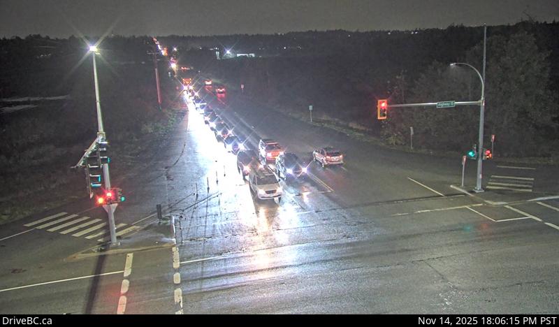 WorkingStill imageHighway 15, Hwy 15 at 88 Avenue, looking west
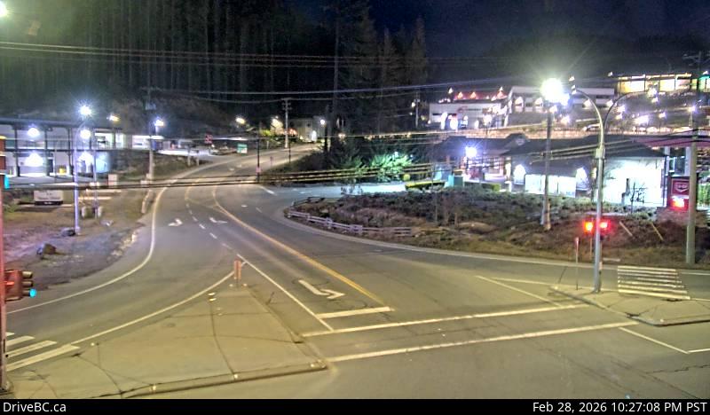 WorkingStill imageHighway 14, Hwy 14 at West Shore Parkway, looking east
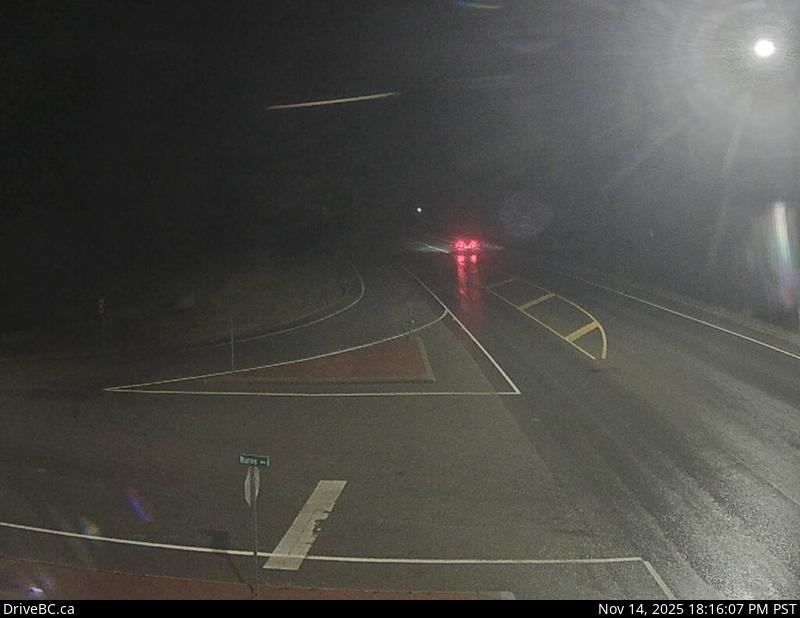 WorkingStill imageHighway 93, Canal Flats
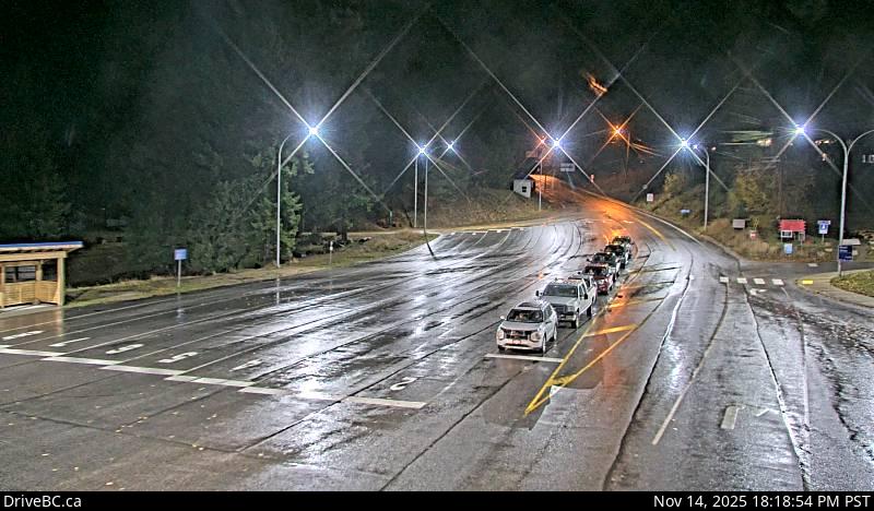 WorkingStill imageHighway 3A, Kootenay Bay Ferry Landing
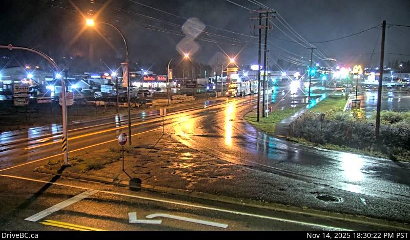 WorkingStill imageHighway 3, Creston, looking south
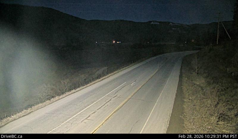 WorkingStill imageHighway 6, Lumby, looking west
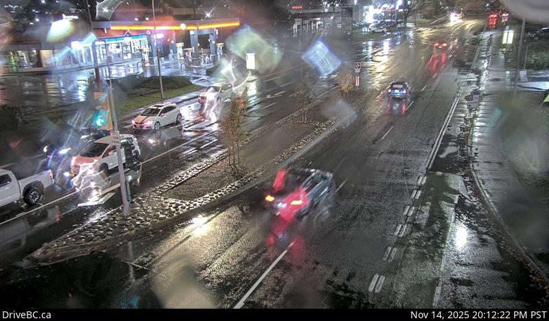 WorkingStill imageHighway 19A, Hwy 19A at Ryan Road, looking west
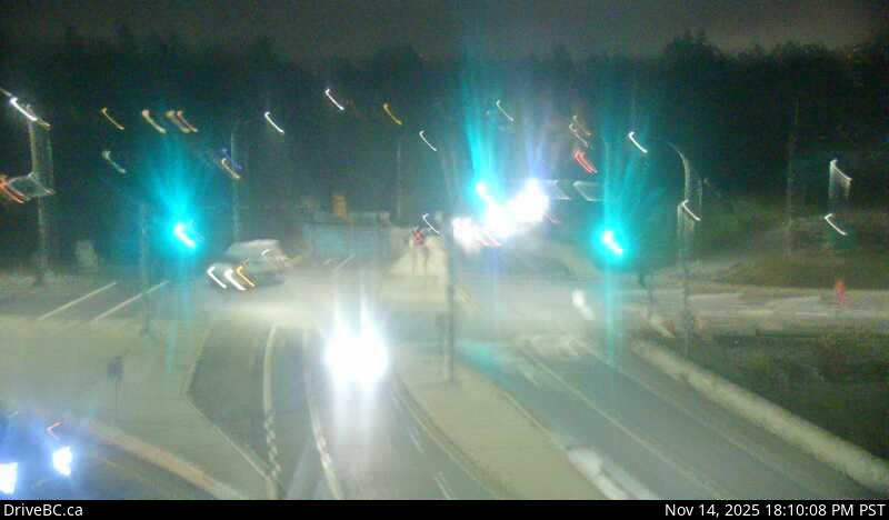 WorkingStill imageHighway 1, Admirals-McKenzie, looking south
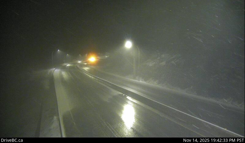 WorkingStill imageHighway 5, Coquihalla Summit, looking south
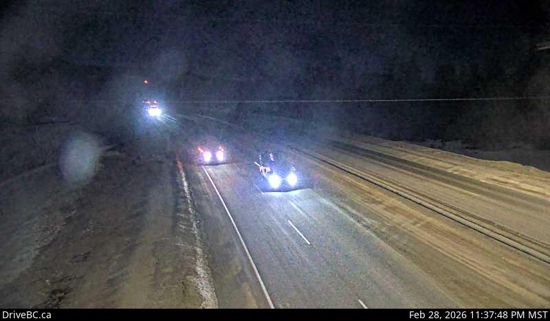 WorkingStill imageHighway 1, Donald Bridge, looking west
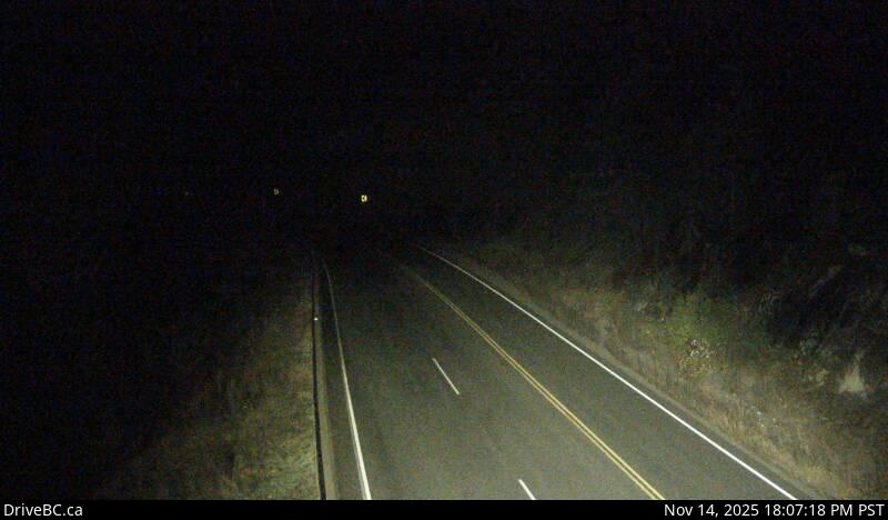 WorkingStill imageHighway 6, Shuswap Hill, looking east
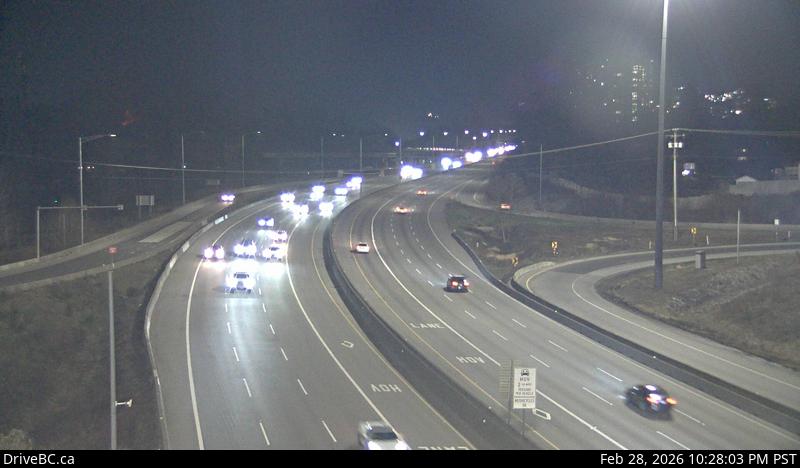 WorkingStill imageHighway 1, Brunette
 WorkingStill imageHighway 11, Abbotsford-Huntingdon Border Crossing, looking north
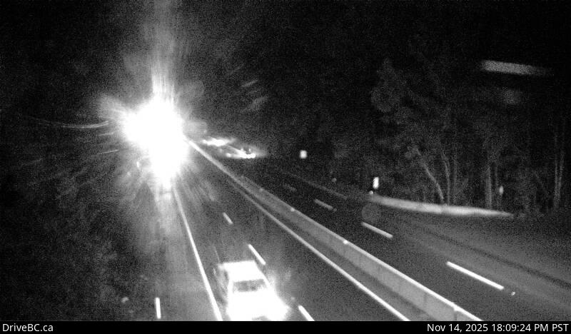 WorkingStill imageHighway 1, Bamberton, looking north
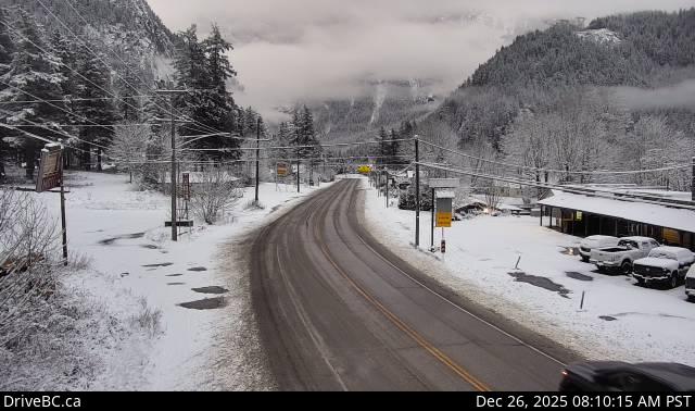 WorkingStill imageHighway 1, Yale, looking north
 WorkingStill imageHighway 1, Ironworkers midspan
 WorkingStill imageHighway 13, Aldergrove Border Crossing, looking south
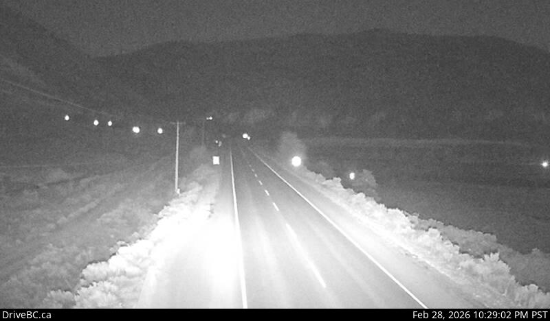 WorkingStill imageHighway 1, Spences Bridge
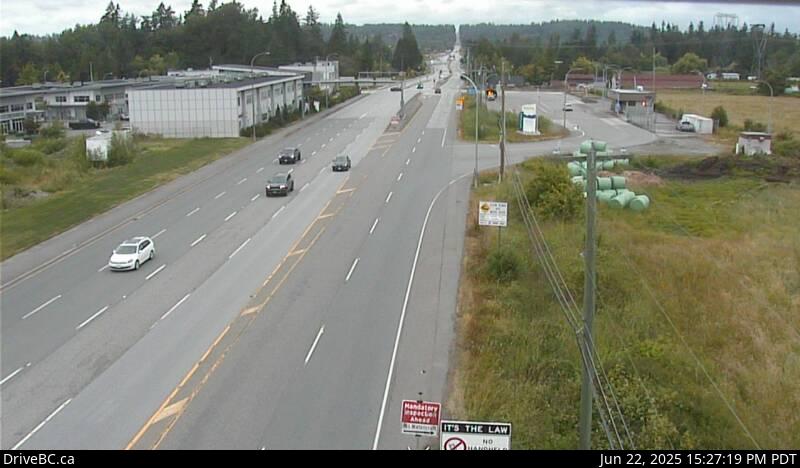 WorkingStill imageHighway 15, Second Avenue, looking north
 WorkingStill imageHighway 3, Irishman, looking south
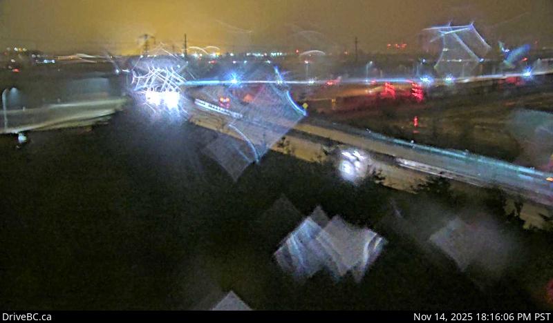 WorkingStill imageHighway 17, Deltaport Way, looking east
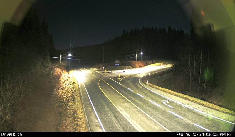 WorkingStill imageHighway 19, Hwy 19 at Port Alice Road
No live video among these cameras. Turn off "Live video only" to see them all.
Questions about DriveBC cameras
Who is behind DriveBC?
DriveBC is the British Columbia government's official source of road information, run by the Ministry of Transportation and Transit. Its highway cameras show conditions on mountain passes, ferry approaches and main highways across the province. Provider website
What area do the DriveBC cameras cover?
They cover British Columbia, Canada. Cameras in Canada
How many DriveBC cameras are working right now?
LiveLocation shows 1,066 DriveBC cameras; 1,031 were live or showing a fresh image at the last check. We check them automatically and mark broken ones "Offline" instead of hiding the problem. See them on the map
How fresh are the DriveBC pictures?
The still images refresh about every 14 minutes on average; the fastest every 2 min.
Does DriveBC have live video?
No: they send still images, which is how DriveBC publishes them.
Can I use DriveBC images, and how are they credited?
They are shared under the Open Government Licence – British Columbia. We show the credit "Source: DriveBC, BC Ministry of Transportation and Transit. Contains information licensed under the Open Government Licence – British Columbia" under every camera. LiveLocation never copies or re-hosts the images; check the provider's terms before reusing them. Provider terms
A DriveBC camera is not working. What can I do?
Press "Report this camera" on its page and we check it again; broken cameras are marked offline automatically too. For problems on the road itself, contact the BC Ministry of Transportation and Transit (DriveBC) directly. Report a camera
A camera on LiveLocation does not mean its owner endorses LiveLocation. See our sources and how we choose cameras. All sources.