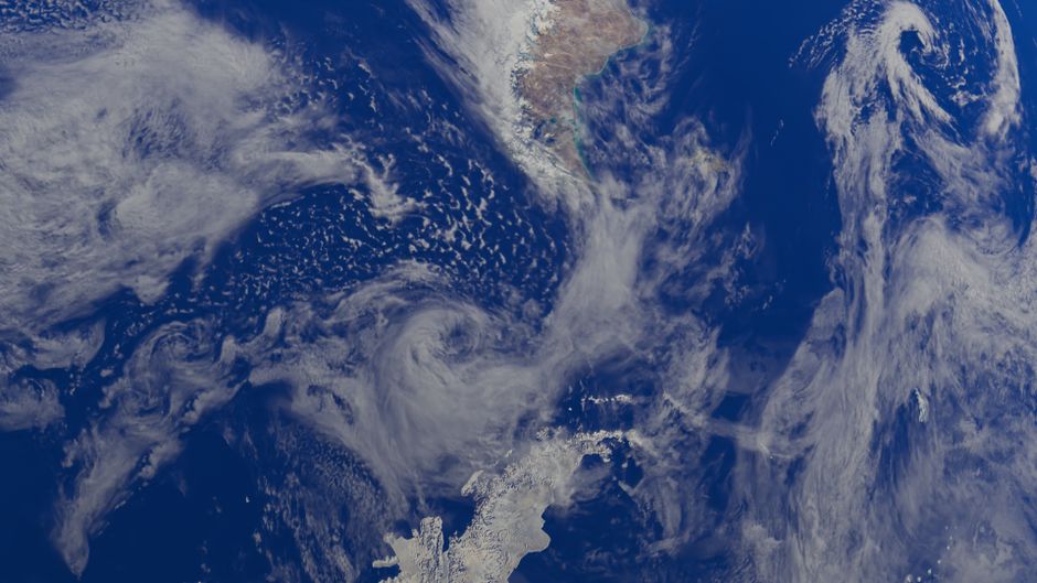
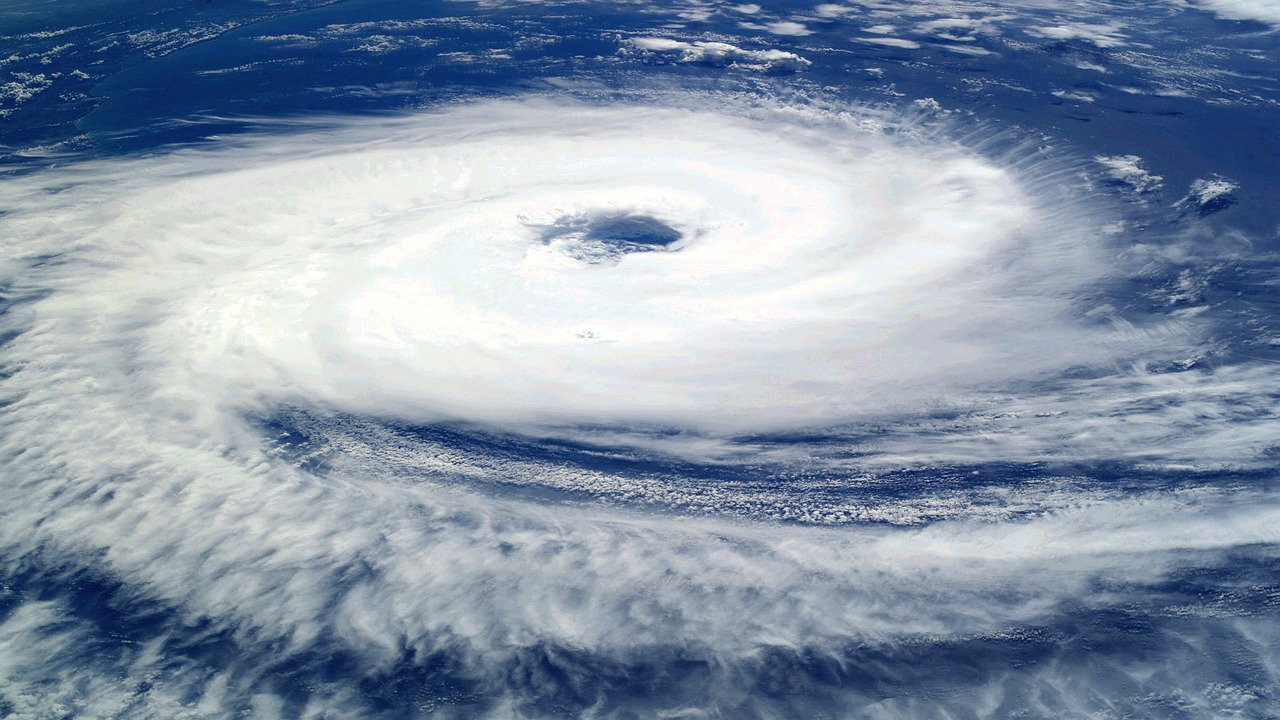
“Live satellite view” is one of the most searched phrases about Earth from space, and one of the most misunderstood. No satellite streams continuous color video of your house. What you can watch, for free, is something nearly as wonderful: real images of the whole planet’s weather, refreshed every few minutes, and sharp daily mosaics of the entire Earth from satellites that sweep from pole to pole.
This page explains the two kinds of satellite behind those views, how fresh each image really is, and how to tell “live” from “recent.” LiveLocation uses both in its Earth-now layers, so wherever you search there is always something to see, even where no camera exists.
Two kinds of orbit
Geostationary: always watching the same half of the planet
At an altitude of about 35,786 km (22,236 miles) above the equator, a satellite circles the Earth exactly once a day, in step with the planet’s rotation. From the ground it seems to hang still in the sky. That makes it perfect for weather: it can photograph the same region over and over, so forecasters can watch storms grow, move and spin.
The United States runs two: GOES-East (currently GOES-19), watching the Americas and the Atlantic, and GOES-West (currently GOES-18), watching the Pacific, the western US and Alaska. Their main camera, the Advanced Baseline Imager (ABI), has 16 spectral bands from visible light to infrared. Japan, Europe, China, Korea and India operate similar satellites over their parts of the world, so together they cover most of the globe outside the poles.
Polar-orbiting: close-up passes, twice a day
Polar satellites fly far lower, roughly 800 km up, on an orbit that crosses near both poles. As the Earth turns underneath, each pass scans a new strip. NOAA says its Joint Polar Satellite System satellites (Suomi NPP, NOAA-20 and NOAA-21) orbit pole to pole 14 times a day and give full global coverage twice daily. NASA’s older Terra and Aqua satellites with the MODIS instrument add more passes. The pictures are sharper, but any one place is seen only around twice a day by each satellite.
Geostationary vs polar at a glance
| Geostationary (e.g. GOES) | Polar-orbiting (e.g. JPSS, Terra, Aqua) | |
|---|---|---|
| Altitude | About 35,786 km | Roughly 700 to 850 km |
| What it sees | The same disk of the Earth, always | A strip below it, a new strip each orbit |
| How often | Full disk every 10 min; US every 5 min; small areas every 30 to 60 s | Each place about twice a day per satellite |
| Detail | Good for clouds and storms (km scale) | Sharper; daily true-color mosaics of the whole planet |
| Poles | Poor view of high latitudes | Excellent; passes over both poles |
| Best for | Watching weather move, storms, smoke, sunrise lines | Daily “how does Earth look,” fires, ice, floods |
| Freshness in viewers | Typically minutes old | Typically hours old (NASA: many layers within 3 hours) |
So, is it live?
Here is the honest answer for each kind of satellite view you may meet online:
- Geostationary loops (GOES and similar): as close to live as satellites get. The ABI scans the full disk every 10 minutes, the continental US every 5 minutes, and one or two small “mesoscale” boxes every 30 to 60 seconds, usually aimed at hurricanes, wildfires or severe storms. After processing and delivery, the newest frame you see is typically minutes old.
- Daily mosaics (NASA Worldview and similar): real images of the whole planet, stitched from polar passes. NASA says many Worldview layers are updated within three hours of observation. Different strips on the map were taken at different times of day, which is why you see seams between swaths.
- “Satellite view” on map apps: usually a mosaic of images that can be months or years old, taken on clear days. Beautiful, but not current.
- The ISS camera: genuine live video from the space station, when the feed is on. It can be dark, black, or switched to a recording when the station is out of contact. See is the ISS feed real?
Why satellite views look different at night
Visible-light cameras need sunlight, so a true-color satellite image of the night side would be black. Satellites also see in infrared, which measures heat. Cold, high cloud tops look bright; warm land and sea look dark. Many “always on” satellite views blend the two: visible color by day, infrared clouds over a background of city lights by night. The city lights in these blends are usually a fixed background image, not live lights. Some instruments, like the VIIRS day-night band on the JPSS satellites, can see real night lights, moonlit clouds and even fishing boat lamps on actual passes.
Infrared has one big advantage for watchers: it works around the clock. A hurricane at 3 a.m. local time is invisible in visible light but stands out clearly in infrared, with the coldest, highest cloud tops marking the strongest storms.
What satellites cannot do
It is worth being clear, because there are many myths online:
- No live video of people or cars. Weather satellites see details from hundreds of meters to a few kilometers per pixel. You cannot see houses, let alone people.
- No seeing through clouds in visible light. If it is cloudy, you see the top of the clouds.
- No “zoom and enhance.” Zooming in on a satellite image just enlarges the pixels.
- High-resolution commercial images are not live. They are taken on request or on a schedule, processed and sold later.
Freshness of common Earth-from-space views
| View | Source type | New image every | Typical age when you see it |
|---|---|---|---|
| GOES full disk | Geostationary | 10 minutes | Minutes |
| GOES continental US | Geostationary | 5 minutes | Minutes |
| GOES mesoscale (storms, fires) | Geostationary | 30 to 60 seconds | A few minutes |
| NASA Worldview true color | Polar (MODIS, VIIRS) | Each swath on each pass | Within about 3 hours for many layers |
| Map-app “satellite” layer | Commercial mosaics | Irregular | Months to years |
| ISS live camera | Video from orbit | Continuous (when on) | Seconds |
Satellite vs weather radar
People often mix up satellite and radar maps, and they answer different questions. A satellite looks down from space and shows clouds: where they are, how high, how fast they grow. Weather radar sits on the ground, sends out radio pulses and measures what bounces back from rain, snow and hail inside those clouds. A thick cloud deck may produce no rain at all; a small, bright storm on radar may be hidden under high cloud on the satellite view.
Radar is also local: each station covers a radius of a few hundred kilometers, and coverage stops at the coast and in many remote regions. Satellites cover oceans, deserts and mountains alike. Used together, they tell a much fuller story: the satellite shows the storm system arriving from the ocean, and radar shows exactly where it is raining once it reaches land. Both appear as layers on our map, next to the nearest ground cameras.
How to use satellite views well
- Watching a storm or hurricane: use a geostationary loop, ideally a mesoscale sector if one is pointed at it. Play the last few hours to see it move.
- Seeing your whole region in true color: use the daily polar mosaic for today; if the area is still black, the satellite has not passed yet.
- Wildfire smoke: visible geostationary loops show plumes moving hour by hour; daily polar images show the full extent.
- Sunrise and sunset: the day-night line sweeping across a geostationary full disk is one of the most beautiful views of our planet, in near real time.
- Combine with ground cameras: on LiveLocation, search any place and see the nearest live cameras next to the satellite and radar view for the same spot, so you get the sky from above and the street from below. Open the map or try cameras near me.
Who runs these satellites
The US satellites are operated by NOAA (the National Oceanic and Atmospheric Administration) with NASA, and their imagery is free and public. Europe’s EUMETSAT, the Japan Meteorological Agency and other national weather agencies run their own geostationary satellites. NASA’s Worldview, built on its Global Imagery Browse Services, brings many of these datasets together for anyone to explore. LiveLocation shows these images with the credits each agency asks for, and never presents them as something they are not.
For more on watching our planet from orbit, see Earth from space now.
Do these next
- Turn on the satellite layer on the map and check the time stamp.
- Explore Earth from space now, including the ISS.
- Compare with live cameras near you for the view from the ground.
Sources
- NOAA NESDIS: Advanced Baseline Imager (ABI) (checked 2026-10-07)
- NOAA STAR: GOES imagery (GOES-East = GOES-19, GOES-West = GOES-18) (checked 2026-10-07)
- NOAA NESDIS: Joint Polar Satellite System (checked 2026-10-07)
- NASA Earthdata: Data tool in focus, NASA Worldview (checked 2026-10-07)
- NASA Worldview (checked 2026-10-07)
Last reviewed October 7, 2026 by the LiveLocation team. General information, not legal or electrical advice.