Nakanoshima volcano camera, Otake summit webcam — Japan
Working, checked 2 h ago Still image · every 2 min Volcano · Official source · What camera types mean
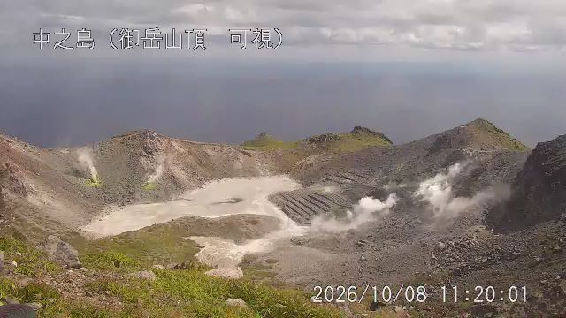
What you are looking at
Placed right on the summit of Otake, the highest point of Nakanoshima in the Tokara Islands, this JMA camera looks into the crater area at very close range. JMA lists it as a combined visible and thermal camera, installed in March 2026 so that staff can see changes in steam and heat at the vents themselves, not just from the coast.
Otake is an andesite stratovolcano, and JMA notes that fumaroles are active inside its summit crater and on its southeast flank. All of the island's recorded eruptions came from this peak. At this height, close to a thousand meters, the summit often sits inside cloud carried on moist ocean winds, so many images will be gray and misty; on clear days you may see the crater walls, the steam and the sea beyond. Late-summer and autumn typhoons sweep across the Tokara chain and can rattle the view.
Nakanoshima does not use JMA's numbered Volcanic Alert Levels. JMA instead issues eruption forecasts and warnings for it, and warns that volcanic gas can gather in hollows near the vents. Check JMA's current information before hiking toward the summit.
Camera details
- Camera ID
- 51002
- Operator
- Japan Meteorological Agency (気象庁)
- Volcano
- Nakanoshima
- Observatory
- Japan Meteorological Agency
- Camera site
- Otake summit
- Site (local name)
- 中之島 御岳山頂
- Image updates
- Every 2 min
- Video format
- Still image (JPEG)
- Position
- Exact (from the provider)
- Licence
- Public Data License (Japan) 1.0
- Data source
- JMA volcano monitoring cameras (Japan)
- Last checked
- 00:15 UTC (2 h ago)
- Working, last 7 days
- 100 % of checks
From the provider's own camera list and our automatic checks. Readings and details can change without notice.
On the map
Nearby live views
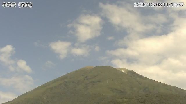 WorkingStill imageNakanoshima volcano camera, Yoriki
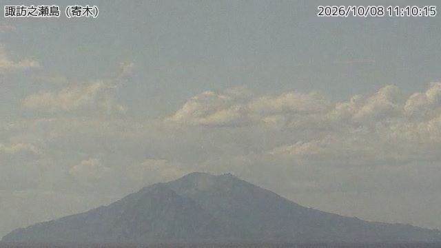 Not checked yetStill imageSuwanosejima volcano camera, Yoriki
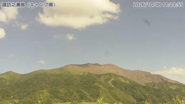 Not checked yetStill imageSuwanosejima volcano camera, campsite
The nearest other cameras are Nakanoshima volcano camera, Yoriki (2.9 km), Suwanosejima volcano camera, Yoriki (2.9 km) and Suwanosejima volcano camera, campsite (31 km).
Camera radar centered here · More from Japan Meteorological Agency
Questions about Nakanoshima volcano camera, Otake summit
Can I watch Nakanoshima volcano camera, Otake summit live right now?
Yes, it is working: at our last automatic check (Oct 8, 00:15 UTC) it was sending new pictures. It is a still image, not video: a new photo arrives about every 2 minutes straight from Japan Meteorological Agency (気象庁).
How often does the picture update?
About every 2 minutes, on Japan Meteorological Agency (気象庁)'s schedule. The image on this page refreshes by itself while the tab is open.
Who runs this camera?
Japan Meteorological Agency (気象庁) runs this camera, as part of the Japan Meteorological Agency (JMA). It is an official source. Its images are shared under the Public Data License (Japan) 1.0. LiveLocation shows them straight from the source with credit. About Japan Meteorological Agency Watch at the source
Where exactly is this camera?
It is in Japan. Coordinates: 29.859, 129.857.
Is it day or night there now?
The camera is in the Asia/Tokyo time zone. The "Right now" panel above shows the local time live. On October 8 the sun rises at 6:17 AM and sets at 5:58 PM there.
Are there more live cameras near here?
Yes: 2 other cameras are within 25 km of this one. The live camera radar shows them all on a map, nearest first. Open the radar here
Is this volcano erupting, and where is the official alert level?
The Japan Meteorological Agency sets Japan's Volcanic Alert Levels (1 to 5) and issues the official warnings, not LiveLocation. Check its latest bulletin for this volcano before any trip. Official camera page