Raoul Island volcano camera webcam — New Zealand
Working, checked 4 h ago Still image · every 10 min Volcano · Official source · What camera types mean
What you are looking at
GeoNet operates this camera on Raoul Island, the largest of the Kermadec Islands, about 1,000 kilometers northeast of New Zealand's North Island. GeoNet is New Zealand's geological hazard monitoring service, run by Earth Sciences New Zealand with the Natural Hazards Commission. Raoul is the top of a large, active volcano, and the island is a nature reserve looked after by the Department of Conservation.
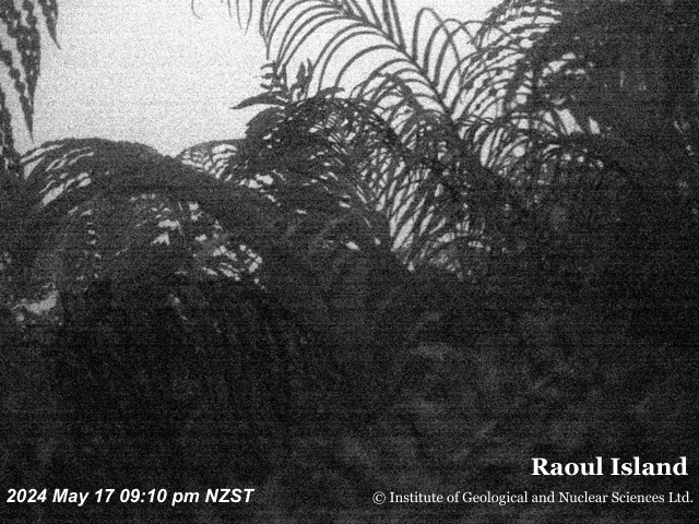
The camera looks across the island's forested crater, with a crater lake below and the high rim beyond, and the Pacific Ocean on the horizon. In March 2006 a sudden steam-driven eruption near the crater lakes killed a Department of Conservation staff member, a reminder that these eruptions can come with little warning. Most images show lush subtropical forest, passing showers and changing light over the sea. Watch the lake area for steam or any change in the color of the water.
New Zealand's Volcanic Alert Level system runs from 0 (no unrest) to 5 (major eruption); levels 1 and 2 mean unrest, 3 to 5 mean an eruption. GeoNet sets the current level for Raoul, so check it there. The camera sends a new still image about every 10 minutes, time-stamped in New Zealand time.
Camera details
- Camera ID
- raoulisland
- Operator
- GeoNet
- Image updates
- Every 10 min
- Video format
- Still image (JPEG)
- Position
- Approximate
- Licence
- Creative Commons Attribution 3.0 New Zealand
- Data source
- GeoNet volcano cameras (New Zealand)
- Last checked
- Oct 7, 22:45 UTC (4 h ago)
- Working, last 7 days
- 100 % of checks
From the provider's own camera list and our automatic checks. Readings and details can change without notice.
On the map
The position is approximate.
Nearby live views
Questions about Raoul Island volcano camera
Is the Raoul Island volcano camera camera live right now?
Yes, it is working: at our last automatic check (Oct 7, 22:45 UTC) it was sending new pictures. It is a still image, not video: a new photo arrives about every 10 minutes straight from GeoNet.
How often does this camera refresh?
About every 10 minutes, on GeoNet's schedule. The image on this page refreshes by itself while the tab is open.
Who operates the Raoul Island volcano camera camera?
GeoNet (Earth Sciences New Zealand with the Natural Hazards Commission Toka Tū Ake) runs this camera. It is an official source. Its images are shared under Creative Commons Attribution 3.0 New Zealand. LiveLocation shows them straight from the source with credit. About GeoNet Watch at the source
Where is the Raoul Island volcano camera camera?
It is in New Zealand. Approximate coordinates: -29.27, -177.92.
Is it day or night there now?
The camera is in the Pacific/Auckland time zone. The "Right now" panel above shows the local time live. On October 8 the sun rises at 6:22 AM and sets at 6:56 PM there.
Can I see other cameras nearby?
No other camera is within 25 km yet. The live camera radar can search up to 250 km around this spot. Open the radar here
Where can I check the alert level for this volcano?
GeoNet sets New Zealand's Volcanic Alert Levels (0 to 5) for this volcano, not LiveLocation. Check its latest volcanic activity bulletin before any trip. GeoNet volcano alerts Official camera page