GeoNet: live cameras
GeoNet (Earth Sciences New Zealand with the Natural Hazards Commission Toka Tū Ake)
LiveLocation shows 11 cameras from GeoNet (Earth Sciences New Zealand with the Natural Hazards Commission Toka Tū Ake): 0 live video, 11 still images. 11 of them were live or showed a fresh image at the last check. The still images refresh about every 10 minutes.
- 11cameras
- 11working right now
- 0live video
- 10 minfastest refresh
About this source
GeoNet is New Zealand's geological hazard monitoring system. It watches earthquakes, volcanoes, landslides and tsunamis, and is run by Earth Sciences New Zealand with funding from the Natural Hazards Commission Toka Tū Ake.
Its volcano cameras watch active volcanoes such as Whakaari / White Island, Ruapehu and Tongariro. GeoNet shares the images under Creative Commons Attribution 3.0 New Zealand.
From the provider's own website: geonet.org.nz/volcano/cameras · checked Oct 7, 2026
Where its cameras are
- 🇳🇿 New Zealand (11)
Coverage: New Zealand.
Credit, licence and how we show it
- Credit shown on every camera
- Image: GeoNet (Earth Sciences New Zealand, NHC Toka Tū Ake), CC BY 3.0 NZ
- Terms
- Read the provider's terms · we last checked them on October 7, 2026
- How we play it
- Still images load in your browser directly from the provider's server and refresh about every 10 minutes. LiveLocation never copies, records or re-hosts the video or images.
- Status
- We check these cameras automatically and show "Live now" (live video), "Working" (still images and clips that are updating) or "Offline" honestly.
Best cameras from GeoNet
 WorkingStill imageWhakaari / White Island from Te Kaha volcano camera
 WorkingStill imageWhakaari / White Island from Whakatāne volcano camera
 WorkingStill imageRaoul Island volcano camera
 WorkingStill imageTaranaki volcano camera
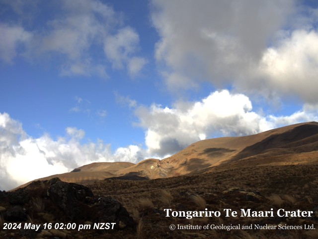 WorkingStill imageTongariro Te Maari Crater volcano camera
 WorkingStill imageTongariro volcano camera
 WorkingStill imageNgauruhoe and Tongariro volcano camera
 WorkingStill imageNgauruhoe volcano camera
 WorkingStill imageRuapehu East volcano camera
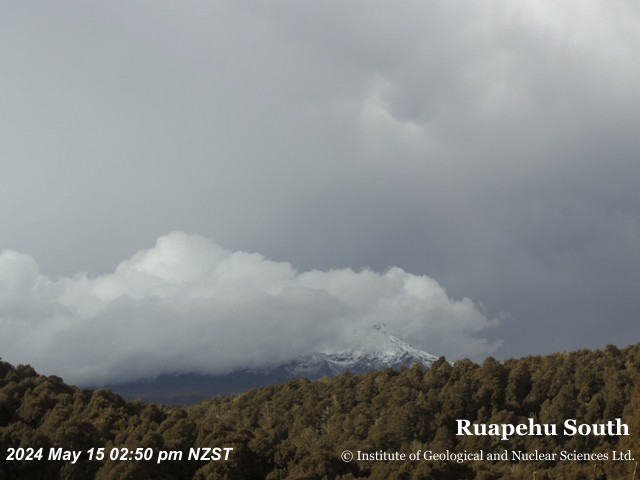 WorkingStill imageRuapehu South volcano camera
 WorkingStill imageRuapehu North volcano camera
No live video among these cameras. Turn off "Live video only" to see them all.
Questions about GeoNet cameras
Who is behind GeoNet?
GeoNet is New Zealand's geological hazard monitoring system. It watches earthquakes, volcanoes, landslides and tsunamis, and is run by Earth Sciences New Zealand with funding from the Natural Hazards Commission Toka Tū Ake. Provider website
Where are the GeoNet cameras?
They cover New Zealand. Cameras in New Zealand
How many GeoNet cameras can I watch?
LiveLocation shows 11 GeoNet cameras; 11 were live or showing a fresh image at the last check. We check them automatically and mark broken ones "Offline" instead of hiding the problem. See them on the map
How often do GeoNet cameras update?
The still images refresh about every 10 minutes.
Do any GeoNet cameras send live video?
No: they send still images, which is how GeoNet publishes them.
What licence do the GeoNet cameras use?
They are shared under Creative Commons Attribution 3.0 New Zealand. We show the credit "Image: GeoNet (Earth Sciences New Zealand, NHC Toka Tū Ake), CC BY 3.0 NZ" under every camera. LiveLocation never copies or re-hosts the images; check the provider's terms before reusing them. Provider terms
How do I report a problem with a GeoNet camera?
Press "Report this camera" on its page and we check it again; broken cameras are marked offline automatically too. For the camera itself, GeoNet (Earth Sciences New Zealand with the Natural Hazards Commission Toka Tū Ake) is the owner and the one who can fix it. Report a camera
A camera on LiveLocation does not mean its owner endorses LiveLocation. See our sources and how we choose cameras. All sources.