Spurr (SPCL camera) webcam — United States
Working Still image · every 10 min Volcano · Official source · What camera types mean
What you are looking at
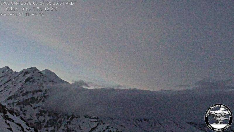
This second preset of the SPCL pan-tilt camera, at about 1,280 m (4,200 feet) on Mount Spurr, points north-northeast toward the main summit of Spurr, about 12 km (7.5 miles) away. On clear days the frame shows the broad, glacier-covered summit dome and rugged ridges below it; on cloudy days the camera can be completely enveloped in gray.
Mount Spurr is a large, ice-covered volcano about 125 km (80 miles) west of Anchorage. Its summit area has had warm ground, a crater lake that formed in 2004 and steaming since, while its flank vent, Crater Peak, has produced the eruptions of 1953 and 1992. The unrest that began in 2024 was centered beneath the summit area. The Alaska Volcano Observatory Spurr page posts current alert levels.
Expect a new still roughly every ten minutes. Clouds often wrap the upper mountain, especially in summer; cold, clear winter days give the sharpest views. Watch for steam rising from the summit area. Tip: switch to the Crater Peak preset from the same camera to see the vent most likely to erupt.
Camera details
- Camera ID
- spurr_spcl
- Operator
- Alaska Volcano Observatory (USGS)
- Name at the provider
- Spurr [SPCL, 4200 ft]
- Elevation
- 1,279 m / 4,196 ft
- Camera faces
- Northeast (32°)
- Image updates
- Every 10 min
- Video format
- Still image (JPEG)
- Position
- Exact (from the provider)
- Licence
- U.S. public domain
- Data source
- USGS volcano webcams
- Working, last 7 days
- Not enough checks yet
From the provider's own camera list and our automatic checks. Readings and details can change without notice.
On the map
Nearby live views
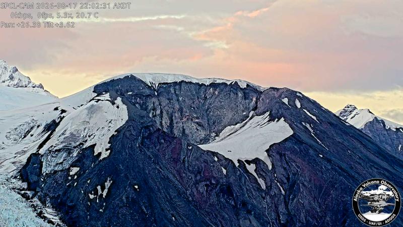 IntermittentStill imageSpurr - Crater Peak (SPCL camera)
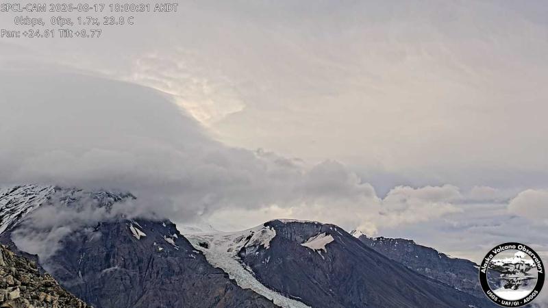 WorkingStill imageSpurr - Summit (SPCL camera)
 IntermittentStill imageSpurr (SPCR camera)
The nearest other cameras are Spurr - Crater Peak (SPCL camera) (0.0 mi), Spurr - Summit (SPCL camera) (0.0 mi) and Spurr (SPCR camera) (4.4 mi).
Camera radar centered here · More from USGS volcano observatories
Questions about Spurr (SPCL camera)
Can I watch Spurr (SPCL camera) live right now?
Yes, it is working: at our last automatic check it was sending new pictures. It is a still image, not video: a new photo arrives about every 10 minutes straight from Alaska Volcano Observatory (USGS).
How often does this camera refresh?
About every 10 minutes, on Alaska Volcano Observatory (USGS)'s schedule. The image on this page refreshes by itself while the tab is open.
Where does this camera come from?
Alaska Volcano Observatory (USGS) runs this camera, as part of the U.S. Geological Survey (USGS) Volcano Hazards Program. It is an official source. Its images are in the U.S. public domain. LiveLocation shows them straight from the source with credit. About USGS volcano observatories Watch at the source
Where is the Spurr (SPCL camera) camera?
It is in United States. Coordinates: 61.196, -152.340.
Is it day or night there now?
The camera is in the America/Anchorage time zone. The "Right now" panel above shows the local time live. On October 7 the sun rises at 8:32 AM and sets at 7:21 PM there.
Can I see other cameras nearby?
Yes: 3 other cameras are within 25 miles of this one. The live camera radar shows them all on a map, nearest first. Open the radar here
Where can I check the alert level for this volcano?
Alaska Volcano Observatory (USGS) sets the U.S. Volcano Alert Level and Aviation Color Code for this volcano, not LiveLocation. Read its latest update before you plan a visit; the camera alone cannot tell you how safe it is. USGS volcano updates Official camera page