USGS volcano observatories: live cameras
U.S. Geological Survey (USGS) Volcano Hazards Program
LiveLocation shows 98 cameras from U.S. Geological Survey (USGS) Volcano Hazards Program: 0 live video, 98 still images. 85 of them were live or showed a fresh image at the last check. The still images refresh about every 9 minutes.
- 98cameras
- 85working right now
- 0live video
- 5 minfastest refresh
About this source
The U.S. Geological Survey is the United States' federal earth-science agency. Its Volcano Hazards Program runs the volcano observatories, including the Hawaiian Volcano Observatory, the Alaska Volcano Observatory and the Cascades Volcano Observatory, which watch active volcanoes around the clock.
The webcams are monitoring tools that scientists use to see eruptions, gas plumes and changes at the summit. USGS images are in the public domain.
From the provider's own website: usgs.gov/programs/VHP/multimedia/webcams · checked Oct 7, 2026
Where its cameras are
- 🇺🇸 United States (98)
Coverage: Hawaii, Alaska and the Cascades, United States.
Credit, licence and how we show it
- Credit shown on every camera
- Image: U.S. Geological Survey (public domain)
- Terms
- Read the provider's terms · we last checked them on October 6, 2026
- How we play it
- Still images load in your browser directly from the provider's server and refresh about every 9 minutes. LiveLocation never copies, records or re-hosts the video or images.
- Status
- We check these cameras automatically and show "Live now" (live video), "Working" (still images and clips that are updating) or "Offline" honestly.
Best cameras from USGS volcano observatories
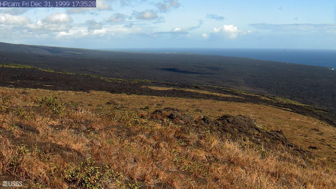 WorkingStill imageKīlauea: Hōlei Pali
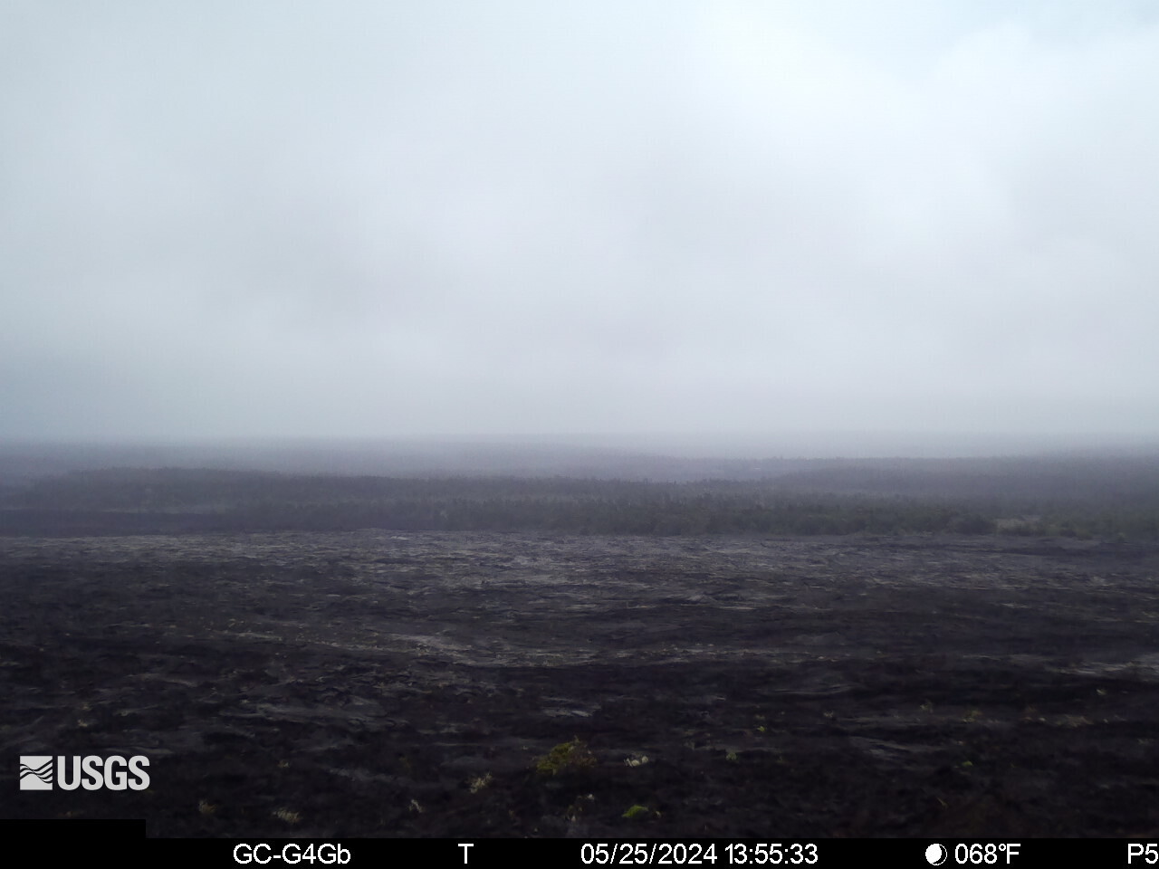 WorkingStill imageKīlauea upper East Rift Zone from Maunaulu
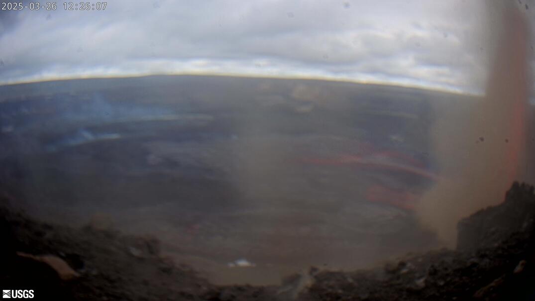 WorkingStill imageKīlauea: Halemaʻumaʻu and Kaluapele panorama
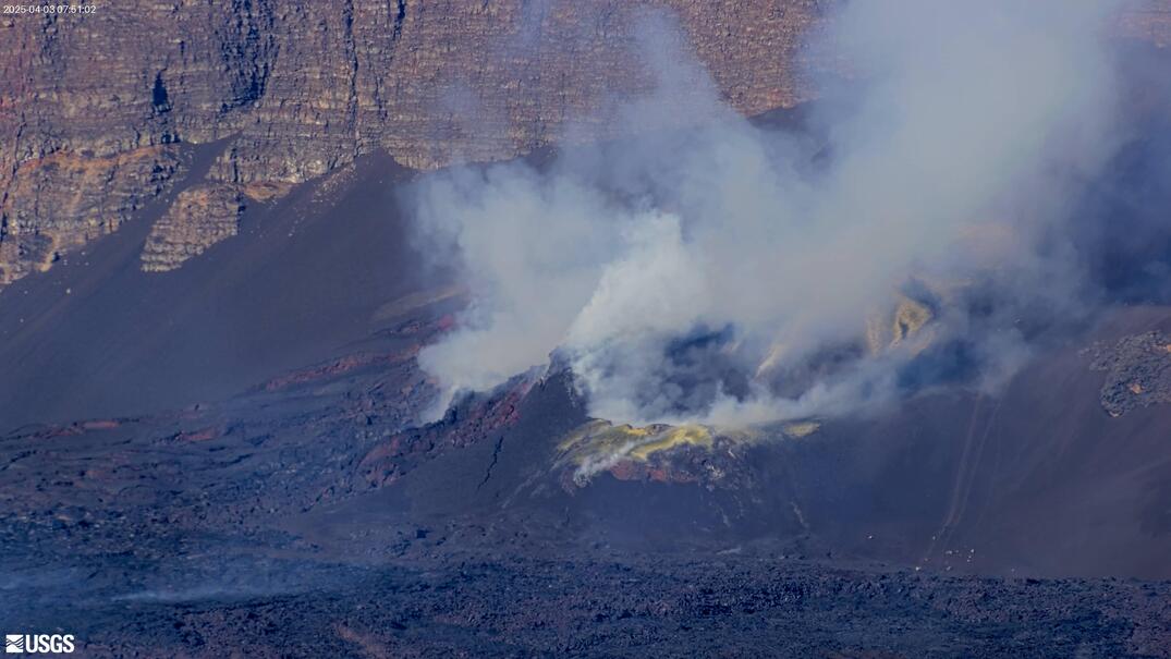 WorkingStill imageKīlauea summit: east Halemaʻumaʻu crater
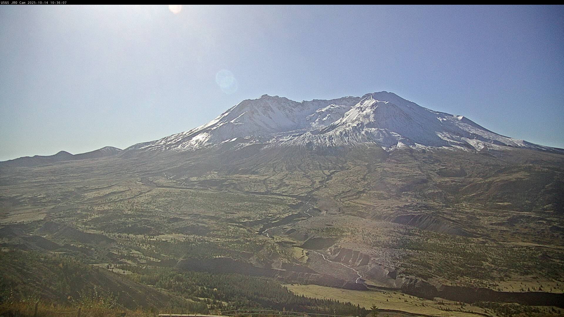 WorkingStill imageMount St. Helens from Johnston Ridge Observatory
 WorkingStill imageMauna Loa summit: Mokuʻāweoweo caldera
 WorkingStill imageKīlauea: Mauna Ulu
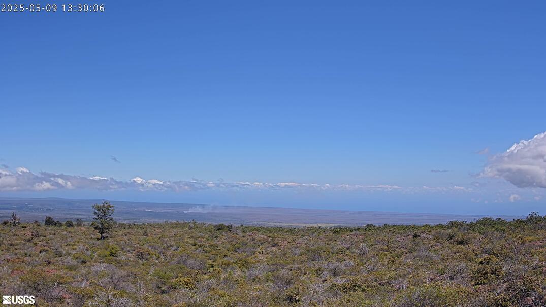 WorkingStill imageKīlauea summit from Mauna Loa Road
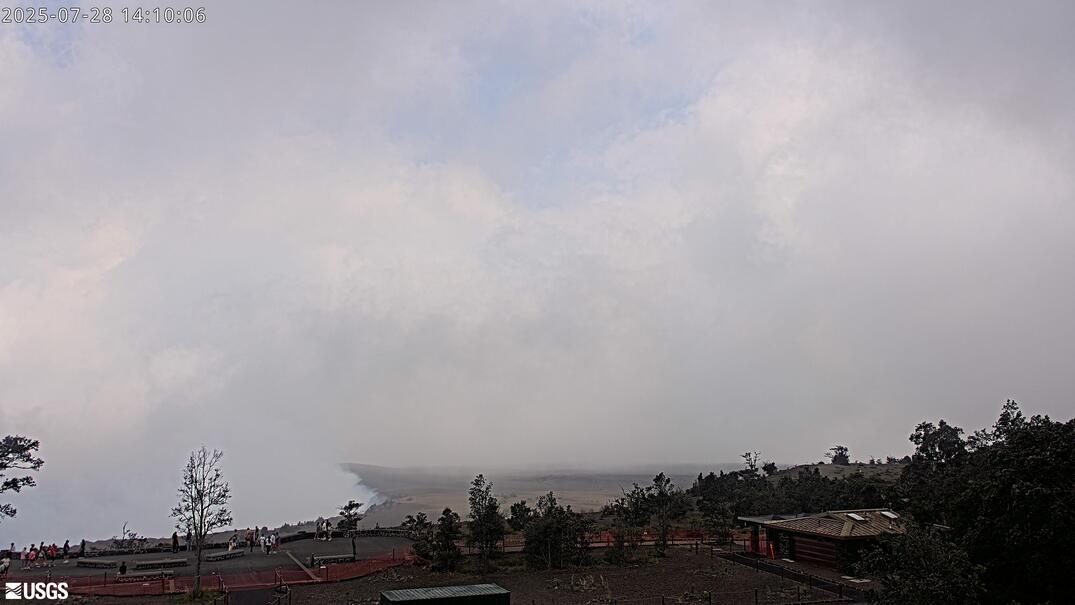 WorkingStill imageKīlauea: Kaluapele from the HVO observation tower
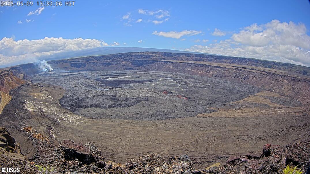 WorkingStill imageKīlauea caldera down-dropped block and Halemaʻumaʻu
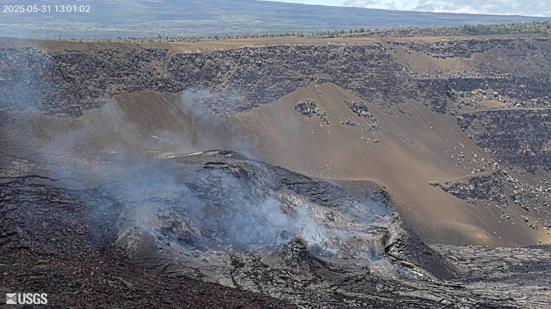 WorkingStill imageKīlauea summit: south Halemaʻumaʻu crater
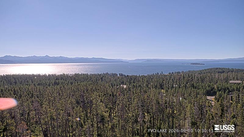 WorkingStill imageYellowstone Lake
 WorkingStill imageVeniaminof (VNSG camera)
 WorkingStill imageVeniaminof (VNCG camera)
 WorkingStill imageTanaga (TAPA camera)
 WorkingStill imageSpurr (SPCR camera)
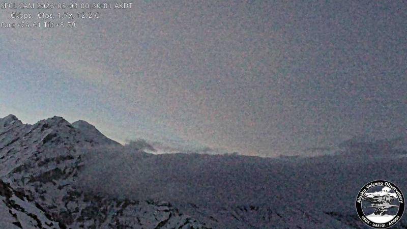 WorkingStill imageSpurr (SPCL camera)
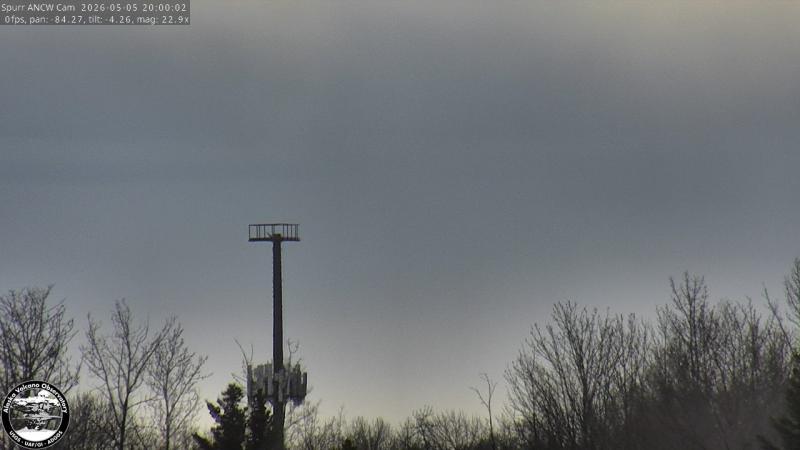 WorkingStill imageSpurr (ANCW camera)
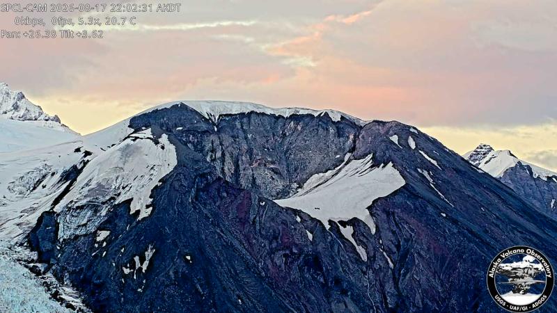 WorkingStill imageSpurr - Crater Peak (SPCL camera)
 WorkingStill imageShishaldin (WTUG camera)
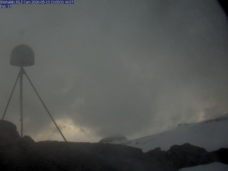 WorkingStill imageShishaldin (ISLZ camera)
 WorkingStill imageShishaldin (BRPK camera)
 WorkingStill imageSemisopochnoi (CETU camera)
 WorkingStill imageSemisopochnoi (CEPE camera)
No live video among these cameras. Turn off "Live video only" to see them all.
Questions about USGS volcano observatories cameras
What is USGS volcano observatories?
The U.S. Geological Survey is the United States' federal earth-science agency. Provider website
What area do the USGS volcano observatories cameras cover?
They cover Hawaii, Alaska and the Cascades, United States. Cameras in United States
How many USGS volcano observatories cameras are working right now?
LiveLocation shows 98 USGS volcano observatories cameras; 85 were live or showing a fresh image at the last check. We check them automatically and mark broken ones "Offline" instead of hiding the problem. See them on the map
How fresh are the USGS volcano observatories pictures?
The still images refresh about every 9 minutes on average; the fastest every 5 min.
Does USGS volcano observatories have live video?
No: they send still images, which is how USGS volcano observatories publishes them.
Can I use USGS volcano observatories images, and how are they credited?
They are in the U.S. public domain. We show the credit "Image: U.S. Geological Survey (public domain)" under every camera. LiveLocation never copies or re-hosts the images; check the provider's terms before reusing them. Provider terms
A USGS volcano observatories camera is not working. What can I do?
Press "Report this camera" on its page and we check it again; broken cameras are marked offline automatically too. For the camera itself, the U.S. Geological Survey (USGS) Volcano Hazards Program is the owner and the one who can fix it. Report a camera
A camera on LiveLocation does not mean its owner endorses LiveLocation. See our sources and how we choose cameras. All sources.