Kilauea sunrise live cam – Kīlauea summit from Mauna Loa Road
Working, checked 14 h ago Still image · every 5 min Volcano · Official source · What camera types mean
What you are looking at
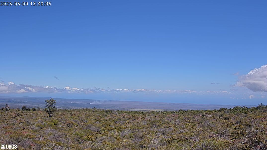
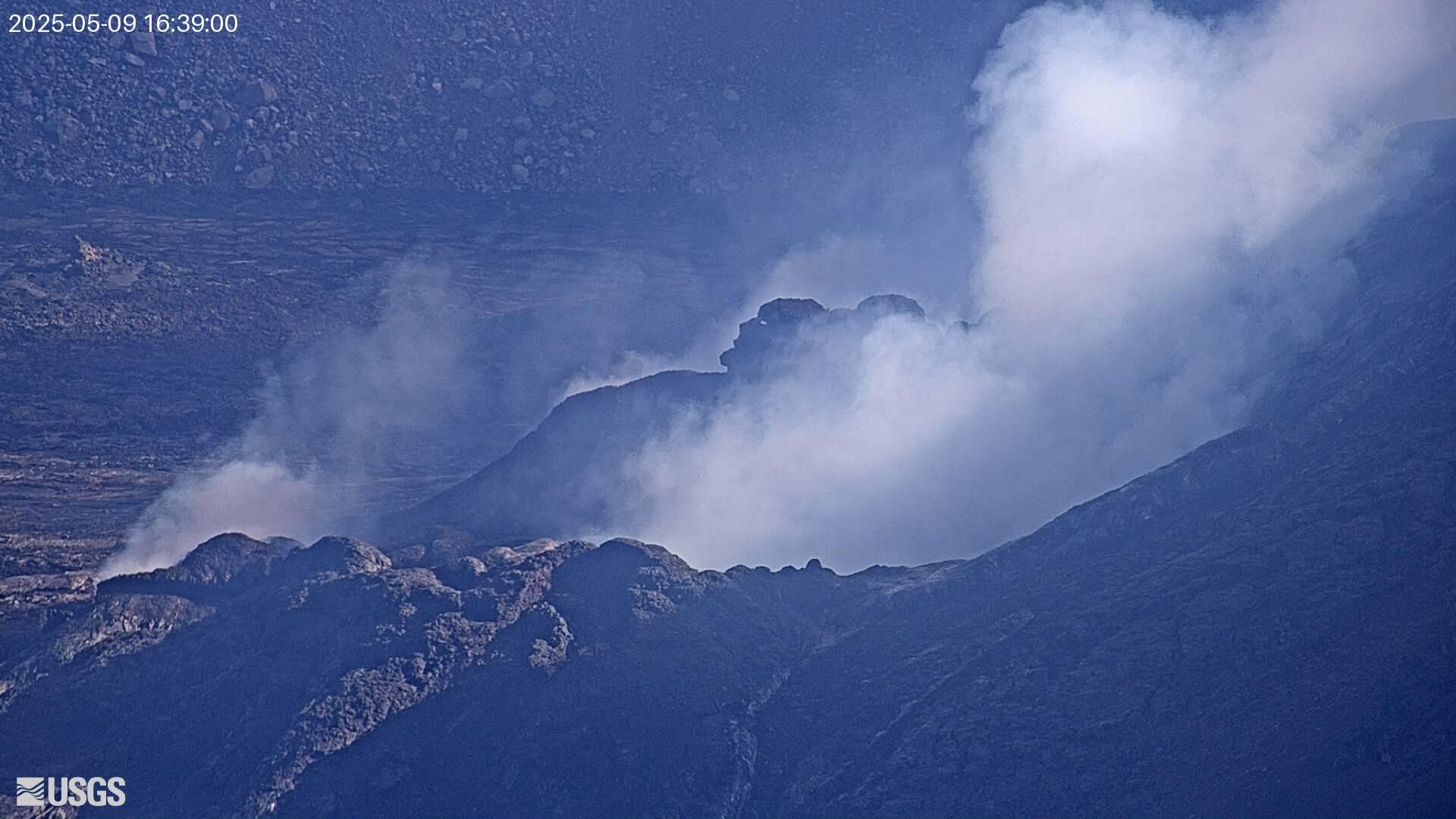
KPcam looks at Kīlauea's summit from a distance, from the Mauna Loa Strip Road area northwest of the caldera, about 4 km (2.5 miles) away. The camera points southeast over native shrubland and scattered trees toward the low skyline where the summit caldera lies, so the volcano itself is a flat horizon and the main thing to watch is the plume that rises from Halemaʻumaʻu above it.
This distant view is useful because it shows how high an eruption plume or lava fountain climbs and which way the wind carries it, something the rim cameras cannot show. Kīlauea's summit has been in an episodic eruption since late 2024, with periods of lava fountaining in Halemaʻumaʻu between quiet pauses. The USGS Hawaiian Volcano Observatory posts the current alert level and activity notes.
New images arrive about every five minutes. Mornings are often clearest; afternoon clouds frequently drift across the upper slopes. At night the horizon is dark unless there is lava glow or a lit plume above the crater. Tip: if the rim cameras are hidden in fumes or rain, this one may still show the plume rising.
Camera details
- Camera ID
- KPcam
- Operator
- USGS Hawaiian Volcano Observatory
- Volcano
- Kīlauea
- Volcano number (Smithsonian GVP)
- 332010
- Camera faces
- Southeast (120°)
- Image updates
- Every 5 min
- Video format
- Still image (JPEG)
- Position
- Approximate
- Licence
- U.S. public domain
- Data source
- USGS volcano webcams
- Last checked
- Oct 7, 12:30 UTC (14 h ago)
- Working, last 7 days
- 100 % of checks
From the provider's own camera list and our automatic checks. Readings and details can change without notice.
About Kilauea, Hawaii
Weather now in Kilauea: 66 °F (19 °C), clear sky, wind 6 mph (10 km/h) from the southwest. Forecast for 5 PM local time. Weather: MET Norway (CC BY 4.0)
Kilauea is a place in Hawaii, United States. The camera is about 2.6 mi from the center. Kilauea keeps Pacific/Honolulu time (UTC−10 at the moment); the panel above shows the local time live.
Kilauea is the youngest and most active volcano on Hawaii Island, a broad shield on the southeastern slope of Mauna Loa inside Hawaii Volcanoes National Park. Its summit caldera holds Halemaumau crater, home of the fire goddess Pele in Hawaiian tradition, and two rift zones run east and southwest from it. The 35-year Puu Oo eruption on the East Rift Zone ended in 2018, when lava poured into lower Puna…
On the map
The position is approximate.
Live cameras near Kilauea
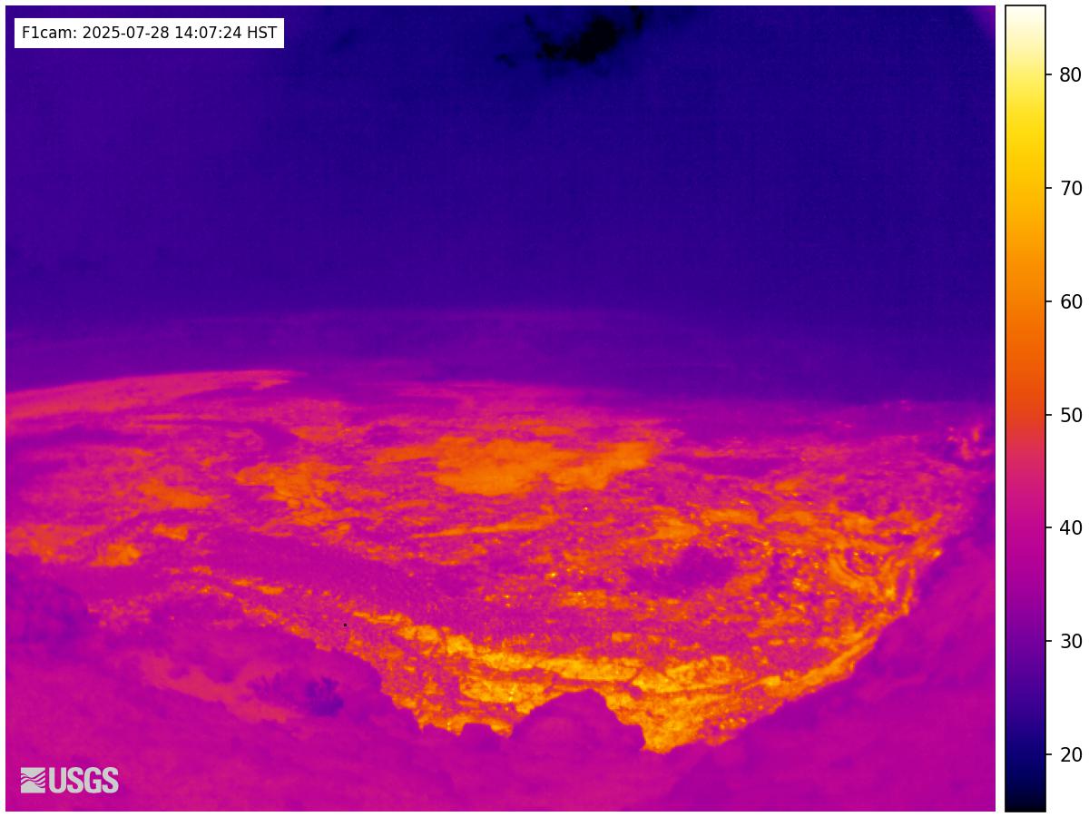 IntermittentStill imageKīlauea: Halemaʻumaʻu thermal camera
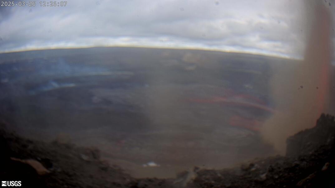 WorkingStill imageKīlauea: Halemaʻumaʻu and Kaluapele panorama
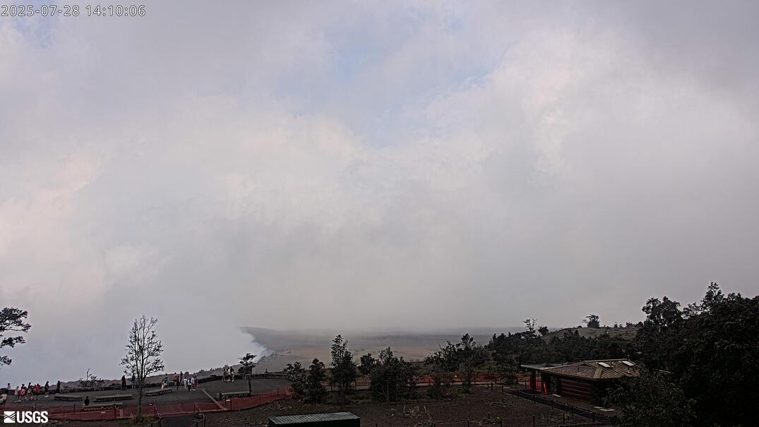 WorkingStill imageKīlauea: Kaluapele from the HVO observation tower
 Live nowYouTube liveKīlauea volcano live: west Halemaʻumaʻu crater (USGS V1cam)
 IntermittentStill imageKīlauea summit: west Halemaʻumaʻu crater
 Live nowYouTube liveKīlauea volcano live: east Halemaʻumaʻu crater (USGS V2cam)
Also nearby: Kīlauea: Halemaʻumaʻu thermal camera (1.7 mi), Kīlauea: Halemaʻumaʻu and Kaluapele panorama (1.7 mi) and Kīlauea: Kaluapele from the HVO observation tower (1.7 mi).
All Kilauea live cameras · Camera radar centered here · More from USGS volcano observatories
Questions about Kīlauea summit from Mauna Loa Road
Is the Kīlauea summit from Mauna Loa Road camera live right now?
Yes, it is working: at our last automatic check (Oct 7, 12:30 UTC) it was sending new pictures. It is a still image, not video: a new photo arrives about every 5 minutes straight from USGS Hawaiian Volcano Observatory.
Who operates the Kīlauea summit from Mauna Loa Road camera?
USGS Hawaiian Volcano Observatory runs this camera, as part of the U.S. Geological Survey (USGS) Volcano Hazards Program. It is an official source. Its images are in the U.S. public domain. LiveLocation shows them straight from the source with credit. About USGS volcano observatories Watch at the source
Where exactly is this camera?
It is about 2.6 mi from the center of Kilauea, Hawaii, United States. Approximate coordinates: 19.44, -155.31. All cameras in Kilauea
What time is it at the camera, and is it day or night?
Kilauea is in the Pacific/Honolulu time zone. The "Right now" panel above shows the local time live. On October 7 the sun rises at 6:13 AM and sets at 6:04 PM there.
Are there more live cameras near Kilauea?
Yes: 17 other cameras are within 25 miles of this one. The live camera radar shows them all on a map, nearest first. Open the radar here
Is this volcano erupting, and where is the official alert level?
USGS Hawaiian Volcano Observatory sets the U.S. Volcano Alert Level and Aviation Color Code for this volcano, not LiveLocation. Read its latest update before you plan a visit; the camera alone cannot tell you how safe it is. USGS volcano updates Official camera page
What are the conditions at Kīlauea summit from Mauna Loa Road now?
The latest readings from the provider: Volcano alert level: WATCH · aviation code ORANGE; Last USGS notice: 15:13 local time; Issued by: Hawaiian Volcano Observatory (USGS). They update with the provider's data, so they can be a few minutes old.