Kilauea live webcam – Kīlauea: Mauna Ulu
Working, checked 14 h ago Still image · every 5 min Volcano · Official source · What camera types mean
What you are looking at
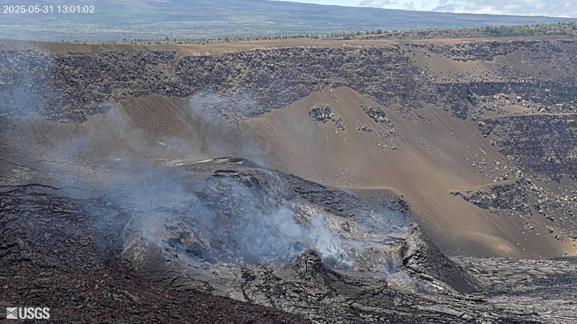
MUcam is a panoramic camera at Mauna Ulu, on Kīlauea's upper East Rift Zone, and it looks across the rough, dark lava of the Mauna Ulu field toward a low skyline. Steam often rises in small columns from warm cracks and vents along that skyline, and scrubby plants grow among the older flows in the foreground, giving a sense of how quickly life returns to cooled lava in the rainy uplands.
Mauna Ulu, which means "growing mountain" in Hawaiian, formed during an eruption from 1969 to 1974 that sent lava all the way to the ocean. The East Rift Zone remains an active part of Kīlauea, and magma has moved into this area again in recent years. The USGS Hawaiian Volcano Observatory posts the latest notes for the rift zone and the summit.
The picture on this page is a still frame, renewed about every five minutes. Morning sun rises roughly ahead of the camera, which can flare the image; later in the day, clouds and showers are common. Steam is most visible on cool mornings. Tip: the Mauna Ulu trail off Chain of Craters Road crosses this lava field, so this camera is a good weather check before you hike.
Camera details
- Camera ID
- MUcam
- Operator
- USGS Hawaiian Volcano Observatory
- Volcano
- Kīlauea
- Volcano number (Smithsonian GVP)
- 332010
- Image updates
- Every 5 min
- Video format
- Still image (JPEG)
- Position
- Approximate
- Licence
- U.S. public domain
- Data source
- USGS volcano webcams
- Last checked
- Oct 7, 12:15 UTC (14 h ago)
- Working, last 7 days
- 75 % of checks
From the provider's own camera list and our automatic checks. Readings and details can change without notice.
About Kilauea, Hawaii
Weather now in Kilauea: 70 °F (21 °C), mostly clear, wind 7 mph (12 km/h) from the southwest. Forecast for 5 PM local time. Weather: MET Norway (CC BY 4.0)
Kilauea is a place in Hawaii, United States. The camera is about 5.7 mi from the center. Kilauea keeps Pacific/Honolulu time (UTC−10 at the moment); the panel above shows the local time live.
Kilauea is the youngest and most active volcano on Hawaii Island, a broad shield on the southeastern slope of Mauna Loa inside Hawaii Volcanoes National Park. Its summit caldera holds Halemaumau crater, home of the fire goddess Pele in Hawaiian tradition, and two rift zones run east and southwest from it. The 35-year Puu Oo eruption on the East Rift Zone ended in 2018, when lava poured into lower Puna…
On the map
The position is approximate.
Live cameras near Kilauea
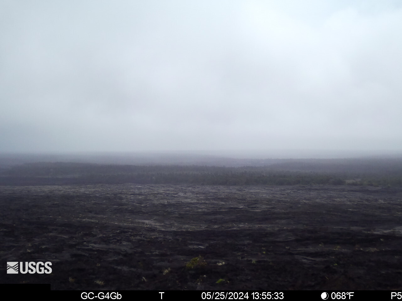 WorkingStill imageKīlauea upper East Rift Zone from Maunaulu
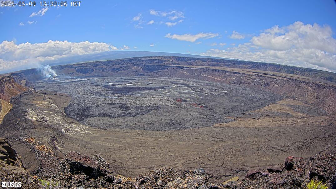 WorkingStill imageKīlauea caldera down-dropped block and Halemaʻumaʻu
 Live nowYouTube liveKīlauea volcano live: east Halemaʻumaʻu crater (USGS V2cam)
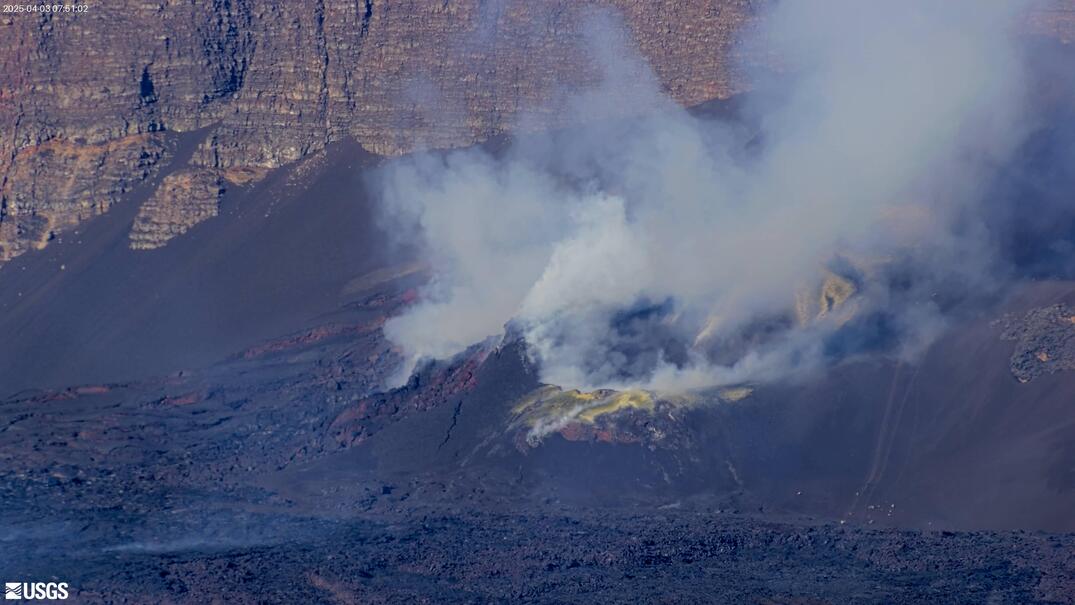 WorkingStill imageKīlauea summit: east Halemaʻumaʻu crater
 Live nowYouTube liveKīlauea volcano live: south Halemaʻumaʻu crater (USGS V3cam)
 WorkingStill imageKīlauea summit: south Halemaʻumaʻu crater
Also nearby: Kīlauea upper East Rift Zone from Maunaulu (0.3 mi), Kīlauea caldera down-dropped block and Halemaʻumaʻu (4.9 mi) and Kīlauea volcano live: east Halemaʻumaʻu crater (USGS V2cam) (5.3 mi).
All Kilauea live cameras · Camera radar centered here · More from USGS volcano observatories
Questions about Kīlauea: Mauna Ulu
Is Kīlauea: Mauna Ulu working right now?
Yes, it is working: at our last automatic check (Oct 7, 12:15 UTC) it was sending new pictures. It is a still image, not video: a new photo arrives about every 5 minutes straight from USGS Hawaiian Volcano Observatory.
Where does this camera come from?
USGS Hawaiian Volcano Observatory runs this camera, as part of the U.S. Geological Survey (USGS) Volcano Hazards Program. It is an official source. Its images are in the U.S. public domain. LiveLocation shows them straight from the source with credit. About USGS volcano observatories Watch at the source
Where exactly is this camera?
It is about 5.7 mi from the center of Kilauea, Hawaii, United States. Approximate coordinates: 19.36, -155.21. All cameras in Kilauea
What time is it at the camera, and is it day or night?
Kilauea is in the Pacific/Honolulu time zone. The "Right now" panel above shows the local time live. On October 7 the sun rises at 6:13 AM and sets at 6:03 PM there.
Are there more live cameras near Kilauea?
Yes: 16 other cameras are within 25 miles of this one. The live camera radar shows them all on a map, nearest first. Open the radar here
Is this volcano erupting, and where is the official alert level?
USGS Hawaiian Volcano Observatory sets the U.S. Volcano Alert Level and Aviation Color Code for this volcano, not LiveLocation. Read its latest update before you plan a visit; the camera alone cannot tell you how safe it is. USGS volcano updates Official camera page
What are the conditions at Kīlauea: Mauna Ulu now?
The latest readings from the provider: Volcano alert level: WATCH · aviation code ORANGE; Last USGS notice: 15:13 local time; Issued by: Hawaiian Volcano Observatory (USGS). They update with the provider's data, so they can be a few minutes old.