Live cameras in Shenzhen, China
200 cameras: 1 live video, 199 still images · 199 working now · updated Oct 8, 03:31 UTC
Shenzhen has 200 live cameras on LiveLocation right now: 1 live video, 199 still images. Good places to start: San Sham Road Roundabout, Hong Kong, Fanling Highway near Fanling Recreation Ground - Eastbound, Hong Kong, Castle Peak Rd-Ping Shan near Tong Yan San Tsuen Playground - Eastbound, Hong Kong. Local time is 11:31 AM (Asia/Shanghai). Today the sun rises at 6:17 AM and sets at 6:05 PM.
Shenzhen live cameras
Every Shenzhen live camera we know of: 1 live video, 199 still images. 199 were working at the last check. Shenzhen is home to about 17.5 million people.
Weather now in Shenzhen: 28 °C (83 °F), mostly clear, wind 13 km/h (8 mph) from the northeast. Forecast for 12 PM local time. Weather: MET Norway (CC BY 4.0)
 OfflineYouTube liveHong Kong International Airport (HKG)
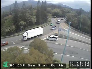 WorkingStill imageSan Sham Road Roundabout, Hong Kong
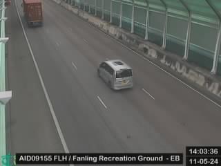 WorkingStill imageFanling Highway near Fanling Recreation Ground - Eastbound, Hong Kong
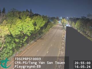 WorkingStill imageCastle Peak Rd-Ping Shan near Tong Yan San Tsuen Playground - Eastbound, Hong Kong
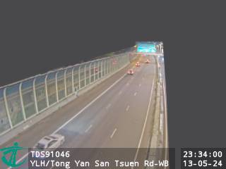 WorkingStill imageYuen Long Highway near Tong Yan San Tsuen Road - Westbound, Hong Kong
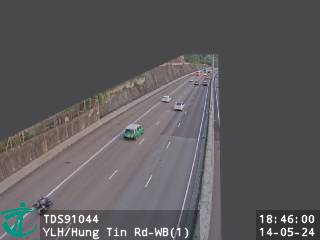 WorkingStill imageYuen Long Highway near Hung Tin Road - Westbound (1), Hong Kong
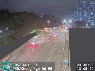 WorkingStill imageTing Kok Road near Chung Nga Road - Eastbound, Hong Kong
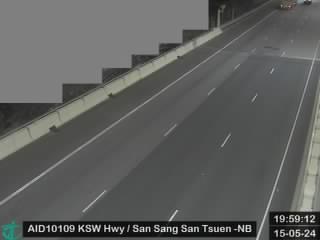 WorkingStill imageKong Sham Western Highway near San Sang San Tsuen - Northbound, Hong Kong
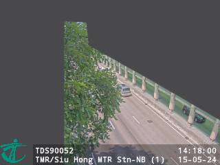 WorkingStill imageTuen Mun Road near Siu Hong MTR Station - Northbound (1), Hong Kong
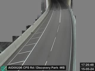 WorkingStill imageCheung Pei Shan Road near Discovery Park - Westbound, Hong Kong
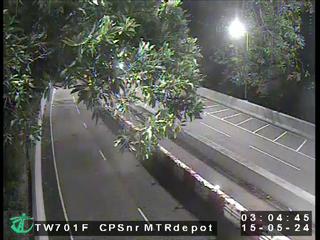 WorkingStill imageCheung Pei Shan Road near Mei Wan Street, Hong Kong
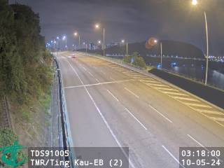 WorkingStill imageTuen Mun Road near Ting Kau - Eastbound (2), Hong Kong
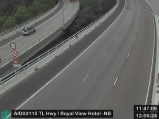 WorkingStill imageTsing Long Highway near Royal View Hotel - Northbound, Hong Kong
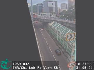 WorkingStill imageTuen Mun Road near Chi Lok Fa Yuen - Southbound, Hong Kong
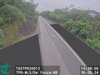 WorkingStill imageTai Po Road - Ma Liu Shui near De Yucca - Northbound, Hong Kong
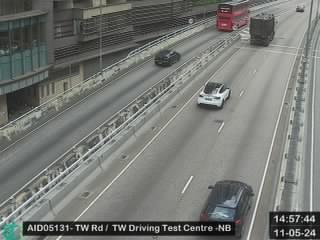 WorkingStill imageTsuen Wan Road near Tsuen Wan Driving Test Centre - Northbound, Hong Kong
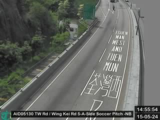 WorkingStill imageTsuen Wan Road near Wing Kei Road 5-A-Side Soccer Pitch - Northbound, Hong Kong
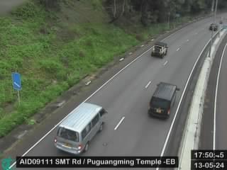 WorkingStill imageShing Mun Tunnel Road near Puguangming Temple - Eastbound, Hong Kong
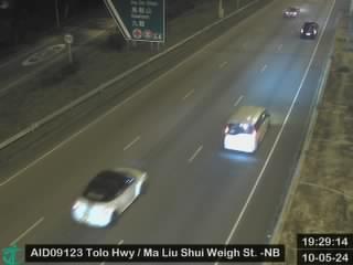 WorkingStill imageTolo Highway near Ma Liu Shui Weigh Station - Northbound, Hong Kong
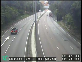 WorkingStill imageShing Mun Tunnel Shatin Side, Hong Kong
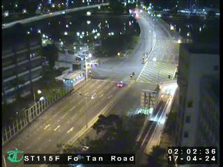 WorkingStill imageFo Tan Road, Hong Kong
 WorkingStill imageTate's Cairn Highway near Shatin Hospital, Hong Kong
 WorkingStill imageMa On Shan Bypass near Ma On Shan Service Reservoir - Westbound, Hong Kong
 WorkingStill imageSha Tin Road near Christ College - Northbound, Hong Kong
 WorkingStill imageChing Cheung Road near Lai Chi Kok Park Sports Centre - Westbound, Hong Kong
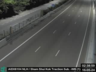 WorkingStill imageNorth Lantau Highway near Sham Shui Kok Substation - Westbound (1), Hong Kong
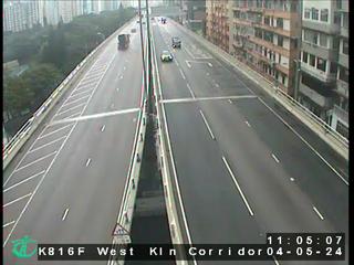 WorkingStill imageWest Kowloon Corridor near Nam Cheong Estate, Hong Kong
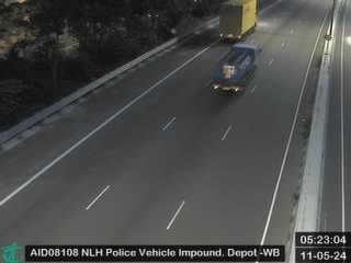 WorkingStill imageNorth Lantau Highway near HK Police Vehicle Pound - Westbound, Hong Kong
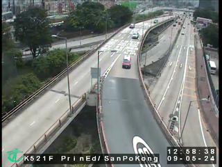 WorkingStill imagePrince Edward Road East near San Po Kong, Hong Kong
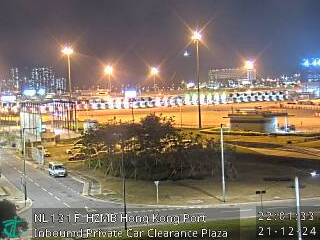 WorkingStill imageHZMB Hong Kong Port Inbound Private Car Clearance Plaza, Hong Kong
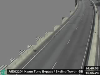 WorkingStill imageKwun Tong Bypass near Skyline Tower Car Park - Southbound, Hong Kong
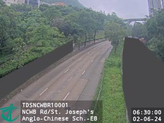 WorkingStill imageNew Clear Water Bay Road near St. Joseph's Anglo-Chinese School - Eastbound, Hong Kong
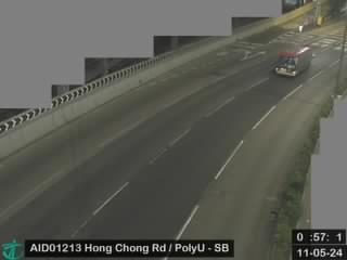 WorkingStill imageHong Chong Road near The Hong Kong Polytechnic University - Southbound, Hong Kong
 WorkingStill imageKwun Tong Bypass near Kwun Tong Ferry - Northbound, Hong Kong
 WorkingStill imageQueen's Road Central near Garden Road, Hong Kong
 WorkingStill imageIsland Eastern Corridor near North Point Ferry Pier Eastbound, Hong Kong
 WorkingStill imageTseung Kwan O Tunnel Road near Po Hong Park - Eastbound, Hong Kong
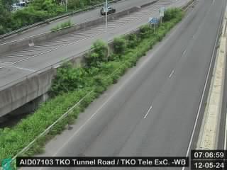 WorkingStill imageTseung Kwan O Tunnel Road near Telephone Exchange - Westbound, Hong Kong
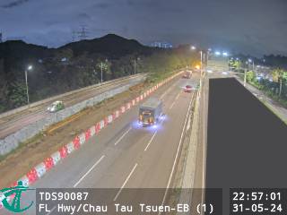 WorkingStill imageFanling Highway near Chau Tau Tsuen - Eastbound (1), Hong Kong
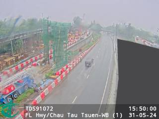 WorkingStill imageFanling Highway near Chau Tau Tsuen - Westbound (1), Hong Kong
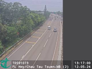 WorkingStill imageFanling Highway near Chau Tau Tsuen - Westbound (2), Hong Kong
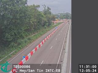 WorkingStill imageFanling Highway near San Tin Interchange - Eastbound, Hong Kong
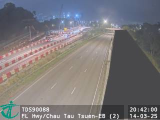 WorkingStill imageFanling Highway near Chau Tau Tsuen - Eastbound (2), Hong Kong
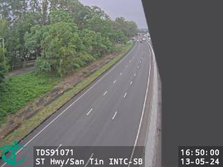 WorkingStill imageSan Tin Highway near San Tin Interchange - Southbound, Hong Kong
 WorkingStill imageFanling Highway near Kwu Tung - Westbound (1), Hong Kong
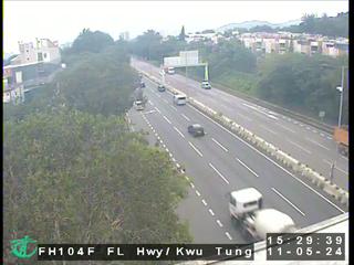 WorkingStill imageFanling Highway near Kwu Tung, Hong Kong
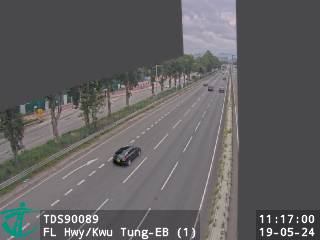 WorkingStill imageFanling Highway near Kwu Tung - Eastbound (1), Hong Kong
 WorkingStill imageSan Tin Highway near Man Tin Cheung Park - Northbound, Hong Kong
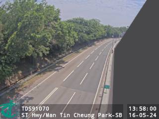 WorkingStill imageSan Tin Highway near Man Tin Cheung Park - Southbound, Hong Kong
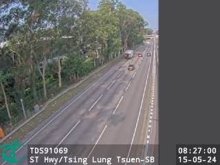 WorkingStill imageSan Tin Highway near Tsing Lung Tsuen - Southbound, Hong Kong
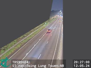 WorkingStill imageSan Tin Highway near Tsing Lung Tsuen - Northbound, Hong Kong
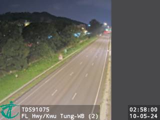 WorkingStill imageFanling Highway near Kwu Tung - Westbound (2), Hong Kong
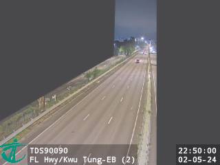 WorkingStill imageFanling Highway near Kwu Tung - Eastbound (2), Hong Kong
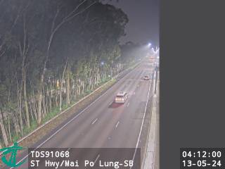 WorkingStill imageSan Tin Highway near Mai Po Lung - Southbound, Hong Kong
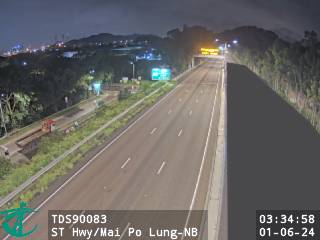 WorkingStill imageSan Tin Highway near Mai Po Lung - Northbound, Hong Kong
 WorkingStill imageSan Tin Highway near Mai Po, Hong Kong
 WorkingStill imageSan Tin Highway near San Tin Soccer Pitch - Northbound, Hong Kong
 WorkingStill imageSan Tin Highway near San Tin Soccer Pitch - Southbound, Hong Kong
 WorkingStill imageFanling Highway near Kwu Tung - Eastbound (3), Hong Kong
 WorkingStill imageFanling Highway near Kwu Tung - Westbound (3), Hong Kong
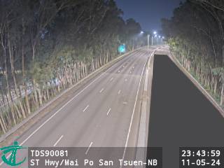 WorkingStill imageSan Tin Highway near Mai Po San Tsuen - Northbound, Hong Kong
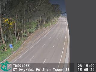 WorkingStill imageSan Tin Highway near Mai Po Shan Tsuen - Southbound, Hong Kong
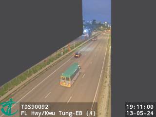 WorkingStill imageFanling Highway near Kwu Tung - Eastbound (4), Hong Kong
 WorkingStill imageFanling Highway near Kwu Tung - Westbound (4), Hong Kong
 WorkingStill imageCastle Peak Road near Mai Po, Hong Kong
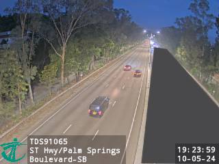 WorkingStill imageSan Tin Highway near Palm Springs Boulevard - Southbound, Hong Kong
 WorkingStill imageSan Tin Highway near Palm Springs Boulevard - Northbound, Hong Kong
 WorkingStill imageFanling Highway near Golf Parkview - Eastbound, Hong Kong
 WorkingStill imageFanling Highway near Golf Parkview - Westbound, Hong Kong
 WorkingStill imageSan Tin Highway near Geranium Path - Northbound, Hong Kong
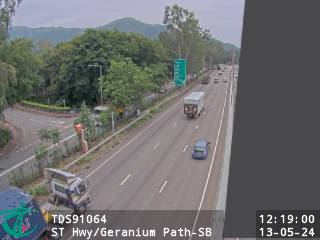 WorkingStill imageSan Tin Highway near Geranium Path - Southbound, Hong Kong
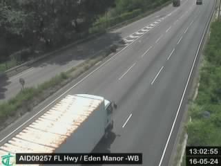 WorkingStill imageFanling Highway near Eden Manor - Westbound, Hong Kong
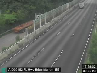 WorkingStill imageFanling Highway near Eden Manor - Eastbound, Hong Kong
 WorkingStill imageFanling Highway near Sheung Shui Roundabout, Hong Kong
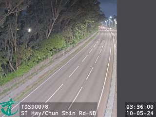 WorkingStill imageSan Tin Highway near Chun Shin Road - Northbound, Hong Kong
 WorkingStill imageSan Wan Road near Lung Sum Avenue, Hong Kong
 WorkingStill imageSan Tin Highway near Chun Shin Road - Southbound, Hong Kong
 WorkingStill imageFanling Highway near Choi Yuen Estate Choi Lai House - Eastbound, Hong Kong
 WorkingStill imageFanling Highway near Choi Yuen Estate Choi Lai House - Westbound, Hong Kong
 WorkingStill imageFanling Highway near Pak Wo Road, Hong Kong
 WorkingStill imageSan Tin Highway near Fairview Park Boulevard - Southbound, Hong Kong
 WorkingStill imageSan Tin Highway near Fairview Park, Hong Kong
 WorkingStill imageSan Tin Highway near Fairview Park Boulevard - Northbound, Hong Kong
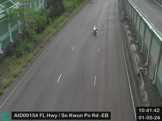 WorkingStill imageFanling Highway near So Kwun Po Road - Eastbound, Hong Kong
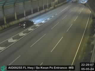 WorkingStill imageFanling Highway near Entrance from So Kwun Po Road - Westbound, Hong Kong
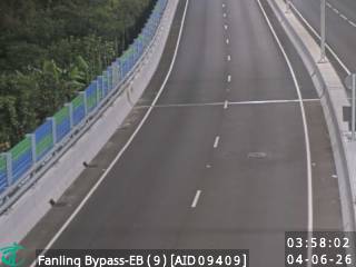 WorkingStill imageFanling Bypass - Eastbound (9), Hong Kong
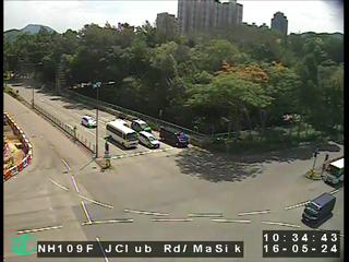 WorkingStill imageJockey Club Road near Ma Sik Road, Hong Kong
 WorkingStill imageFanling Bypass - Westbound (1), Hong Kong
 WorkingStill imageFanling Bypass - Eastbound (8), Hong Kong
 WorkingStill imageHeung Yuen Wai Highway near Lin Ma Hang Road Interchange, Hong Kong
 WorkingStill imageSan Tin Highway near Kam Pok Road East - Northbound, Hong Kong
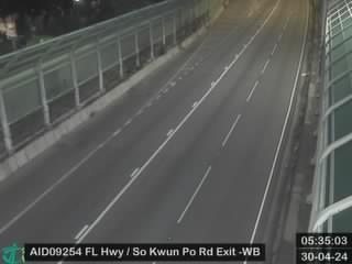 WorkingStill imageFanling Highway near Exit to So Kwun Po Road - Westbound, Hong Kong
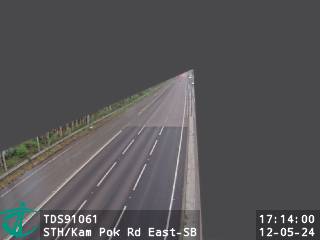 WorkingStill imageSan Tin Highway near Kam Pok Road East - Southbound, Hong Kong
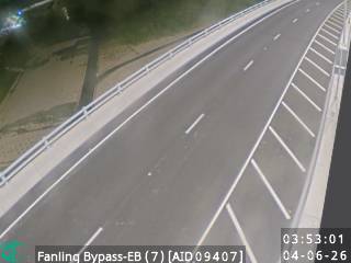 WorkingStill imageFanling Bypass - Eastbound (7), Hong Kong
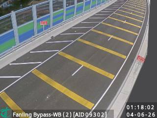 WorkingStill imageFanling Bypass - Westbound (2), Hong Kong
 WorkingStill imageSan Tin Highway near Pok Wai - Northbound, Hong Kong
 WorkingStill imageFanling Bypass - Westbound (3), Hong Kong
 WorkingStill imageSan Tin Highway near Pok Wai - Southbound, Hong Kong
 WorkingStill imageFanling Highway near Fanling Station - Westbound, Hong Kong
 WorkingStill imageFanling Bypass - Eastbound (6), Hong Kong
 WorkingStill imageFanling Highway near MTR Fanling Station, Hong Kong
 WorkingStill imageFanling Highway near Fanling Station - Eastbound, Hong Kong
 WorkingStill imageSha Tau Kok Road near Ma Sik Road, Hong Kong
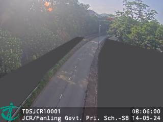 WorkingStill imageJockey Club Road near Fanling Government Primary School - Southbound, Hong Kong
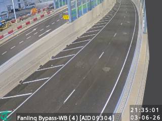 WorkingStill imageFanling Bypass - Westbound (4), Hong Kong
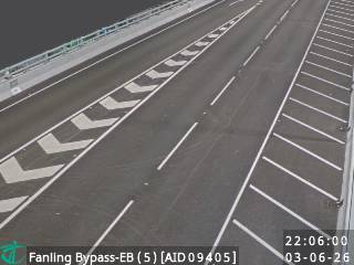 WorkingStill imageFanling Bypass - Eastbound (5), Hong Kong
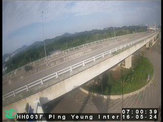 WorkingStill imageHeung Yuen Wai Highway near Ping Yeung Interchange, Hong Kong
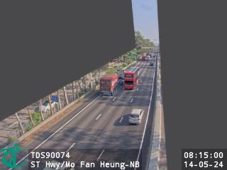 WorkingStill imageSan Tin Highway near Mo Fan Heung - Northbound, Hong Kong
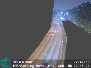 WorkingStill imageJockey Club Road near Fanling Government Primary School - Northbound, Hong Kong
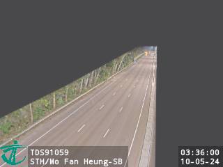 WorkingStill imageSan Tin Highway near Mo Fan Heung - Southbound, Hong Kong
 WorkingStill imageFanling Bypass - Westbound (5), Hong Kong
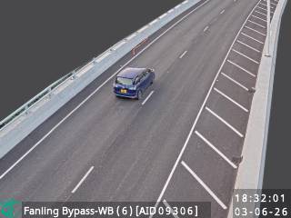 WorkingStill imageFanling Bypass - Westbound (6), Hong Kong
 WorkingStill imageFanling Bypass - Eastbound (4), Hong Kong
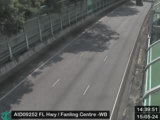 WorkingStill imageFanling Highway near Fanling Centre - Westbound, Hong Kong
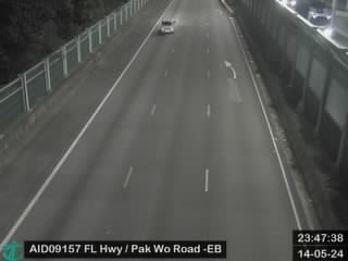 WorkingStill imageFanling Highway near Avon Park - Eastbound, Hong Kong
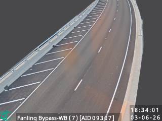 WorkingStill imageFanling Bypass - Westbound (7), Hong Kong
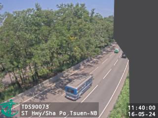 WorkingStill imageSan Tin Highway near Sha Po Tsuen - Northbound, Hong Kong
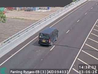 WorkingStill imageFanling Bypass - Eastbound (3), Hong Kong
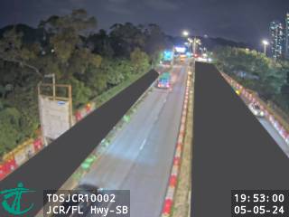 WorkingStill imageJockey Club Road near Fanling Highway - Southbound, Hong Kong
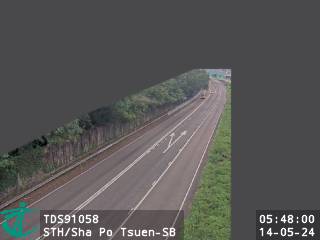 WorkingStill imageSan Tin Highway near Sha Po Tsuen - Southbound, Hong Kong
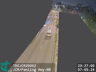 WorkingStill imageJockey Club Road near Fanling Highway - Northbound, Hong Kong
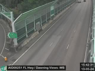 WorkingStill imageFanling Highway near Dawning Views - Westbound, Hong Kong
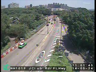 WorkingStill imageJockey Club Road near Fanling Highway, Hong Kong
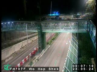 WorkingStill imageFL Hwy-Wo Hop Shek ITC, Hong Kong
 WorkingStill imageTsing Long Highway near Yuen Long Highway - Southbound (3), Hong Kong
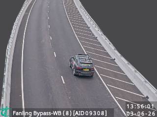 WorkingStill imageFanling Bypass - Westbound (8), Hong Kong
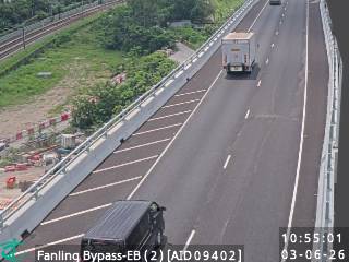 WorkingStill imageFanling Bypass - Eastbound (2), Hong Kong
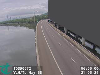 WorkingStill imageYuen Long Highway near Tsing Long Highway - Eastbound, Hong Kong
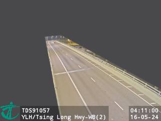 WorkingStill imageYuen Long Highway near Tsing Long Highway - Westbound (2), Hong Kong
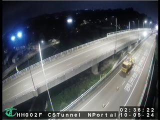 WorkingStill imageHeung Yuen Wai Highway near Cheung Shan Tunnel North Portal, Hong Kong
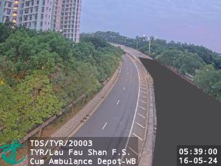 WorkingStill imageTin Ying Road near Lau Fau Shan Fire Station Cum Ambulance Depot - Westbound, Hong Kong
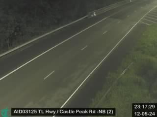 WorkingStill imageTsing Long Highway near Castle Peak Road (Yuen Long) - Northbound (2), Hong Kong
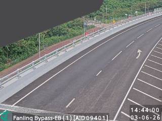 WorkingStill imageFanling Bypass - Eastbound (1), Hong Kong
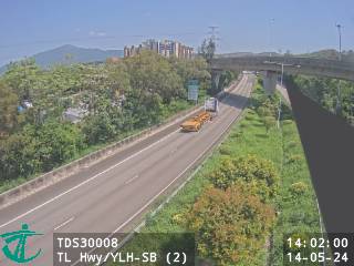 WorkingStill imageTsing Long Highway near Yuen Long Highway - Southbound (2), Hong Kong
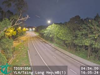 WorkingStill imageYuen Long Highway near Tsing Long Highway - Westbound (1), Hong Kong
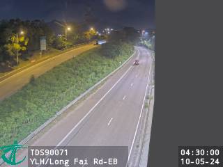 WorkingStill imageYuen Long Highway near Long Fai Road - Eastbound, Hong Kong
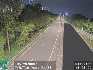 WorkingStill imageTin Ying Road near Tin Yuet Road - Southbound, Hong Kong
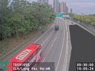 WorkingStill imageYuen Long Highway near Long Fai Road - Westbound, Hong Kong
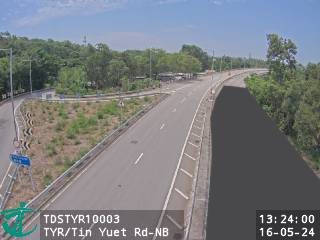 WorkingStill imageTin Ying Road near Tin Yuet Road - Northbound, Hong Kong
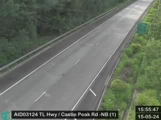 WorkingStill imageTsing Long Highway near Castle Peak Road (Yuen Long) - Northbound (1), Hong Kong
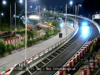 WorkingStill imageFL Hwy-Bus Interchange, Hong Kong
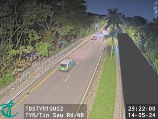 WorkingStill imageTin Ying Road near Tin Sau Road - Northbound, Hong Kong
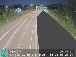 WorkingStill imageYuen Long Highway near Pok Oi Interchange - Eastbound (2), Hong Kong
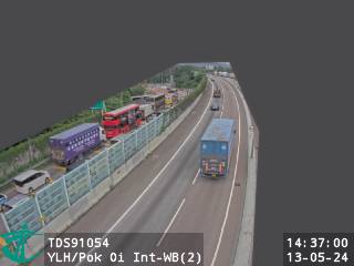 WorkingStill imageYuen Long Highway near Pok Oi Interchange - Westbound (2), Hong Kong
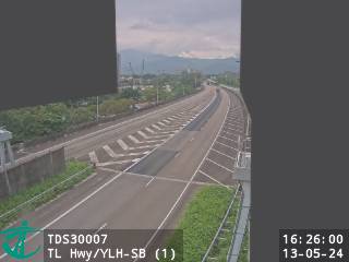 WorkingStill imageTsing Long Highway near Yuen Long Highway - Southbound (1), Hong Kong
 WorkingStill imageTsing Long Highway near Kam Tin Road - Northbound (3), Hong Kong
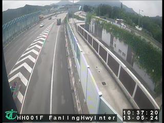 WorkingStill imageHeung Yuen Wai Highway near Fanling Highway Interchange, Hong Kong
 WorkingStill imageTin Ying Road near Tin Sau Road - Southbound, Hong Kong
 WorkingStill imageCastle Peak Road near Pok Oi Interchange, Hong Kong
 WorkingStill imageYuen Long Highway near Pok Oi Interchange, Hong Kong
 WorkingStill imageTsing Long Highway near Kam Tin Road - Northbound (2), Hong Kong
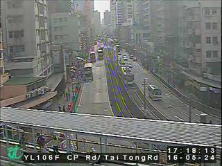 WorkingStill imageCastle Peak Road nearYuen Long, Hong Kong
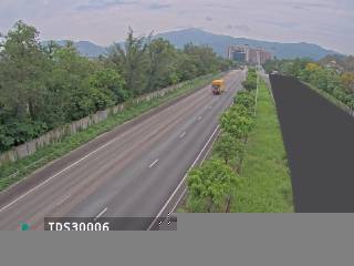 WorkingStill imageTsing Long Highway near Au Tau Treatment Works - Southbound, Hong Kong
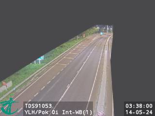 WorkingStill imageYuen Long Highway near Pok Oi Interchange - Westbound (1), Hong Kong
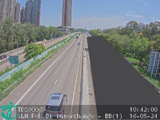 WorkingStill imageYuen Long Highway near Pok Oi Interchange - Eastbound (1), Hong Kong
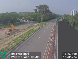 WorkingStill imageTin Ying Road near Tin Wah Road - Northbound, Hong Kong
 WorkingStill imageTsing Long Highway near Ko Po San Tsuen, Hong Kong
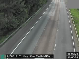 WorkingStill imageTsing Long Highway near Kam Tin Road - Northbound (1), Hong Kong
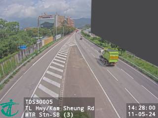 WorkingStill imageTsing Long Highway near Kam Sheung Road MTR Station - Southbound (3), Hong Kong
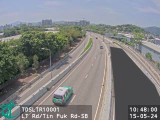 WorkingStill imageLong Tin Road near Tin Fuk Road - Southbound, Hong Kong
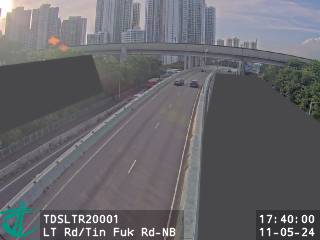 WorkingStill imageLong Tin Road near Tin Fuk Road - Northbound, Hong Kong
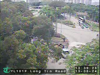 WorkingStill imageLong Tin Road near Long Ping Road, Hong Kong
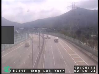 WorkingStill imageFanling Highway near Hong Lok Yuen, Hong Kong
 WorkingStill imageTsing Long Highway near MTR Kam Sheung Road Station - Northbound (2), Hong Kong
 WorkingStill imageLong Tin Road near Yung Yuen Road - Northbound, Hong Kong
 WorkingStill imageLong Tin Road near Yung Yuen Road - Southbound, Hong Kong
 WorkingStill imageYuen Long Highway near Shap Pat Heung Interchange - Westbound (2), Hong Kong
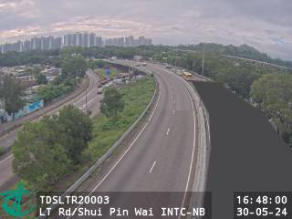 WorkingStill imageLong Tin Road near Shui Pin Wai Interchange - Northbound, Hong Kong
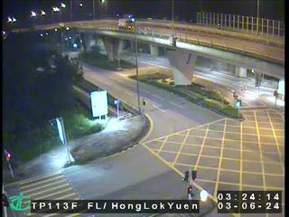 WorkingStill imageFanling Highway near Hong Lok Yuen Road, Hong Kong
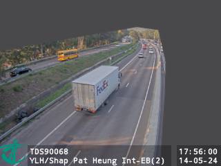 WorkingStill imageYuen Long Highway near Shap Pat Heung Interchange - Eastbound (2), Hong Kong
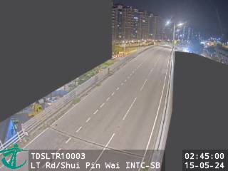 WorkingStill imageLong Tin Road near Shui Pin Wai Interchange - Southbound, Hong Kong
 WorkingStill imageTsing Long Highway near Kam Sheung Road MTR Station - Southbound (2), Hong Kong
 WorkingStill imageCastle Peak Rd-Ping Shan near Long Tin Road - Westbound, Hong Kong
 WorkingStill imageTsing Long Highway near MTR Kam Sheung Road Station - Northbound (1), Hong Kong
 WorkingStill imageLong Tin Road near Tong Yan San Tsuen Interchange - Southbound, Hong Kong
 WorkingStill imageLong Tin Road near Tong Yan San Tsuen Interchange - Northbound, Hong Kong
 WorkingStill imageCastle Peak Rd-Ping Shan near Ping Shan Light Rail Stop - Eastbound, Hong Kong
 WorkingStill imageYuen Long Highway near Shap Pat Heung Interchange - Eastbound (1), Hong Kong
 WorkingStill imageYuen Long Highway near Shap Pat Heung Interchange - Westbound (1), Hong Kong
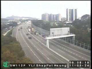 WorkingStill imageYuen Long Highway near Shap Pat Heung, Hong Kong
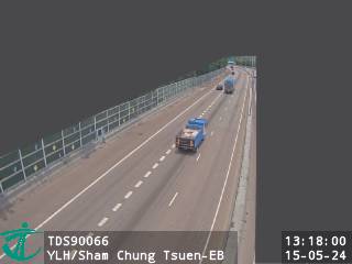 WorkingStill imageYuen Long Highway near Sham Chung Tsuen - Eastbound, Hong Kong
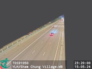 WorkingStill imageYuen Long Highway near Sham Chung Village - Westbound, Hong Kong
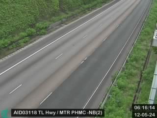 WorkingStill imageTsing Long Highway near MTR Pat Heung Maintenance Centre - Northbound (2), Hong Kong
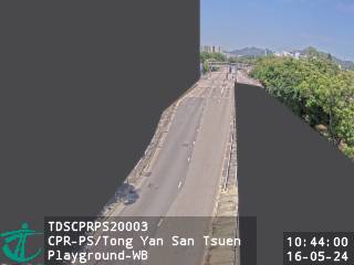 WorkingStill imageCastle Peak Rd-Ping Shan near Tong Yan San Tsuen Playground - Westbound, Hong Kong
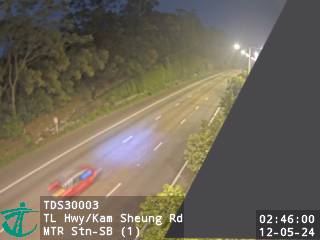 WorkingStill imageTsing Long Highway near Kam Sheung Road MTR Station - Southbound (1), Hong Kong
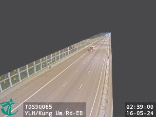 WorkingStill imageYuen Long Highway near Kung Um Road - Eastbound, Hong Kong
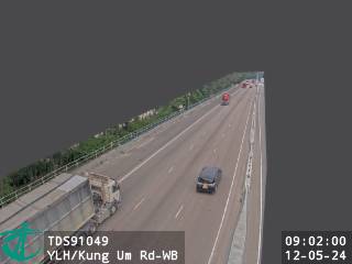 WorkingStill imageYuen Long Highway near Kung Um Road - Westbound, Hong Kong
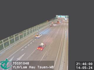 WorkingStill imageYuen Long Highway near Lam Hau Tsuen - Westbound, Hong Kong
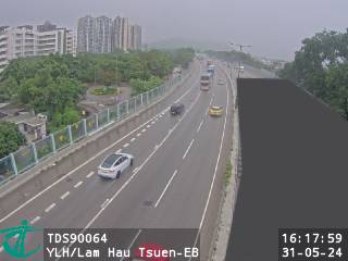 WorkingStill imageYuen Long Highway near Lam Hau Tsuen - Eastbound, Hong Kong
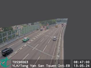 WorkingStill imageYuen Long Highway near Tong Yan San Tsuen Interchange - Eastbound, Hong Kong
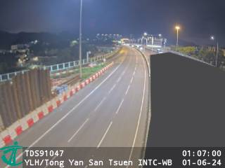 WorkingStill imageYuen Long Highway near Tong Yan San Tsuen Interchange - Westbound, Hong Kong
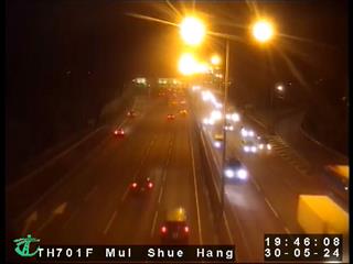 WorkingStill imageTolo Highway near Mui Shue Hang, Hong Kong
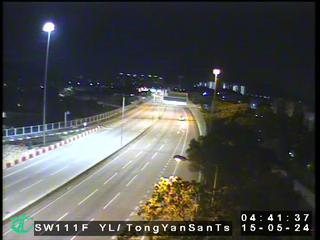 WorkingStill imageYuen Long Highway near Tong Yan San Tsuen Interchange, Hong Kong
 WorkingStill imageYuen Long Highway near Tong Yan San Tsuen Road - Eastbound, Hong Kong
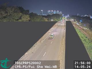 WorkingStill imageCastle Peak Rd-Ping Shan near Fui Sha Wai - Westbound, Hong Kong
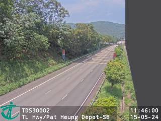 WorkingStill imageTsing Long Highway near Pat Heung Depot - Southbound, Hong Kong
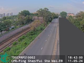 WorkingStill imageCastle Peak Rd-Ping Shan near Fui Sha Wai - Eastbound, Hong Kong
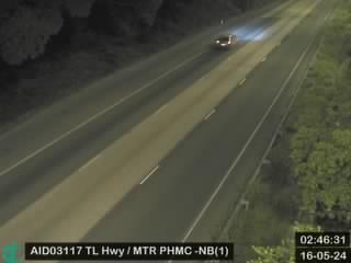 WorkingStill imageTsing Long Highway near MTR Pat Heung Maintenance Centre - Northbound (1), Hong Kong
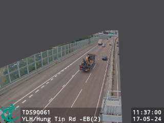 WorkingStill imageYuen Long Highway near Hung Tin Road - Eastbound (2), Hong Kong
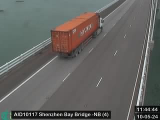 WorkingStill imageShenzhen Bay Bridge - Northbound (4), Hong Kong
No live video among these cameras. Turn off "Live video only" to see them all.
Best cams to watch
- San Sham Road Roundabout, Hong Kong — Still image · every 2 min, working 100 % of the time in the last 30 days.
- Fanling Highway near Fanling Recreation Ground - Eastbound, Hong Kong — Still image · every 2 min, working 100 % of the time in the last 30 days.
- Castle Peak Rd-Ping Shan near Tong Yan San Tsuen Playground - Eastbound, Hong Kong — Still image · every 2 min, working 100 % of the time in the last 30 days.
Shenzhen sits on the east bank of the Pearl River estuary in Guangdong, right across the Shenzhen River from Hong Kong. Within living memory it was a cluster of fishing and farming villages; in May 1980 it became the first Special Economic Zone in China, and it has since grown into a city of glass towers, electronics markets and tech campuses, home to companies such as Huawei, Tencent and DJI. The 2020 census counted about 17.56 million residents across roughly 1,997 square kilometers, from the coastal flats of Nanshan in the west to green hills and beaches toward Dapeng in the east.
A plain note about the cameras on this page: none of them are inside mainland China yet. Because Shenzhen is a large city with a wide radius on our map, it picks up the Hong Kong Transport Department traffic cameras across the border, mostly in the New Territories and Kowloon. These are official road cameras that post a small still snapshot, refreshed about every two minutes. The closest ones to Shenzhen watch the roads that lead to the boundary crossings: Kong Sham Western Highway, which runs to the Shenzhen Bay Bridge and the Shenzhen Bay Port, and Heung Yuen Wai Highway, which serves the newest crossing, Heung Yuen Wai, paired with Liantang Port on the Shenzhen side. When those views fill up with trucks and coaches, you are seeing the cross-border traffic that ties the two cities together.
Shenzhen keeps China Standard Time, UTC+8, with no daylight saving. The climate is humid subtropical and shaped by the monsoon: winters are mild and fairly dry, while summers are hot, wet and open to typhoons, with most of the yearly rain falling between late spring and early autumn. Weekday rush hours and the days around Chinese New Year and the October Golden Week holiday tend to bring the busiest border traffic. Autumn and early winter usually give the clearest, most comfortable daylight for watching.
For the wider picture, open our Hong Kong page, which gathers the full network of about a thousand Transport Department cameras, including the harbor tunnels and Tsing Ma Bridge. We hope to add mainland views for Shenzhen itself as reliable public sources turn up.
Sources: Shenzhen - Wikipedia · Hong Kong-Shenzhen Western Corridor (Shenzhen Bay Bridge) - Wikipedia · Heung Yuen Wai Control Point - Wikipedia · Transport Department: CCTV images on the Internet.
Nearby places
- Hong Kong (999)
- Victoria (990)
- Tsuen Wan (901)
- Tuen Mun (832)
- Tsing Yi Town (826)
- Kwai Chung (793)
- Sha Tin (701)
- Sham Shui Po (688)
Questions about Shenzhen
How many live cameras are there in Shenzhen?
LiveLocation lists 200 cameras in and around Shenzhen, China: 1 live video, 199 still images. 199 of them were live or showing a fresh image at the last check.
Where do the Shenzhen cameras come from?
They come from Hong Kong Transport Department (199) and Curated YouTube live streams (1). Each camera plays straight from the agency or owner that runs it, with credit. Hong Kong Transport Department Curated YouTube live streams
What kinds of views are there in Shenzhen?
The views are traffic and highway (199) and airport and runway (1). Good ones to start with: San Sham Road Roundabout, Hong Kong and Fanling Highway near Fanling Recreation Ground - Eastbound, Hong Kong. San Sham Road Roundabout, Hong Kong Fanling Highway near Fanling Recreation Ground - Eastbound, Hong Kong
Is there live video from Shenzhen?
Yes: 1 of the 200 cameras send live video (1 on YouTube). Turn on "Live video only" above the grid to see just those. The other 199 are still images that refresh every few minutes.
When is the best time to watch the Shenzhen cameras?
Shenzhen is on Asia/Shanghai time. On October 8 the sun rises at 6:17 AM and sets at 6:05 PM, so still images are clearest between those times. Road cameras show the most traffic in the weekday morning and evening rush hours.
Are there live cameras near Shenzhen?
The nearest are Gangxia (0.9 km away, 45 cameras), Shenzhen City Centre (1.4 km away, 242 cameras) and Shawei (4.5 km away, 56 cameras). Gangxia Shenzhen City Centre Shawei
Is there a map of the cameras in Shenzhen?
The map at the top of this page shows all 200 of them. The live camera radar centers on Shenzhen and lists every camera within 5 to 250 km, nearest first, with filters for live video, traffic, nature and more. Open the radar on Shenzhen
Place names and locations: GeoNames, licensed under CC BY 4.0.