Live cameras in Auckland, New Zealand
91 cameras: 0 live video, 91 still images · 91 working now · updated Oct 8, 03:30 UTC
Auckland has 91 live cameras on LiveLocation right now: 0 live video, 91 still images. Good places to start: SH1 Market Rd, Auckland, SH16 Carrington Rd Overbridge, Auckland, SH20 Rimu Rd, Auckland. Local time is 4:30 PM (Pacific/Auckland). Today the sun rises at 6:48 AM and sets at 7:29 PM.
Auckland live cameras
Every Auckland live camera we know of: 0 live video, 91 still images. 91 of them were live or fresh at the last check. Auckland is home to about 1.5 million people.
Weather now in Auckland: 19 °C (66 °F), clear sky, wind 21 km/h (13 mph) from the southwest. Forecast for 5 PM local time. Weather: MET Norway (CC BY 4.0)
 WorkingStill imageSH1 Market Rd, Auckland
 WorkingStill imageSH16 Carrington Rd Overbridge, Auckland
 WorkingStill imageSH20 Rimu Rd, Auckland
 WorkingStill imageSH20 Bader Dr Overbridge, Auckland
 WorkingStill imageSH1 Tirohanga Whanui Bridge, Auckland
 WorkingStill imageSH20A George Bolt Mem Dr North, Auckland
 WorkingStill imageSH20 Portage Rd South, Auckland
 WorkingStill imageSH1 Dairy Flat, Auckland
 WorkingStill imageSH1/SH16 Central Mwy Junction, Auckland
 WorkingStill imageSH16 Bond St Overbridge, Auckland
 WorkingStill imageSH1 Onewa Rd, Auckland
 WorkingStill imageSH1 Greenlane Interchange, Auckland
 WorkingStill imageSH1 Esmonde Rd, Auckland
 WorkingStill imageSH16/20 Interchange East, Auckland
 WorkingStill imageSH16/20 Interchange South, Auckland
 WorkingStill imageSH20 Waterview, Auckland
 WorkingStill imageSH16/20 Interchange North, Auckland
 WorkingStill imageSH1 Northcote Rd, Auckland
 WorkingStill imageSH16 Causeway, Auckland
 WorkingStill imageSH20 Te Whitinga Footbridge, Auckland
 WorkingStill imageSH20 Maioro St, Auckland
 WorkingStill imageSH20 May Rd Overbridge, Auckland
 WorkingStill imageSH20 Dominion Rd, Auckland
 WorkingStill imageSH20 Hayr Rd Overbridge, Auckland
 WorkingStill imageSH20 Hillsborough Rd, Auckland
 WorkingStill imageSH20 Queenstown Rd, Auckland
 WorkingStill imageSH16 Rosebank Rd, Auckland
 WorkingStill imageSH1 Tristram Ave, Auckland
 WorkingStill imageSH16 Patiki Rd, Auckland
 WorkingStill imageSH20 Gloucester Park Rd, Auckland
 WorkingStill imageSH16 Whau River, Auckland
 WorkingStill imageSH1 South Eastern Hwy, Auckland
 WorkingStill imageSH20 Onehunga Wharf, Auckland
 WorkingStill imageSH16 Te Atatu Rd, Auckland
 WorkingStill imageSH18 Tauhinu Rd Overbridge, Auckland
 WorkingStill imageSH18 Greenhithe West, Auckland
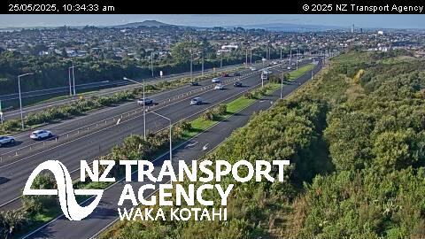 WorkingStill imageSH1 Sunset Rd Overbridge, Auckland
 WorkingStill imageSH18 Greenhithe Rd, Auckland
 WorkingStill imageSH18 Cuthill, Auckland
 WorkingStill imageSH20 Hastie Ave Footbridge, Auckland
 WorkingStill imageSH18 Schnapper Rock, Auckland
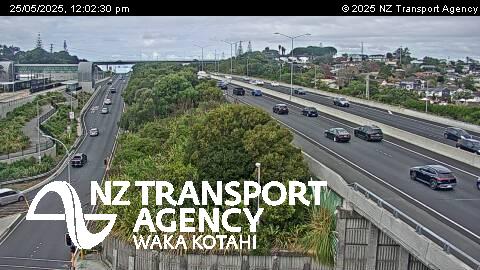 WorkingStill imageSH1 Constellation Dr, Auckland
 WorkingStill imageSH18 Upper Harbour Bridge, Auckland
 WorkingStill imageSH18 Paul Matthews Rd, Auckland
 WorkingStill imageSH1/SH18 Interchange, Auckland
 WorkingStill imageSH18 Albany Hwy, Auckland
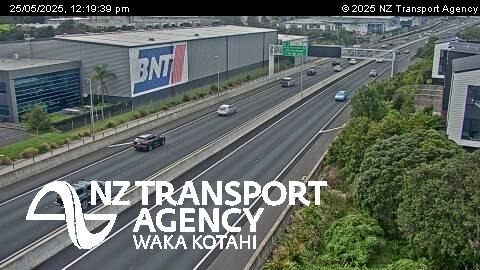 WorkingStill imageSH18 Unsworth Heights, Auckland
 WorkingStill imageSH18 Squadron Dr, Auckland
 WorkingStill imageSH16 Lincoln Rd South, Auckland
 WorkingStill imageSH16 Lincoln Rd North, Auckland
 WorkingStill imageSH20 Coronation Rd, Auckland
 WorkingStill imageSH18 Hobsonville, Auckland
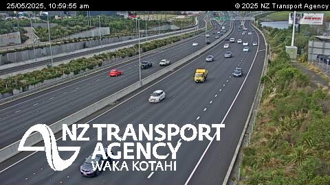 WorkingStill imageSH1 Rosedale, Auckland
 WorkingStill imageSH18 Brigham Creek Interchange, Auckland
 WorkingStill imageSH18 Waiahora Creek, Auckland
 WorkingStill imageSH20/20A Interchange, Auckland
 WorkingStill imageSH1 Greville Rd, Auckland
 WorkingStill imageSH20A Bader Dr Overbridge, Auckland
 WorkingStill imageSH18 Trig Rd, Auckland
 WorkingStill imageSH16/SH18 Interchange South, Auckland
 WorkingStill imageSH16/SH18 Interchange North, Auckland
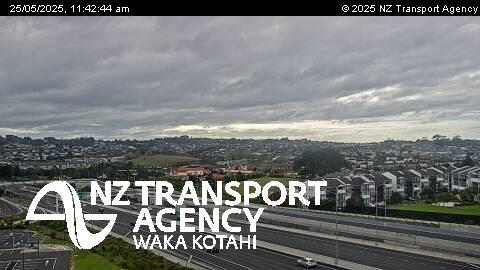 WorkingStill imageSH1 McClymonts Rd Overbridge, Auckland
 WorkingStill imageSH20 Massey Rd, Auckland
 WorkingStill imageSH1 Bairds Rd Overbridge, Auckland
 WorkingStill imageSH20A George Bolt Mem Dr South, Auckland
 WorkingStill imageSH20 Portage Rd North, Auckland
 WorkingStill imageSH20 Puhinui Rd, Auckland
 WorkingStill imageSH20B Prices Rd, Auckland
 WorkingStill imageSH20 Cavendish Dr, Auckland
 WorkingStill imageSH20 Plunket Ave Overbridge, Auckland
 WorkingStill imageSH1 Redvale, Auckland
 WorkingStill imageSH20 Lambie Dr, Auckland
 WorkingStill imageSH1 Redoubt Rd, Auckland
 WorkingStill imageSH20 Barrowcliffe Pl Overbridge, Auckland
 WorkingStill imageSH20 Gt South Rd, Auckland
 WorkingStill imageSH1/SH20 Interchange South, Auckland
 WorkingStill imageSH1/SH20 Interchange North, Auckland
 WorkingStill imageSH1 Okura, Auckland
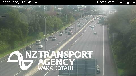 WorkingStill imageSH1 Orams Rd, Auckland
 WorkingStill imageSH1 Hill Road, Auckland
 WorkingStill imageSH1 Alfriston Rd Overbridge, Auckland
 WorkingStill imageSH1 Takanini, Auckland
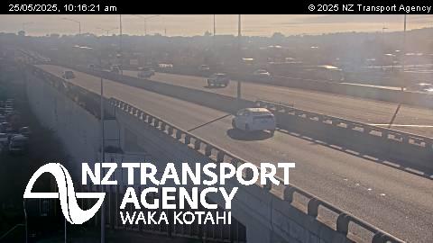 WorkingStill imageSH1 Takanini Interchange, Auckland
 WorkingStill imageSH1 Walter Strevens Dr Overbridge, Auckland
 WorkingStill imageSH1 Pahurehure Inlet, Auckland
 WorkingStill imageSH1 Papakura, Auckland
 WorkingStill imageSH1 Millwater, Auckland
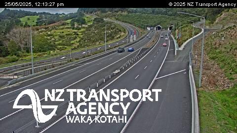 WorkingStill imageSH1 Johnstones Hill Tunnels, Auckland
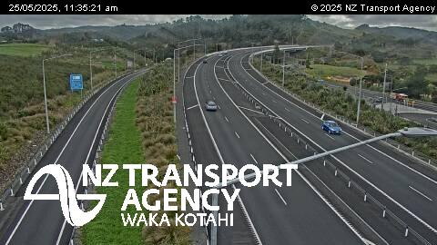 WorkingStill imageSH1 Puhoi Viaduct, Auckland
 WorkingStill imageSH1 Puhoi On-ramp, Auckland
 WorkingStill imageSH20 Owairaka, Auckland
No live video among these cameras. Turn off "Live video only" to see them all.
Best cams to watch
- SH1 Market Rd, Auckland — Still image · every 2 min, working 100 % of the time in the last 30 days.
- SH16 Carrington Rd Overbridge, Auckland — Still image · every 2 min, working 100 % of the time in the last 30 days.
- SH20 Rimu Rd, Auckland — Still image · every 2 min, working 100 % of the time in the last 30 days.
Auckland is New Zealand's largest city, home to about 1.55 million people in its urban area. It sprawls across a narrow isthmus on the North Island, with the Waitematā Harbour opening to the Hauraki Gulf on the northeast side and the broad, shallow Manukau Harbour facing the Tasman Sea to the southwest. At its narrowest the land between the two waters is less than two kilometers wide. Dozens of small extinct volcanoes dot the city, among them Maungawhau (Mount Eden) and Maungakiekie (One Tree Hill), and Rangitoto Island rises from the gulf as the youngest of them all. The Sky Tower, the waterfront at Viaduct Harbour and the curve of the Harbour Bridge define the central skyline.
What the cameras show
The cameras on this page come from NZTA Waka Kotahi, the national transport agency, which watches the state highway network. They send still pictures on a short cycle of a few minutes rather than streaming video. In Auckland they cover the motorway system that carries the city's heavy car traffic: State Highway 1, which runs north over the Harbour Bridge and south along the Southern Motorway, State Highway 16 heading northwest, and State Highway 20 with the Waterview Tunnel linking the west and south. Views of ramps, tunnel portals and the bridge approaches make it easy to see where congestion is building.
Auckland keeps New Zealand Standard Time, twelve hours ahead of UTC, and moves to daylight time from late September until early April. Weekday peaks typically run from about seven to nine in the morning and from four to six thirty in the evening, and the Harbour Bridge is often the slowest point. The climate is mild and humid; snow almost never falls, but sudden subtropical downpours, especially in late summer, can bring surface flooding. Summer evenings stay light until well past eight thirty.
For other views on the map, the South Auckland hub of Manukau has its own page near the airport, and the ferry terminal downtown links the city to Waiheke Island and Devonport.
Sources: Auckland - Wikipedia · NZTA Waka Kotahi traffic and travel · Auckland Volcanic Field - Wikipedia.
Nearby places
- Papatoetoe (45)
- Manukau City (39)
- Otahuhu (27)
- Mount Eden (25)
- Mangere (24)
- Otara (24)
- Avondale (23)
- Manurewa (22)
Questions about Auckland
How many cameras does LiveLocation have in Auckland?
LiveLocation lists 91 cameras in and around Auckland, New Zealand: 0 live video, 91 still images. 91 of them were live or showing a fresh image at the last check.
Who runs the cameras in Auckland?
All of them come from NZTA Waka Kotahi (91). Each camera plays straight from the agency or owner that runs it, with credit. NZTA Waka Kotahi
What can I see on the Auckland cameras?
All of them show traffic and highway (91). Good ones to start with: SH1 Market Rd, Auckland and SH16 Carrington Rd Overbridge, Auckland. SH1 Market Rd, Auckland SH16 Carrington Rd Overbridge, Auckland
Can I watch live video from Auckland?
Not yet: the cameras here send still images that refresh about every 2 minutes. The map can show only live-video cameras nearby. Live video on the map
What time is it in Auckland, and when is it light?
Auckland is on Pacific/Auckland time. On October 8 the sun rises at 6:48 AM and sets at 7:29 PM, so still images are clearest between those times. Road cameras show the most traffic in the weekday morning and evening rush hours.
Which places near Auckland also have cameras?
The nearest are Mount Eden (3.7 km away, 25 cameras), Remuera (4.7 km away, 18 cameras) and Avondale (6.8 km away, 23 cameras). Mount Eden Remuera Avondale
How can I see the Auckland cameras on a map?
The map at the top of this page shows all 91 of them. The live camera radar centers on Auckland and lists every camera within 5 to 250 km, nearest first, with filters for live video, traffic, nature and more. Open the radar on Auckland
Place names and locations: GeoNames, licensed under CC BY 4.0.