Live cameras in Porirua, New Zealand
21 cameras: 0 live video, 21 still images · 20 working now · updated Oct 8, 03:30 UTC
Porirua has 21 live cameras on LiveLocation right now: 0 live video, 21 still images. Good places to start: SH1 Kenepuru, Wellington, SH1 Pauatahanui North, Wellington, SH2 Petone, Wellington. Local time is 4:30 PM (Pacific/Auckland). Today the sun rises at 6:44 AM and sets at 7:32 PM.
Porirua live cameras
Porirua live cameras, all in one place: 0 live video, 21 still images. 20 were working at the last check. Porirua is home to about 62,000 people.
Weather now in Porirua: 14 °C (58 °F), cloudy, wind 32 km/h (20 mph) from the south. Forecast for 5 PM local time. Weather: MET Norway (CC BY 4.0)
 WorkingStill imageSH1 Kenepuru, Wellington
 WorkingStill imageSH1 Pauatahanui North, Wellington
 WorkingStill imageSH2 Petone, Wellington
 WorkingStill imageSH59 Paremata, Wellington
 WorkingStill imageSH1 Waitangirua North, Wellington
 WorkingStill imageSH1 Waitangirua South, Wellington
 WorkingStill imageSH1 Tawa, Wellington
 WorkingStill imageSH59 Plimmerton, Wellington
 WorkingStill imageSH1 Pauatahanui South, Wellington
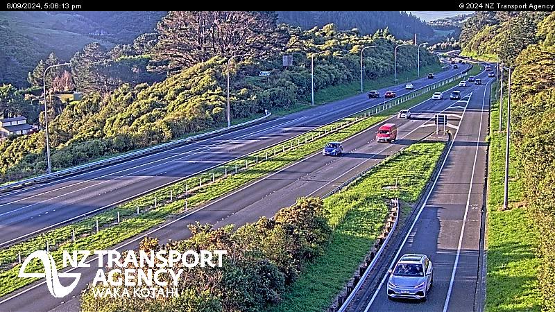 WorkingStill imageSH1 Churton Park North, Wellington
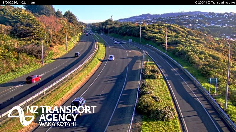 WorkingStill imageSH1 Churton Park South, Wellington
 WorkingStill imageSH59 Airlie Road, Wellington
 WorkingStill imageSH2 Kennedy Good Bridge, Wellington
 WorkingStill imageSH1 Johnsonville, Wellington
 WorkingStill imageStokes Valley Roundabout SB, Wellington
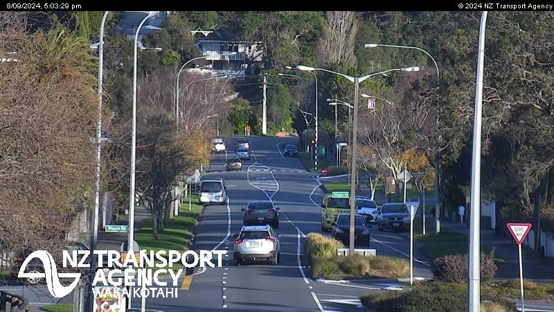 WorkingStill imageStokes Valley Roundabout EB, Wellington
 WorkingStill imageSH1 Newlands, Wellington
 WorkingStill imageSH59 Pukerua Bay, Wellington
 WorkingStill imageSH1 Ngauranga Gorge, Wellington
 WorkingStill imageSH1/SH2 Interchange, Wellington
 OfflineStill imageSH2 Melling, Wellington
No live video among these cameras. Turn off "Live video only" to see them all.
Best cams to watch
- SH1 Kenepuru, Wellington — Still image · every 2 min, working 100 % of the time in the last 30 days.
- SH1 Pauatahanui North, Wellington — Still image · every 2 min, working 100 % of the time in the last 30 days.
- SH2 Petone, Wellington — Still image · every 2 min, working 100 % of the time in the last 30 days.
Porirua is a harbor city in the Wellington Region, about twenty-five kilometers north of central Wellington at the southern end of the Kāpiti Coast. It almost surrounds Porirua Harbour and its quieter arm, the Pāuatahanui Inlet, so its suburbs sit in a ring of coves and hills: Titahi Bay with its boatsheds, the old seaside village of Plimmerton, Whitby across the inlet and the city center by the harbor's southern shore. About 61,500 people live here. Ngāti Toa have been the mana whenua of the area since the 1820s, and the city today is one of the most diverse in New Zealand, with large Māori and Pasifika communities. Pātaka Art and Museum and Te Rauparaha Arena are the main civic venues.
What the cameras watch
The cameras grouped under Porirua belong to NZTA Waka Kotahi, which runs New Zealand's state highways. The pictures are swapped for new ones every few minutes. Around Porirua that means two main routes. State Highway 59, the old coastal highway, runs through the city center and along the harbor edge. The Transmission Gully Motorway now carries State Highway 1 through the hills to the east, bypassing the city on its way between Wellington and the Kāpiti Coast. The motorway climbs through steep country, so its camera views are a good check on wind, rain and low cloud.
Local time is the national one, which in New Zealand's summer puts Porirua thirteen hours ahead of London. Weekday mornings bring a steady flow south toward Wellington, and late afternoons bring it back. The Wellington region is famous for wind, and gales can make high, exposed roads tricky, while heavy rain occasionally causes slips on the hillsides. On calm summer evenings the harbor light lingers until about nine.
Nearby, the Pāuatahanui wildlife reserve protects salt marsh on the inlet, and the beaches of Paekākāriki and the Kāpiti Coast lie a short drive north.
Sources: Porirua - Wikipedia · Transmission Gully - Wikipedia · NZTA Waka Kotahi traffic and travel.
Nearby places
- Christchurch (53)
- Wellington (20)
- Lower Hutt (19)
- Paraparaumu (8)
- Levin (7)
- Rolleston (6)
- Ashburton (6)
- Rangiora (5)
Questions about Porirua
How many webcams can I watch in Porirua?
LiveLocation lists 21 cameras in and around Porirua, New Zealand: 0 live video, 21 still images. 20 of them were live or showing a fresh image at the last check.
Who runs the cameras in Porirua?
All of them come from NZTA Waka Kotahi (21). Each camera plays straight from the agency or owner that runs it, with credit. NZTA Waka Kotahi
What can I see on the Porirua cameras?
All of them show traffic and highway (21). Good ones to start with: SH1 Kenepuru, Wellington and SH1 Pauatahanui North, Wellington. SH1 Kenepuru, Wellington SH1 Pauatahanui North, Wellington
Can I watch live video from Porirua?
Not yet: the cameras here send still images that refresh about every 2 minutes. The map can show only live-video cameras nearby. Live video on the map
What time is it in Porirua, and when is it light?
Porirua is on Pacific/Auckland time. On October 8 the sun rises at 6:44 AM and sets at 7:32 PM, so still images are clearest between those times. Road cameras show the most traffic in the weekday morning and evening rush hours.
Which places near Porirua also have cameras?
The nearest are Lower Hutt (11 km away, 19 cameras), Upper Hutt (17 km away, 2 cameras) and Wellington (18 km away, 20 cameras). Lower Hutt Upper Hutt Wellington
How can I see the Porirua cameras on a map?
The map at the top of this page shows all 21 of them. The live camera radar centers on Porirua and lists every camera within 5 to 250 km, nearest first, with filters for live video, traffic, nature and more. Open the radar on Porirua
Place names and locations: GeoNames, licensed under CC BY 4.0.