Cranbrook live webcam – Highway 3, Moyie Lake
Working Still image · every 5 min Traffic and highway · Official source · What camera types mean
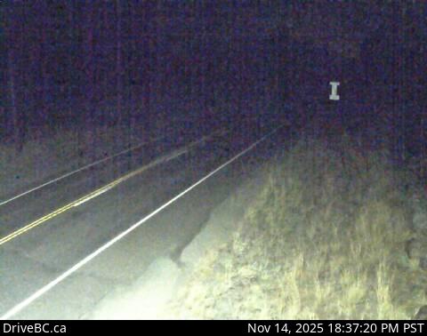
Cranbrook live webcam: what you see
This live webcam watches traffic on Highway 3, Moyie Lake in Cranbrook. It is run by BC Ministry of Transportation and Transit (DriveBC), an official source. It is a still image, not video: a new photo arrives about every 5 minutes straight from DriveBC. It faces north. DriveBC's own caption: "Highway 3 near the south end of Moyie Lake, looking north." Use it to check traffic and road conditions before you set off.
Camera details
- Camera ID
- 631
- Operator
- DriveBC
- Elevation
- 968 m / 3,176 ft
- Camera faces
- North (0°)
- Image updates
- Every 5 min
- Video format
- Still image (JPEG)
- Position
- Exact (from the provider)
- Licence
- Open Government Licence – British Columbia
- Data source
- DriveBC highway cameras (British Columbia)
- Working, last 7 days
- 100 % of checks
From the provider's own camera list and our automatic checks. Readings and details can change without notice.
About Cranbrook
Cranbrook is a town in Canada with about 20,000 people. The camera is about 21 km from the center, 968 m (3,176 ft) above sea level. Cranbrook keeps America/Edmonton time (UTC−6 at the moment); the panel above shows the local time live.
Cranbrook is the largest city in the East Kootenay region of southeastern British Columbia, with about 20,500 residents at the 2021 census. It lies in the broad Rocky Mountain Trench, with the Purcell Mountains to the west and the Rockies to the east, close to both the Alberta line and the US border. The Ktunaxa people have lived in this valley for thousands of years, and the community of ʔaq̓am…
On the map
Live cameras near Cranbrook
 WorkingStill imageHighway 3, Irishman, looking north
 WorkingStill imageHighway 3, Irishman, looking south
 WorkingStill imageHighway 3, Cranbrook
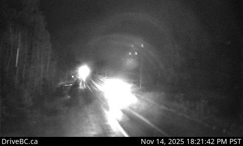 WorkingStill imageHighway 3, Steamboat- NW
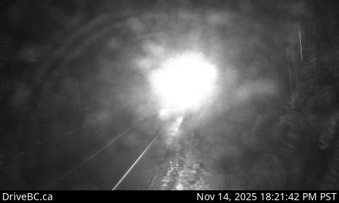 WorkingStill imageHighway 3, Steamboat, looking southeast
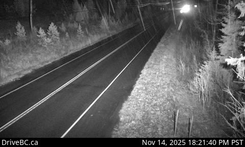 WorkingStill imageHighway 3, Goatfell, looking east
Also nearby: Highway 3, Irishman, looking north (21 km), Highway 3, Irishman, looking south (21 km) and Highway 3, Cranbrook (22 km).
All Cranbrook live cameras · Camera radar centered here · More from DriveBC
More from Cranbrook
Questions about Highway 3, Moyie Lake
Is the Highway 3, Moyie Lake camera live right now?
Yes, it is working: at our last automatic check it was sending new pictures. It is a still image, not video: a new photo arrives about every 5 minutes straight from DriveBC.
How often does the picture update?
About every 5 minutes, on DriveBC's schedule. The image on this page refreshes by itself while the tab is open.
Where does this camera come from?
BC Ministry of Transportation and Transit (DriveBC) runs this camera. It is an official source. Its images are shared under the Open Government Licence – British Columbia. LiveLocation shows them straight from the source with credit. About DriveBC Watch at the source
Where exactly is this camera?
It is about 21 km from the center of Cranbrook, Canada. It watches Highway 3. It stands about 968 m (3,176 ft) above sea level. Coordinates: 49.319, -115.828. All cameras in Cranbrook
What is the local time at Cranbrook?
Cranbrook is in the America/Edmonton time zone. The "Right now" panel above shows the local time live. On October 7 the sun rises at 7:52 AM and sets at 7:09 PM there.
Are there more live cameras near Cranbrook?
Yes: 3 other cameras are within 25 km of this one. The live camera radar shows them all on a map, nearest first. Open the radar here
Is this a speed camera?
No. It is a traffic-monitoring camera that the BC Ministry of Transportation and Transit (DriveBC) uses to watch traffic, weather and road conditions; LiveLocation does not show enforcement cameras. To report a problem on the road, contact the BC Ministry of Transportation and Transit (DriveBC); if the camera itself is broken here, tell us. Road agency website Report this camera