Furano live webcam – Tokachidake volcano camera, southeast of the refuge hut
Not checked yet Still image · every 2 min Volcano · Official source · What camera types mean
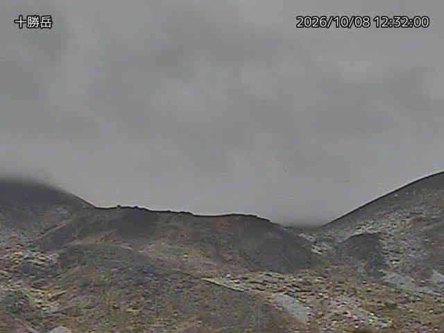
Furano live webcam: what you see
This live webcam shows Tokachidake volcano camera, southeast of the refuge hut (volcano) in Furano. Japan Meteorological Agency (気象庁) operates it for the Japan Meteorological Agency (JMA), an official source. It is a still image, not video: a new photo arrives about every 2 minutes straight from Japan Meteorological Agency (気象庁). Japan Meteorological Agency (気象庁)'s own caption: "Japan Meteorological Agency monitoring camera on Tokachidake (camera site: southeast of the refuge hut, 十勝岳 避難小屋南東). A new image about every 2 minutes; dark at night unless the volcano glows."
Camera details
- Camera ID
- 10802
- Operator
- Japan Meteorological Agency (気象庁)
- Volcano
- Tokachidake
- Observatory
- Japan Meteorological Agency
- Camera site
- southeast of the refuge hut
- Site (local name)
- 十勝岳 避難小屋南東
- Image updates
- Every 2 min
- Video format
- Still image (JPEG)
- Position
- Exact (from the provider)
- Licence
- Public Data License (Japan) 1.0
- Data source
- JMA volcano monitoring cameras (Japan)
- Working, last 7 days
- Not enough checks yet
From the provider's own camera list and our automatic checks. Readings and details can change without notice.
Where this Furano live webcam is
Furano is a town in Japan with about 21,000 people. The camera is about 25 km from the center. The nearest bigger place is Kitahiroshima, 78 km away. Furano keeps Asia/Tokyo time (UTC+9 at the moment); the panel above shows the local time live.
On the map
Live cameras near Furano
 WorkingStill imageTokachidake volcano camera, Shirogane model farm
 WorkingStill imageTaisetsuzan volcano camera, Lake Chubetsu east
 Not checked yetStill imageTaisetsuzan volcano camera, Asahidake Sugatami 2
Also nearby: Tokachidake volcano camera, Shirogane model farm (7.3 km), Taisetsuzan volcano camera, Lake Chubetsu east (21 km) and Taisetsuzan volcano camera, Asahidake Sugatami 2 (28 km).
All Furano live cameras · Camera radar centered here · More from Japan Meteorological Agency
Questions about Tokachidake volcano camera, southeast of the refuge hut
Is Tokachidake volcano camera, southeast of the refuge hut working right now?
We have not checked it ourselves yet; it is listed as working by Japan Meteorological Agency (気象庁). It is a still image, not video: a new photo arrives about every 2 minutes straight from Japan Meteorological Agency (気象庁).
How often does the picture update?
About every 2 minutes, on Japan Meteorological Agency (気象庁)'s schedule. The image on this page refreshes by itself while the tab is open.
Where does this camera come from?
Japan Meteorological Agency (気象庁) runs this camera, as part of the Japan Meteorological Agency (JMA). It is an official source. Its images are shared under the Public Data License (Japan) 1.0. LiveLocation shows them straight from the source with credit. About Japan Meteorological Agency Watch at the source
Where exactly is this camera?
It is about 25 km from the center of Furano, Japan. Coordinates: 43.433, 142.668. All cameras in Furano
Is it day or night there now?
Furano is in the Asia/Tokyo time zone. The "Right now" panel above shows the local time live. On October 8 the sun rises at 5:34 AM and sets at 4:59 PM there.
Are there more live cameras near Furano?
Yes: 2 other cameras are within 25 km of this one. The live camera radar shows them all on a map, nearest first. Open the radar here
Is this volcano erupting, and where is the official alert level?
The Japan Meteorological Agency sets Japan's Volcanic Alert Levels (1 to 5) and issues the official warnings, not LiveLocation. Check its latest bulletin for this volcano before any trip. Official camera page