Live cameras in Fort St. John, Canada
17 cameras: 0 live video, 17 still images · 17 working now · updated Oct 8, 03:31 UTC
Fort St. John has 17 live cameras on LiveLocation right now: 0 live video, 17 still images. Good places to start: Highway 97, Fort St. John, looking southeast, Highway 97, Fort St. John, looking north, Highway 97, Fort St. John, looking northwest. Local time is 8:31 PM (America/Dawson Creek). Today the sun rises at 7:19 AM and sets at 6:22 PM.
Fort St. John live cameras
Every Fort St. John live camera we know of: 0 live video, 17 still images. 17 were working at the last check. Fort St. John is home to about 21,000 people.
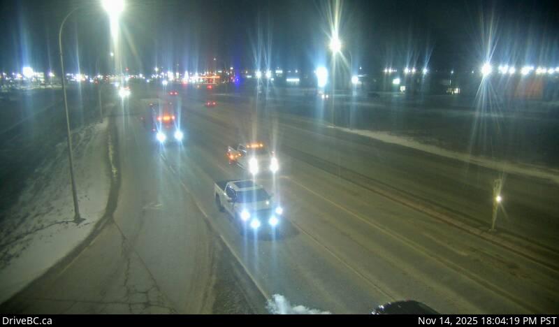 WorkingStill imageHighway 97, Fort St. John, looking southeast
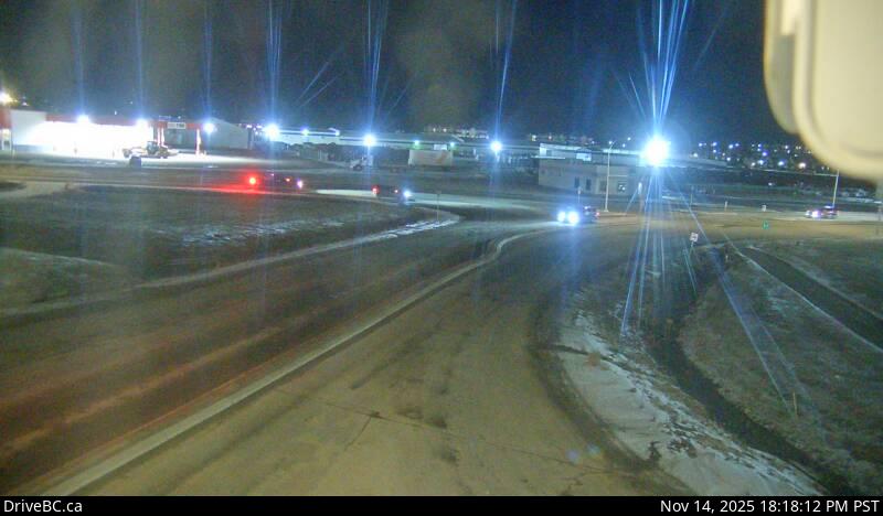 WorkingStill imageHighway 97, Fort St. John, looking north
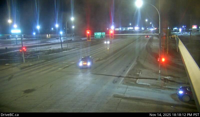 WorkingStill imageHighway 97, Fort St. John, looking northwest
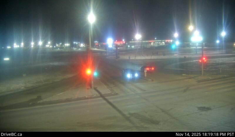 WorkingStill imageHighway 97, Fort St. John, looking south
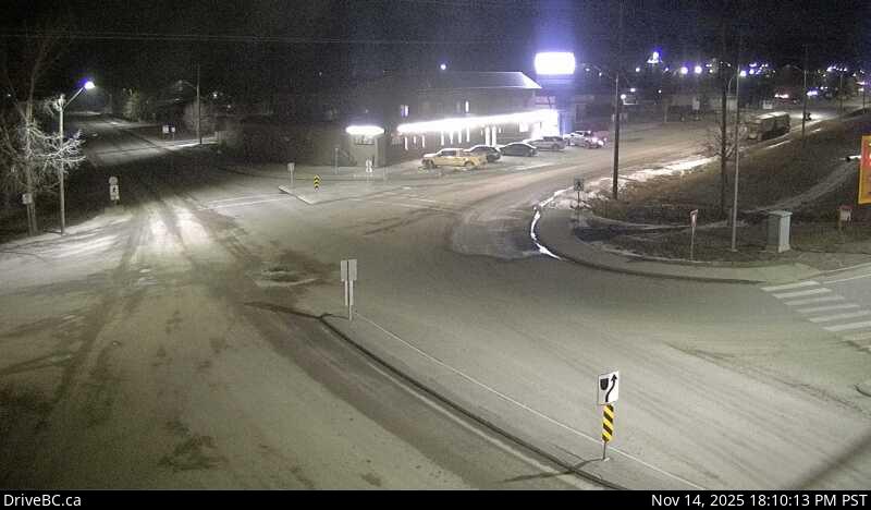 WorkingStill imageHighway 97, Taylor, looking west
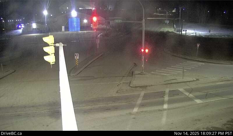 WorkingStill imageHighway 97, Taylor, looking east
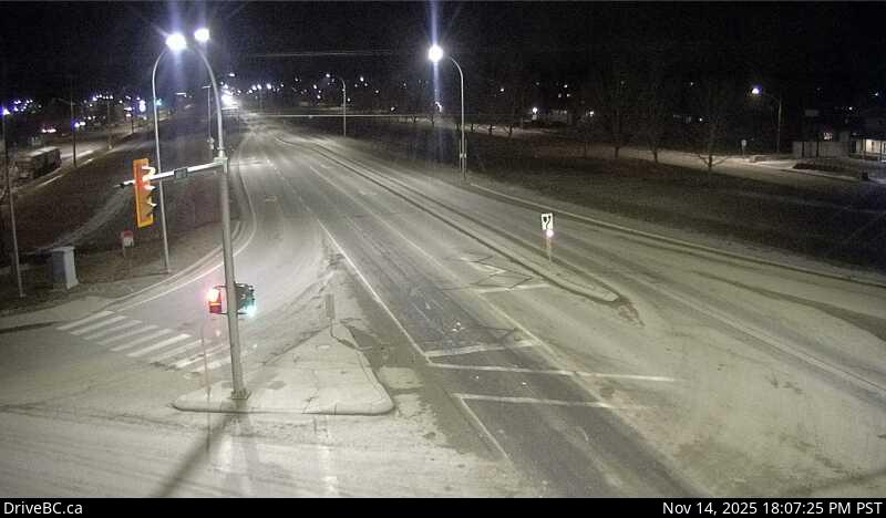 WorkingStill imageHighway 97, Taylor, looking north
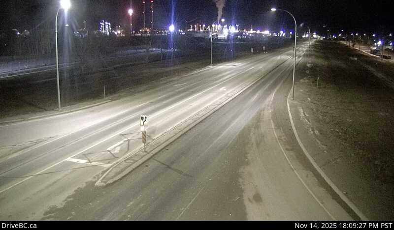 WorkingStill imageHighway 97, Taylor, looking south
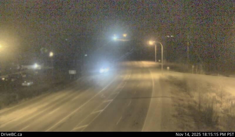 WorkingStill imageHighway 97, Big Bam Road
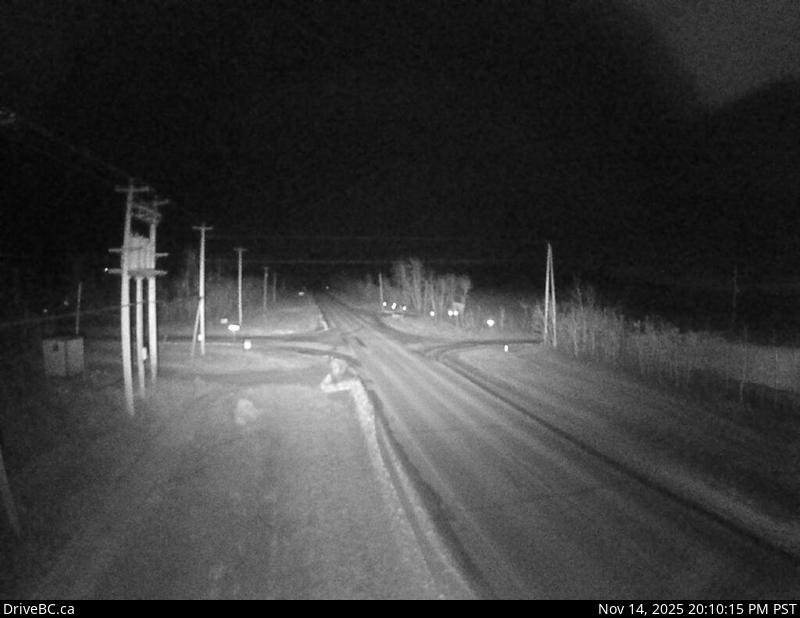 WorkingStill imageCecil Lake Rd, Cecil Lake Road
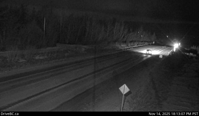 WorkingStill imageHighway 97, South Taylor Hill, looking north
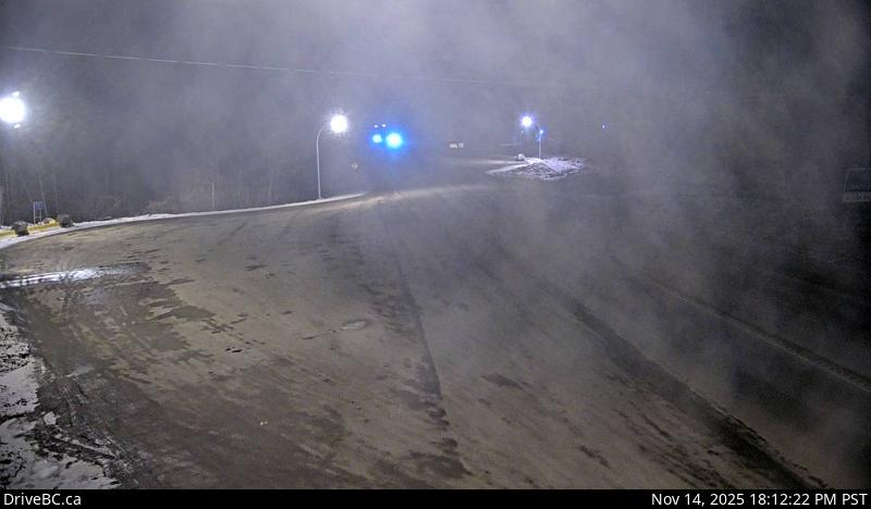 WorkingStill imageHighway 97, South Taylor Hill, looking south
 WorkingStill imageHighway 29, Peace View Rest Area, looking southwest
 WorkingStill imageHighway 29, Peace View Rest Area, looking northeast
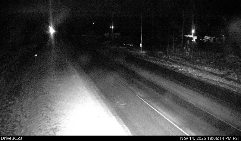 WorkingStill imageHighway 97, Mile 73, looking south
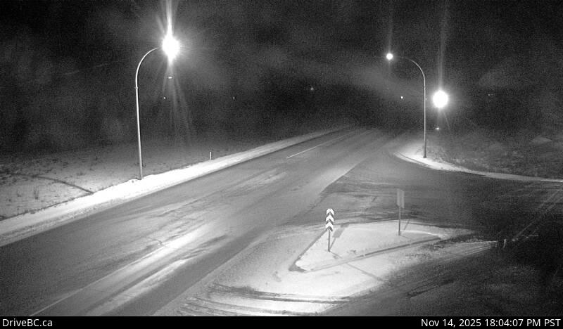 WorkingStill imageHighway 97, Mile 73, looking north
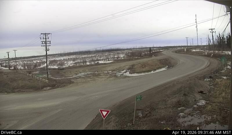 WorkingStill imageHighway 97, Mile 73, looking east
No live video among these cameras. Turn off "Live video only" to see them all.
Best cams to watch
- Highway 97, Fort St. John, looking southeast — Still image · every 18 min, working 100 % of the time in the last 30 days.
- Highway 97, Fort St. John, looking north — Still image · every 18 min, working 100 % of the time in the last 30 days.
- Highway 97, Fort St. John, looking northwest — Still image · every 18 min, working 100 % of the time in the last 30 days.
Fort St. John is the main city of the Peace River country in northeastern British Columbia, with about 21,000 residents at the 2021 census. It stands at Mile 47 of the Alaska Highway, a short drive north of Dawson Creek's Mile 0, and claims to be the oldest European-founded settlement in the province: North West Company traders built a post near here in 1794. Oil and gas, farming on the broad plateau and forestry drive the local economy. Southwest of town, BC Hydro's Site C dam on the Peace River brought all six of its generating units into service in August 2025, and in 2026 it was formally named the John Horgan Dam and Generating Station.
The cameras on this page are DriveBC road views around the city. Highway 97, the Alaska Highway, runs straight through Fort St. John and carries heavy truck traffic serving the energy fields to the north. Drivers in the region use these pictures to look for blowing snow, ice fog and slick surfaces before setting out. They are still images that refresh on a short cycle, not a live feed.
Fort St. John sits in a time-zone quirk. Like the rest of the Peace region, it has stayed on Mountain Standard Time all year for decades. Since the rest of the province moved to permanent UTC minus seven in 2026, clocks here now match Vancouver every day of the year. Daylight swings widely at this latitude: in late December the sun is up only about seven hours, while June sunsets come after ten in the evening. Winter cold can be severe, so frosted lenses on very cold mornings are part of the experience.
Charlie Lake, just north of town, is a popular summer spot, and the Peace River valley below the city offers wide views over the farmland.
Sources: Fort St. John, British Columbia - Wikipedia · Site C project comes into full operation - BC Hydro · B.C.'s new time zone (Pacific time) - Province of British Columbia.
Nearby places
- Prince George (16)
Questions about Fort St. John
How many cameras does LiveLocation have in Fort St. John?
LiveLocation lists 17 cameras in and around Fort St. John, Canada: 0 live video, 17 still images. 17 of them were live or showing a fresh image at the last check.
Where do the Fort St. John cameras come from?
All of them come from DriveBC (17). Each camera plays straight from the agency or owner that runs it, with credit. DriveBC
What kinds of views are there in Fort St. John?
All of them show traffic and highway (17). Good ones to start with: Highway 97, Fort St. John, looking southeast and Highway 97, Fort St. John, looking north. Highway 97, Fort St. John, looking southeast Highway 97, Fort St. John, looking north
Is there live video from Fort St. John?
Not yet: the cameras here send still images that refresh about every 15 minutes. The map can show only live-video cameras nearby. Live video on the map
When is the best time to watch the Fort St. John cameras?
Fort St. John is on America/Dawson Creek time. On October 7 the sun rises at 7:19 AM and sets at 6:22 PM, so still images are clearest between those times. Road cameras show the most traffic in the weekday morning and evening rush hours.
Is there a map of the cameras in Fort St. John?
The map at the top of this page shows all 17 of them. The live camera radar centers on Fort St. John and lists every camera within 5 to 250 km, nearest first, with filters for live video, traffic, nature and more. Open the radar on Fort St. John
Place names and locations: GeoNames, licensed under CC BY 4.0.