Live cameras in Prince George, Canada
17 cameras: 0 live video, 17 still images · 16 working now · updated Oct 8, 03:31 UTC
Prince George has 17 live cameras on LiveLocation right now: 0 live video, 17 still images. Good places to start: Highway 97, Prince George southbound, Highway 97, Prince George northbound, Highway 97, Prince George westbound. Local time is 8:31 PM (America/Vancouver). Today the sun rises at 7:24 AM and sets at 6:32 PM.
Prince George live cameras
Prince George live cameras, all in one place: 0 live video, 17 still images. 16 were working at the last check. Prince George is home to about 79,000 people.
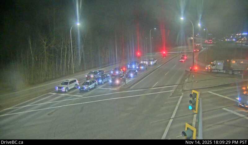 WorkingStill imageHighway 97, Prince George southbound
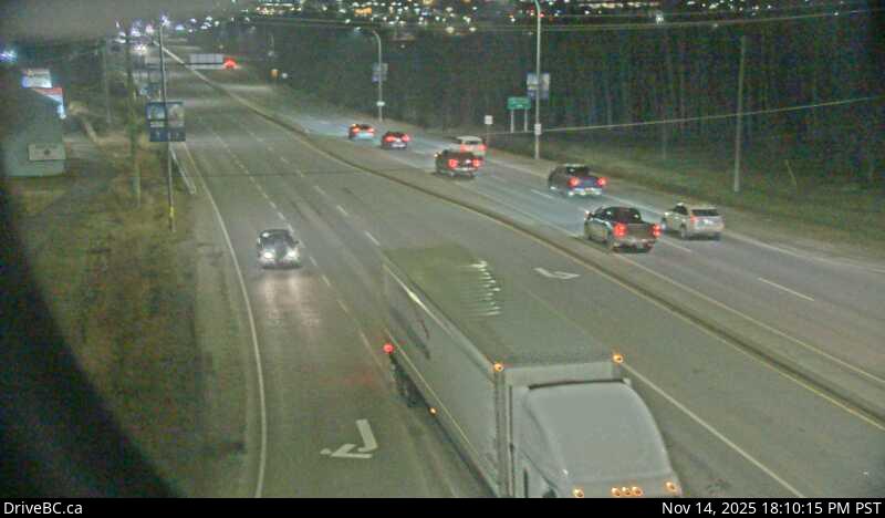 WorkingStill imageHighway 97, Prince George northbound
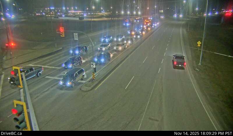 WorkingStill imageHighway 97, Prince George westbound
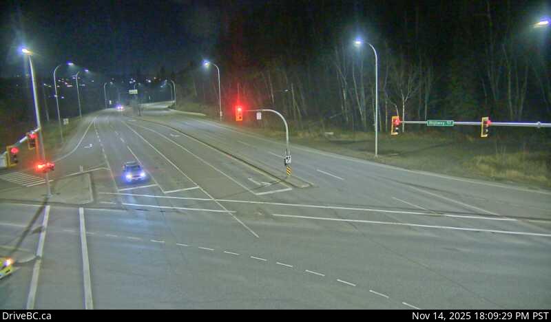 WorkingStill imageHighway 97, Prince George eastbound
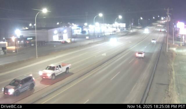 WorkingStill imageHighway 16, Peden Hill at Vance Road
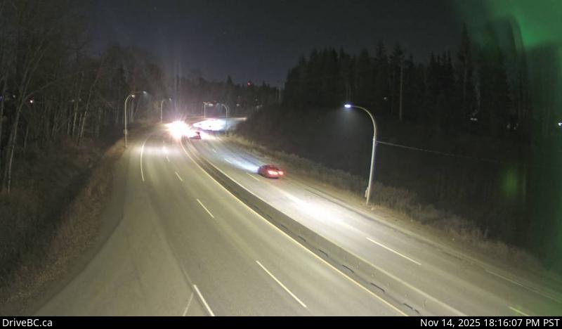 WorkingStill imageHighway 16, Peden Hill at Davis Road
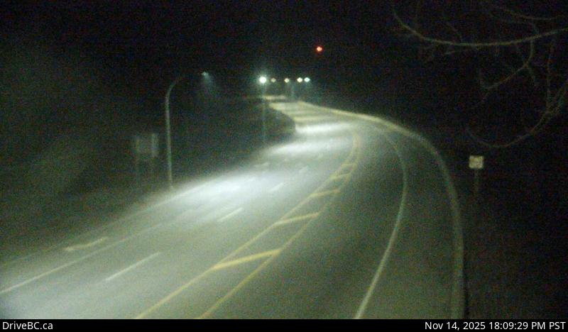 WorkingStill imageHighway 97, Salmon Valley Road, looking south
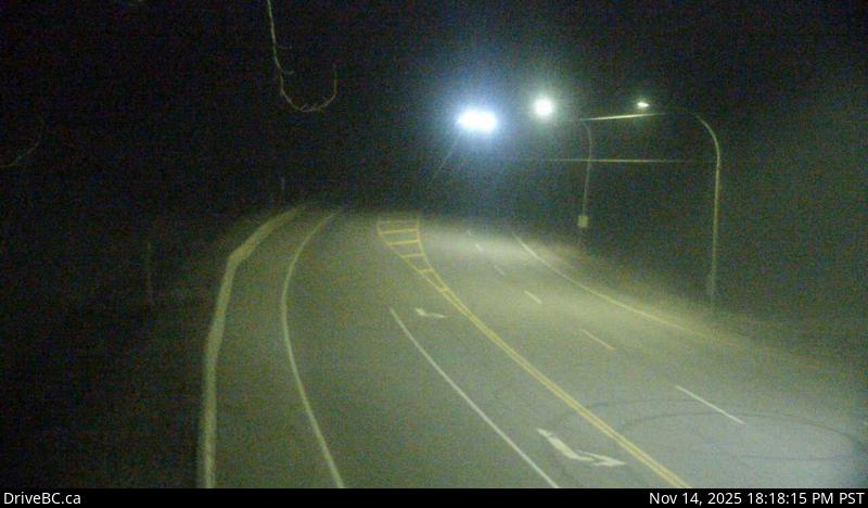 WorkingStill imageHighway 97, Salmon Valley Road, looking north
 WorkingStill imageHighway 97, Salmon Valley Road, looking east
 WorkingStill imageHighway 97, Chamulak Road
 WorkingStill imageHighway 97, Summit Lake Road, looking west
 WorkingStill imageHighway 97, Summit Lake Road, looking south
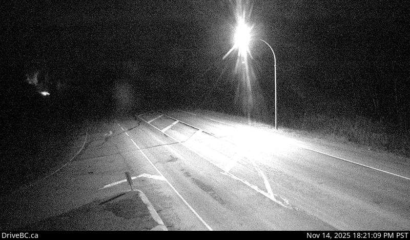 WorkingStill imageHighway 97, Summit Lake Road, looking north
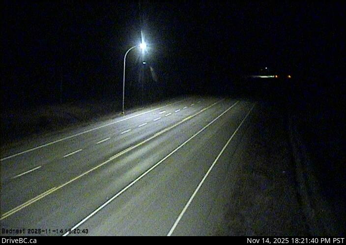 WorkingStill imageHighway 16, Bednesti Lake, looking east
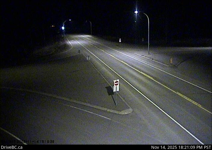 WorkingStill imageHighway 16, Bednesti Lake, looking west
 WorkingStill imageHighway 16, Bowron River
 OfflineStill imageHighway 16, Tamarack
No live video among these cameras. Turn off "Live video only" to see them all.
Best cams to watch
- Highway 97, Prince George southbound — Still image · every 15 min, working 100 % of the time in the last 30 days.
- Highway 97, Prince George northbound — Still image · every 15 min, working 100 % of the time in the last 30 days.
- Highway 97, Prince George westbound — Still image · every 15 min, working 100 % of the time in the last 30 days.
Prince George is the largest city in northern British Columbia, often called the province's northern capital. It grew up where the Nechako River flows into the Fraser, a meeting point long known to the Lheidli T'enneh, whose name means the people of the confluence of the two rivers. The 2021 census counted about 77,000 people in the city and close to 90,000 in the wider area. Forestry and pulp mills built the modern economy, and the University of Northern British Columbia looks down on the city from its hilltop campus. Lheidli T'enneh Memorial Park and Cottonwood Island Park line the riverbanks, and the clay cutbanks along the Nechako are a familiar landmark.
The DriveBC cameras on this page watch the two highways that cross here. Highway 16, the Yellowhead, runs west toward Prince Rupert and east toward McBride and Jasper, and Highway 97 links the city south to Quesnel and north to Mackenzie and the Peace country. A few views come from pavement-sensor weather stations on exposed stretches outside town, where the surface can turn icy while the city streets are fine. Each one uploads a new still image every few minutes.
Winter light and timing
Prince George follows British Columbia's new permanent Pacific time, UTC minus seven, adopted in 2026. At this latitude that makes for very late winter mornings: around the solstice the sun rises at about half past nine and sets before five. In June, by contrast, the sun stays up until after half past nine at night. Cold is the other headline. The record low is minus 50 °C, set in January 1950, and around two meters of snow falls in a typical winter, so most people check these views on stormy mornings before driving the highways. Summer brings clear roads and long evenings, along with occasional wildfire smoke.
The city hosted the 2015 Canada Winter Games, and its Coldsnap music festival brightens the darkest weeks of the year. Quesnel lies about an hour and a half south on Highway 97.
Sources: Prince George, British Columbia - Wikipedia · Time in British Columbia - Wikipedia · DriveBC.
Nearby places
- Fort St. John (17)
Questions about Prince George
How many cameras does LiveLocation have in Prince George?
LiveLocation lists 17 cameras in and around Prince George, Canada: 0 live video, 17 still images. 16 of them were live or showing a fresh image at the last check.
Where do the Prince George cameras come from?
All of them come from DriveBC (17). Each camera plays straight from the agency or owner that runs it, with credit. DriveBC
What kinds of views are there in Prince George?
The views are traffic and highway (14) and pass and road weather (3). Good ones to start with: Highway 97, Prince George southbound and Highway 97, Prince George northbound. Highway 97, Prince George southbound Highway 97, Prince George northbound
Is there live video from Prince George?
Not yet: the cameras here send still images that refresh about every 13 minutes. The map can show only live-video cameras nearby. Live video on the map
When is the best time to watch the Prince George cameras?
Prince George is on America/Vancouver time. On October 7 the sun rises at 7:24 AM and sets at 6:32 PM, so still images are clearest between those times. Road cameras show the most traffic in the weekday morning and evening rush hours.
Is there a map of the cameras in Prince George?
The map at the top of this page shows all 17 of them. The live camera radar centers on Prince George and lists every camera within 5 to 250 km, nearest first, with filters for live video, traffic, nature and more. Open the radar on Prince George
Place names and locations: GeoNames, licensed under CC BY 4.0.