Live cameras in Fanling, Hong Kong
200 cameras: 0 live video, 200 still images · 200 working now · updated Oct 8, 03:40 UTC
Fanling has 200 live cameras on LiveLocation right now: 0 live video, 200 still images. Good places to start: Fanling Highway near Fanling Recreation Ground - Eastbound, Hong Kong, Ting Kok Road near Chung Nga Road - Eastbound, Hong Kong, San Sham Road Roundabout, Hong Kong. Local time is 11:40 AM (Asia/Hong Kong). Today the sun rises at 6:17 AM and sets at 6:04 PM.
Fanling live cameras
Watch Fanling live webcams: 0 live video, 200 still images. 200 were working at the last check. Fanling is home to about 263,000 people.
Weather now in Fanling: 28 °C (82 °F), partly cloudy, wind 14 km/h (9 mph) from the east. Forecast for 12 PM local time. Weather: MET Norway (CC BY 4.0)
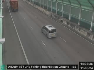 WorkingStill imageFanling Highway near Fanling Recreation Ground - Eastbound, Hong Kong
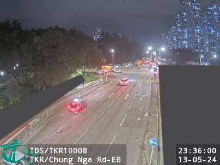 WorkingStill imageTing Kok Road near Chung Nga Road - Eastbound, Hong Kong
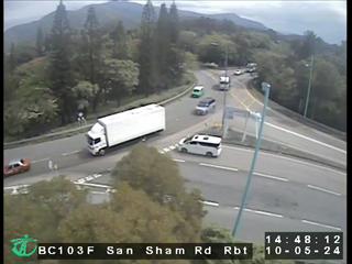 WorkingStill imageSan Sham Road Roundabout, Hong Kong
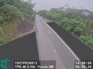 WorkingStill imageTai Po Road - Ma Liu Shui near De Yucca - Northbound, Hong Kong
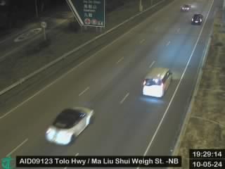 WorkingStill imageTolo Highway near Ma Liu Shui Weigh Station - Northbound, Hong Kong
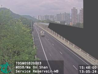 WorkingStill imageMa On Shan Bypass near Ma On Shan Service Reservoir - Westbound, Hong Kong
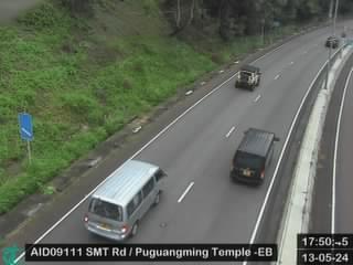 WorkingStill imageShing Mun Tunnel Road near Puguangming Temple - Eastbound, Hong Kong
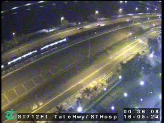 WorkingStill imageTate's Cairn Highway near Shatin Hospital, Hong Kong
 WorkingStill imageShing Mun Tunnel Shatin Side, Hong Kong
 WorkingStill imageFo Tan Road, Hong Kong
 WorkingStill imageCheung Pei Shan Road near Mei Wan Street, Hong Kong
 WorkingStill imageCheung Pei Shan Road near Discovery Park - Westbound, Hong Kong
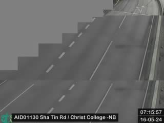 WorkingStill imageSha Tin Road near Christ College - Northbound, Hong Kong
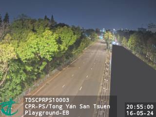 WorkingStill imageCastle Peak Rd-Ping Shan near Tong Yan San Tsuen Playground - Eastbound, Hong Kong
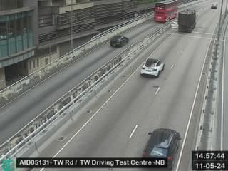 WorkingStill imageTsuen Wan Road near Tsuen Wan Driving Test Centre - Northbound, Hong Kong
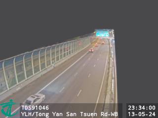 WorkingStill imageYuen Long Highway near Tong Yan San Tsuen Road - Westbound, Hong Kong
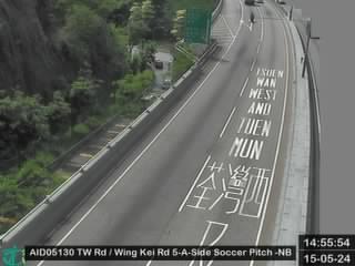 WorkingStill imageTsuen Wan Road near Wing Kei Road 5-A-Side Soccer Pitch - Northbound, Hong Kong
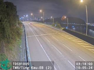 WorkingStill imageTuen Mun Road near Ting Kau - Eastbound (2), Hong Kong
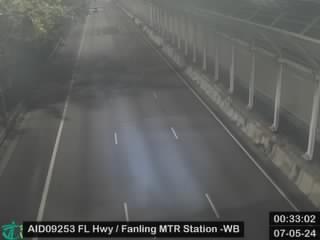 WorkingStill imageFanling Highway near Fanling Station - Westbound, Hong Kong
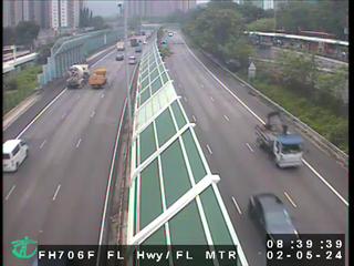 WorkingStill imageFanling Highway near MTR Fanling Station, Hong Kong
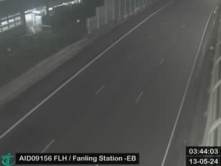 WorkingStill imageFanling Highway near Fanling Station - Eastbound, Hong Kong
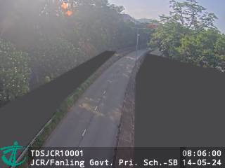 WorkingStill imageJockey Club Road near Fanling Government Primary School - Southbound, Hong Kong
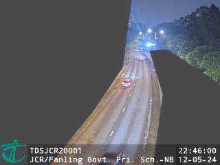 WorkingStill imageJockey Club Road near Fanling Government Primary School - Northbound, Hong Kong
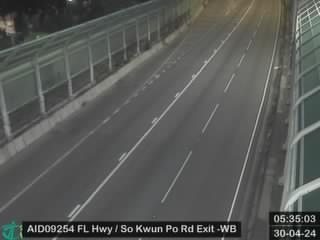 WorkingStill imageFanling Highway near Exit to So Kwun Po Road - Westbound, Hong Kong
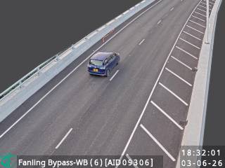 WorkingStill imageFanling Bypass - Westbound (6), Hong Kong
 WorkingStill imageFanling Bypass - Eastbound (4), Hong Kong
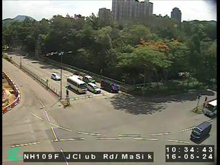 WorkingStill imageJockey Club Road near Ma Sik Road, Hong Kong
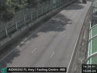 WorkingStill imageFanling Highway near Fanling Centre - Westbound, Hong Kong
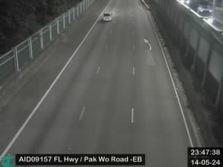 WorkingStill imageFanling Highway near Avon Park - Eastbound, Hong Kong
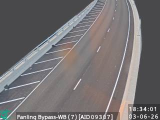 WorkingStill imageFanling Bypass - Westbound (7), Hong Kong
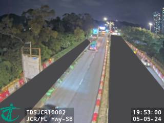 WorkingStill imageJockey Club Road near Fanling Highway - Southbound, Hong Kong
 WorkingStill imageFanling Bypass - Westbound (5), Hong Kong
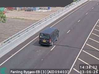 WorkingStill imageFanling Bypass - Eastbound (3), Hong Kong
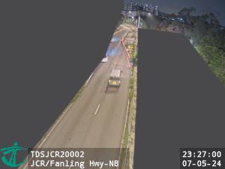 WorkingStill imageJockey Club Road near Fanling Highway - Northbound, Hong Kong
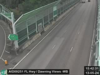 WorkingStill imageFanling Highway near Dawning Views - Westbound, Hong Kong
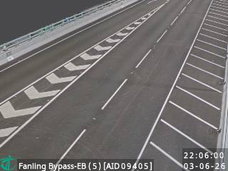 WorkingStill imageFanling Bypass - Eastbound (5), Hong Kong
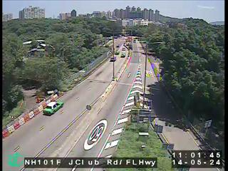 WorkingStill imageJockey Club Road near Fanling Highway, Hong Kong
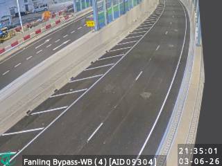 WorkingStill imageFanling Bypass - Westbound (4), Hong Kong
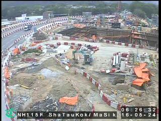 WorkingStill imageSha Tau Kok Road near Ma Sik Road, Hong Kong
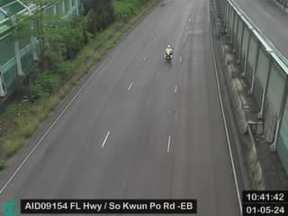 WorkingStill imageFanling Highway near So Kwun Po Road - Eastbound, Hong Kong
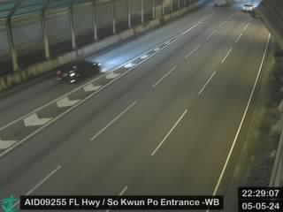 WorkingStill imageFanling Highway near Entrance from So Kwun Po Road - Westbound, Hong Kong
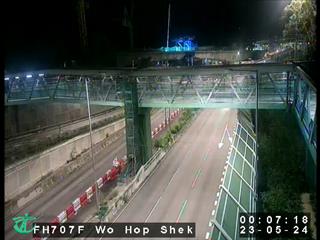 WorkingStill imageFL Hwy-Wo Hop Shek ITC, Hong Kong
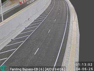 WorkingStill imageFanling Bypass - Eastbound (6), Hong Kong
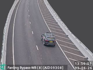 WorkingStill imageFanling Bypass - Westbound (8), Hong Kong
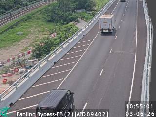 WorkingStill imageFanling Bypass - Eastbound (2), Hong Kong
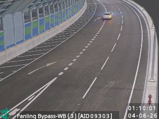 WorkingStill imageFanling Bypass - Westbound (3), Hong Kong
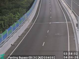 WorkingStill imageFanling Bypass - Eastbound (9), Hong Kong
 WorkingStill imageFanling Highway near Pak Wo Road, Hong Kong
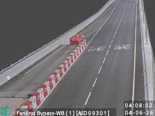 WorkingStill imageFanling Bypass - Westbound (1), Hong Kong
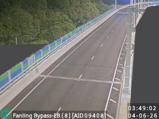 WorkingStill imageFanling Bypass - Eastbound (8), Hong Kong
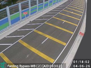 WorkingStill imageFanling Bypass - Westbound (2), Hong Kong
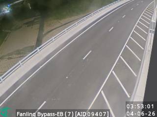 WorkingStill imageFanling Bypass - Eastbound (7), Hong Kong
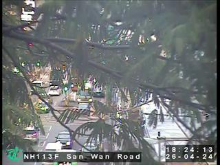 WorkingStill imageSan Wan Road near Lung Sum Avenue, Hong Kong
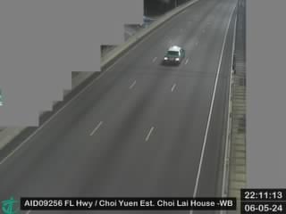 WorkingStill imageFanling Highway near Choi Yuen Estate Choi Lai House - Westbound, Hong Kong
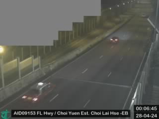 WorkingStill imageFanling Highway near Choi Yuen Estate Choi Lai House - Eastbound, Hong Kong
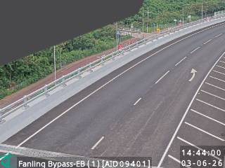 WorkingStill imageFanling Bypass - Eastbound (1), Hong Kong
 WorkingStill imageFanling Highway near Sheung Shui Roundabout, Hong Kong
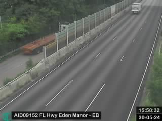 WorkingStill imageFanling Highway near Eden Manor - Eastbound, Hong Kong
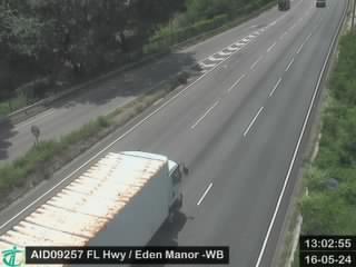 WorkingStill imageFanling Highway near Eden Manor - Westbound, Hong Kong
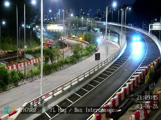 WorkingStill imageFL Hwy-Bus Interchange, Hong Kong
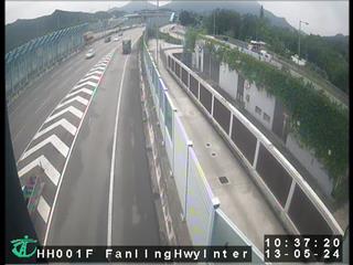 WorkingStill imageHeung Yuen Wai Highway near Fanling Highway Interchange, Hong Kong
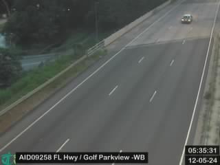 WorkingStill imageFanling Highway near Golf Parkview - Westbound, Hong Kong
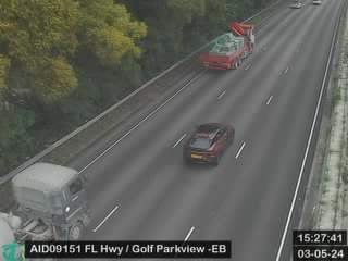 WorkingStill imageFanling Highway near Golf Parkview - Eastbound, Hong Kong
 WorkingStill imageFanling Highway near Kwu Tung - Westbound (4), Hong Kong
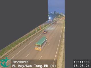 WorkingStill imageFanling Highway near Kwu Tung - Eastbound (4), Hong Kong
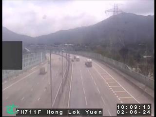 WorkingStill imageFanling Highway near Hong Lok Yuen, Hong Kong
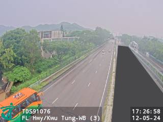 WorkingStill imageFanling Highway near Kwu Tung - Westbound (3), Hong Kong
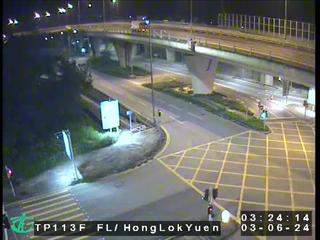 WorkingStill imageFanling Highway near Hong Lok Yuen Road, Hong Kong
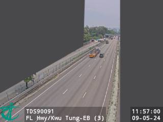 WorkingStill imageFanling Highway near Kwu Tung - Eastbound (3), Hong Kong
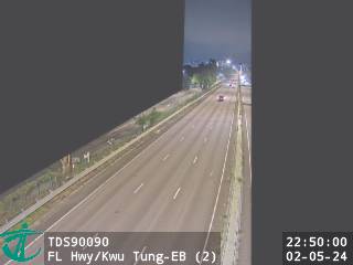 WorkingStill imageFanling Highway near Kwu Tung - Eastbound (2), Hong Kong
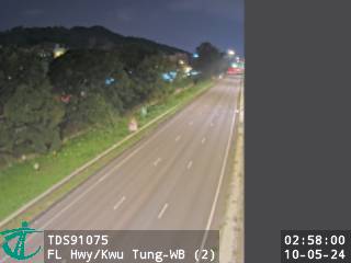 WorkingStill imageFanling Highway near Kwu Tung - Westbound (2), Hong Kong
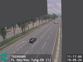 WorkingStill imageFanling Highway near Kwu Tung - Eastbound (1), Hong Kong
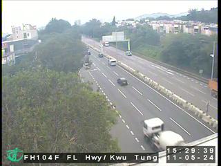 WorkingStill imageFanling Highway near Kwu Tung, Hong Kong
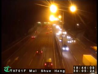 WorkingStill imageTolo Highway near Mui Shue Hang, Hong Kong
 WorkingStill imageFanling Highway near Kwu Tung - Westbound (1), Hong Kong
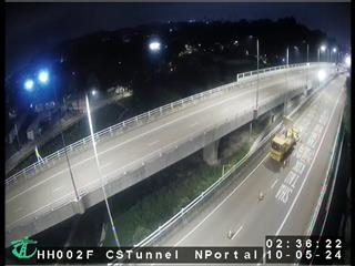 WorkingStill imageHeung Yuen Wai Highway near Cheung Shan Tunnel North Portal, Hong Kong
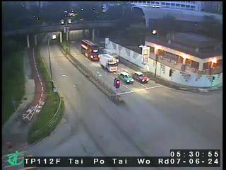 WorkingStill imageTai Po Tai Wo Road near Tai Po Road- Tai Wo, Hong Kong
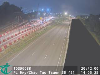 WorkingStill imageFanling Highway near Chau Tau Tsuen - Eastbound (2), Hong Kong
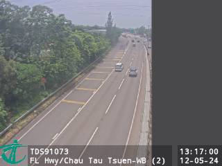 WorkingStill imageFanling Highway near Chau Tau Tsuen - Westbound (2), Hong Kong
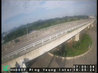 WorkingStill imageHeung Yuen Wai Highway near Ping Yeung Interchange, Hong Kong
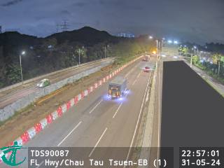 WorkingStill imageFanling Highway near Chau Tau Tsuen - Eastbound (1), Hong Kong
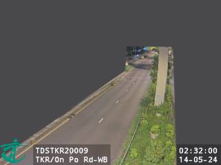 WorkingStill imageTing Kok Road near On Po Road - Westbound, Hong Kong
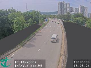 WorkingStill imageTing Kok Road near Yue Kok - Westbound, Hong Kong
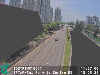 WorkingStill imageTai Po Tai Wo Road near Tai Po Arts Centre - Eastbound, Hong Kong
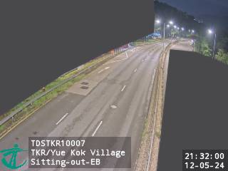 WorkingStill imageTing Kok Road near Yue Kok Village Sitting-out Area - Eastbound, Hong Kong
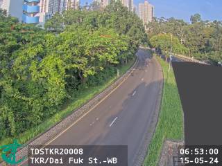 WorkingStill imageTing Kok Road near Dai Fuk Street - Westbound, Hong Kong
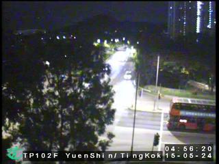 WorkingStill imageYuen Shin Road near Ting Kok Road, Hong Kong
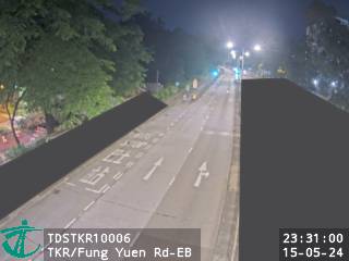 WorkingStill imageTing Kok Road near Fung Yuen Road - Eastbound, Hong Kong
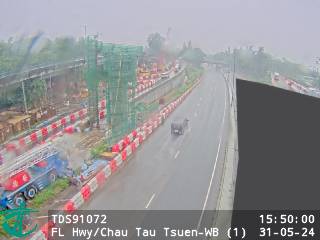 WorkingStill imageFanling Highway near Chau Tau Tsuen - Westbound (1), Hong Kong
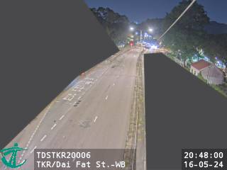 WorkingStill imageTing Kok Road near Dai Fat Street - Westbound, Hong Kong
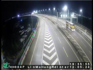 WorkingStill imageHeung Yuen Wai Highway near Lin Ma Hang Road Interchange, Hong Kong
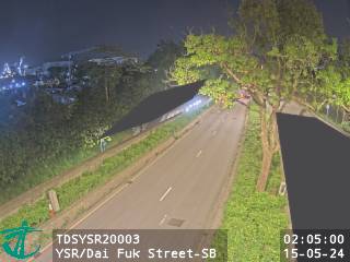 WorkingStill imageYuen Shin Road near Dai Fuk Street - Southbound, Hong Kong
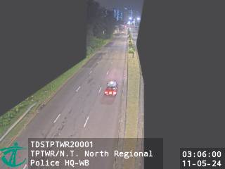 WorkingStill imageTai Po Tai Wo Road near New Territories North Regional Police Headquarters - Westbound, Hong Kong
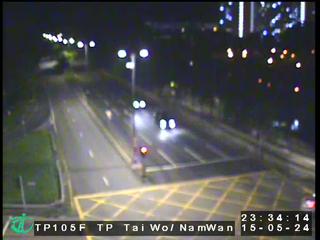 WorkingStill imageTai Po Tai Wo Road near Nam Wan Road, Hong Kong
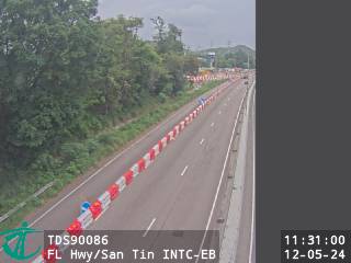 WorkingStill imageFanling Highway near San Tin Interchange - Eastbound, Hong Kong
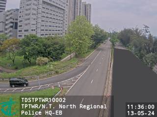 WorkingStill imageTai Po Tai Wo Road near New Territories North Regional Police Headquarters - Eastbound, Hong Kong
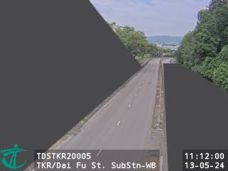 WorkingStill imageTing Kok Road near Dai Fu Street Substation - Westbound, Hong Kong
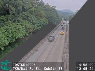 WorkingStill imageTing Kok Road near Dai Fu Street Substation - Eastbound, Hong Kong
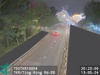 WorkingStill imageTing Kok Road near Ting Hing Road - Eastbound, Hong Kong
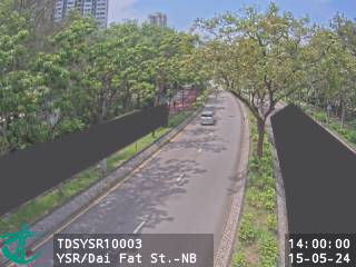 WorkingStill imageYuen Shin Road near Dai Fat Street - Northbound, Hong Kong
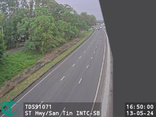 WorkingStill imageSan Tin Highway near San Tin Interchange - Southbound, Hong Kong
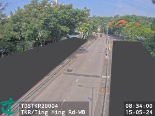 WorkingStill imageTing Kok Road near Ting Hing Road - Westbound, Hong Kong
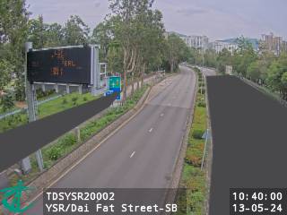 WorkingStill imageYuen Shin Road near Dai Fat Street - Southbound, Hong Kong
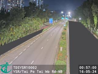 WorkingStill imageYuen Shin Road near Tai Po Tai Wo Road - Northbound, Hong Kong
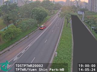 WorkingStill imageTai Po Tai Wo Road near Yuen Shin Park - Westbound, Hong Kong
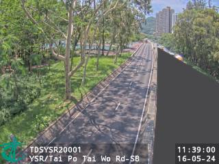 WorkingStill imageYuen Shin Road near Tai Po Tai Wo Road - Southbound, Hong Kong
 WorkingStill imageSan Tin Highway near Man Tin Cheung Park - Northbound, Hong Kong
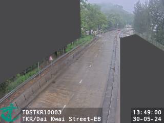 WorkingStill imageTing Kok Road near Dai Kwai Street - Eastbound, Hong Kong
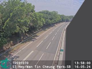 WorkingStill imageSan Tin Highway near Man Tin Cheung Park - Southbound, Hong Kong
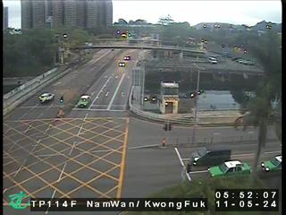 WorkingStill imageNam Wan Road near Kwong Fuk Road, Hong Kong
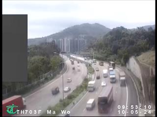 WorkingStill imageTolo Highway near Ma Wo, Hong Kong
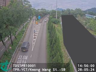 WorkingStill imageTai Po Road - Yuen Chau Tsai near Kwong Wang Street - Souhtbound, Hong Kong
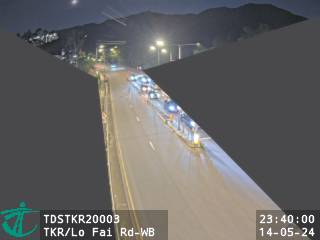 WorkingStill imageTing Kok Road near Lo Fai Road - Westbound, Hong Kong
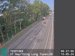 WorkingStill imageSan Tin Highway near Tsing Lung Tsuen - Southbound, Hong Kong
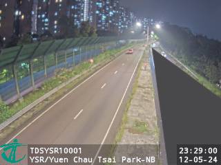 WorkingStill imageYuen Shin Road near Yuen Chau Tsai Park - Northbound, Hong Kong
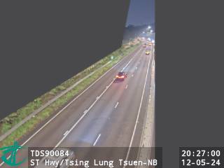 WorkingStill imageSan Tin Highway near Tsing Lung Tsuen - Northbound, Hong Kong
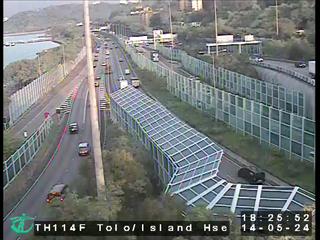 WorkingStill imageTolo Highway near Island House Interchange, Hong Kong
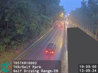 WorkingStill imageTing Kok Road near Golf Park Golf Driving Range - Eastbound, Hong Kong
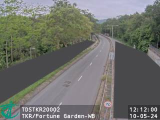 WorkingStill imageTing Kok Road near Fortune Garden - Westbound, Hong Kong
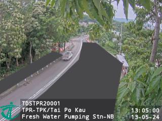 WorkingStill imageTai Po Road - Tai Po Kau near Tai Po Kau Fresh Water Pumping Station - Northbound, Hong Kong
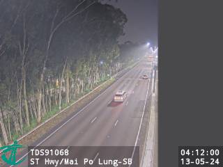 WorkingStill imageSan Tin Highway near Mai Po Lung - Southbound, Hong Kong
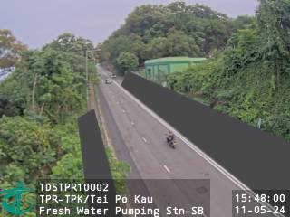 WorkingStill imageTai Po Road - Tai Po Kau near Tai Po Kau Fresh Water Pumping Station - Souhtbound, Hong Kong
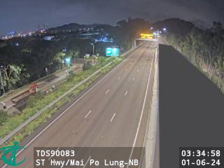 WorkingStill imageSan Tin Highway near Mai Po Lung - Northbound, Hong Kong
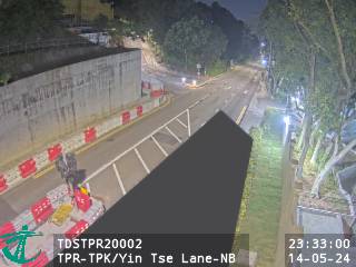 WorkingStill imageTai Po Road - Tai Po Kau near Yin Tse Lane - Northbound, Hong Kong
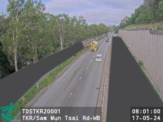 WorkingStill imageTing Kok Road near Sam Mun Tsai Road - Westbound, Hong Kong
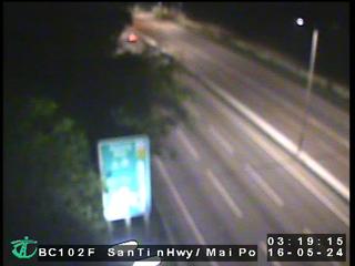 WorkingStill imageSan Tin Highway near Mai Po, Hong Kong
 WorkingStill imageSan Tin Highway near San Tin Soccer Pitch - Northbound, Hong Kong
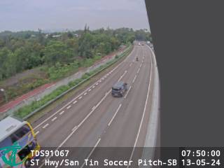 WorkingStill imageSan Tin Highway near San Tin Soccer Pitch - Southbound, Hong Kong
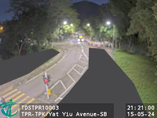 WorkingStill imageTai Po Road - Tai Po Kau near Yat Yiu Avenue - Southbound, Hong Kong
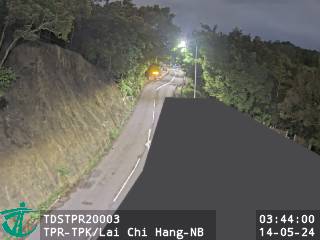 WorkingStill imageTai Po Road - Tai Po Kau near Lai Chi Hang - Northbound, Hong Kong
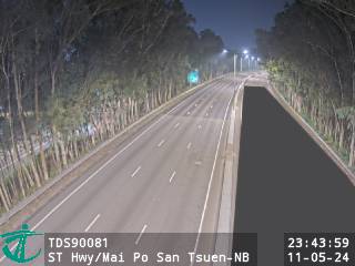 WorkingStill imageSan Tin Highway near Mai Po San Tsuen - Northbound, Hong Kong
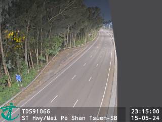 WorkingStill imageSan Tin Highway near Mai Po Shan Tsuen - Southbound, Hong Kong
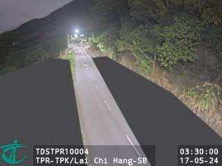 WorkingStill imageTai Po Road - Tai Po Kau near Lai Chi Hang - Southbound, Hong Kong
 WorkingStill imageCastle Peak Road near Mai Po, Hong Kong
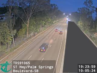 WorkingStill imageSan Tin Highway near Palm Springs Boulevard - Southbound, Hong Kong
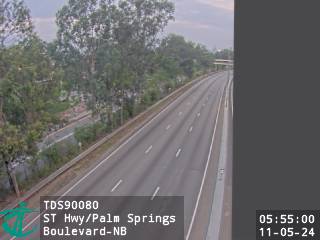 WorkingStill imageSan Tin Highway near Palm Springs Boulevard - Northbound, Hong Kong
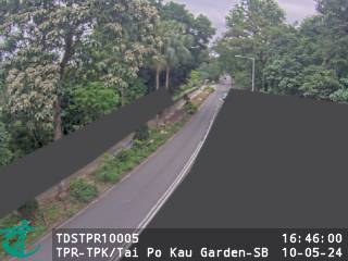 WorkingStill imageTai Po Road - Tai Po Kau near Tai Po Kau Garden - Souhtbound, Hong Kong
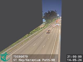 WorkingStill imageSan Tin Highway near Geranium Path - Northbound, Hong Kong
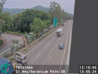 WorkingStill imageSan Tin Highway near Geranium Path - Southbound, Hong Kong
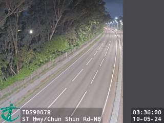 WorkingStill imageSan Tin Highway near Chun Shin Road - Northbound, Hong Kong
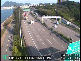 WorkingStill imageTolo Highway near HK Science Park, Hong Kong
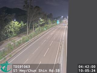 WorkingStill imageSan Tin Highway near Chun Shin Road - Southbound, Hong Kong
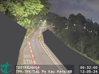 WorkingStill imageTai Po Road - Tai Po Kau near Tai Po Kau Park - Northbound, Hong Kong
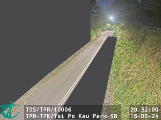 WorkingStill imageTai Po Road - Tai Po Kau near Tai Po Kau Park - Southbound, Hong Kong
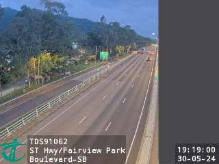 WorkingStill imageSan Tin Highway near Fairview Park Boulevard - Southbound, Hong Kong
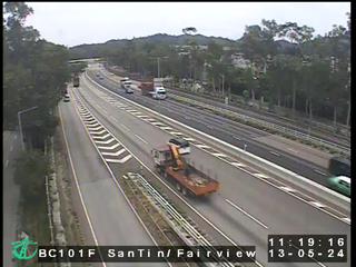 WorkingStill imageSan Tin Highway near Fairview Park, Hong Kong
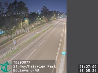 WorkingStill imageSan Tin Highway near Fairview Park Boulevard - Northbound, Hong Kong
 WorkingStill imageTai Po Road - Tai Po Kau near Japanese International School - Northbound, Hong Kong
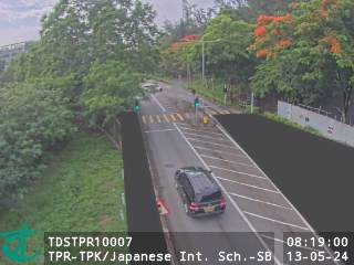 WorkingStill imageTai Po Road - Tai Po Kau near Japanese International School - Southbound, Hong Kong
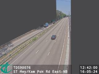 WorkingStill imageSan Tin Highway near Kam Pok Road East - Northbound, Hong Kong
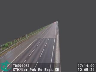 WorkingStill imageSan Tin Highway near Kam Pok Road East - Southbound, Hong Kong
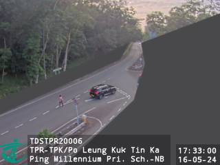 WorkingStill imageTai Po Road - Tai Po Kau near Po Leung Kuk Tin Ka Ping Millennium Primary School - Northbound, Hong Kong
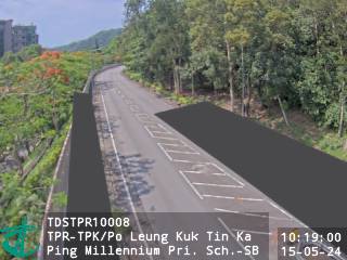 WorkingStill imageTai Po Road - Tai Po Kau near Po Leung Kuk Tin Ka Ping Millennium Primary School - Southbound, Hong Kong
 WorkingStill imageSan Tin Highway near Pok Wai - Northbound, Hong Kong
 WorkingStill imageSan Tin Highway near Pok Wai - Southbound, Hong Kong
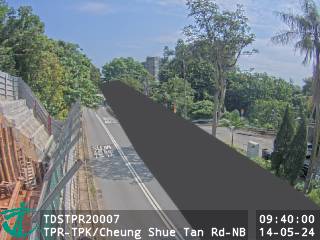 WorkingStill imageTai Po Road - Tai Po Kau near Cheung Shue Tan Road - Northbound, Hong Kong
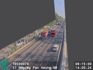 WorkingStill imageSan Tin Highway near Mo Fan Heung - Northbound, Hong Kong
 WorkingStill imageTai Po Road - Tai Po Kau near Cheung Shue Tan Road - Southbound, Hong Kong
 WorkingStill imageSan Tin Highway near Mo Fan Heung - Southbound, Hong Kong
 WorkingStill imageTai Po Road - Tai Po Kau near Dragon Fountain - Northbound, Hong Kong
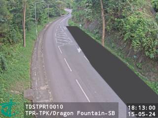 WorkingStill imageTai Po Road - Tai Po Kau near Dragon Fountain - Southbound, Hong Kong
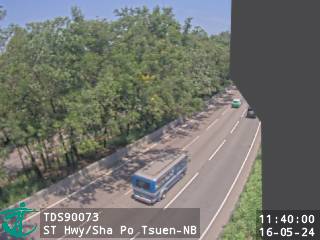 WorkingStill imageSan Tin Highway near Sha Po Tsuen - Northbound, Hong Kong
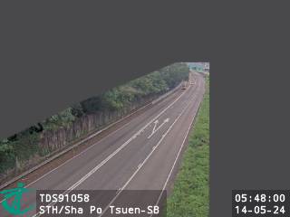 WorkingStill imageSan Tin Highway near Sha Po Tsuen - Southbound, Hong Kong
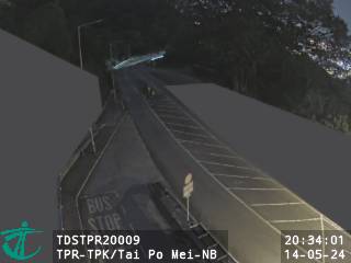 WorkingStill imageTai Po Road - Tai Po Kau near Tai Po Mei - Northbound, Hong Kong
 WorkingStill imageTai Po Road - Ma Liu Shui near Tai Po Mei - Southbound, Hong Kong
 WorkingStill imageTsing Long Highway near Yuen Long Highway - Southbound (3), Hong Kong
 WorkingStill imageTai Po Road - Ma Liu Shui near Chek Nai Ping - Northbound, Hong Kong
 WorkingStill imageYuen Long Highway near Tsing Long Highway - Westbound (2), Hong Kong
 WorkingStill imageTai Po Road - Ma Liu Shui near Chek Nai Ping - Souhtbound, Hong Kong
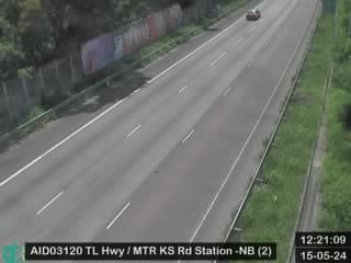 WorkingStill imageTsing Long Highway near MTR Kam Sheung Road Station - Northbound (2), Hong Kong
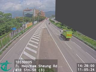 WorkingStill imageTsing Long Highway near Kam Sheung Road MTR Station - Southbound (3), Hong Kong
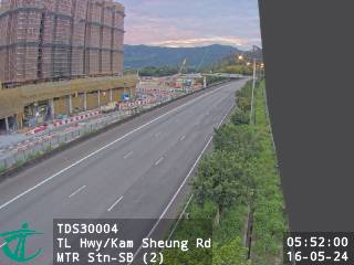 WorkingStill imageTsing Long Highway near Kam Sheung Road MTR Station - Southbound (2), Hong Kong
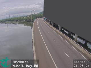 WorkingStill imageYuen Long Highway near Tsing Long Highway - Eastbound, Hong Kong
 WorkingStill imageTsing Long Highway near Ko Po San Tsuen, Hong Kong
 WorkingStill imageTsing Long Highway near Kam Tin Road - Northbound (1), Hong Kong
 WorkingStill imageTsing Long Highway near MTR Kam Sheung Road Station - Northbound (1), Hong Kong
 WorkingStill imageTsing Long Highway near Au Tau Treatment Works - Southbound, Hong Kong
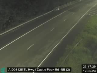 WorkingStill imageTsing Long Highway near Castle Peak Road (Yuen Long) - Northbound (2), Hong Kong
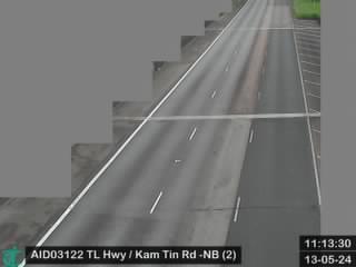 WorkingStill imageTsing Long Highway near Kam Tin Road - Northbound (2), Hong Kong
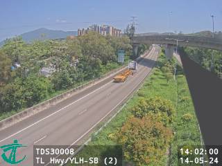 WorkingStill imageTsing Long Highway near Yuen Long Highway - Southbound (2), Hong Kong
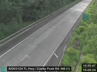 WorkingStill imageTsing Long Highway near Castle Peak Road (Yuen Long) - Northbound (1), Hong Kong
 WorkingStill imageTsing Long Highway near MTR Pat Heung Maintenance Centre - Northbound (2), Hong Kong
 WorkingStill imageTai Po Road - Ma Liu Shui near University Avenue - Northbound, Hong Kong
 WorkingStill imageTsing Long Highway near Yuen Long Highway - Southbound (1), Hong Kong
 WorkingStill imageTsing Long Highway near Kam Tin Road - Northbound (3), Hong Kong
 WorkingStill imageTsing Long Highway near Kam Sheung Road MTR Station - Southbound (1), Hong Kong
 WorkingStill imageTai Po Road - Ma Liu Shui near University Avenue - Southbound, Hong Kong
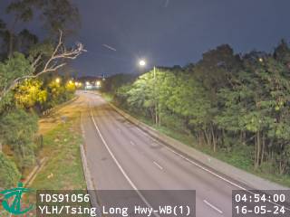 WorkingStill imageYuen Long Highway near Tsing Long Highway - Westbound (1), Hong Kong
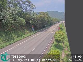 WorkingStill imageTsing Long Highway near Pat Heung Depot - Southbound, Hong Kong
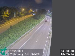 WorkingStill imageYuen Long Highway near Long Fai Road - Eastbound, Hong Kong
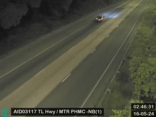 WorkingStill imageTsing Long Highway near MTR Pat Heung Maintenance Centre - Northbound (1), Hong Kong
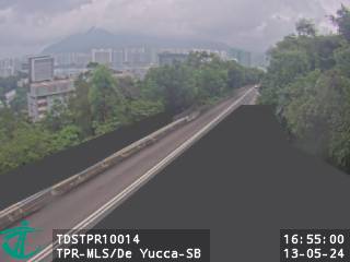 WorkingStill imageTai Po Road - Ma Liu Shui near De Yucca - Southbound, Hong Kong
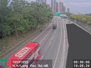 WorkingStill imageYuen Long Highway near Long Fai Road - Westbound, Hong Kong
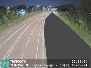 WorkingStill imageYuen Long Highway near Pok Oi Interchange - Eastbound (2), Hong Kong
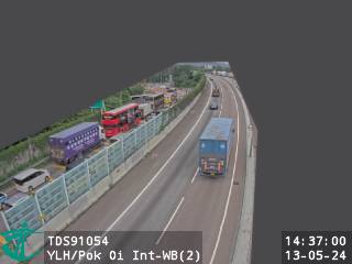 WorkingStill imageYuen Long Highway near Pok Oi Interchange - Westbound (2), Hong Kong
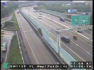 WorkingStill imageYuen Long Highway near Pok Oi Interchange, Hong Kong
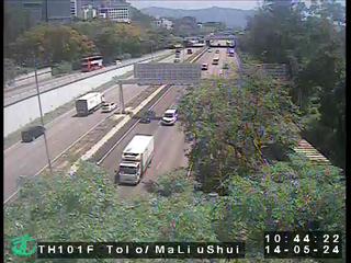 WorkingStill imageTolo Highway near Ma Liu Shui Interchange, Hong Kong
 WorkingStill imageYuen Long Highway near Pok Oi Interchange - Westbound (1), Hong Kong
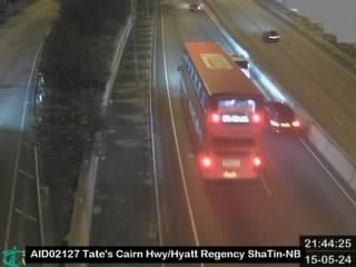 WorkingStill imageTate's Cairn Highway near Hyatt Regency ShaTin - Northbound, Hong Kong
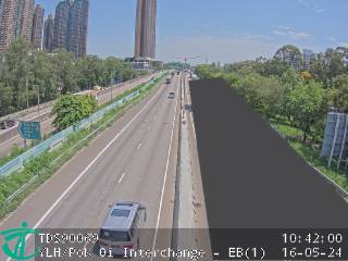 WorkingStill imageYuen Long Highway near Pok Oi Interchange - Eastbound (1), Hong Kong
No live video among these cameras. Turn off "Live video only" to see them all.
Best cams to watch
- Fanling Highway near Fanling Recreation Ground - Eastbound, Hong Kong — Still image · every 2 min, working 100 % of the time in the last 30 days.
- Ting Kok Road near Chung Nga Road - Eastbound, Hong Kong — Still image · every 2 min, working 100 % of the time in the last 30 days.
- San Sham Road Roundabout, Hong Kong — Still image · every 2 min, working 100 % of the time in the last 30 days.
Fanling is a town in Hong Kong's North District, part of the Fanling and Sheung Shui new town that grew up on the plains of the northern New Territories, a few kilometers from the boundary with Shenzhen. Long before the high-rise estates arrived, this was the home ground of the Tang clan and other old families, and their walled villages still stand among the towers. The Lung Yeuk Tau Heritage Trail links several of them, along with ancestral halls and a Tin Hau temple, and Fanling Wai keeps its moat and gatehouse. The Taoist temple Fung Ying Seen Koon, next to the railway station, is one of the best-known landmarks, and the green fairways of the Hong Kong Golf Club spread out to the west of town.
Fanling station on the MTR East Rail line connects the town with Sha Tin and Kowloon in one direction and with the Lo Wu and Lok Ma Chau crossings into mainland China in the other.
What the cameras show
The cameras grouped under Fanling come from Hong Kong's Transport Department, which publishes small still snapshots from its traffic cameras that refresh every couple of minutes. In this area they look at the main roads of the northern New Territories, including the Fanling Highway, part of Route 9, which runs between Tai Po and Sheung Shui and onward toward the boundary crossings. They give a quick sense of traffic flow, rain and visibility rather than street life.
Hong Kong keeps one time all year, eight hours ahead of UTC. The highway is busiest during the weekday morning and evening peaks, and traffic toward the boundary can rise around public holidays, when many people travel to and from the mainland. Summers are hot and humid with heavy showers and the chance of typhoons, while winter brings drier, cooler air and clearer views.
Close by, the Tai Po page covers Tolo Harbour and the roads to the south, and the Sha Tau Kok area to the northeast leads toward the quiet coast of Starling Inlet.
Sources: Fanling - Wikipedia · Lung Yeuk Tau - Wikipedia · Traffic Snapshot Images, Transport Department (DATA.GOV.HK).
Nearby places
- Shenzhen (1008)
- Hong Kong (999)
- Victoria (990)
- Tsuen Wan (901)
- Tuen Mun (832)
- Tsing Yi Town (826)
- Kwai Chung (793)
- Sha Tin (701)
Questions about Fanling
How many webcams can I watch in Fanling?
LiveLocation lists 200 cameras in and around Fanling, Hong Kong: 0 live video, 200 still images. 200 of them were live or showing a fresh image at the last check.
Who runs the cameras in Fanling?
All of them come from Hong Kong Transport Department (200). Each camera plays straight from the agency or owner that runs it, with credit. Hong Kong Transport Department
What can I see on the Fanling cameras?
All of them show traffic and highway (200). Good ones to start with: Fanling Highway near Fanling Recreation Ground - Eastbound, Hong Kong and Ting Kok Road near Chung Nga Road - Eastbound, Hong Kong. Fanling Highway near Fanling Recreation Ground - Eastbound, Hong Kong Ting Kok Road near Chung Nga Road - Eastbound, Hong Kong
Can I watch live video from Fanling?
Not yet: the cameras here send still images that refresh about every 2 minutes. The map can show only live-video cameras nearby. Live video on the map
What time is it in Fanling, and when is it light?
Fanling is on Asia/Hong Kong time. On October 8 the sun rises at 6:17 AM and sets at 6:04 PM, so still images are clearest between those times. Road cameras show the most traffic in the weekday morning and evening rush hours.
Which places near Fanling also have cameras?
The nearest are Sheung Shui (3.4 km away, 89 cameras), Hong Lok Yuen (3.9 km away, 120 cameras) and Tai Po (5.8 km away, 566 cameras). Sheung Shui Hong Lok Yuen Tai Po
How can I see the Fanling cameras on a map?
The map at the top of this page shows all 200 of them. The live camera radar centers on Fanling and lists every camera within 5 to 250 km, nearest first, with filters for live video, traffic, nature and more. Open the radar on Fanling
Place names and locations: GeoNames, licensed under CC BY 4.0.