Live cameras in Kwun Tong, Hong Kong
200 cameras: 0 live video, 200 still images · 200 working now · updated Oct 8, 06:45 UTC
Kwun Tong has 200 live cameras on LiveLocation right now: 0 live video, 200 still images. Good places to start: Kwun Tong Bypass near Kwun Tong Ferry - Northbound, Hong Kong, New Clear Water Bay Road near St. Joseph's Anglo-Chinese School - Eastbound, Hong Kong, Kwun Tong Bypass near Skyline Tower Car Park - Southbound, Hong Kong. Local time is 2:45 PM (Asia/Hong Kong). Today the sun rises at 6:16 AM and sets at 6:04 PM.
Kwun Tong live cameras
Kwun Tong live cameras, all in one place: 0 live video, 200 still images. 200 of them were live or fresh at the last check. Kwun Tong is home to about 17,000 people.
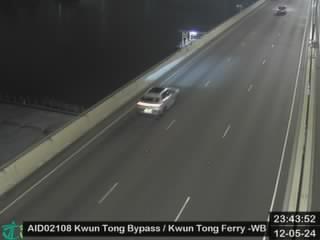 WorkingStill imageKwun Tong Bypass near Kwun Tong Ferry - Northbound, Hong Kong
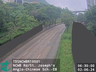 WorkingStill imageNew Clear Water Bay Road near St. Joseph's Anglo-Chinese School - Eastbound, Hong Kong
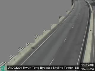 WorkingStill imageKwun Tong Bypass near Skyline Tower Car Park - Southbound, Hong Kong
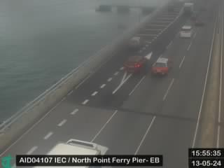 WorkingStill imageIsland Eastern Corridor near North Point Ferry Pier Eastbound, Hong Kong
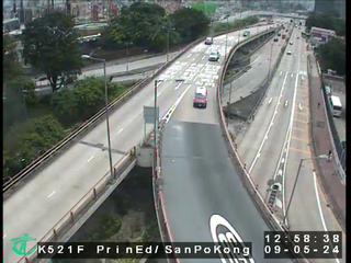 WorkingStill imagePrince Edward Road East near San Po Kong, Hong Kong
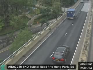 WorkingStill imageTseung Kwan O Tunnel Road near Po Hong Park - Eastbound, Hong Kong
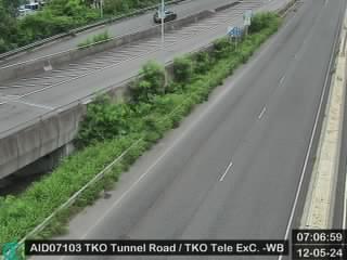 WorkingStill imageTseung Kwan O Tunnel Road near Telephone Exchange - Westbound, Hong Kong
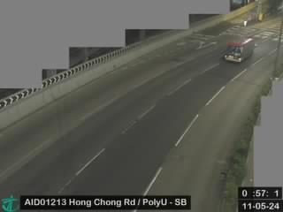 WorkingStill imageHong Chong Road near The Hong Kong Polytechnic University - Southbound, Hong Kong
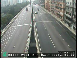 WorkingStill imageWest Kowloon Corridor near Nam Cheong Estate, Hong Kong
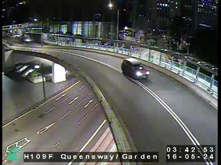 WorkingStill imageQueen's Road Central near Garden Road, Hong Kong
 WorkingStill imageSha Tin Road near Christ College - Northbound, Hong Kong
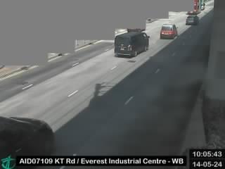 WorkingStill imageKwun Tong Road near The Grande Building - Westbound, Hong Kong
 WorkingStill imageKwun Tong Road near Hong Ning Road - Eastbound, Hong Kong
 WorkingStill imageKwun Tong Road near Kwun Tong Road Rest Garden - Eastbound, Hong Kong
 WorkingStill imageKwun Tong Road near Ngua Tau Kok MTR Station, Hong Kong
 WorkingStill imageKwun Tong Bypass near Kowloon Flour Mills - Southbound, Hong Kong
 WorkingStill imageKwun Tong Bypass near Kowloon Flour Mills - Northbound, Hong Kong
 WorkingStill imageKwun Tong Bypass near Kwun Tong Ferry - Eastbound, Hong Kong
 WorkingStill imageKwun Tong Bypass near Lai Yip Street, Hong Kong
 WorkingStill imageKwun Tong Bypass near MG Tower - Southbound, Hong Kong
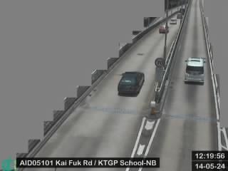 WorkingStill imageKai Fuk Road near Kwun Tong Government Primary School - Westbound, Hong Kong
 WorkingStill imageKwun Tong Road near Lai Yip Street - Westbound, Hong Kong
 WorkingStill imageKwun Tong Bypass near NEO - Northbound, Hong Kong
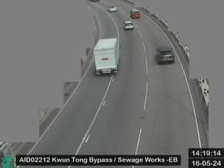 WorkingStill imageKwun Tong Bypass near Kwun Tong Sewage Treatment Works - Eastbound, Hong Kong
 WorkingStill imageKwun Tong Road near Hong Kong Student Aid Society - Eastbound, Hong Kong
 WorkingStill imageKwun Tong Bypass near Laguna City - Westbound, Hong Kong
 WorkingStill imageKwun Tong Bypass near Manulife Financial Centre - Westbound, Hong Kong
 WorkingStill imageKwun Tong Bypass near Manulife Financial Centre - Eastbound, Hong Kong
 WorkingStill imageKwun Tong Road near Tsui Ping Road - Westbound, Hong Kong
 WorkingStill imageKai Fuk Road near Kwun Tong Road Sitting-out Area - Eastbound, Hong Kong
 WorkingStill imageKwun Tong Bypass near Sunbeam Centre - Eastbound, Hong Kong
 WorkingStill imageKwun Tong Road near Foo Yue Building - Eastbound, Hong Kong
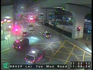 WorkingStill imageLei Yue Mun Road near Cha Kwo Ling Road, Hong Kong
 WorkingStill imageKai Fuk Road near Ngau Tau Kok Jockey Club Clinic - Westbound, Hong Kong
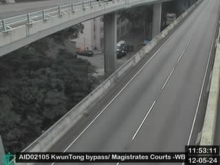 WorkingStill imageKwun Tong Bypass near Magistrates Courts - Westbound, Hong Kong
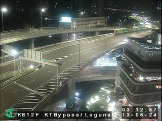 WorkingStill imageKwun Tong Bypass near Laguna City, Hong Kong
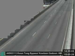 WorkingStill imageKwun Tong Bypass near Kowloon Godown - Northbound, Hong Kong
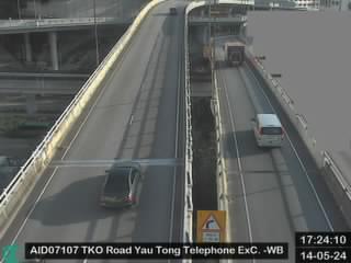 WorkingStill imageTseung Kwan O Road near Yau Tong Telephone Exchange - Westbound, Hong Kong
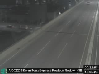 WorkingStill imageKwun Tong Bypass near Kowloon Godown - Southbound, Hong Kong
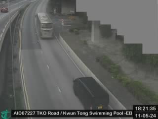 WorkingStill imageTseung Kwan O Road near Kwun Tong Swimming Pool - Eastbound, Hong Kong
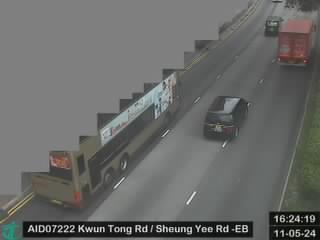 WorkingStill imageKwun Tong Road near Sheung Yee Road - Eastbound, Hong Kong
 WorkingStill imageKwun Tong Road near Yan Wing Mansion - Westbound, Hong Kong
 WorkingStill imageKwun Tong Road near Kowloon Bay MTR Station, Hong Kong
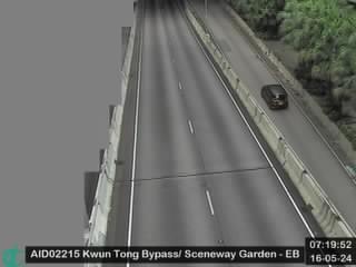 WorkingStill imageKwun Tong Bypass near Sceneway Garden - Eastbound, Hong Kong
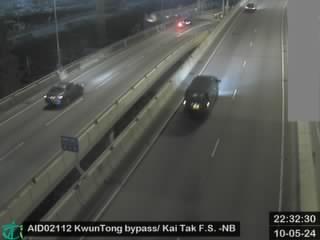 WorkingStill imageKwun Tong Bypass near Kai Tak Fire Station - Northbound, Hong Kong
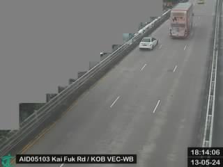 WorkingStill imageKai Fuk Road near Kowloon Bay Vehicle Examination Centre - Westbound, Hong Kong
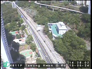 WorkingStill imageTseung Kwan O Road near Tsui Ping South Estate, Hong Kong
 WorkingStill imageKai Fuk Road near Kowloon Bay Vehicle Examination Centre - Eastbound, Hong Kong
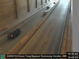 WorkingStill imageKwun Tong Bypass near Sceneway Garden - Westbound, Hong Kong
 WorkingStill imageKwun Tong Bypass near Vehicle Examination Centre - Southbound, Hong Kong
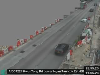 WorkingStill imageKwun Tong Road near Lower Ngau Tau Kok Estate - Eastbound, Hong Kong
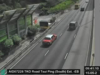 WorkingStill imageTseung Kwan O Road near Tsui Ping (South) Estate - Eastbound, Hong Kong
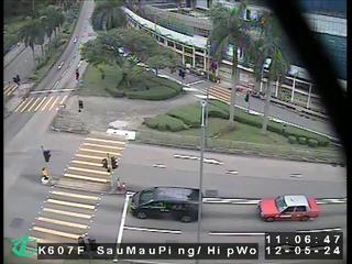 WorkingStill imageSau Mau Ping Road near Hip Wo Street, Hong Kong
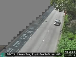 WorkingStill imageKwun Tong Road near Fuk To Street - Westbound, Hong Kong
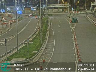 WorkingStill imageTKO-LTT - CKL Rd Roundabout, Hong Kong
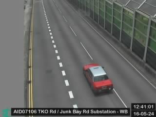 WorkingStill imageTseung Kwan O Road near Junk Bay Road Substation - Westbound, Hong Kong
 WorkingStill imageTKO-LTT - Lam Tin Portal, Hong Kong
 WorkingStill imageKai Fuk Road near Kowloon Bay Vehicle Detention and Examination Centre - Eastbound, Hong Kong
 WorkingStill imageKai Fuk Road near Kowloon Bay Vehicle Detention and Examination Centre - Westbound, Hong Kong
 WorkingStill imageKwun Tong Bypass near MegaBox - Northbound, Hong Kong
 WorkingStill imageEastern Harbour Crossing Kowloon Side, Hong Kong
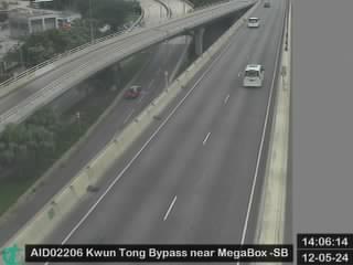 WorkingStill imageKwun Tong Bypass near MegaBox - Southbound, Hong Kong
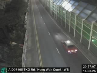 WorkingStill imageTseung Kwan O Road near Lin Tak Road - Westbound, Hong Kong
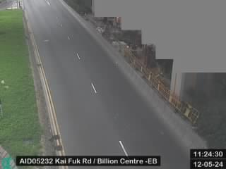 WorkingStill imageKai Fuk Road near Billion Centre - Eastbound, Hong Kong
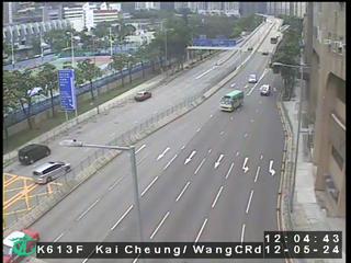 WorkingStill imageKai Cheung Road near Wang Chiu Road, Hong Kong
 WorkingStill imageKwun Tong Road near Kai Tai Court - Eastbound, Hong Kong
 WorkingStill imageKwun Tong Road near Kowloon Bay St. John the Baptist Catholic Primary School - Westbound, Hong Kong
 WorkingStill imageKwun Tong Bypass near Trade & Exhibition Centre - Northbound, Hong Kong
 WorkingStill imageNew Clear Water Bay Road near Shun Lee Disciplined Services Quarters - Westbound (1), Hong Kong
 WorkingStill imageKwun Tong Bypass near Trade & Exhibition Centre - Southbound, Hong Kong
 WorkingStill imageNew Clear Water Bay Road near Shun Lee Disciplined Services Quarters - Eastbound (1), Hong Kong
 WorkingStill imageKwun Tong Bypass near Kai Cheung Road, Hong Kong
 WorkingStill imageKwun Tong Road near Choi Shek Lane - Eastbound, Hong Kong
 WorkingStill imageNew Clear Water Bay Road near Shun Lee Disciplined Services Quarters - Eastbound (2), Hong Kong
 WorkingStill imageNew Clear Water Bay Road near Shun Lee Disciplined Services Quarters - Westbound (2), Hong Kong
 WorkingStill imageKwun Tong Road near Choi Shek Lane - Westbound, Hong Kong
 WorkingStill imageKwun Tong Bypass near Kowloon Bay Park - Northbound, Hong Kong
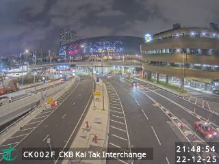 WorkingStill imageCentral Kowloon Bypass (Yau Ma Tei Section) KAI TAK INTERCHANGE, Hong Kong
 WorkingStill imageIsland Eastern Corridor near North Point Government Offices - Eastbound, Hong Kong
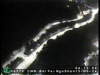 WorkingStill imageClear Water Bay Road near Fei Ngo Shan Road, Hong Kong
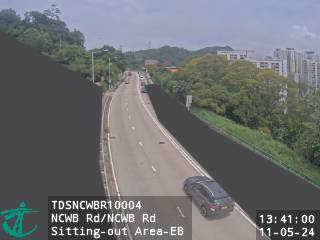 WorkingStill imageNew Clear Water Bay Road near New Clear Water Bay Road Sitting-out Area - Eastbound, Hong Kong
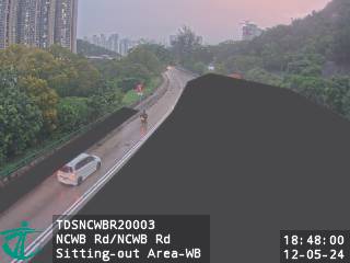 WorkingStill imageNew Clear Water Bay Road near New Clear Water Bay Road Sitting-out Area - Westbound, Hong Kong
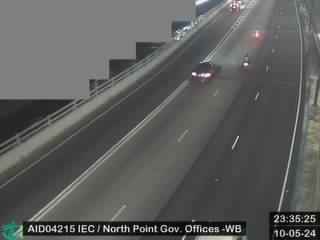 WorkingStill imageIsland Eastern Corridor near North Point Government Offices - Westbound, Hong Kong
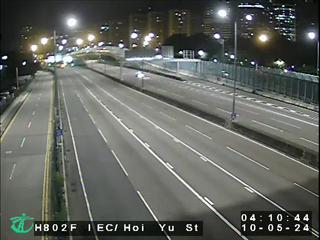 WorkingStill imageIsland Eastern Corridor near Hoi Yu Street, Hong Kong
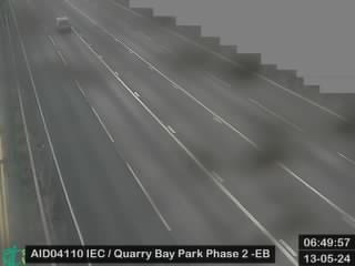 WorkingStill imageIsland Eastern Corridor near Quarry Bay Park Phase 2 - Eastbound, Hong Kong
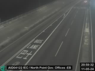 WorkingStill imageIsland Eastern Corridor near North Point Government Offices - Eastbound, Hong Kong
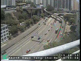 WorkingStill imageKwun Tong Road near Lung Cheung Road, Hong Kong
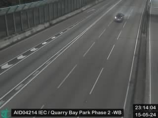 WorkingStill imageIsland Eastern Corridor near Quarry Bay Park Phase 2 - Westbound, Hong Kong
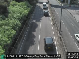 WorkingStill imageIsland Eastern Corridor near Quarry Bay Park Phase 1 - Eastbound, Hong Kong
 WorkingStill imageIsland Eastern Corridor near Ka Wah Centre, Hong Kong
 WorkingStill imageIsland Eastern Corridor near ICAC Headquarters - Eastbound, Hong Kong
 WorkingStill imageIsland Eastern Corridor near Quarry Bay Park Phase 1 - Westbound (2), Hong Kong
 WorkingStill imageIsland Eastern Corridor near Quarry Bay Park Phase 1 - Westbound (1), Hong Kong
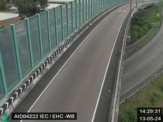 WorkingStill imageIsland Eastern Corridor near EHC - Westbound, Hong Kong
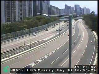 WorkingStill imageIsland Eastern Corridor near Quarry Bay Park, Hong Kong
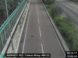 WorkingStill imageIsland Eastern Corridor near Taikoo Shing - Westbound (2), Hong Kong
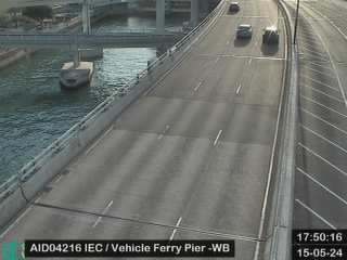 WorkingStill imageIsland Eastern Corridor near Vehicle Ferry Pier - Westbound, Hong Kong
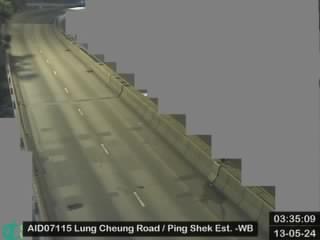 WorkingStill imageLung Cheung Road near Ping Shek Estate - Westbound, Hong Kong
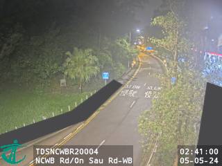 WorkingStill imageNew Clear Water Bay Road near On Sau Road - Westbound, Hong Kong
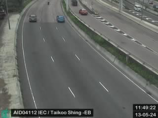 WorkingStill imageIsland Eastern Corridor near Taikoo Shing - Eastbound, Hong Kong
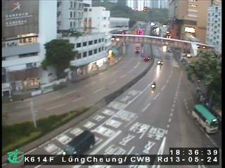 WorkingStill imageLung Cheung Road/Clear Water Bay Road, Hong Kong
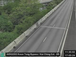 WorkingStill imageKwun Tong Bypass near Kai Ching Estate - Southbound, Hong Kong
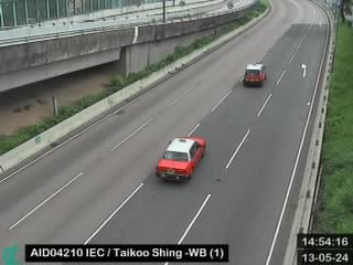 WorkingStill imageIsland Eastern Corridor near Taikoo Shing - Westbound (1), Hong Kong
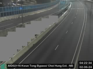 WorkingStill imageKwun Tong Bypass near Choi Hung Estate - Northbound, Hong Kong
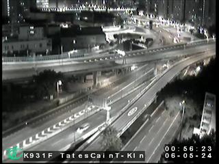 WorkingStill imageTate's Cairn Tunnel Kowloon Side, Hong Kong
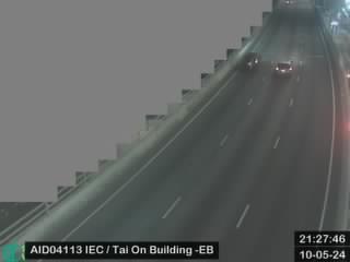 WorkingStill imageIsland Eastern Corridor near Tai On Building - Eastbound, Hong Kong
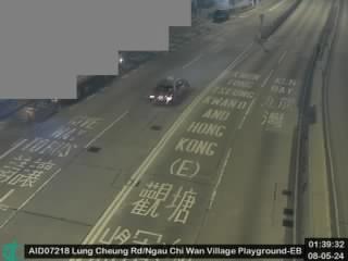 WorkingStill imageLung Cheung Road near Ngau Chi Wan Village Playground - Eastbound, Hong Kong
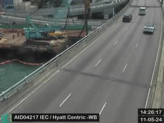 WorkingStill imageIsland Eastern Corridor near Hyatt Centric - Westbound, Hong Kong
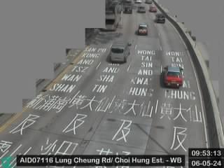 WorkingStill imageLung Cheung Road near Kam Hon House Choi Hung Estate Substation - Westbound, Hong Kong
 WorkingStill imageTate's Cairn Highway near Choi Hung Estate - Southbound, Hong Kong
 WorkingStill imageTseung Kwan O Tunnel Road near Tseung Kwan O Tunnel Portal - Eastbound, Hong Kong
 WorkingStill imageIsland Eastern Corridor near Provident Centre - Eastbound, Hong Kong
 WorkingStill imageIsland Eastern Corridor near Tai On Building - Westbound, Hong Kong
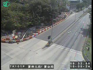 WorkingStill imagePo Lam Road North near Po Hong Road, Hong Kong
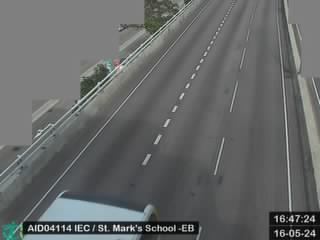 WorkingStill imageIsland Eastern Corridor near St. Mark's School - Eastbound, Hong Kong
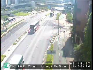 WorkingStill imageChui Ling Road near Po Shun Road, Hong Kong
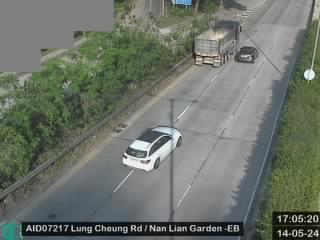 WorkingStill imageLung Cheung Road near Nan Lian Garden - Eastbound, Hong Kong
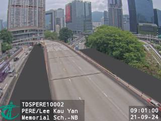 WorkingStill imagePrince Edward Road East near Lee Kau Yan Memorial School - Northbound, Hong Kong
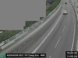 WorkingStill imageIsland Eastern Corridor near Oi Tung Estate - Westbound, Hong Kong
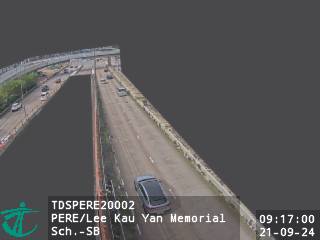 WorkingStill imagePrince Edward Road East near Lee Kau Yan Memorial School - Southbound, Hong Kong
 WorkingStill imageTate's Cairn Highway near Chi Lin Nunnery - Northbound, Hong Kong
 WorkingStill imageIsland Eastern Corridor near Aldrich Garden - Westbound, Hong Kong
 WorkingStill imageKai Tak Tunnel Kowloon City Side, Hong Kong
 WorkingStill imageIsland Eastern Corridor near Heng Fa Chuen - Southbound (1), Hong Kong
 WorkingStill imagePrince Edward Road East near Regal Oriental Hotel - Southbound, Hong Kong
 WorkingStill imageTseung Kwan O Tunnel Road near Tseung Kwan O Tunnel Portal - Westbound, Hong Kong
 WorkingStill imagePrince Edward Road East near Tak Ku Ling Road - Northbound, Hong Kong
 WorkingStill imageLung Cheung Road near Diamond Hill MTR Station, Hong Kong
 WorkingStill imageKing's Road near Tin Chong Street, Hong Kong
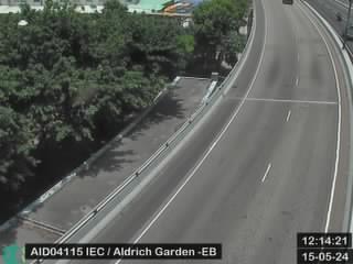 WorkingStill imageIsland Eastern Corridor near Aldrich Garden - Eastbound, Hong Kong
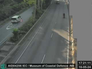 WorkingStill imageIsland Eastern Corridor near Museum of Coastal Defence - Northbound, Hong Kong
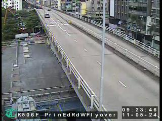 WorkingStill imagePrince Edward Rd W Flyover nr Olympic Garden, Hong Kong
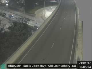 WorkingStill imageTate's Cairn Highway near Chi Lin Nunnery - Southbound, Hong Kong
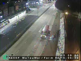 WorkingStill imageMa Tau Wai Road near Farm Road, Hong Kong
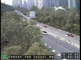 WorkingStill imageTseung Kwan O Tunnel - Tseung Kwan O Side, Hong Kong
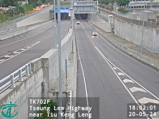 WorkingStill imageTseung Lam Highway near Tiu Keng Leng, Hong Kong
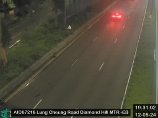 WorkingStill imageLung Cheung Road near Lung Poon Court Commercial Centre - Eastbound, Hong Kong
 WorkingStill imageCentral - Wan Chai Bypass near City Garden, Hong Kong
 WorkingStill imageIsland Eastern Corridor near Heng Fa Chuen - Northbound (2), Hong Kong
 WorkingStill imageIsland Eastern Corridor near Heng Fa Chuen - Southbound (2), Hong Kong
 WorkingStill imageChatham Road North near MTR Ho Man Tin Station - Westbound, Hong Kong
 WorkingStill imageWan Po Road near Tseung Kwan O Tunnel Road - Eastbound, Hong Kong
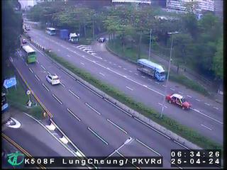 WorkingStill imageLung Cheung Road/Po Kong Village Road, Hong Kong
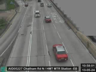 WorkingStill imageChatham Road North near MTR Ho Man Tin Station - Eastbound, Hong Kong
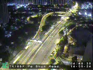 WorkingStill imagePo Shun Road near Tseung Kwan O Swimming Pool, Hong Kong
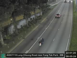 WorkingStill imageLung Cheung Road near Po Kong Village Road - Westbound, Hong Kong
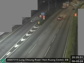 WorkingStill imageLung Cheung Road near Tropicana Gardens - Eastbound, Hong Kong
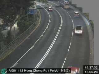 WorkingStill imageHong Chong Road near The Hong Kong Polytechnic University - Northbound (2), Hong Kong
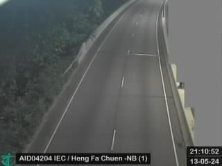 WorkingStill imageIsland Eastern Corridor near Heng Fa Chuen - Northbound (1), Hong Kong
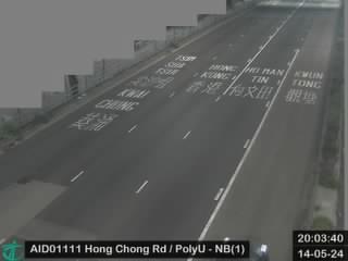 WorkingStill imageHong Chong Road near The Hong Kong Polytechnic University - Northbound (1), Hong Kong
 WorkingStill imageWan Po Road near Hong Kong Velodrome - Westbound, Hong Kong
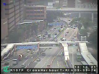 WorkingStill imageCross Harbour Tunnel Kowloon Side, Hong Kong
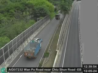 WorkingStill imageWan Po Road near Chiu Shun Road - Eastbound, Hong Kong
 WorkingStill imagePrincess Margaret Road near King's Park -Southbound, Hong Kong
 WorkingStill imageIsland Eastern Corridor near Heng Fa Chuen - Southbound (3), Hong Kong
 WorkingStill imageLung Cheung Road near Lung On House Lower Wong Tai Sin (II) Estate - Westbound, Hong Kong
 WorkingStill imagePrincess Margaret Road near Yu Chun Keung Memorial College - Northbound, Hong Kong
 WorkingStill imagePrincess Margaret Road near Yu Chun Keung Memorial College - Southbound, Hong Kong
 WorkingStill imageChatham Road near Princess Margaret Road, Hong Kong
 WorkingStill imagePrincess Margaret Road/Pui Ching Road, Hong Kong
 WorkingStill imagePrincess Margaret Road near Oi Man Estate - Southbound(2), Hong Kong
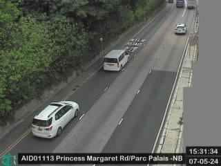 WorkingStill imagePrincess Margaret Road near Parc Palais- Northbound, Hong Kong
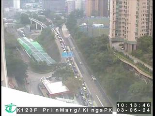 WorkingStill imagePrincess Margaret Road near King's Park, Hong Kong
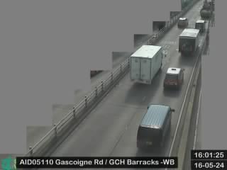 WorkingStill imageGascoigne Road near Gun Club Hill Barracks - Westbound, Hong Kong
 WorkingStill imagePrincess Margaret Road near St. John Ambulance Brigade Kowloon Depot - Northbound, Hong Kong
 WorkingStill imageGascoigne Road near Gun Club Hill Barracks - Eastbound, Hong Kong
 WorkingStill imageCauseway Road near Hing Fat Street, Hong Kong
 WorkingStill imageWan Po Road near Pung Loi Road - Westbound, Hong Kong
 WorkingStill imageLung Cheung Road near Temple Mall North - Eastbound, Hong Kong
 WorkingStill imagePrincess Margaret Road near St. John Ambulance Brigade Kowloon Depot - Southbound, Hong Kong
 WorkingStill imagePrincess Margaret Road/Argyle Street, Hong Kong
 WorkingStill imagePrincess Margaret Road near Oi Man Estate - Northbound, Hong Kong
 WorkingStill imagePrincess Margaret Road near Oi Man Estate - Southbound, Hong Kong
 WorkingStill imageWaterloo Road near St. George Apartments - Southbound, Hong Kong
 WorkingStill imageWaterloo Road near St. George Apartments - Northbound, Hong Kong
 WorkingStill imageChatham Road near Austin Road, Hong Kong
 WorkingStill imageIsland Eastern Corridor near HKIVE (Chai Wan) - Northbound, Hong Kong
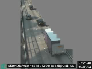 WorkingStill imageWaterloo Road near Kowloon Tong Club - Southbound, Hong Kong
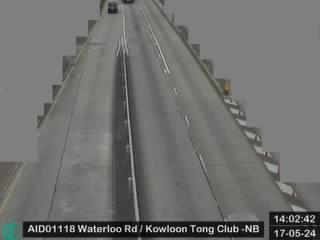 WorkingStill imageWaterloo Road near Kowloon Tong Club - Northbound, Hong Kong
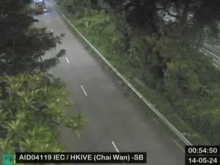 WorkingStill imageIsland Eastern Corridor near HKIVE (Chai Wan) - Southbound, Hong Kong
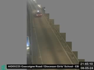 WorkingStill imageGascoigne Road near Diocesan Girls' School - Eastbound, Hong Kong
 WorkingStill imageWaterloo Road near American Internationnal School - Southbound, Hong Kong
 WorkingStill imageWaterloo Road near Durham Road - Northbound, Hong Kong
 WorkingStill imageLung Cheung Road near Tin Ma Court - Westbound, Hong Kong
 WorkingStill imageCross Bay Bridge near Lohas Park, Hong Kong
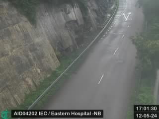 WorkingStill imageIsland Eastern Corridor near Eastern Hospital - Northbound, Hong Kong
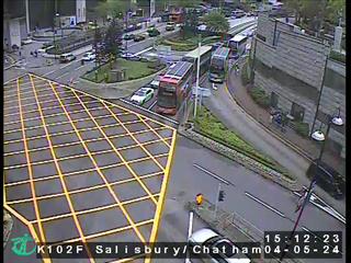 WorkingStill imageSalisbury Road near Chatham Road, Hong Kong
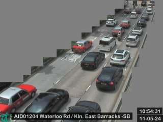 WorkingStill imageWaterloo Road near Kowloon East Barracks - Southbound, Hong Kong
 WorkingStill imageGascoigne Road near Diocesan Girls' School - Westbound, Hong Kong
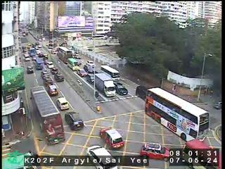 WorkingStill imageArgyle Street near Yim Po Fong Street, Hong Kong
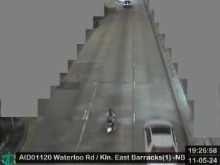 WorkingStill imageWaterloo Road near Kowloon East Barracks(1) - Northbound, Hong Kong
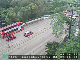 WorkingStill imageLung Cheung Road/Chuk Yuen Road, Hong Kong
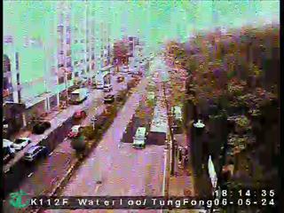 WorkingStill imageWaterloo Road near Tung Fong Street, Hong Kong
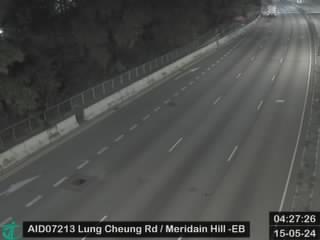 WorkingStill imageLung Cheung Road near Meridain Hill - Eastbound, Hong Kong
 WorkingStill imageGascoigne Road near Methodist College - Eastbound, Hong Kong
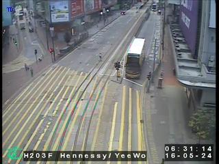 WorkingStill imageYee Wo Street near Hennessy Road, Hong Kong
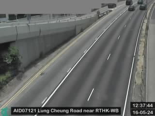 WorkingStill imageLung Cheung Road near RTHK - Westbound, Hong Kong
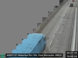 WorkingStill imageWaterloo Road near Kowloon East Barracks(2) - Northbound, Hong Kong
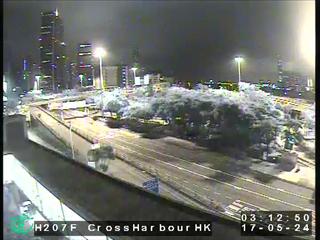 WorkingStill imageCross Harbour Tunnel Hong Kong Side, Hong Kong
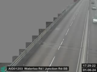 WorkingStill imageWaterloo Road near Junction Road - Southbound, Hong Kong
No live video among these cameras. Turn off "Live video only" to see them all.
Best cams to watch
- Kwun Tong Bypass near Kwun Tong Ferry - Northbound, Hong Kong — Still image · every 2 min, working 100 % of the time in the last 30 days.
- New Clear Water Bay Road near St. Joseph's Anglo-Chinese School - Eastbound, Hong Kong — Still image · every 2 min, working 100 % of the time in the last 30 days.
- Kwun Tong Bypass near Skyline Tower Car Park - Southbound, Hong Kong — Still image · every 2 min, working 100 % of the time in the last 30 days.
Kwun Tong is an area on the eastern side of the Kowloon Peninsula in Hong Kong, the core of the Kwun Tong District. It stretches from the slopes below Lion Rock and Kowloon Peak down to the waterfront facing Victoria Harbour, and from the old Kai Tak runway in the west to Lei Yue Mun in the southeast. In the 1950s the government planned it as one of Hong Kong's first new towns, and it became a dense mix of factories and public housing estates.
Many of those factory blocks have since turned into offices, studios and malls, and the district now forms part of Kowloon East, a second business center for the city. The Kwun Tong Promenade along the harbor is a favorite place for an evening walk, and the Kai Tak Sports Park, built on the former airport site next door, has added a large stadium to the area.
Kowloon East traffic views
Each picture here is a periodic snapshot taken by a Transport Department camera mounted above the road. In this part of Kowloon they cover busy corridors such as Kwun Tong Road, the elevated Kwun Tong Bypass along the waterfront, Clear Water Bay Road and Lei Yue Mun Road, along with the Kowloon end of the Eastern Harbour Crossing, which links Kowloon to Hong Kong Island under the harbor, and the Lam Tin portal of the newer tunnel to Tseung Kwan O. The images are useful for spotting slow traffic before a tunnel or a bus-heavy junction.
Clocks here never change; local time sits at UTC plus eight in every season. Sunsets range from roughly a quarter to six in December to just after seven in June. Summers are hot, humid and rainy, and typhoon season runs from about May to November; when a tropical cyclone signal is raised, traffic can thin out sharply. Winter is the driest and clearest season. Weekday rush hours are crowded, and Chinese New Year brings quieter roads.
Nearby, the Lei Yue Mun seafood village sits at the narrow eastern entrance to the harbor, and Kowloon Bay lies just to the west.
Sources: Kwun Tong - Wikipedia · Traffic snapshot images - Transport Department (DATA.GOV.HK) · Traffic camera locations (Transport Department).
Nearby places
- Shenzhen (1008)
- Hong Kong (999)
- Victoria (990)
- Tsuen Wan (901)
- Tuen Mun (832)
- Tsing Yi Town (826)
- Kwai Chung (793)
- Sha Tin (701)
Questions about Kwun Tong
How many cameras does LiveLocation have in Kwun Tong?
LiveLocation lists 200 cameras in and around Kwun Tong, Hong Kong: 0 live video, 200 still images. 200 of them were live or showing a fresh image at the last check.
Where do the Kwun Tong cameras come from?
All of them come from Hong Kong Transport Department (200). Each camera plays straight from the agency or owner that runs it, with credit. Hong Kong Transport Department
What kinds of views are there in Kwun Tong?
All of them show traffic and highway (200). Good ones to start with: Kwun Tong Bypass near Kwun Tong Ferry - Northbound, Hong Kong and New Clear Water Bay Road near St. Joseph's Anglo-Chinese School - Eastbound, Hong Kong. Kwun Tong Bypass near Kwun Tong Ferry - Northbound, Hong Kong New Clear Water Bay Road near St. Joseph's Anglo-Chinese School - Eastbound, Hong Kong
Is there live video from Kwun Tong?
Not yet: the cameras here send still images that refresh about every 2 minutes. The map can show only live-video cameras nearby. Live video on the map
When is the best time to watch the Kwun Tong cameras?
Kwun Tong is on Asia/Hong Kong time. On October 8 the sun rises at 6:16 AM and sets at 6:04 PM, so still images are clearest between those times. Road cameras show the most traffic in the weekday morning and evening rush hours.
Are there live cameras near Kwun Tong?
The nearest are Laguna City (1.0 km away, 282 cameras), Lam Tin (1.5 km away, 263 cameras) and Sau Mau Ping (1.6 km away, 580 cameras). Laguna City Lam Tin Sau Mau Ping
Is there a map of the cameras in Kwun Tong?
The map at the top of this page shows all 200 of them. The live camera radar centers on Kwun Tong and lists every camera within 5 to 250 km, nearest first, with filters for live video, traffic, nature and more. Open the radar on Kwun Tong
Place names and locations: GeoNames, licensed under CC BY 4.0.