Live cameras in Sam Shing, Hong Kong
170 cameras: 0 live video, 170 still images · 169 working now · updated Oct 8, 08:38 UTC
Sam Shing has 170 live cameras on LiveLocation right now: 0 live video, 170 still images. Good places to start: Tuen Mun Road near Chi Lok Fa Yuen - Southbound, Hong Kong, Tuen Mun Road near Siu Hong MTR Station - Northbound (1), Hong Kong, Yuen Long Highway near Hung Tin Road - Westbound (1), Hong Kong. Local time is 4:38 PM (Asia/Hong Kong). Today the sun rises at 6:17 AM and sets at 6:05 PM.
Sam Shing live cameras
Sam Shing live cameras, all in one place: 0 live video, 170 still images. 169 of them were live or fresh at the last check. Sam Shing is home to about 16,000 people.
Weather now in Sam Shing: 27 °C (81 °F), partly cloudy, wind 14 km/h (9 mph) from the east. Forecast for 5 PM local time. Weather: MET Norway (CC BY 4.0)
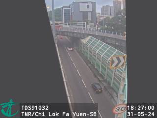 WorkingStill imageTuen Mun Road near Chi Lok Fa Yuen - Southbound, Hong Kong
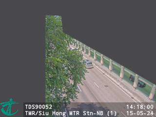 WorkingStill imageTuen Mun Road near Siu Hong MTR Station - Northbound (1), Hong Kong
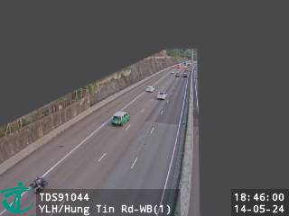 WorkingStill imageYuen Long Highway near Hung Tin Road - Westbound (1), Hong Kong
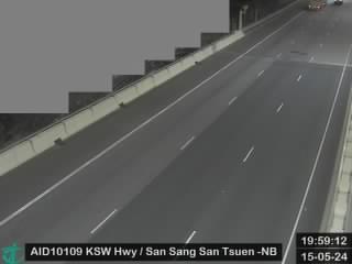 WorkingStill imageKong Sham Western Highway near San Sang San Tsuen - Northbound, Hong Kong
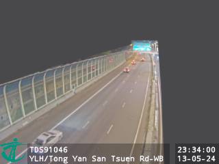 WorkingStill imageYuen Long Highway near Tong Yan San Tsuen Road - Westbound, Hong Kong
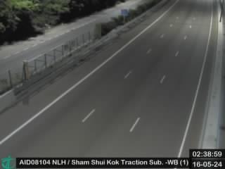 WorkingStill imageNorth Lantau Highway near Sham Shui Kok Substation - Westbound (1), Hong Kong
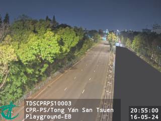 WorkingStill imageCastle Peak Rd-Ping Shan near Tong Yan San Tsuen Playground - Eastbound, Hong Kong
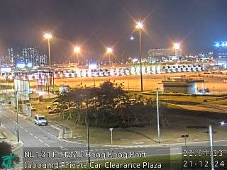 WorkingStill imageHZMB Hong Kong Port Inbound Private Car Clearance Plaza, Hong Kong
 WorkingStill imageNorth Lantau Highway near HK Police Vehicle Pound - Westbound, Hong Kong
 WorkingStill imageTuen Mun Road - Sam Shing Hui, Hong Kong
 WorkingStill imageTuen Mun Road near Castle Peak Beach - Westbound, Hong Kong
 WorkingStill imageTuen Mun Road near Tuen Mun Siu Lun Government Complex - Southbound, Hong Kong
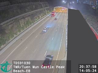 WorkingStill imageTuen Mun Road near Castle Peak Beach - Eastbound, Hong Kong
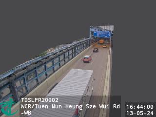 WorkingStill imageWong Chu Road near Tuen Mun Heung Sze Wui Road - Westbound, Hong Kong
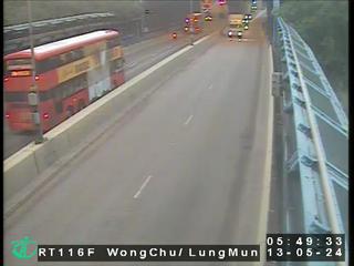 WorkingStill imageWong Chu Road near Tuen Mun Heung Sze Wui Road, Hong Kong
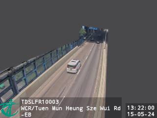 WorkingStill imageWong Chu Road near Tuen Mun Heung Sze Wui Road - Eastbound, Hong Kong
 WorkingStill imageTuen Mun Road near Castle Peak Bay Immigration Centre - Eastbound, Hong Kong
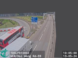 WorkingStill imageWong Chu Road near Hoi Wong Road - Eastbound, Hong Kong
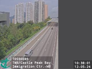 WorkingStill imageTuen Mun Road near Castle Peak Bay Immigration Centre - Westbound, Hong Kong
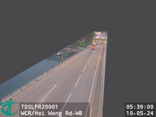 WorkingStill imageWong Chu Road near Hoi Wong Road - Westbound, Hong Kong
 WorkingStill imageLung Fu Road near Wong Chu Road - Eastbound, Hong Kong
 WorkingStill imageTuen Mun Road near Harrow International School Hong Kong - Eastbound (2), Hong Kong
 WorkingStill imageTuen Mun Road near Harrow International School Hong Kong- Westbound (2), Hong Kong
 WorkingStill imagePui To Road near Tuen Mun Park, Hong Kong
 WorkingStill imageLung Mun Road near Tuen Mun Recreation and Sports Centre, Hong Kong
 WorkingStill imageTuen Mun Road near Harrow International School Hong Kong - Eastbound (1), Hong Kong
 WorkingStill imageWu Chui Road near Wu King Road, Hong Kong
 WorkingStill imageTuen Mun Road near Harrow International School Hong Kong - Westbound (1), Hong Kong
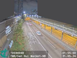 WorkingStill imageTuen Mun Road near San Hui Market - Northbound, Hong Kong
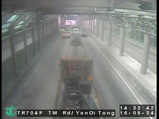 WorkingStill imageTuen Mun Road near Tsing Yin Street, Hong Kong
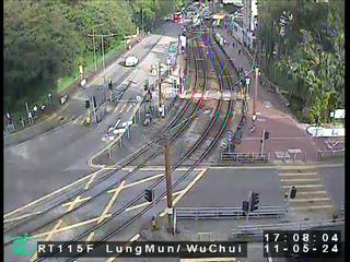 WorkingStill imageLung Mun Road near Wu Chui Road, Hong Kong
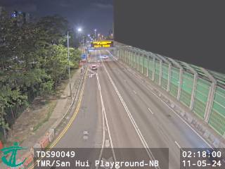 WorkingStill imageTuen Mun Road near San Hui Playground - Northbound, Hong Kong
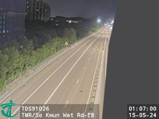 WorkingStill imageTuen Mun Road near So Kwun Wat Road - Eastbound, Hong Kong
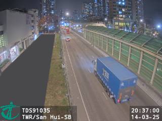 WorkingStill imageTuen Mun Road near San Hui Playground - Southbound, Hong Kong
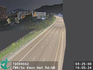 WorkingStill imageTuen Mun Road near So Kwun Wat Road - Westbound, Hong Kong
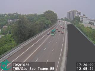 WorkingStill imageTuen Mun Road near Siu Sau Tsuen - Eastbound, Hong Kong
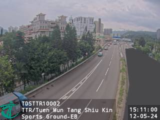 WorkingStill imageTsing Tin Road near Tuen Mun Tang Shiu Kin Sports Ground - Eastbound, Hong Kong
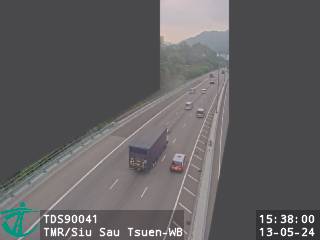 WorkingStill imageTuen Mun Road near Siu Sau Tsuen - Westbound, Hong Kong
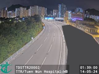 WorkingStill imageTsing Tin Road near Tuen Mun Hospital - Westbound, Hong Kong
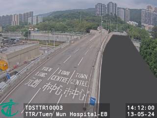 WorkingStill imageTsing Tin Road near Tuen Mun Hospital - Eastbound, Hong Kong
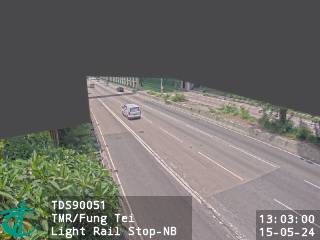 WorkingStill imageTuen Mun Road near Fung Tei Light Rail Stop - Northbound, Hong Kong
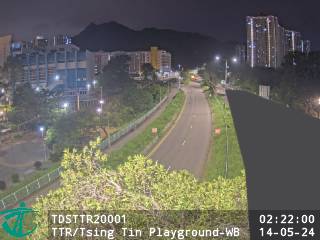 WorkingStill imageTsing Tin Road near Tsing Tin Playground - Westbound, Hong Kong
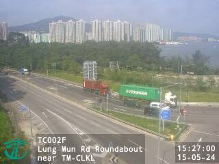 WorkingStill imageLung Mun Rd Roundabout near TM-CLKL, Hong Kong
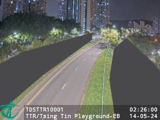 WorkingStill imageTsing Tin Road near Tsing Tin Playground - Eastbound, Hong Kong
 WorkingStill imageTuen Mun Road - Siu Lam Section, Hong Kong
 WorkingStill imageTuen Mun Road near Fung Tei Light Rail Stop - Southbound, Hong Kong
 WorkingStill imageTuen Mun Road near The Aegean - Eastbound, Hong Kong
 WorkingStill imageTuen Mun Road near Kwun Fat Street - Westbound, Hong Kong
 WorkingStill imageTuen Mun Road near MTR Siu Hong Station, Hong Kong
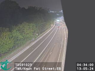 WorkingStill imageTuen Mun Road near Kwun Fat Street - Eastbound, Hong Kong
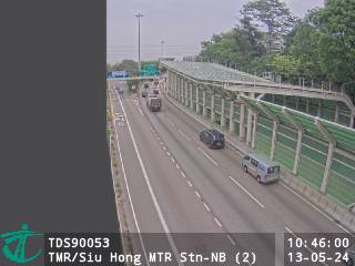 WorkingStill imageTuen Mun Road near Siu Hong MTR Station - Northbound (2), Hong Kong
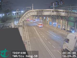 WorkingStill imageTuen Mun Road near Siu Hong MTR Station - Souththbound, Hong Kong
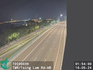 WorkingStill imageTuen Mun Road near Tsing Lam Road - Westbound, Hong Kong
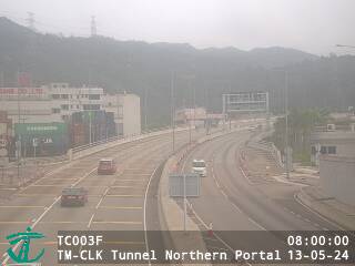 WorkingStill imageTM-CLK Tunnel Northern Portal, Hong Kong
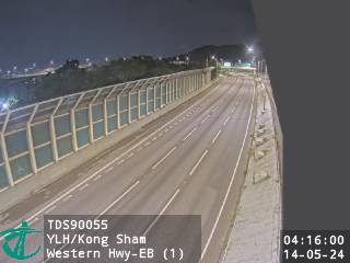 WorkingStill imageYuen Long Highway near Kong Sham Western Highway - Eastbound (1), Hong Kong
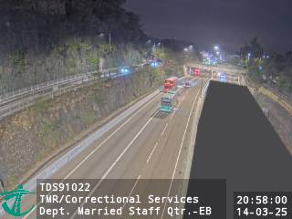 WorkingStill imageTuen Mun Road near Correctional Services Department Married Staff Quarters - Eastbound, Hong Kong
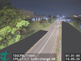 WorkingStill imageCastle Peak Rd-Lam Tei near Lam Tei Interchange - Northbound, Hong Kong
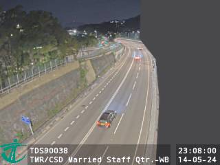 WorkingStill imageTuen Mun Road near Correctional Services Department Married Staff Quarters - Westbound, Hong Kong
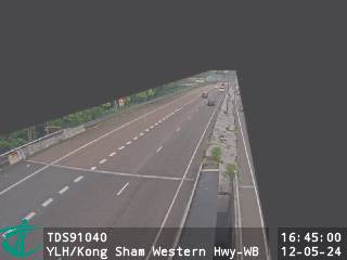 WorkingStill imageYuen Long Highway near Kong Sham Western Highway - Westbound (1), Hong Kong
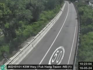 WorkingStill imageKong Sham Western Highway near Fuk Hang Tsuen - Northbound (1), Hong Kong
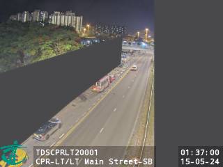 WorkingStill imageCastle Peak Rd-Lam Tei near Lam Tei Main Street - Southbound, Hong Kong
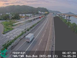 WorkingStill imageTuen Mun Road near Tuen Mun Road Bus-Bus Interchange - Eastbound (2), Hong Kong
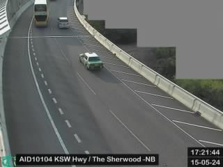 WorkingStill imageKong Sham Western Highway near The Sherwood - Northbound, Hong Kong
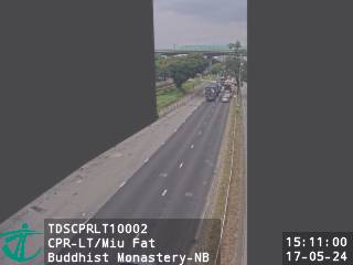 WorkingStill imageCastle Peak Rd-Lam Tei near Miu Fat Buddhist Monastery - Northbound, Hong Kong
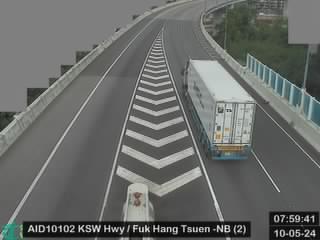 WorkingStill imageKong Sham Western Highway near Fuk Hang Tsuen - Northbound (2), Hong Kong
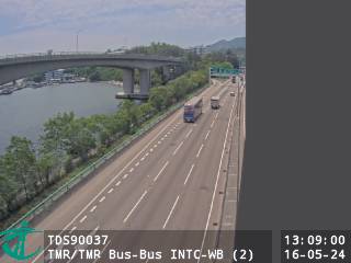 WorkingStill imageTuen Mun Road near Tuen Mun Road Bus-Bus Interchange - Westbound (2), Hong Kong
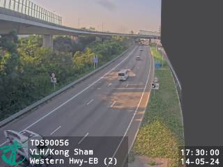 WorkingStill imageYuen Long Highway near Kong Sham Western Highway - Eastbound (2), Hong Kong
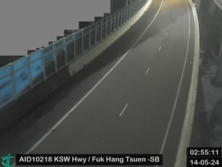 WorkingStill imageKong Sham Western Highway near Fuk Hang Tsuen - Southbound, Hong Kong
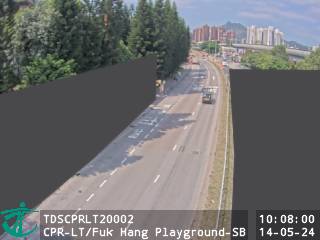 WorkingStill imageCastle Peak Rd-Lam Tei near Fuk Hang Playground - Southbound, Hong Kong
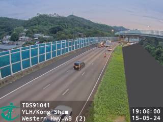 WorkingStill imageYuen Long Highway near Kong Sham Western Highway - Westbound (2), Hong Kong
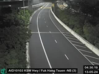 WorkingStill imageKong Sham Western Highway near Fuk Hang Tsuen - Northbound (3), Hong Kong
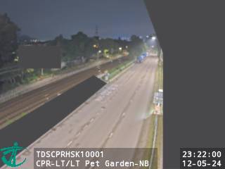 WorkingStill imageCastle Peak Rd-Lam Tei near Lam Tei Pet Garden - Northbound, Hong Kong
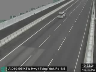 WorkingStill imageKong Sham Western Highway Tsing Yick Road - Northbound, Hong Kong
 WorkingStill imageKong Sham Western Highway near Tsing Yick Road - Southbound, Hong Kong
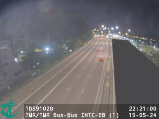 WorkingStill imageTuen Mun Road near Tuen Mun Road Bus-Bus Interchange - Eastbound (1), Hong Kong
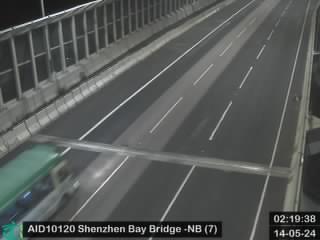 WorkingStill imageShenzhen Bay Bridge - Northbound (7), Hong Kong
 WorkingStill imageTuen Mun Road near Tuen Mun Road Bus-Bus Interchange - Westbound (1), Hong Kong
 WorkingStill imageYuen Long Highway near Kong Sham Western Highway - Westbound (3), Hong Kong
 WorkingStill imageTuen Mun Road - Tai Lam Kok Section, Hong Kong
 WorkingStill imageKong Sham Western Highway near Mai Yuan Wei Road - Southbound, Hong Kong
 WorkingStill imageKong Sham Western Highway near Mai Yuan Wei Lu - Northbound, Hong Kong
 WorkingStill imageYuen Long Highway near Kong Sham Western Highway - Eastbound (3), Hong Kong
 WorkingStill imageCastle Peak Rd-Hung Shui Kui near Shun Tat Street - Southbound, Hong Kong
 WorkingStill imageKong Sham Western Highway near Tsing Chuen Wai, Hong Kong
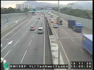 WorkingStill imageYuen Long Highway near Tan Kwai Tsuen, Hong Kong
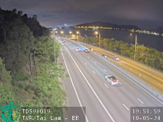 WorkingStill imageTuen Mun Road near Tai Lam - Eastbound, Hong Kong
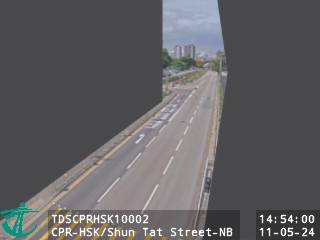 WorkingStill imageCastle Peak Rd-Hung Shui Kui near Shun Tat Street - Northbound, Hong Kong
 WorkingStill imageYuen Long Highway near Tan Kwai Tsuen - Eastbound, Hong Kong
 WorkingStill imageTuen Mun Road near Tai Lam - Westbound, Hong Kong
 WorkingStill imageKong Sham Western Highway near Yick Yuen Road - Northbound (1), Hong Kong
 WorkingStill imageYuen Long Highway near Shui Fu Road - Westbound, Hong Kong
 WorkingStill imageCastle Peak Rd-Hung Shui Kui near Tin Ha Road - Southbound, Hong Kong
 WorkingStill imageKong Sham Western Highway near Yick Yuen Road - Southbound (2), Hong Kong
 WorkingStill imageYuen Long Highway near Shui Fu Road - Eastbound, Hong Kong
 WorkingStill imageYuen Long Highway near Hung Tin Road, Hong Kong
 WorkingStill imageCastle Peak Rd-Hung Shui Kui near Tin Ha Road - Northbound, Hong Kong
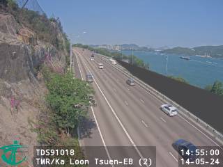 WorkingStill imageTuen Mun Road near Ka Loon Tsuen - Eastbound (2), Hong Kong
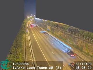 WorkingStill imageTuen Mun Road near Ka Loon Tsuen - Westbound (2), Hong Kong
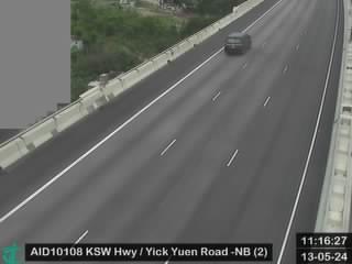 WorkingStill imageKong Sham Western Highway near Yick Yuen Road - Northbound (2), Hong Kong
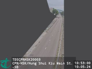 WorkingStill imageCastle Peak Rd-Hung Shui Kui near Hung Shui Kiu Main Street - Southbound, Hong Kong
 WorkingStill imageKong Sham Western Highway near Yick Yuen Road - Southbound (1), Hong Kong
 WorkingStill imageTuen Mun Road near Ka Loon Tsuen - Eastbound (1), Hong Kong
 WorkingStill imageYuen Long Highway near Hung Tin Road - Eastbound (1), Hong Kong
 WorkingStill imageCastle Peak Rd-Hung Shui Kiu near Hung Shui Kiu Light Rail Stop - Northbound, Hong Kong
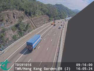 WorkingStill imageTuen Mun Road near Hong Kong Garden - Eastbound (2), Hong Kong
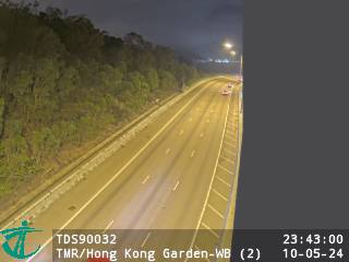 WorkingStill imageTuen Mun Road near Hong Kong Garden - Westbound (2), Hong Kong
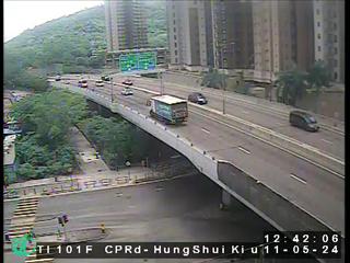 WorkingStill imageCastle Peak Road near Hung Shui Kiu, Hong Kong
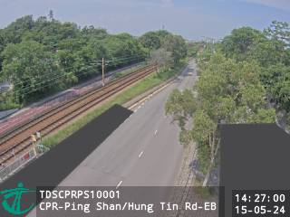 WorkingStill imageCastle Peak Rd-Ping Shan near Hung Tin Road - Eastbound, Hong Kong
 WorkingStill imageKong Sham Western Highway near San Sang San Tsuen - Southbound, Hong Kong
 WorkingStill imageYuen Long Highway near Hung Tin Road - Westbound (2), Hong Kong
 WorkingStill imageCastle Peak Rd-Ping Shan near Hung Tin Road - Westbound, Hong Kong
 WorkingStill imageTuen Mun Road near Hong Kong Garden - Westbound (1), Hong Kong
 WorkingStill imageTuen Mun Road - near Tsing Lung Tau, Hong Kong
 WorkingStill imageYuen Long Highway near Hung Tin Road - Eastbound (2), Hong Kong
 WorkingStill imageTuen Mun Road near Hong Kong Garden - Eastbound (1), Hong Kong
 WorkingStill imageKong Sham Western Highway near Ha Tsuen Road - Northbound, Hong Kong
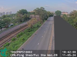 WorkingStill imageCastle Peak Rd-Ping Shan near Fui Sha Wai - Eastbound, Hong Kong
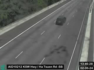 WorkingStill imageKong Sham Western Highway near Ha Tsuen Road - Southbound, Hong Kong
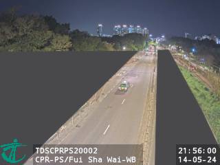 WorkingStill imageCastle Peak Rd-Ping Shan near Fui Sha Wai - Westbound, Hong Kong
 WorkingStill imageYuen Long Highway near Tong Yan San Tsuen Road - Eastbound, Hong Kong
 WorkingStill imageNorth Lantau Highway near Sham Shui Kok Substation - Westbound (2), Hong Kong
 WorkingStill imageNorth Lantau Highway near Tung Yip Hang - Eastbound (3), Hong Kong
 WorkingStill imageTuen Mun Road near Sham Tseng - Westbound (6), Hong Kong
 WorkingStill imageNorth Lantau Highway near Tung Yip Hang - Eastbound (2), Hong Kong
 WorkingStill imageNorth Lantau Highway near Sham Shui Kok Substation - Westbound (3), Hong Kong
 WorkingStill imageYuen Long Highway near Tong Yan San Tsuen Interchange, Hong Kong
 WorkingStill imageNorth Lantau Highway near Tung Yip Hang - Eastbound (1), Hong Kong
 WorkingStill imageKong Sham Western Highway near San Wai Sewage Treatment Plant - Southbound, Hong Kong
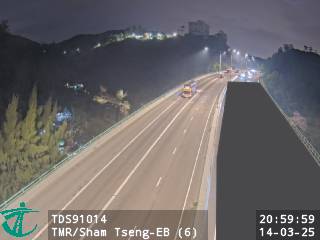 WorkingStill imageTuen Mun Road near Sham Tseng - Eastbound (6), Hong Kong
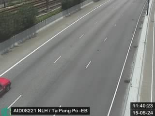 WorkingStill imageNorth Lantau Highway near Ta Pang Po - Eastbound, Hong Kong
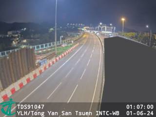 WorkingStill imageYuen Long Highway near Tong Yan San Tsuen Interchange - Westbound, Hong Kong
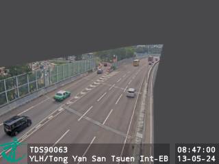 WorkingStill imageYuen Long Highway near Tong Yan San Tsuen Interchange - Eastbound, Hong Kong
 WorkingStill imageNorth Lantau Highway near Tung Yip Hang - Westbound, Hong Kong
 WorkingStill imageKong Sham Western Highway near San Wai Sewage Treatment Plant - Northbound, Hong Kong
 WorkingStill imageYuen Long Highway near Lam Hau Tsuen - Westbound, Hong Kong
 WorkingStill imageYuen Long Highway near Lam Hau Tsuen - Eastbound, Hong Kong
 WorkingStill imageNorth Lantau Highway near Sunny Bay Beach - Westbound, Hong Kong
 WorkingStill imageCastle Peak Rd-Ping Shan near Tong Yan San Tsuen Playground - Westbound, Hong Kong
 WorkingStill imageKong Sham Western Highway near Ha Tsuen Weigh Station - Southbound, Hong Kong
 WorkingStill imageNorth Lantau Highway near Refuse Transfer Station - Eastbound, Hong Kong
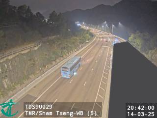 WorkingStill imageTuen Mun Road near Sham Tseng - Westbound (5), Hong Kong
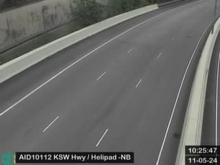 WorkingStill imageKong Sham Western Highway near Helipad - Northbound, Hong Kong
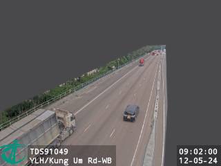 WorkingStill imageYuen Long Highway near Kung Um Road - Westbound, Hong Kong
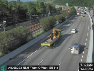 WorkingStill imageNorth Lantau Highway near Yan O Wan - Eastbound (1), Hong Kong
 WorkingStill imageYuen Long Highway near Kung Um Road - Eastbound, Hong Kong
 WorkingStill imageTM-CLK Tunnel Southern Portal, Hong Kong
 WorkingStill imageNorth Lantau Highway near Sunny Bay, Hong Kong
 WorkingStill imageNorth Lantau Highway near Yan O Wan - Westbound (2), Hong Kong
 WorkingStill imageNorth Lantau Highway near Yan O Wan - Eastbound (2), Hong Kong
 WorkingStill imageKong Sham Western Highway near Helipad - Southbound, Hong Kong
 WorkingStill imageHZMB Hong Kong Port Outbound Private Car Clearance Plaza, Hong Kong
 WorkingStill imageNorth Lantau Highway near Yan O Wan - Westbound (1), Hong Kong
 WorkingStill imageCastle Peak Rd-Ping Shan near Ping Shan Light Rail Stop - Eastbound, Hong Kong
 WorkingStill imageTuen Mun Road near Sham Tseng - Eastbound (5), Hong Kong
 WorkingStill imageLong Tin Road near Tong Yan San Tsuen Interchange - Northbound, Hong Kong
 WorkingStill imageNorth Lantau Highway near Siu Ho Wan Sewage Treatment Works - Eastbound, Hong Kong
 WorkingStill imageLong Tin Road near Tong Yan San Tsuen Interchange - Southbound, Hong Kong
 WorkingStill imageYuen Long Highway near Sham Chung Village - Westbound, Hong Kong
 WorkingStill imageYuen Long Highway near Sham Chung Tsuen - Eastbound, Hong Kong
 WorkingStill imageNorth Lantau Highway near Siu Ho Wan Sewage Treatment Works - Westbound, Hong Kong
 WorkingStill imageLantau Link near Toll Plaza, Hong Kong
 WorkingStill imageTuen Mun Road near Sham Tseng - Westbound (4), Hong Kong
 WorkingStill imageKong Sham Western Highway near Ngau Hom Shek E&M Plant Room - Northbound, Hong Kong
 WorkingStill imageKong Sham Western Highway near Ngau Hom Shek E&M Plant Room - Southbound, Hong Kong
 WorkingStill imageCastle Peak Rd-Ping Shan near Long Tin Road - Westbound, Hong Kong
 WorkingStill imagePenny's Bay Highway near North Lantau Highway - Southbound, Hong Kong
 WorkingStill imageNorth Lantau Highway near MTR Siu Ho Wan Depot - Eastbound (3), Hong Kong
 WorkingStill imageTuen Mun Road near Sham Tseng - Eastbound (4), Hong Kong
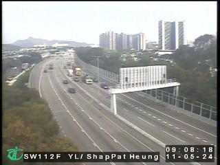 WorkingStill imageYuen Long Highway near Shap Pat Heung, Hong Kong
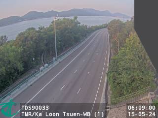 IntermittentStill imageTuen Mun Road near Ka Loon Tsuen - Westbound (1), Hong Kong
No live video among these cameras. Turn off "Live video only" to see them all.
Best cams to watch
- Tuen Mun Road near Chi Lok Fa Yuen - Southbound, Hong Kong — Still image · every 2 min, working 100 % of the time in the last 30 days.
- Tuen Mun Road near Siu Hong MTR Station - Northbound (1), Hong Kong — Still image · every 2 min, working 100 % of the time in the last 30 days.
- Yuen Long Highway near Hung Tin Road - Westbound (1), Hong Kong — Still image · every 2 min, working 100 % of the time in the last 30 days.
Nearby places
- Shenzhen (1008)
- Hong Kong (999)
- Victoria (990)
- Tsuen Wan (901)
- Tuen Mun (832)
- Tsing Yi Town (826)
- Kwai Chung (793)
- Sha Tin (701)
Questions about Sam Shing
How many webcams can I watch in Sam Shing?
LiveLocation lists 170 cameras in and around Sam Shing, Hong Kong: 0 live video, 170 still images. 169 of them were live or showing a fresh image at the last check.
Where do the Sam Shing cameras come from?
All of them come from Hong Kong Transport Department (170). Each camera plays straight from the agency or owner that runs it, with credit. Hong Kong Transport Department
What kinds of views are there in Sam Shing?
All of them show traffic and highway (170). Good ones to start with: Tuen Mun Road near Chi Lok Fa Yuen - Southbound, Hong Kong and Tuen Mun Road near Siu Hong MTR Station - Northbound (1), Hong Kong. Tuen Mun Road near Chi Lok Fa Yuen - Southbound, Hong Kong Tuen Mun Road near Siu Hong MTR Station - Northbound (1), Hong Kong
Is there live video from Sam Shing?
Not yet: the cameras here send still images that refresh about every 2 minutes. The map can show only live-video cameras nearby. Live video on the map
When is the best time to watch the Sam Shing cameras?
Sam Shing is on Asia/Hong Kong time. On October 8 the sun rises at 6:17 AM and sets at 6:05 PM, so still images are clearest between those times. Road cameras show the most traffic in the weekday morning and evening rush hours.
Are there live cameras near Sam Shing?
The nearest are Tuen Mun (1.4 km away, 832 cameras), Butterfly (1.8 km away, 131 cameras) and Tuen Mun San Hui (2.0 km away, 162 cameras). Tuen Mun Butterfly Tuen Mun San Hui
Is there a map of the cameras in Sam Shing?
The map at the top of this page shows all 170 of them. The live camera radar centers on Sam Shing and lists every camera within 5 to 250 km, nearest first, with filters for live video, traffic, nature and more. Open the radar on Sam Shing
Place names and locations: GeoNames, licensed under CC BY 4.0.