Live cameras in San Tin, Hong Kong
105 cameras: 0 live video, 105 still images · 105 working now · updated Oct 8, 05:59 UTC
San Tin has 105 live cameras on LiveLocation right now: 0 live video, 105 still images. Good places to start: San Sham Road Roundabout, Hong Kong, Fanling Highway near Fanling Recreation Ground - Eastbound, Hong Kong, San Tin Highway near Mai Po Lung - Southbound, Hong Kong. Local time is 1:59 PM (Asia/Hong Kong). Today the sun rises at 6:17 AM and sets at 6:05 PM.
San Tin live cameras
San Tin live cameras, all in one place: 0 live video, 105 still images. 105 of them were live or fresh at the last check. San Tin is home to about 20,000 people.
Weather now in San Tin: 28 °C (83 °F), partly cloudy, wind 13 km/h (8 mph) from the east. Forecast for 2 PM local time. Weather: MET Norway (CC BY 4.0)
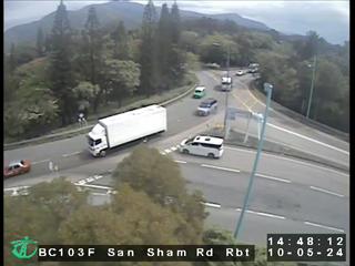 WorkingStill imageSan Sham Road Roundabout, Hong Kong
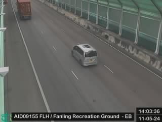 WorkingStill imageFanling Highway near Fanling Recreation Ground - Eastbound, Hong Kong
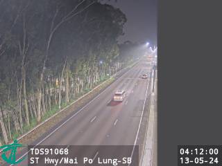 WorkingStill imageSan Tin Highway near Mai Po Lung - Southbound, Hong Kong
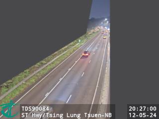 WorkingStill imageSan Tin Highway near Tsing Lung Tsuen - Northbound, Hong Kong
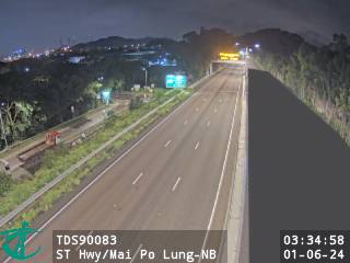 WorkingStill imageSan Tin Highway near Mai Po Lung - Northbound, Hong Kong
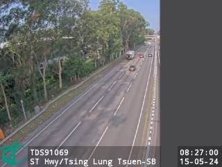 WorkingStill imageSan Tin Highway near Tsing Lung Tsuen - Southbound, Hong Kong
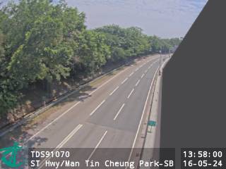 WorkingStill imageSan Tin Highway near Man Tin Cheung Park - Southbound, Hong Kong
 WorkingStill imageSan Tin Highway near Man Tin Cheung Park - Northbound, Hong Kong
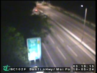 WorkingStill imageSan Tin Highway near Mai Po, Hong Kong
 WorkingStill imageSan Tin Highway near San Tin Soccer Pitch - Northbound, Hong Kong
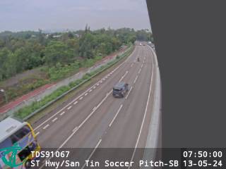 WorkingStill imageSan Tin Highway near San Tin Soccer Pitch - Southbound, Hong Kong
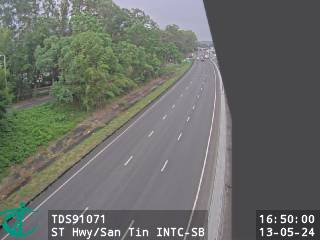 WorkingStill imageSan Tin Highway near San Tin Interchange - Southbound, Hong Kong
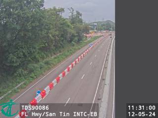 WorkingStill imageFanling Highway near San Tin Interchange - Eastbound, Hong Kong
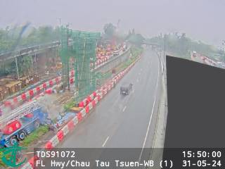 WorkingStill imageFanling Highway near Chau Tau Tsuen - Westbound (1), Hong Kong
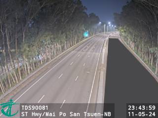 WorkingStill imageSan Tin Highway near Mai Po San Tsuen - Northbound, Hong Kong
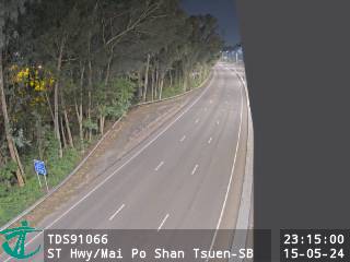 WorkingStill imageSan Tin Highway near Mai Po Shan Tsuen - Southbound, Hong Kong
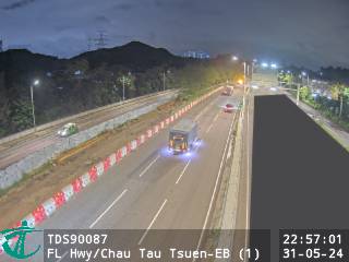 WorkingStill imageFanling Highway near Chau Tau Tsuen - Eastbound (1), Hong Kong
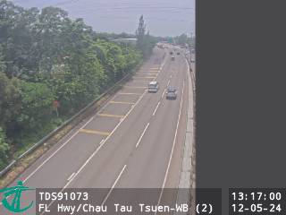 WorkingStill imageFanling Highway near Chau Tau Tsuen - Westbound (2), Hong Kong
 WorkingStill imageCastle Peak Road near Mai Po, Hong Kong
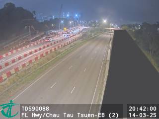 WorkingStill imageFanling Highway near Chau Tau Tsuen - Eastbound (2), Hong Kong
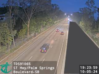 WorkingStill imageSan Tin Highway near Palm Springs Boulevard - Southbound, Hong Kong
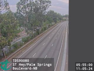 WorkingStill imageSan Tin Highway near Palm Springs Boulevard - Northbound, Hong Kong
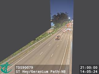 WorkingStill imageSan Tin Highway near Geranium Path - Northbound, Hong Kong
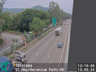 WorkingStill imageSan Tin Highway near Geranium Path - Southbound, Hong Kong
 WorkingStill imageFanling Highway near Kwu Tung - Westbound (1), Hong Kong
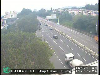 WorkingStill imageFanling Highway near Kwu Tung, Hong Kong
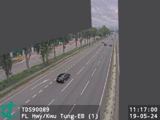 WorkingStill imageFanling Highway near Kwu Tung - Eastbound (1), Hong Kong
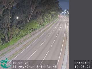 WorkingStill imageSan Tin Highway near Chun Shin Road - Northbound, Hong Kong
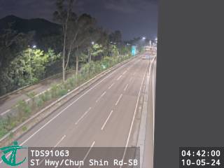 WorkingStill imageSan Tin Highway near Chun Shin Road - Southbound, Hong Kong
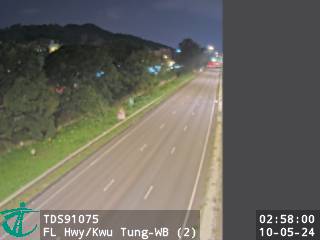 WorkingStill imageFanling Highway near Kwu Tung - Westbound (2), Hong Kong
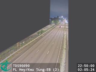 WorkingStill imageFanling Highway near Kwu Tung - Eastbound (2), Hong Kong
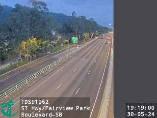 WorkingStill imageSan Tin Highway near Fairview Park Boulevard - Southbound, Hong Kong
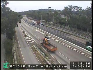 WorkingStill imageSan Tin Highway near Fairview Park, Hong Kong
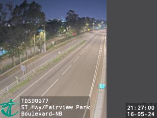 WorkingStill imageSan Tin Highway near Fairview Park Boulevard - Northbound, Hong Kong
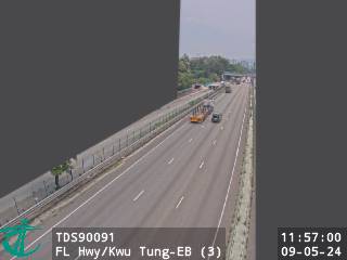 WorkingStill imageFanling Highway near Kwu Tung - Eastbound (3), Hong Kong
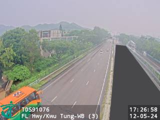 WorkingStill imageFanling Highway near Kwu Tung - Westbound (3), Hong Kong
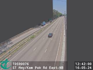 WorkingStill imageSan Tin Highway near Kam Pok Road East - Northbound, Hong Kong
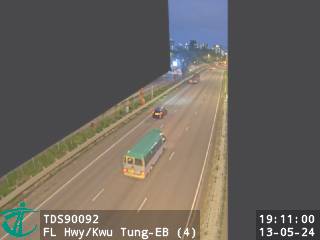 WorkingStill imageFanling Highway near Kwu Tung - Eastbound (4), Hong Kong
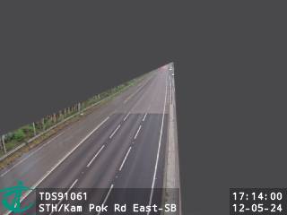 WorkingStill imageSan Tin Highway near Kam Pok Road East - Southbound, Hong Kong
 WorkingStill imageFanling Highway near Kwu Tung - Westbound (4), Hong Kong
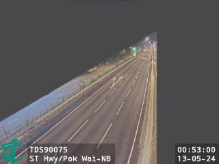 WorkingStill imageSan Tin Highway near Pok Wai - Northbound, Hong Kong
 WorkingStill imageSan Tin Highway near Pok Wai - Southbound, Hong Kong
 WorkingStill imageFanling Highway near Golf Parkview - Eastbound, Hong Kong
 WorkingStill imageFanling Highway near Golf Parkview - Westbound, Hong Kong
 WorkingStill imageSan Tin Highway near Mo Fan Heung - Northbound, Hong Kong
 WorkingStill imageSan Tin Highway near Mo Fan Heung - Southbound, Hong Kong
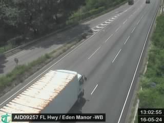 WorkingStill imageFanling Highway near Eden Manor - Westbound, Hong Kong
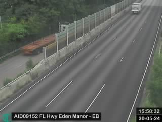 WorkingStill imageFanling Highway near Eden Manor - Eastbound, Hong Kong
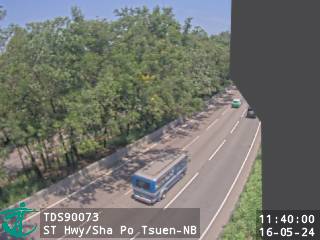 WorkingStill imageSan Tin Highway near Sha Po Tsuen - Northbound, Hong Kong
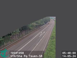 WorkingStill imageSan Tin Highway near Sha Po Tsuen - Southbound, Hong Kong
 WorkingStill imageFanling Highway near Sheung Shui Roundabout, Hong Kong
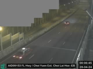 WorkingStill imageFanling Highway near Choi Yuen Estate Choi Lai House - Eastbound, Hong Kong
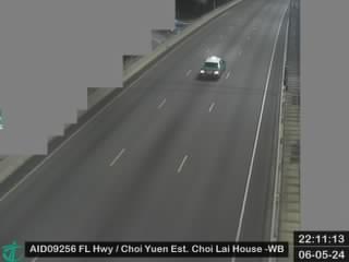 WorkingStill imageFanling Highway near Choi Yuen Estate Choi Lai House - Westbound, Hong Kong
 WorkingStill imageTsing Long Highway near Yuen Long Highway - Southbound (3), Hong Kong
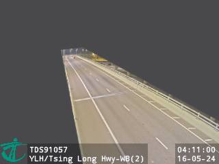 WorkingStill imageYuen Long Highway near Tsing Long Highway - Westbound (2), Hong Kong
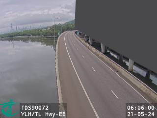 WorkingStill imageYuen Long Highway near Tsing Long Highway - Eastbound, Hong Kong
 WorkingStill imageFanling Highway near Pak Wo Road, Hong Kong
 WorkingStill imageSan Wan Road near Lung Sum Avenue, Hong Kong
 WorkingStill imageTsing Long Highway near Castle Peak Road (Yuen Long) - Northbound (2), Hong Kong
 WorkingStill imageFanling Highway near Entrance from So Kwun Po Road - Westbound, Hong Kong
 WorkingStill imageFanling Highway near So Kwun Po Road - Eastbound, Hong Kong
 WorkingStill imageTsing Long Highway near Yuen Long Highway - Southbound (2), Hong Kong
 WorkingStill imageYuen Long Highway near Tsing Long Highway - Westbound (1), Hong Kong
 WorkingStill imageYuen Long Highway near Long Fai Road - Eastbound, Hong Kong
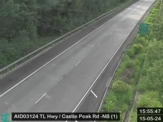 WorkingStill imageTsing Long Highway near Castle Peak Road (Yuen Long) - Northbound (1), Hong Kong
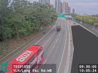 WorkingStill imageYuen Long Highway near Long Fai Road - Westbound, Hong Kong
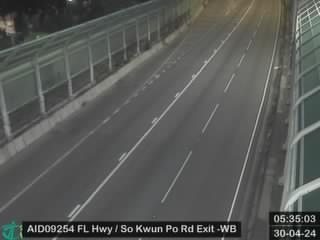 WorkingStill imageFanling Highway near Exit to So Kwun Po Road - Westbound, Hong Kong
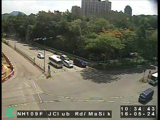 WorkingStill imageJockey Club Road near Ma Sik Road, Hong Kong
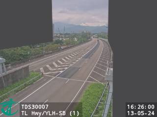 WorkingStill imageTsing Long Highway near Yuen Long Highway - Southbound (1), Hong Kong
 WorkingStill imageTsing Long Highway near Kam Tin Road - Northbound (3), Hong Kong
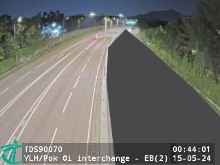 WorkingStill imageYuen Long Highway near Pok Oi Interchange - Eastbound (2), Hong Kong
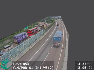 WorkingStill imageYuen Long Highway near Pok Oi Interchange - Westbound (2), Hong Kong
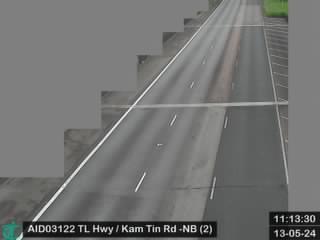 WorkingStill imageTsing Long Highway near Kam Tin Road - Northbound (2), Hong Kong
 WorkingStill imageTsing Long Highway near Au Tau Treatment Works - Southbound, Hong Kong
 WorkingStill imageFanling Highway near Fanling Station - Westbound, Hong Kong
 WorkingStill imageFanling Bypass - Eastbound (9), Hong Kong
 WorkingStill imageYuen Long Highway near Pok Oi Interchange, Hong Kong
 WorkingStill imageCastle Peak Road near Pok Oi Interchange, Hong Kong
 WorkingStill imageFanling Highway near MTR Fanling Station, Hong Kong
 WorkingStill imageTsing Long Highway near Ko Po San Tsuen, Hong Kong
 WorkingStill imageTsing Long Highway near Kam Tin Road - Northbound (1), Hong Kong
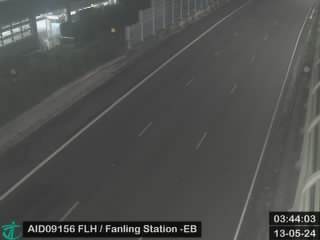 WorkingStill imageFanling Highway near Fanling Station - Eastbound, Hong Kong
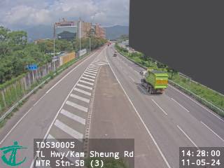 WorkingStill imageTsing Long Highway near Kam Sheung Road MTR Station - Southbound (3), Hong Kong
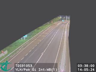 WorkingStill imageYuen Long Highway near Pok Oi Interchange - Westbound (1), Hong Kong
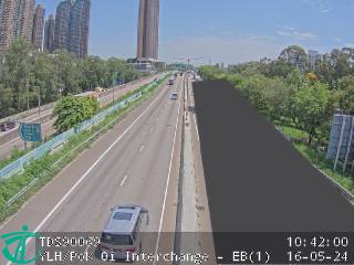 WorkingStill imageYuen Long Highway near Pok Oi Interchange - Eastbound (1), Hong Kong
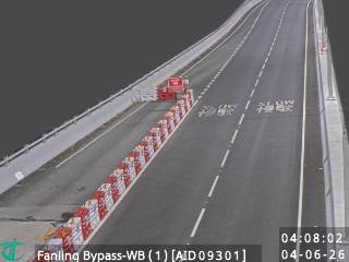 WorkingStill imageFanling Bypass - Westbound (1), Hong Kong
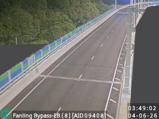 WorkingStill imageFanling Bypass - Eastbound (8), Hong Kong
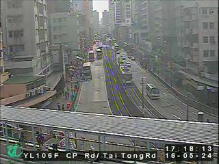 WorkingStill imageCastle Peak Road nearYuen Long, Hong Kong
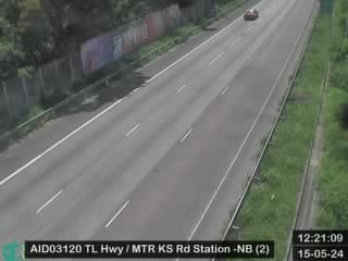 WorkingStill imageTsing Long Highway near MTR Kam Sheung Road Station - Northbound (2), Hong Kong
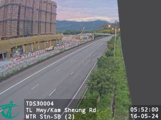 WorkingStill imageTsing Long Highway near Kam Sheung Road MTR Station - Southbound (2), Hong Kong
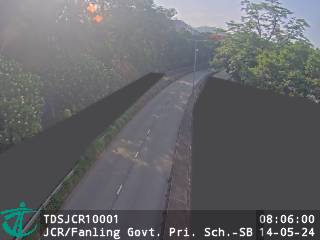 WorkingStill imageJockey Club Road near Fanling Government Primary School - Southbound, Hong Kong
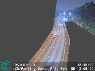 WorkingStill imageJockey Club Road near Fanling Government Primary School - Northbound, Hong Kong
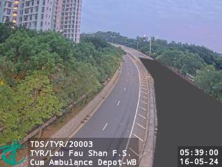 WorkingStill imageTin Ying Road near Lau Fau Shan Fire Station Cum Ambulance Depot - Westbound, Hong Kong
 WorkingStill imageFanling Highway near Fanling Centre - Westbound, Hong Kong
 WorkingStill imageFanling Bypass - Eastbound (7), Hong Kong
 WorkingStill imageTsing Long Highway near MTR Kam Sheung Road Station - Northbound (1), Hong Kong
 WorkingStill imageFanling Bypass - Westbound (2), Hong Kong
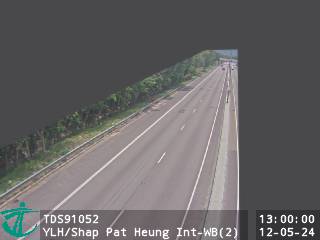 WorkingStill imageYuen Long Highway near Shap Pat Heung Interchange - Westbound (2), Hong Kong
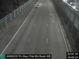 WorkingStill imageFanling Highway near Avon Park - Eastbound, Hong Kong
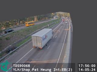 WorkingStill imageYuen Long Highway near Shap Pat Heung Interchange - Eastbound (2), Hong Kong
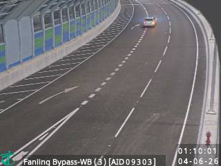 WorkingStill imageFanling Bypass - Westbound (3), Hong Kong
 WorkingStill imageFanling Bypass - Eastbound (6), Hong Kong
 WorkingStill imageFanling Bypass - Westbound (6), Hong Kong
 WorkingStill imageFanling Bypass - Eastbound (4), Hong Kong
 WorkingStill imageSha Tau Kok Road near Ma Sik Road, Hong Kong
No live video among these cameras. Turn off "Live video only" to see them all.
Best cams to watch
- San Sham Road Roundabout, Hong Kong — Still image · every 2 min, working 100 % of the time in the last 30 days.
- Fanling Highway near Fanling Recreation Ground - Eastbound, Hong Kong — Still image · every 2 min, working 100 % of the time in the last 30 days.
- San Tin Highway near Mai Po Lung - Southbound, Hong Kong — Still image · every 2 min.
Nearby places
- Shenzhen (1008)
- Hong Kong (999)
- Victoria (990)
- Tsuen Wan (901)
- Tuen Mun (832)
- Tsing Yi Town (826)
- Kwai Chung (793)
- Sha Tin (701)
Questions about San Tin
How many live cameras are there in San Tin?
LiveLocation lists 105 cameras in and around San Tin, Hong Kong: 0 live video, 105 still images. 105 of them were live or showing a fresh image at the last check.
Where do the San Tin cameras come from?
All of them come from Hong Kong Transport Department (105). Each camera plays straight from the agency or owner that runs it, with credit. Hong Kong Transport Department
What kinds of views are there in San Tin?
All of them show traffic and highway (105). Good ones to start with: San Sham Road Roundabout, Hong Kong and Fanling Highway near Fanling Recreation Ground - Eastbound, Hong Kong. San Sham Road Roundabout, Hong Kong Fanling Highway near Fanling Recreation Ground - Eastbound, Hong Kong
Is there live video from San Tin?
Not yet: the cameras here send still images that refresh about every 2 minutes. The map can show only live-video cameras nearby. Live video on the map
When is the best time to watch the San Tin cameras?
San Tin is on Asia/Hong Kong time. On October 8 the sun rises at 6:17 AM and sets at 6:05 PM, so still images are clearest between those times. Road cameras show the most traffic in the weekday morning and evening rush hours.
Are there live cameras near San Tin?
The nearest are Shenzhen City Centre (3.9 km away, 242 cameras), Shawei (4.2 km away, 56 cameras) and Gangxia (4.4 km away, 45 cameras). Shenzhen City Centre Shawei Gangxia
Is there a map of the cameras in San Tin?
The map at the top of this page shows all 105 of them. The live camera radar centers on San Tin and lists every camera within 5 to 250 km, nearest first, with filters for live video, traffic, nature and more. Open the radar on San Tin
Place names and locations: GeoNames, licensed under CC BY 4.0.