Live cameras in Ting Kau, Hong Kong
174 cameras: 0 live video, 174 still images · 173 working now · updated Oct 8, 05:59 UTC
Ting Kau has 174 live cameras on LiveLocation right now: 0 live video, 174 still images. Good places to start: Tsing Long Highway near Royal View Hotel - Northbound, Hong Kong, Tuen Mun Road near Ting Kau - Eastbound (2), Hong Kong, Cheung Pei Shan Road near Discovery Park - Westbound, Hong Kong. Local time is 1:59 PM (Asia/Hong Kong). Today the sun rises at 6:17 AM and sets at 6:05 PM.
Ting Kau live cameras
Watch Ting Kau live webcams: 0 live video, 174 still images. 173 of them were live or fresh at the last check. Ting Kau is home to about 17,000 people.
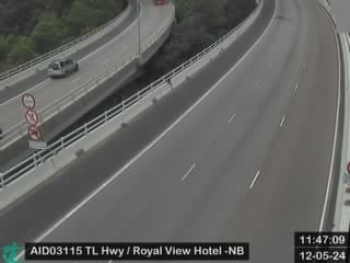 WorkingStill imageTsing Long Highway near Royal View Hotel - Northbound, Hong Kong
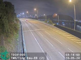 WorkingStill imageTuen Mun Road near Ting Kau - Eastbound (2), Hong Kong
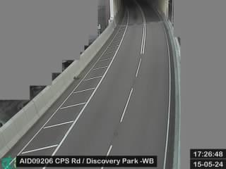 WorkingStill imageCheung Pei Shan Road near Discovery Park - Westbound, Hong Kong
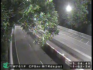 WorkingStill imageCheung Pei Shan Road near Mei Wan Street, Hong Kong
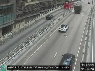 WorkingStill imageTsuen Wan Road near Tsuen Wan Driving Test Centre - Northbound, Hong Kong
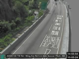 WorkingStill imageTsuen Wan Road near Wing Kei Road 5-A-Side Soccer Pitch - Northbound, Hong Kong
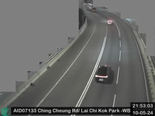 WorkingStill imageChing Cheung Road near Lai Chi Kok Park Sports Centre - Westbound, Hong Kong
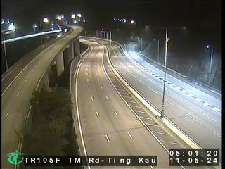 WorkingStill imageTuen Mun Road - Ting Kau Section, Hong Kong
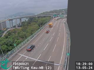 WorkingStill imageTuen Mun Road near Ting Kau - Westbound (2), Hong Kong
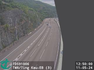 WorkingStill imageTuen Mun Road near Ting Kau - Eastbound (3), Hong Kong
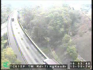 WorkingStill imageTuen Mun Road to Ting Kau Bridge, Hong Kong
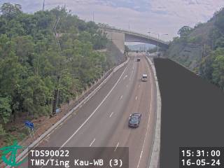 WorkingStill imageTuen Mun Road near Ting Kau - Westbound (3), Hong Kong
 WorkingStill imageTsing Long Highway near Tai Lam Tunnel Entrance from Kowloon - Northbound, Hong Kong
 WorkingStill imageTuen Mun Road near Ting Kau - Westbound (1), Hong Kong
 WorkingStill imageTuen Mun Road near Ting Kau - Eastbound (4), Hong Kong
 WorkingStill imageTuen Mun Road near Ting Kau - Eastbound (1), Hong Kong
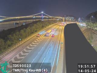 WorkingStill imageTuen Mun Road near Ting Kau - Westbound (4), Hong Kong
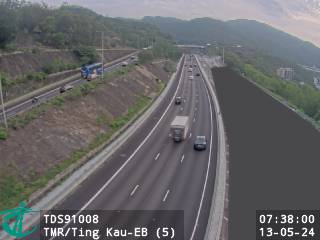 WorkingStill imageTuen Mun Road near Ting Kau - Eastbound (5), Hong Kong
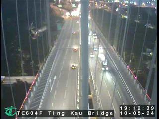 WorkingStill imageTing Kau Bridge, Hong Kong
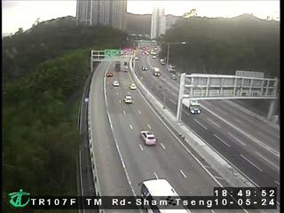 WorkingStill imageTuen Mun Road - Sham Tseng Section, Hong Kong
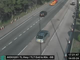 WorkingStill imageTsing Long Highway near Tai Lam Tunnel exit to Kowloon - Southbound, Hong Kong
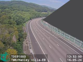 WorkingStill imageTuen Mun Road near Hanley Villa - Eastbound, Hong Kong
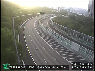 WorkingStill imageTuen Mun Road - Yau Kom Tau Section, Hong Kong
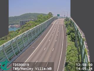 WorkingStill imageTuen Mun Road near Hanley Villa - Westbound, Hong Kong
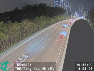 WorkingStill imageTuen Mun Road near Ting Kau - Westbound (5), Hong Kong
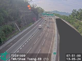 WorkingStill imageTuen Mun Road near Sham Tseng - Eastbound (1), Hong Kong
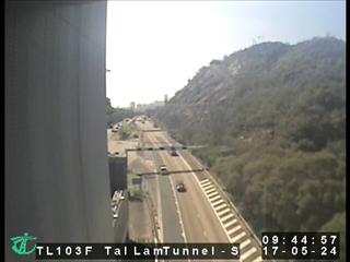 WorkingStill imageTai Lam Tunnel - Ting Kau Side, Hong Kong
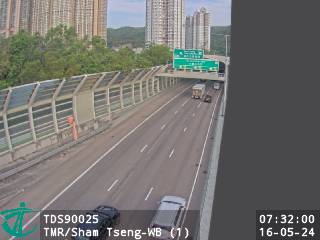 WorkingStill imageTuen Mun Road near Sham Tseng - Westbound (1), Hong Kong
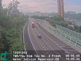 WorkingStill imageTuen Mun Road near Yau Kom Tau No. 2 Fresh Water Service Reservoir - Eastbound, Hong Kong
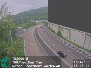 WorkingStill imageTuen Mun Road near Yau Kom Tau Water Treatment Works - Westbound, Hong Kong
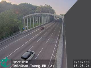 WorkingStill imageTuen Mun Road near Sham Tseng - Eastbound (2), Hong Kong
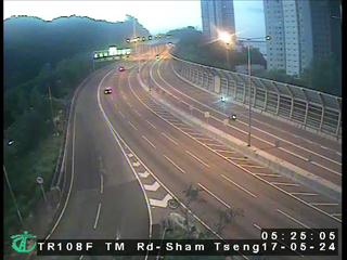 WorkingStill imageTuen Mun Road - Sham Tseng Interchange, Hong Kong
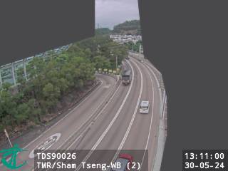 WorkingStill imageTuen Mun Road near Sham Tseng - Westbound (2), Hong Kong
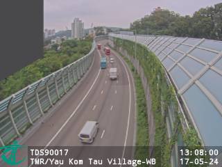 WorkingStill imageTuen Mun Road near Yau Kom Tau Village - Westbound, Hong Kong
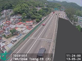 WorkingStill imageTuen Mun Road near Sham Tseng - Eastbound (3), Hong Kong
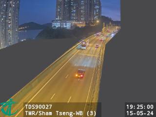 WorkingStill imageTuen Mun Road near Sham Tseng - Westbound (3), Hong Kong
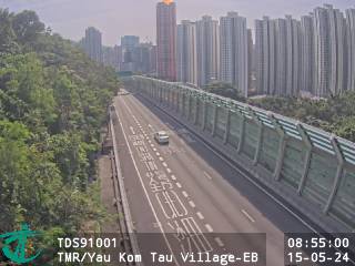 WorkingStill imageTuen Mun Road near Yau Kom Tau Village - Eastbound, Hong Kong
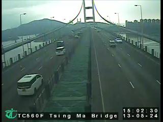 WorkingStill imageTsing Ma Bridge, Hong Kong
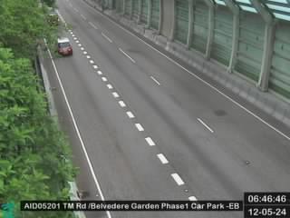 WorkingStill imageTuen Mun Road near Belvedere Garden Phase 1 Car Park -Eastbound, Hong Kong
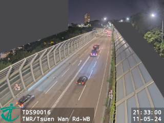 WorkingStill imageTuen Mun Road near Tsuen Wan Road - Westbound, Hong Kong
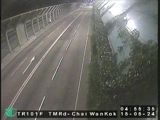 WorkingStill imageTuen Mun Road - Chai Wan Kok, Hong Kong
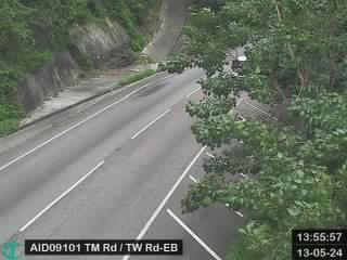 WorkingStill imageTuen Mun Road near Tsuen Wan Road - Eastbound, Hong Kong
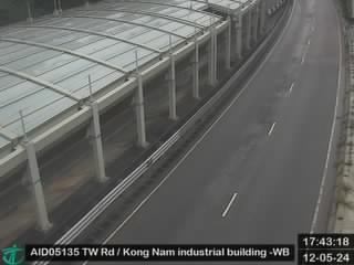 WorkingStill imageTsuen Wan Road near Kong Nam industrial building - Westbound, Hong Kong
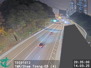 WorkingStill imageTuen Mun Road near Sham Tseng - Eastbound (4), Hong Kong
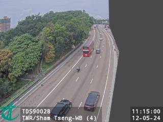 WorkingStill imageTuen Mun Road near Sham Tseng - Westbound (4), Hong Kong
 WorkingStill imageTuen Mun Road near Chai Wan Kok Cooked Food Market - Eastbound, Hong Kong
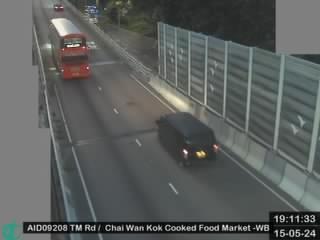 WorkingStill imageTuen Mun Road near Chai Wan Kok Cooked Food Market - Westbound, Hong Kong
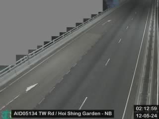 WorkingStill imageTsuen Wan Road near Hoi Shing Garden - Northbound, Hong Kong
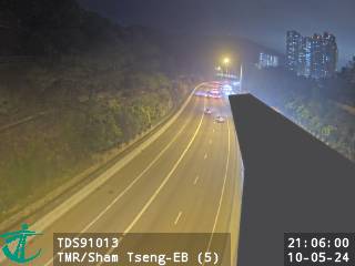 WorkingStill imageTuen Mun Road near Sham Tseng - Eastbound (5), Hong Kong
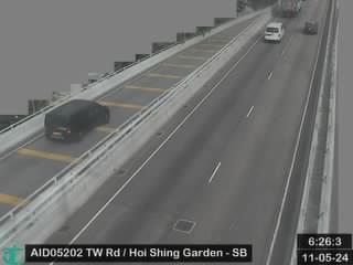 WorkingStill imageTsuen Wan Road near Hoi Shing Garden - Southbound, Hong Kong
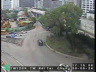 WorkingStill imageTsuen Wan Road near Tai Chung Road, Hong Kong
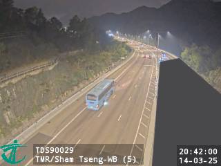 WorkingStill imageTuen Mun Road near Sham Tseng - Westbound (5), Hong Kong
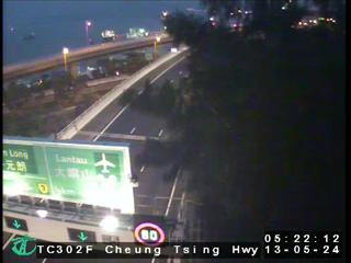 WorkingStill imageCheung Tsing Highway near Kam Chuk Kok, Hong Kong
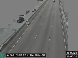 WorkingStill imageCheung Pei Shan Road near The Mills - Eastbound, Hong Kong
 WorkingStill imageTsuen Wan Road near Tsuen Wan West MTR Station - Northbound, Hong Kong
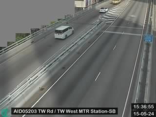 WorkingStill imageTsuen Wan Road near Tsuen Wan West MTR Station - Southbound, Hong Kong
 WorkingStill imageCheung Pei Shan Road near The Mills - Westbound, Hong Kong
 WorkingStill imageNam Wan Tunnel - Sai Tso Wan Side, Hong Kong
 WorkingStill imageTuen Mun Road near Sham Tseng - Eastbound (6), Hong Kong
 WorkingStill imageTuen Mun Road near Sham Tseng - Westbound (6), Hong Kong
 WorkingStill imageTsuen Wan Road near Tsuen Wan Sports Centre - Northbound, Hong Kong
 WorkingStill imageTsuen Wan Road near Tsuen Wan Sports Centre - Sorthbound, Hong Kong
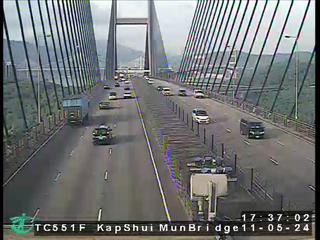 WorkingStill imageKap Shui Mun Bridge, Hong Kong
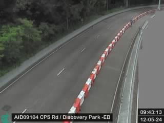 WorkingStill imageCheung Pei Shan Road near Discovery Park - Eastbound, Hong Kong
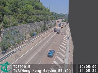 WorkingStill imageTuen Mun Road near Hong Kong Garden - Eastbound (1), Hong Kong
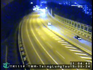 WorkingStill imageTuen Mun Road - near Tsing Lung Tau, Hong Kong
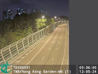 WorkingStill imageTuen Mun Road near Hong Kong Garden - Westbound (1), Hong Kong
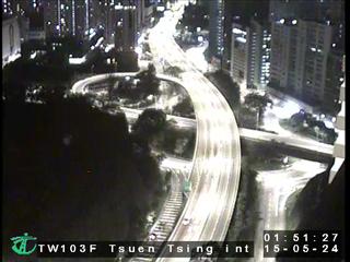 WorkingStill imageTsuen Wan Road near Tsuen Tsing Interchange, Hong Kong
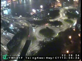 WorkingStill imageTsing Kwai Highway/Cheung Tsing Tunnel, Hong Kong
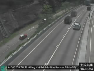 WorkingStill imageTsuen Wan Road near Wing Kei Road 5-A-Side Soccer Pitch - Southbound (1), Hong Kong
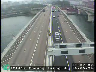 WorkingStill imageCheung Tsing Bridge, Hong Kong
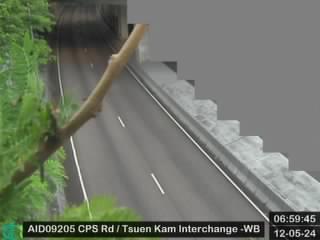 WorkingStill imageCheung Pei Shan Road near Tsuen Kam Interchange - Westbound, Hong Kong
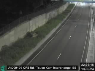 WorkingStill imageCheung Pei Shan Road near Tsuen Kam Interchange - Eastbound, Hong Kong
 WorkingStill imageTsuen Wan Road near Wing Kei Road 5-A-Side Soccer Pitch - Southbound (2), Hong Kong
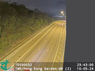 WorkingStill imageTuen Mun Road near Hong Kong Garden - Westbound (2), Hong Kong
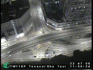 WorkingStill imageTexaco Road Flyover near Sha Tsui Road, Hong Kong
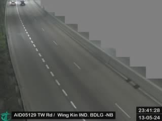 WorkingStill imageTsuen Wan Road near Wing Kin Industrial Building - Nouthbound, Hong Kong
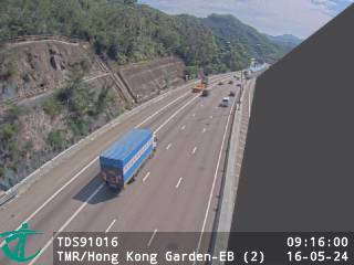 WorkingStill imageTuen Mun Road near Hong Kong Garden - Eastbound (2), Hong Kong
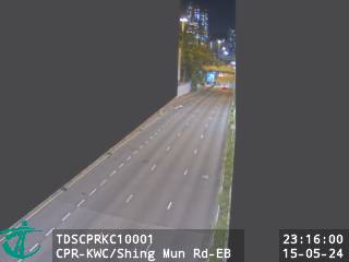 WorkingStill imageCastle Peak Rd-Kwai Chung near Shing Mun Road - Eastbound, Hong Kong
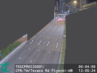 WorkingStill imageCastle Peak Rd-Tseun Wan near Texaco Road Flyover - Westbound, Hong Kong
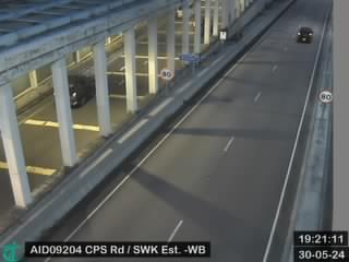 WorkingStill imageCheung Pei Shan Road near Shek Wai Kok Estate - Westbound, Hong Kong
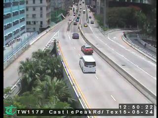 WorkingStill imageCastle Peak Road near Texaco Road North, Hong Kong
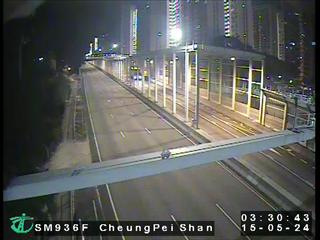 WorkingStill imageCheung Pei Shan Road, Hong Kong
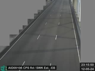 WorkingStill imageCheung Pei Shan Road near Shek Wai Kok Estate - Eastbound, Hong Kong
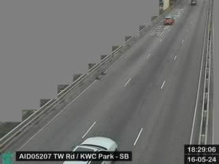 WorkingStill imageTsuen Wan Road near Kwai Chung Park - Southbound, Hong Kong
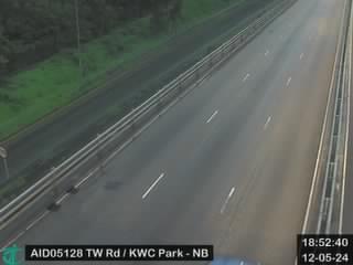 WorkingStill imageTsuen Wan Road near Kwai Chung Park - Northbound, Hong Kong
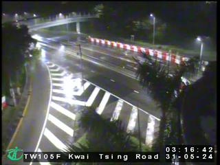 WorkingStill imageKwai Tsing Road near Tsing Yi Bridge, Hong Kong
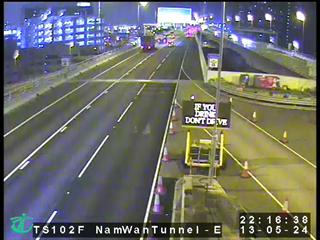 WorkingStill imageNam Wan Tunnel- Stonecutters Bridge side, Hong Kong
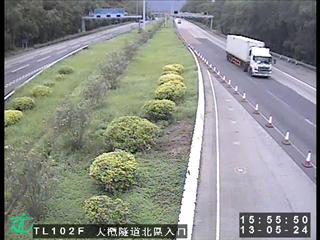 WorkingStill imageTai Lam Tunnel - Yuen Long Side, Hong Kong
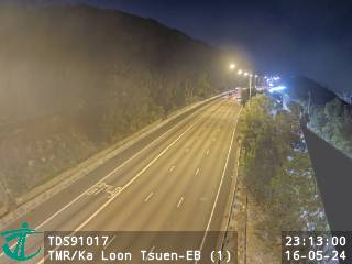 WorkingStill imageTuen Mun Road near Ka Loon Tsuen - Eastbound (1), Hong Kong
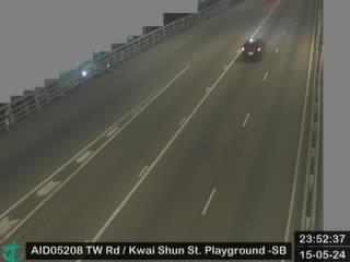 WorkingStill imageTsuen Wan Road near Kwai Shun Street Playground - Southbound, Hong Kong
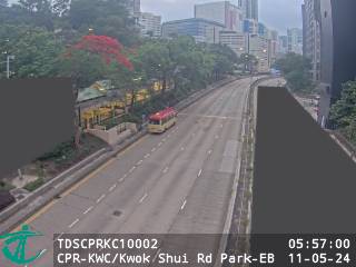 WorkingStill imageCastle Peak Rd-Kwai Chung near Kwok Shui Road Park - Eastbound, Hong Kong
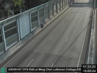 WorkingStill imageCheung Pei Shan Road near Lui Ming Choi Lutheran College - Eastbound, Hong Kong
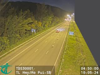 WorkingStill imageTsing Long Highway near Ho Pui - Southbound, Hong Kong
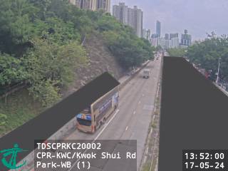 WorkingStill imageCastle Peak Rd-Kwai Chung near Kwok Shui Road Park - Westbound (1), Hong Kong
 WorkingStill imageCheung Pei Shan Road near Lui Ming Choi Lutheran College - Westbound, Hong Kong
 WorkingStill imageKwai Chung Road near Lai King Estate - Northbound, Hong Kong
 WorkingStill imageKwai Chung Road near Lai King MTR Station - Southbound (1), Hong Kong
 WorkingStill imageKwai Chung Road near Lai King MTR Station - Nouthbound, Hong Kong
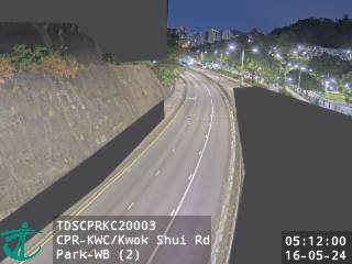 WorkingStill imageCastle Peak Rd-Kwai Chung near Kwok Shui Road Park - Westbound (2), Hong Kong
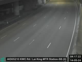 WorkingStill imageKwai Chung Road near Lai King MTR Station - Southbound (2), Hong Kong
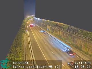 WorkingStill imageTuen Mun Road near Ka Loon Tsuen - Westbound (2), Hong Kong
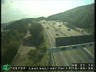 WorkingStill imageLantau Link near Toll Plaza, Hong Kong
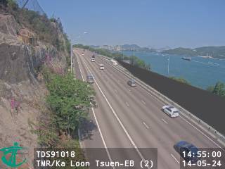 WorkingStill imageTuen Mun Road near Ka Loon Tsuen - Eastbound (2), Hong Kong
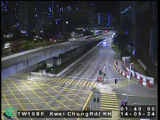 WorkingStill imageKwai Chung Road near Kwai Hing MTR Station, Hong Kong
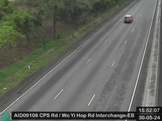 WorkingStill imageCheung Pei Shan Road near Wo Yi Hop Road Interchange - Eastbound, Hong Kong
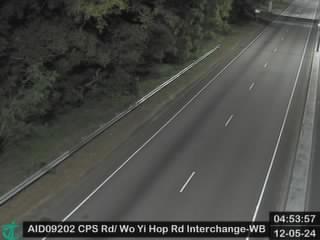 WorkingStill imageCheung Pei Shan Road near Wo Yi Hop Road Interchange - Westbound, Hong Kong
 WorkingStill imageKwai Chung Road near Hong Chi Winifred Mary Cheung Morninghope School - Southbound, Hong Kong
 WorkingStill imageCastle Peak Rd-Kwai Chung near Central Kwai Chung Park - Northbound (2), Hong Kong
 WorkingStill imageCastle Peak Road near Wo Yi Hop Road, Hong Kong
 WorkingStill imageCastle Peak Rd-Kwai Chung near Central Kwai Chung Park - Northbound (1), Hong Kong
 WorkingStill imageCastle Peak Rd-Kwai Chung near Tai Wo Interchange - Southbound, Hong Kong
 WorkingStill imageCastle Peak Rd-Kwai Chung near Yip Shing Street Playground - Southbound, Hong Kong
 WorkingStill imageWo Yi Hop Road near Lei Shu Road, Hong Kong
 WorkingStill imageKwai Chung Road near Hong Chi Winifred Mary Cheung Morninghope School - Northbound, Hong Kong
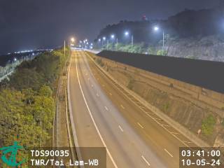 WorkingStill imageTuen Mun Road near Tai Lam - Westbound, Hong Kong
 WorkingStill imageCheung Pei Shan Road near Ho Fung College - Eastbound, Hong Kong
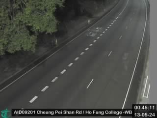 WorkingStill imageCheung Pei Shan Road near Ho Fung College - Westbound, Hong Kong
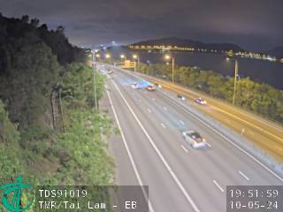 WorkingStill imageTuen Mun Road near Tai Lam - Eastbound, Hong Kong
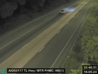 WorkingStill imageTsing Long Highway near MTR Pat Heung Maintenance Centre - Northbound (1), Hong Kong
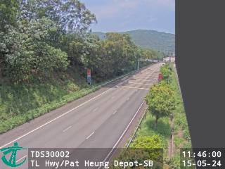 WorkingStill imageTsing Long Highway near Pat Heung Depot - Southbound, Hong Kong
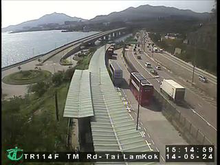 WorkingStill imageTuen Mun Road - Tai Lam Kok Section, Hong Kong
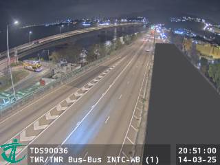 WorkingStill imageTuen Mun Road near Tuen Mun Road Bus-Bus Interchange - Westbound (1), Hong Kong
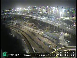 WorkingStill imageKwai Chung Road near Container Terminal, Hong Kong
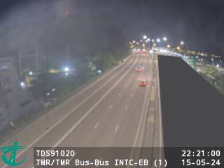 WorkingStill imageTuen Mun Road near Tuen Mun Road Bus-Bus Interchange - Eastbound (1), Hong Kong
 WorkingStill imageTsing Kwai Highway Near Container Port 4, Hong Kong
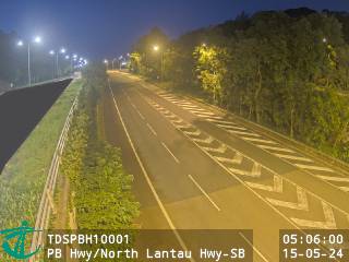 WorkingStill imagePenny's Bay Highway near North Lantau Highway - Southbound, Hong Kong
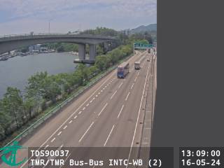 WorkingStill imageTuen Mun Road near Tuen Mun Road Bus-Bus Interchange - Westbound (2), Hong Kong
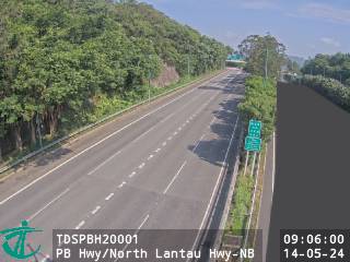 WorkingStill imagePenny's Bay Highway near North Lantau Highway - Northbound, Hong Kong
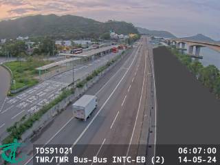 WorkingStill imageTuen Mun Road near Tuen Mun Road Bus-Bus Interchange - Eastbound (2), Hong Kong
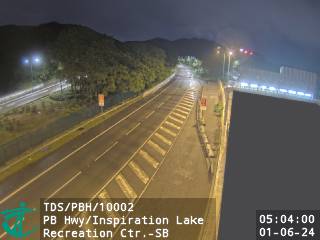 WorkingStill imagePenny's Bay Highway near Inspiration Lake Recreation Centre - Southbound, Hong Kong
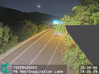 WorkingStill imagePenny's Bay Highway near Inspiration Lake Recreation Centre - Northbound, Hong Kong
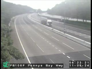 WorkingStill imagePenny's Bay Highway, Hong Kong
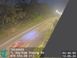 WorkingStill imageTsing Long Highway near Kam Sheung Road MTR Station - Southbound (1), Hong Kong
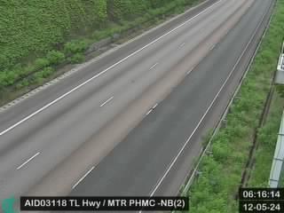 WorkingStill imageTsing Long Highway near MTR Pat Heung Maintenance Centre - Northbound (2), Hong Kong
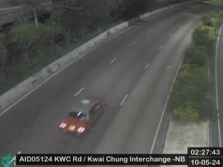 WorkingStill imageKwai Chung Road near Kwai Chung Interchange - Northbound, Hong Kong
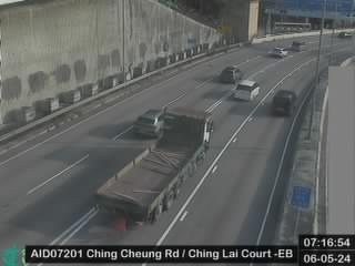 WorkingStill imageChing Cheung Road near Ching Lai Court - Eastbound, Hong Kong
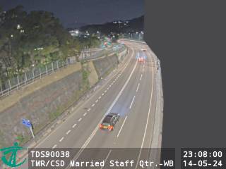 WorkingStill imageTuen Mun Road near Correctional Services Department Married Staff Quarters - Westbound, Hong Kong
 WorkingStill imageKwai Chung Road near Mei Foo MTR Station - Southbound, Hong Kong
 WorkingStill imageChing Cheung Road near Ching Lai Court - Westbound, Hong Kong
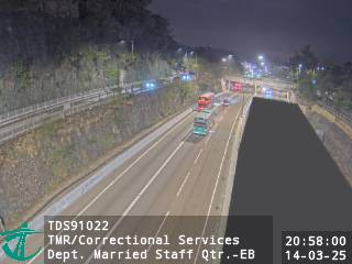 WorkingStill imageTuen Mun Road near Correctional Services Department Married Staff Quarters - Eastbound, Hong Kong
 WorkingStill imageTsing Kwai Highway near China Resources Int'l Logistics Centre - Southbound, Hong Kong
 WorkingStill imageTuen Mun Road near Tsing Lam Road - Westbound, Hong Kong
 WorkingStill imageTsing Long Highway near MTR Kam Sheung Road Station - Northbound (1), Hong Kong
 WorkingStill imageKwai Chung Road near Delia Memorial School (Glee Path) - Southbound, Hong Kong
 WorkingStill imageChing Cheung Road near CLP Substation - Eastbound, Hong Kong
 WorkingStill imageKwai Chung Road near Delia Memorial School (Glee Path) - Northbound, Hong Kong
 WorkingStill imageNorth Lantau Highway near Yan O Wan - Westbound (1), Hong Kong
 WorkingStill imageTuen Mun Road near Kwun Fat Street - Eastbound, Hong Kong
 WorkingStill imageChing Cheung Road near CLP Substation - Westbound, Hong Kong
 WorkingStill imageTsing Sha Highway near Lai Chi Kok, Hong Kong
 WorkingStill imageTsing Long Highway near Kam Sheung Road MTR Station - Southbound (2), Hong Kong
 WorkingStill imageKwai Chung Road near Mei Fo Sun Chuen, Hong Kong
 WorkingStill imageWest Kln Hwy near Hoi Lai Estate - Southbound, Hong Kong
 WorkingStill imageTsing Long Highway near MTR Kam Sheung Road Station - Northbound (2), Hong Kong
 WorkingStill imageKwai Chung Road near Lai Chi Kok Fire Station - Southbound, Hong Kong
 WorkingStill imageNorth Lantau Highway near Yan O Wan - Eastbound (2), Hong Kong
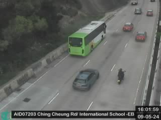 WorkingStill imageChing Cheung Road near International School - Eastbound, Hong Kong
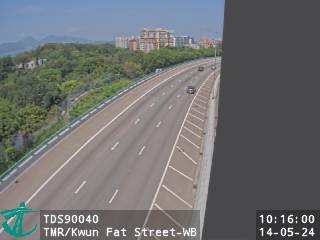 WorkingStill imageTuen Mun Road near Kwun Fat Street - Westbound, Hong Kong
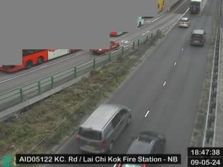 WorkingStill imageKwai Chung Road near Lai Chi Kok Fire Station- Northbound, Hong Kong
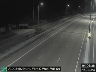 WorkingStill imageNorth Lantau Highway near Yan O Wan - Westbound (2), Hong Kong
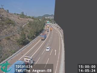 WorkingStill imageTuen Mun Road near The Aegean - Eastbound, Hong Kong
 WorkingStill imageChing Cheung Road near Dragon lndustrial Building - Eastbound, Hong Kong
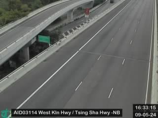 WorkingStill imageWest Kln Hwy near Tsing Sha Hwy - Northbound, Hong Kong
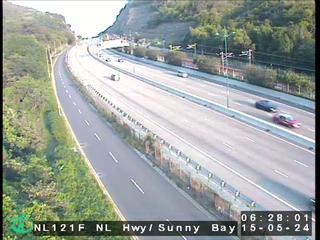 WorkingStill imageNorth Lantau Highway near Sunny Bay, Hong Kong
 WorkingStill imageTsing Long Highway near Kam Sheung Road MTR Station - Southbound (3), Hong Kong
 WorkingStill imageWest Kowloon Highway near Lai Wan Interchange, Hong Kong
 WorkingStill imageChing Cheung Road near Dragon lndustrial Building - Westbound, Hong Kong
 WorkingStill imageTsing Long Highway near Ko Po San Tsuen, Hong Kong
 WorkingStill imageTsing Long Highway near Kam Tin Road - Northbound (1), Hong Kong
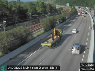 WorkingStill imageNorth Lantau Highway near Yan O Wan - Eastbound (1), Hong Kong
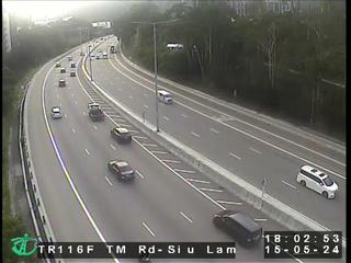 WorkingStill imageTuen Mun Road - Siu Lam Section, Hong Kong
 WorkingStill imageLai Chi Kok Road near Novel Industrial Building - Southbound, Hong Kong
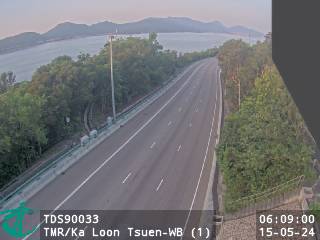 IntermittentStill imageTuen Mun Road near Ka Loon Tsuen - Westbound (1), Hong Kong
No live video among these cameras. Turn off "Live video only" to see them all.
Best cams to watch
- Tsing Long Highway near Royal View Hotel - Northbound, Hong Kong — Still image · every 2 min, working 100 % of the time in the last 30 days.
- Tuen Mun Road near Ting Kau - Eastbound (2), Hong Kong — Still image · every 2 min, working 100 % of the time in the last 30 days.
- Cheung Pei Shan Road near Discovery Park - Westbound, Hong Kong — Still image · every 2 min, working 100 % of the time in the last 30 days.
Ting Kau is a small coastal area in the western part of Tsuen Wan District, in Hong Kong's New Territories. It is not a town in its own right but a stretch of shoreline along the Rambler Channel, with an old village near the water, a handful of private housing estates on the slopes above, and several small beaches such as Ting Kau Beach, Lido and Casam. Castle Peak Road winds along the coast, and Tuen Mun Road runs higher up the hillside. The beaches were once popular for swimming, though water quality has been a concern in recent decades.
The name is best known for the Ting Kau Bridge, which opened in May 1998. It is a cable-stayed bridge about 1,177 meters long, held up by three slender towers, and it carries Route 3 from the Ting Kau side across the channel to the northwest corner of Tsing Yi Island. The Tsing Ma Bridge, part of the road to the airport on Lantau, stands only a short distance away, so the two make a striking pair of spans from the hills.
Watching the Route 3 junctions
Ting Kau's snapshots are supplied by Hong Kong's Transport Department, whose roadside cameras upload a new frame on a cycle of roughly two minutes. At Ting Kau they watch the junctions where Route 3, the Ting Kau Bridge approach and Tuen Mun Road meet, one of the most important points on the road network between the northwest New Territories, the airport and the city. Holiday mornings, typhoon days and accidents on Tuen Mun Road all show up quickly here.
Local clocks never change here: the territory stays on UTC plus eight in every season. Summer sunsets come around seven in the evening, winter ones a little before six. Summers are hot and wet, and typhoon season runs roughly from May to November, when the bridges may be closed in strong winds. The clearest, driest views usually come between October and December.
Tsuen Wan's town center lies a few kilometers east, and Sham Tseng, known for roast goose restaurants, is just to the west along Castle Peak Road.
Sources: Ting Kau - Wikipedia · Ting Kau Bridge - Wikipedia · Transport Department, Hong Kong.
Nearby places
- Shenzhen (1008)
- Hong Kong (999)
- Victoria (990)
- Tsuen Wan (901)
- Tuen Mun (832)
- Tsing Yi Town (826)
- Kwai Chung (793)
- Sha Tin (701)
Questions about Ting Kau
How many webcams can I watch in Ting Kau?
LiveLocation lists 174 cameras in and around Ting Kau, Hong Kong: 0 live video, 174 still images. 173 of them were live or showing a fresh image at the last check.
Where do the Ting Kau cameras come from?
All of them come from Hong Kong Transport Department (174). Each camera plays straight from the agency or owner that runs it, with credit. Hong Kong Transport Department
What kinds of views are there in Ting Kau?
All of them show traffic and highway (174). Good ones to start with: Tsing Long Highway near Royal View Hotel - Northbound, Hong Kong and Tuen Mun Road near Ting Kau - Eastbound (2), Hong Kong. Tsing Long Highway near Royal View Hotel - Northbound, Hong Kong Tuen Mun Road near Ting Kau - Eastbound (2), Hong Kong
Is there live video from Ting Kau?
Not yet: the cameras here send still images that refresh about every 2 minutes. The map can show only live-video cameras nearby. Live video on the map
When is the best time to watch the Ting Kau cameras?
Ting Kau is on Asia/Hong Kong time. On October 8 the sun rises at 6:17 AM and sets at 6:05 PM, so still images are clearest between those times. Road cameras show the most traffic in the weekday morning and evening rush hours.
Are there live cameras near Ting Kau?
The nearest are Sham Tseng (3.0 km away, 166 cameras), Tsing Yi Town (3.1 km away, 826 cameras) and Discovery Park (3.4 km away, 209 cameras). Sham Tseng Tsing Yi Town Discovery Park
Is there a map of the cameras in Ting Kau?
The map at the top of this page shows all 174 of them. The live camera radar centers on Ting Kau and lists every camera within 5 to 250 km, nearest first, with filters for live video, traffic, nature and more. Open the radar on Ting Kau
Place names and locations: GeoNames, licensed under CC BY 4.0.