Live cameras in Reykjanes Peninsula, Iceland
35 cameras: 0 live video, 35 still images · 35 working now · updated Oct 8, 03:32 UTC
Reykjanes Peninsula has 35 live cameras on LiveLocation right now: 0 live video, 35 still images. Good places to start: Kleifarvatn, Road 42 (Krýsuvíkurvegur), road surface view, Rósaselstorg, Road 41 (Reykjanesbraut), view 1, Engidalur, Road 40 (Hafnarfjarðarvegur), view 3. Local time is 3:32 AM (Atlantic/Reykjavik). Today the sun rises at 7:58 AM and sets at 6:34 PM.
Reykjanes Peninsula live cameras
Every Reykjanes Peninsula live camera we know of: 0 live video, 35 still images. 35 of them were live or fresh at the last check.
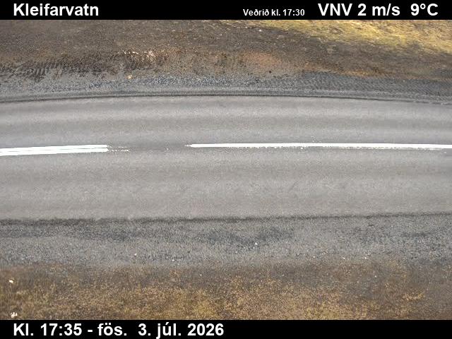 WorkingStill imageKleifarvatn, Road 42 (Krýsuvíkurvegur), road surface view
 WorkingStill imageRósaselstorg, Road 41 (Reykjanesbraut), view 1
 WorkingStill imageEngidalur, Road 40 (Hafnarfjarðarvegur), view 3
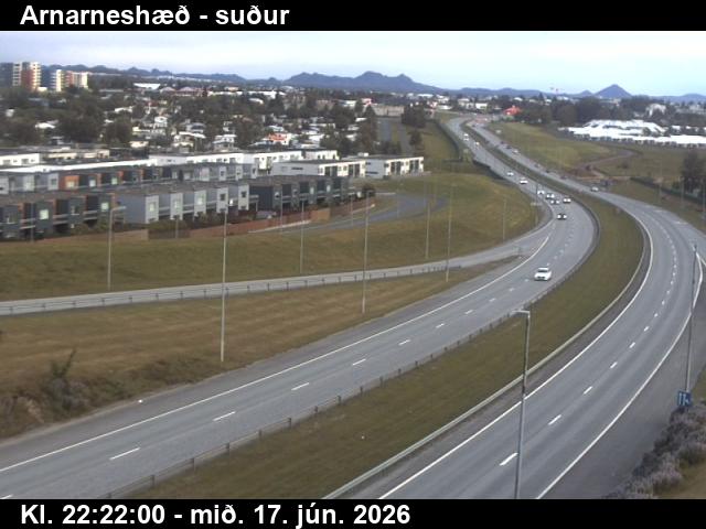 WorkingStill imageArnarneshæð, Road 40 (Hafnarfjarðarv), view 3
 WorkingStill imageFestarfjall, Road 427 (Suðurstrandarvegur), view 1
 WorkingStill imageFestarfjall, Road 427 (Suðurstrandarvegur), road surface view
 WorkingStill imageFestarfjall, Road 427 (Suðurstrandarvegur), road surface view
 WorkingStill imageFestarfjall, Road 427 (Suðurstrandarvegur), view 4
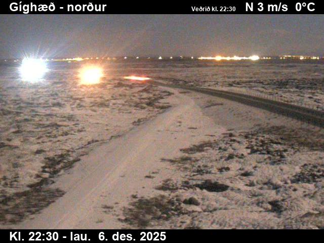 WorkingStill imageGíghæð, Road 43 (Grindavíkurvegur), looking north
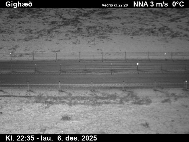 WorkingStill imageGíghæð, Road 43 (Grindavíkurvegur), view 2
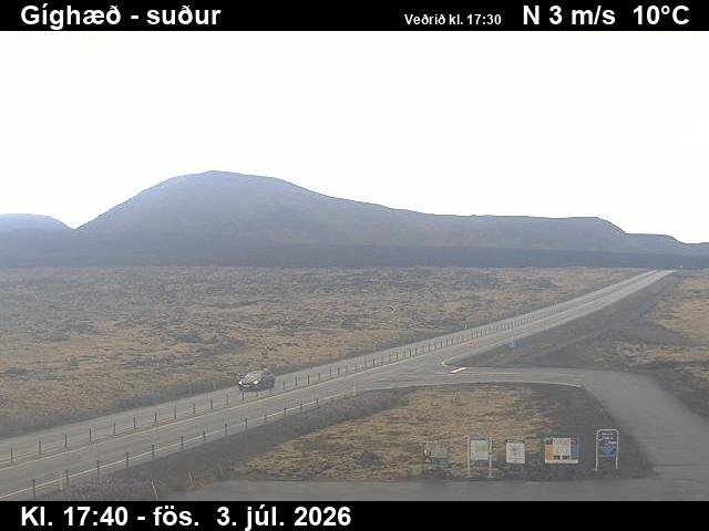 WorkingStill imageGíghæð, Road 43 (Grindavíkurvegur), looking south
 WorkingStill imageStrandarheiði, Road 41 (Reykjanesbraut), looking west
 WorkingStill imageStrandarheiði, Road 41 (Reykjanesbraut), road surface, looking west
 WorkingStill imageStrandarheiði, Road 41 (Reykjanesbraut), road surface, looking east
 WorkingStill imageStrandarheiði, Road 41 (Reykjanesbraut), looking east
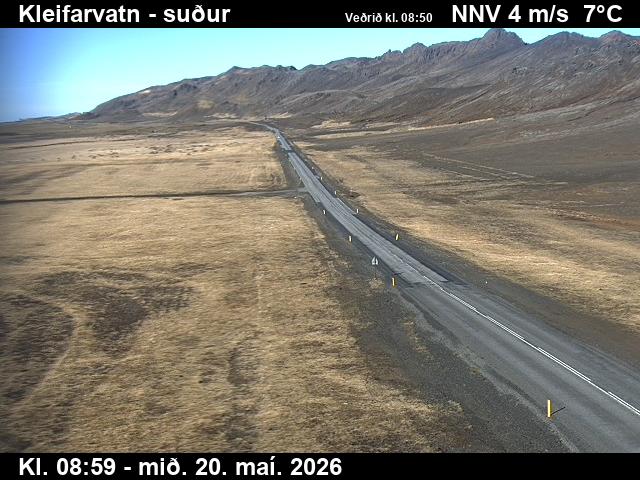 WorkingStill imageKleifarvatn, Road 42 (Krýsuvíkurvegur), looking south
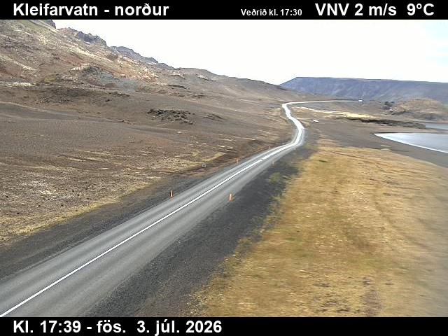 WorkingStill imageKleifarvatn, Road 42 (Krýsuvíkurvegur), looking north
 WorkingStill imageRósaselstorg, Road 41 (Reykjanesbraut), road surface view
 WorkingStill imageRósaselstorg, Road 41 (Reykjanesbraut), view 3
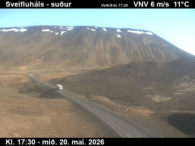 WorkingStill imageSveifluháls, Vatnsskarð, Road 42 (Krýsuvíkurvegur), looking south
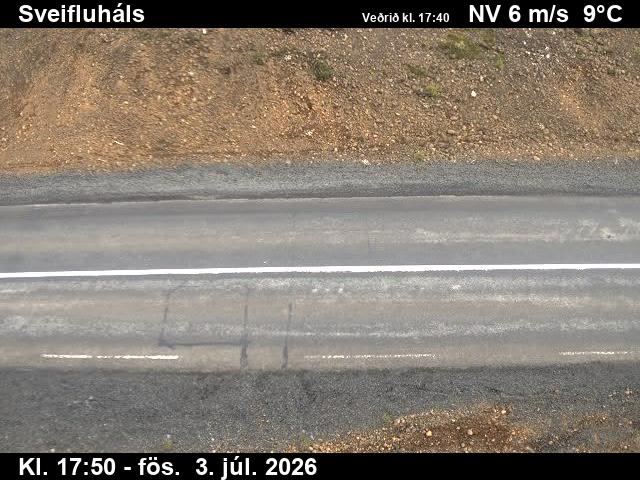 WorkingStill imageSveifluháls, Vatnsskarð, Road 42 (Krýsuvíkurvegur), road surface view
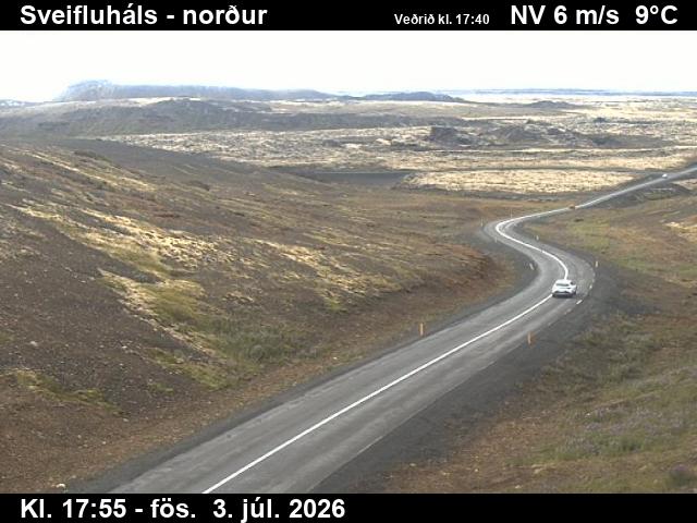 WorkingStill imageSveifluháls, Vatnsskarð, Road 42 (Krýsuvíkurvegur), looking north
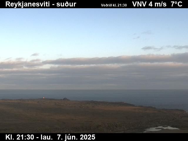 WorkingStill imageReykjanesviti, Road 443 (Reykjanesvitavegur), view 1
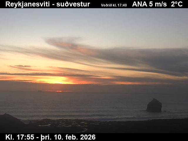 WorkingStill imageReykjanesviti, Road 443 (Reykjanesvitavegur), view 2
 WorkingStill imageEngidalur, Road 40 (Hafnarfjarðarvegur), view 1
 WorkingStill imageEngidalur, Road 40 (Hafnarfjarðarvegur), view 2
 WorkingStill imageEngidalur, Road 40 (Hafnarfjarðarvegur), view 4
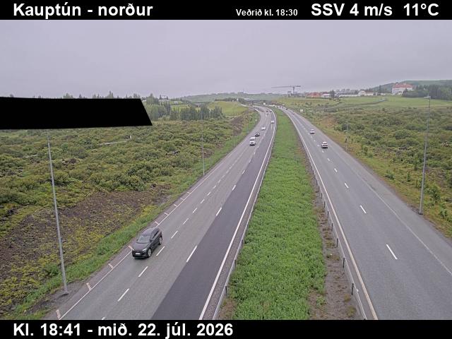 WorkingStill imageKauptún, Road 448 (Reykjanesbraut), view 1
 WorkingStill imageKauptún, Road 448 (Reykjanesbraut), view 2
 WorkingStill imageKauptún, Road 448 (Reykjanesbraut), view 3
 WorkingStill imageArnarneshæð, Road 40 (Hafnarfjarðarv), view 1
 WorkingStill imageArnarneshæð, Road 40 (Hafnarfjarðarv), looking east
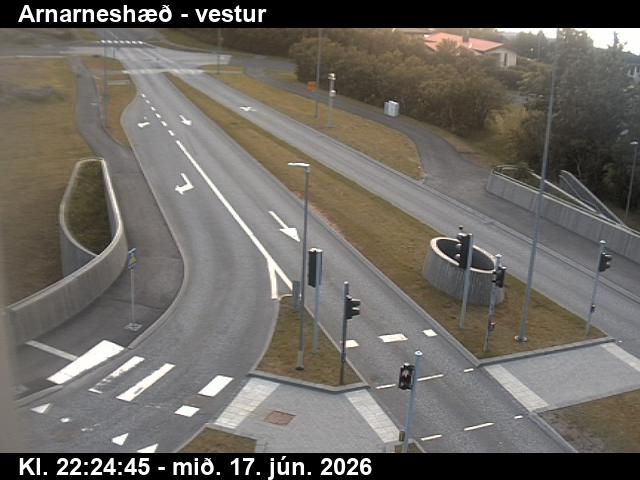 WorkingStill imageArnarneshæð, Road 40 (Hafnarfjarðarv), looking west
 WorkingStill imageNónskarð, Road 41 (Reykjanesbraut), view 1
 WorkingStill imageNónskarð, Road 41 (Reykjanesbraut), view 2
No live video among these cameras. Turn off "Live video only" to see them all.
Best cams to watch
- Kleifarvatn, Road 42 (Krýsuvíkurvegur), road surface view — Still image · every 10 min, working 100 % of the time in the last 30 days.
- Rósaselstorg, Road 41 (Reykjanesbraut), view 1 — Still image · every 10 min, working 100 % of the time in the last 30 days.
- Engidalur, Road 40 (Hafnarfjarðarvegur), view 3 — Still image · every 10 min, working 100 % of the time in the last 30 days.
The Reykjanes Peninsula reaches out from southwest Iceland into the North Atlantic, a low, windswept land of lava fields, moss, steaming ground and rugged coast just south of the capital region. About 31,000 people live in the region the Icelanders call Suðurnes, mostly in Reykjanesbær, formed from the old towns of Keflavík and Njarðvík, and in smaller fishing communities such as Sandgerði, Vogar and Grindavík. Keflavík International Airport, the country's main gateway, sits on the peninsula's northwest corner, so most visitors land here. The Mid-Atlantic Ridge comes ashore on the peninsula, and the small Bridge Between Continents spans a fissure that marks the boundary between plates. The Blue Lagoon spa uses warm, mineral-rich water from the nearby Svartsengi geothermal plant.
After about eight hundred quiet years, volcanic activity returned in 2021 with eruptions near Fagradalsfjall, followed by a long series of eruptions along the Sundhnúkur crater row near Grindavík from late 2023. The town of Grindavík was evacuated in November 2023, and defensive walls were built to steer lava away from homes and the power plant.
What the cameras show
Here the road webcams belong to Vegagerðin, the Icelandic Road and Coastal Administration. They post still images every few minutes and show road surfaces and visibility. They watch roads such as Reykjanesbraut, Route 41, between the capital region and the airport, and Grindavíkurvegur, Route 43, toward Grindavík. Road closures can follow volcanic events, so check official notices as well as the images.
Iceland stays on Greenwich Mean Time all year. Winter days on the peninsula last only around four hours near the solstice, while summer nights barely darken. Strong winds and blowing snow are common in winter, and the open lava fields offer dark skies for northern lights from roughly September to April.
Nearby, the Gunnuhver hot springs and the Reykjanes lighthouse sit at the peninsula's southwest tip, and Hafnarfjörður marks the start of the capital area to the northeast.
Sources: Southern Peninsula (Iceland) - Wikipedia · Vegagerðin (Icelandic Road and Coastal Administration) - road conditions and webcams · Icelandic Met Office - volcanic activity on Reykjanes.
Nearby places
- Reykjavík (73)
- Hafnarfjörður (57)
- Kópavogur (36)
- Keflavík (3)
- Reykjanesbær (3)
Questions about Reykjanes Peninsula
How many live cameras are there in Reykjanes Peninsula?
LiveLocation lists 35 cameras in and around Reykjanes Peninsula, Iceland: 0 live video, 35 still images. 35 of them were live or showing a fresh image at the last check.
Who runs the cameras in Reykjanes Peninsula?
All of them come from Vegagerðin (35). Each camera plays straight from the agency or owner that runs it, with credit. Vegagerðin
What can I see on the Reykjanes Peninsula cameras?
All of them show pass and road weather (35). Good ones to start with: Kleifarvatn, Road 42 (Krýsuvíkurvegur), road surface view and Rósaselstorg, Road 41 (Reykjanesbraut), view 1. Kleifarvatn, Road 42 (Krýsuvíkurvegur), road surface view Rósaselstorg, Road 41 (Reykjanesbraut), view 1
Can I watch live video from Reykjanes Peninsula?
Not yet: the cameras here send still images that refresh about every 10 minutes. The map can show only live-video cameras nearby. Live video on the map
What time is it in Reykjanes Peninsula, and when is it light?
Reykjanes Peninsula is on Atlantic/Reykjavik time. On October 8 the sun rises at 7:58 AM and sets at 6:34 PM, so still images are clearest between those times. Road cameras show the most traffic in the weekday morning and evening rush hours.
Which places near Reykjanes Peninsula also have cameras?
The nearest are Reykjanesbær (17 km away, 3 cameras), Keflavík (17 km away, 3 cameras) and Hafnarfjörður (26 km away, 57 cameras). Reykjanesbær Keflavík Hafnarfjörður
How can I see the Reykjanes Peninsula cameras on a map?
The map at the top of this page shows all 35 of them. The live camera radar centers on Reykjanes Peninsula and lists every camera within 5 to 250 km, nearest first, with filters for live video, traffic, nature and more. Open the radar on Reykjanes Peninsula
Place names and locations: GeoNames, licensed under CC BY 4.0.