Live cameras in Hafnarfjörður, Iceland
57 cameras: 0 live video, 57 still images · 57 working now · updated Oct 8, 03:32 UTC
Hafnarfjörður has 57 live cameras on LiveLocation right now: 0 live video, 57 still images. Good places to start: Engidalur, Road 40 (Hafnarfjarðarvegur), view 3, Arnarneshæð, Road 40 (Hafnarfjarðarv), view 3, Bústaðabrú, Road 40 (Hafnarfjarðarv), view 2. Local time is 3:32 AM (Atlantic/Reykjavik). Today the sun rises at 7:57 AM and sets at 6:33 PM.
Hafnarfjörður live cameras
Watch Hafnarfjörður live webcams: 0 live video, 57 still images. 57 were working at the last check. Hafnarfjörður is home to about 32,000 people.
 WorkingStill imageEngidalur, Road 40 (Hafnarfjarðarvegur), view 3
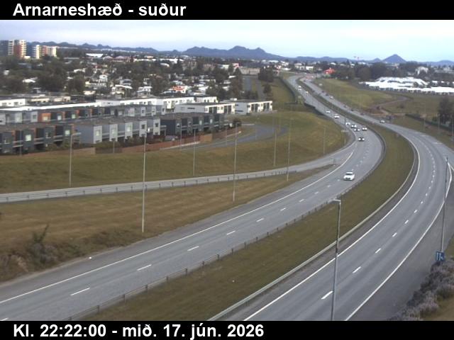 WorkingStill imageArnarneshæð, Road 40 (Hafnarfjarðarv), view 3
 WorkingStill imageBústaðabrú, Road 40 (Hafnarfjarðarv), view 2
 WorkingStill imageKringlan-Kringlumbr, Road 49/40 (Miklabraut/Kringlumýrarbraut), looking south
 WorkingStill imageÁrtúnsbrekka, Road 49/41 (Miklabraut/Reykjanesbraut), looking north
 WorkingStill imageSelvogur, Road 427 (Suðurstrandarvegur), view 1
 WorkingStill imageÞrengsli, Road 39 (Þrengslavegur), looking north
 WorkingStill imageKambar, Road 1 (Hringvegur), road surface view
 WorkingStill imageKambar brekka, Road 1 (Hringvegur), looking south
 WorkingStill imageEngidalur, Road 40 (Hafnarfjarðarvegur), view 1
 WorkingStill imageEngidalur, Road 40 (Hafnarfjarðarvegur), view 2
 WorkingStill imageEngidalur, Road 40 (Hafnarfjarðarvegur), view 4
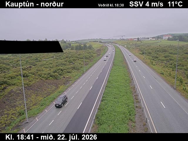 WorkingStill imageKauptún, Road 448 (Reykjanesbraut), view 1
 WorkingStill imageKauptún, Road 448 (Reykjanesbraut), view 2
 WorkingStill imageKauptún, Road 448 (Reykjanesbraut), view 3
 WorkingStill imageArnarneshæð, Road 40 (Hafnarfjarðarv), view 1
 WorkingStill imageArnarneshæð, Road 40 (Hafnarfjarðarv), looking east
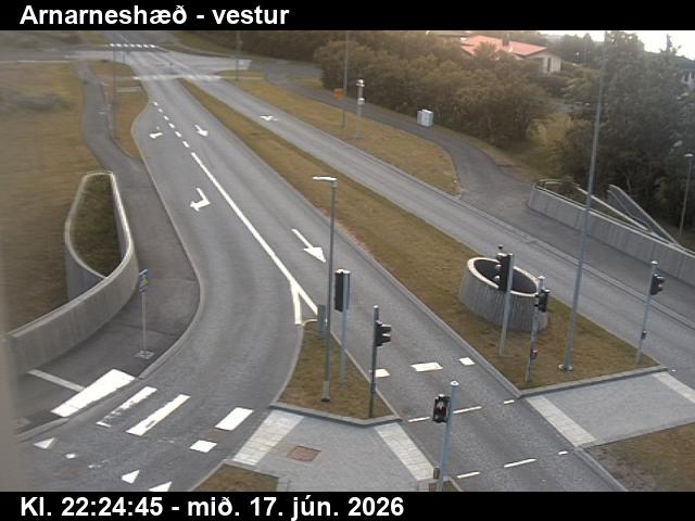 WorkingStill imageArnarneshæð, Road 40 (Hafnarfjarðarv), looking west
 WorkingStill imageNónskarð, Road 41 (Reykjanesbraut), view 1
 WorkingStill imageNónskarð, Road 41 (Reykjanesbraut), view 2
 WorkingStill imageArnarnesvegur, Road 411 (Arnarnesvegur), road surface, looking north
 WorkingStill imageArnarnesvegur, Road 411 (Arnarnesvegur), looking west
 WorkingStill imageArnarnesvegur, Road 411 (Arnarnesvegur), road surface, looking northeast
 WorkingStill imageArnarnesvegur, Road 411 (Arnarnesvegur), looking south
 WorkingStill imageBústaðabrú, Road 40 (Hafnarfjarðarv), looking north
 WorkingStill imageBústaðabrú, Road 40 (Hafnarfjarðarv), view 3
 WorkingStill imageBústaðabrú, Road 40 (Hafnarfjarðarv), view 4
 WorkingStill imageKringlan-Kringlumbr, Road 49/40 (Miklabraut/Kringlumýrarbraut), looking north
 WorkingStill imageKringlan-Miklabraut, Road 49/40 (Miklabraut/Kringlumýrarbraut), looking east
 WorkingStill imageKringlan-Miklabraut, Road 49/40 (Miklabraut/Kringlumýrarbraut), looking west
 WorkingStill imageÁrtúnsbrekka, Road 49/41 (Miklabraut/Reykjanesbraut), looking east
 WorkingStill imageÁrtúnsbrekka, Road 49/41 (Miklabraut/Reykjanesbraut), looking west
 WorkingStill imageÁrtúnsbrekka, Road 49/41 (Miklabraut/Reykjanesbraut), looking south
 WorkingStill imageHveradalir, Road 1 (Hringvegur), view 1
 WorkingStill imageHveradalir, Road 1 (Hringvegur), road surface view
 WorkingStill imageHveradalir, Road 1 (Hringvegur), looking east
 WorkingStill imageSelvogur, Road 427 (Suðurstrandarvegur), road surface view
 WorkingStill imageSelvogur, Road 427 (Suðurstrandarvegur), view 3
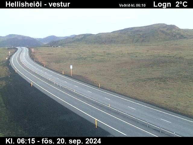 WorkingStill imageHellisheiði, Road 1 (Hringvegur), looking west
 WorkingStill imageHellisheiði, Road 1 (Hringvegur), road surface view
 WorkingStill imageHellisheiði, Road 1 (Hringvegur), looking east
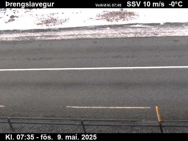 WorkingStill imageÞrengsli, Road 39 (Þrengslavegur), road surface view
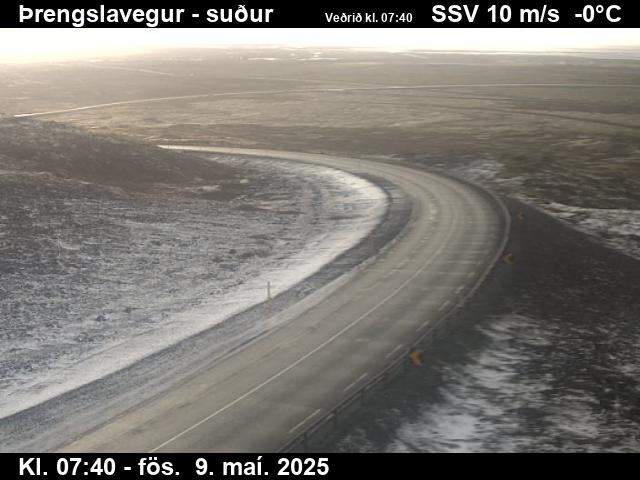 WorkingStill imageÞrengsli, Road 39 (Þrengslavegur), view 3
 WorkingStill imageKambar, Road 1 (Hringvegur), view 1
 WorkingStill imageKambar, Road 1 (Hringvegur), view 3
 WorkingStill imageKambar brekka, Road 1 (Hringvegur), view 1
 WorkingStill imageKambar brekka, Road 1 (Hringvegur), road surface view
 WorkingStill imageKambar neðst, Road 1 (Hringvegur), looking east
 WorkingStill imageKambar neðst, Road 1 (Hringvegur), road surface view
 WorkingStill imageKambar neðst, Road 1 (Hringvegur), view 3
 WorkingStill imageKotströnd, Road 1 (Hringvegur), view 1
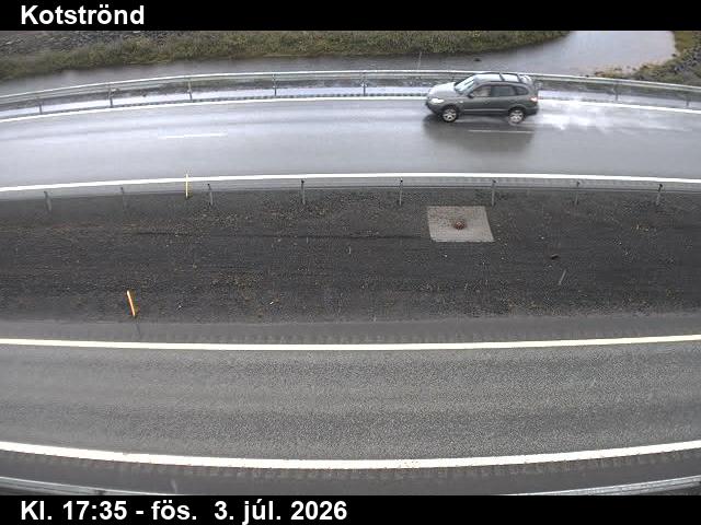 WorkingStill imageKotströnd, Road 1 (Hringvegur), road surface view
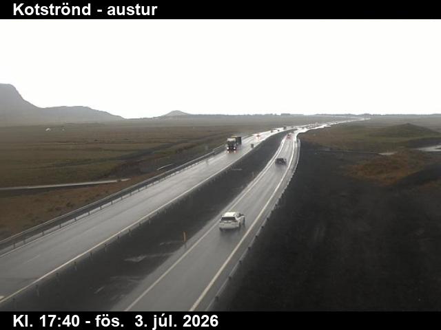 WorkingStill imageKotströnd, Road 1 (Hringvegur), view 3
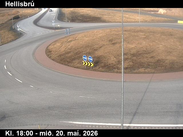 WorkingStill imageHellisbrú, Road 1 (Hringvegur), view 1
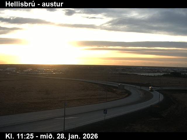 WorkingStill imageHellisbrú, Road 1 (Hringvegur), looking east
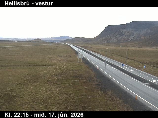 WorkingStill imageHellisbrú, Road 1 (Hringvegur), looking west
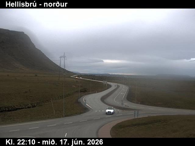 WorkingStill imageHellisbrú, Road 1 (Hringvegur), looking north
No live video among these cameras. Turn off "Live video only" to see them all.
Best cams to watch
- Engidalur, Road 40 (Hafnarfjarðarvegur), view 3 — Still image · every 10 min, working 100 % of the time in the last 30 days.
- Arnarneshæð, Road 40 (Hafnarfjarðarv), view 3 — Still image · every 10 min, working 100 % of the time in the last 30 days.
- Bústaðabrú, Road 40 (Hafnarfjarðarv), view 2 — Still image · every 10 min, working 100 % of the time in the last 30 days.
Hafnarfjörður, whose name means harbor fjord, is a town of about 31,500 people about ten kilometers south of central Reykjavík, the third most populous municipality in Iceland. Much of it is built on and around a lava field, and the black, moss-covered rock still shows in gardens, parks and between houses. The sheltered harbor made it an important trading place from the late Middle Ages; English and then German merchants traded here, and during the Danish trade monopoly it was one of the busiest commercial ports in the country. Fishing remains central, and the port is one of Iceland's main import and export harbors. Folklore is part of the town's identity too: Hellisgerði park and other lava outcrops are said to be home to elves and hidden people.
What the cameras show
Hafnarfjörður's views belong to Vegagerðin, the Icelandic Road and Coastal Administration. They are road-weather webcams showing still images refreshed every few minutes. Here they mostly watch the busy roads of the southern capital area, including Reykjanesbraut, Route 41, which carries traffic from the capital region past Hafnarfjörður toward Keflavík International Airport. Travelers heading to or from a flight often check these views for snow, ice or blowing spray on the road along the coast.
Like the rest of Iceland, Hafnarfjörður runs on Greenwich Mean Time all year. Winter days are short, with only around four to five hours of daylight in late December, while from late May to late July the nights hardly darken at all. Weather can change fast, and strong winds are common in winter. On clear, dark nights between autumn and spring the northern lights may appear over the lava fields at the edge of town, away from the brightest streets.
The town holds a Viking festival around the June solstice and a Christmas village in the town center in December. Nearby, the Helgafell hiking area and the lava fields of the Reykjanes peninsula stretch away to the south.
Sources: Hafnarfjörður - Wikipedia · Vegagerðin (Icelandic Road and Coastal Administration) - road conditions and webcams · Visit Hafnarfjörður.
Nearby places
- Reykjavík (73)
- Akureyri (37)
- Kópavogur (36)
- Reykjanes Peninsula (35)
- Keflavík (3)
- Reykjanesbær (3)
Questions about Hafnarfjörður
How many cameras does LiveLocation have in Hafnarfjörður?
LiveLocation lists 57 cameras in and around Hafnarfjörður, Iceland: 0 live video, 57 still images. 57 of them were live or showing a fresh image at the last check.
Who runs the cameras in Hafnarfjörður?
All of them come from Vegagerðin (57). Each camera plays straight from the agency or owner that runs it, with credit. Vegagerðin
What can I see on the Hafnarfjörður cameras?
All of them show pass and road weather (57). Good ones to start with: Engidalur, Road 40 (Hafnarfjarðarvegur), view 3 and Arnarneshæð, Road 40 (Hafnarfjarðarv), view 3. Engidalur, Road 40 (Hafnarfjarðarvegur), view 3 Arnarneshæð, Road 40 (Hafnarfjarðarv), view 3
Can I watch live video from Hafnarfjörður?
Not yet: the cameras here send still images that refresh about every 10 minutes. The map can show only live-video cameras nearby. Live video on the map
What time is it in Hafnarfjörður, and when is it light?
Hafnarfjörður is on Atlantic/Reykjavik time. On October 8 the sun rises at 7:57 AM and sets at 6:33 PM, so still images are clearest between those times. Road cameras show the most traffic in the weekday morning and evening rush hours.
Which places near Hafnarfjörður also have cameras?
The nearest are Kópavogur (5.2 km away, 36 cameras), Reykjavík (8.8 km away, 73 cameras) and Reykjanes Peninsula (26 km away, 35 cameras). Kópavogur Reykjavík Reykjanes Peninsula
How can I see the Hafnarfjörður cameras on a map?
The map at the top of this page shows all 57 of them. The live camera radar centers on Hafnarfjörður and lists every camera within 5 to 250 km, nearest first, with filters for live video, traffic, nature and more. Open the radar on Hafnarfjörður
Place names and locations: GeoNames, licensed under CC BY 4.0.