Live cameras in Reykjavík, Iceland
73 cameras: 0 live video, 73 still images · 73 working now · updated Oct 8, 03:32 UTC
Reykjavík has 73 live cameras on LiveLocation right now: 0 live video, 73 still images. Good places to start: Kringlan-Kringlumbr, Road 49/40 (Miklabraut/Kringlumýrarbraut), looking south, Bústaðabrú, Road 40 (Hafnarfjarðarv), view 2, Ártúnsbrekka, Road 49/41 (Miklabraut/Reykjanesbraut), looking north. Local time is 3:32 AM (Atlantic/Reykjavik). Today the sun rises at 7:57 AM and sets at 6:33 PM.
Reykjavík live cameras
Reykjavík live cameras, all in one place: 0 live video, 73 still images. 73 were working at the last check. Reykjavík is home to about 119,000 people.
Weather now in Reykjavík: 6 °C (43 °F), heavy rain, wind 27 km/h (17 mph) from the east. Forecast for 4 AM local time. Weather: MET Norway (CC BY 4.0)
 WorkingStill imageKringlan-Kringlumbr, Road 49/40 (Miklabraut/Kringlumýrarbraut), looking south
 WorkingStill imageBústaðabrú, Road 40 (Hafnarfjarðarv), view 2
 WorkingStill imageÁrtúnsbrekka, Road 49/41 (Miklabraut/Reykjanesbraut), looking north
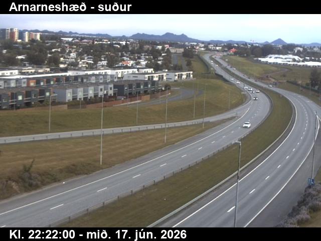 WorkingStill imageArnarneshæð, Road 40 (Hafnarfjarðarv), view 3
 WorkingStill imageEngidalur, Road 40 (Hafnarfjarðarvegur), view 3
 WorkingStill imageVikurvegur, Road 1 (Hringvegur), looking north
 WorkingStill imageGrundartangi, Road 1 (Hringvegur), view 1
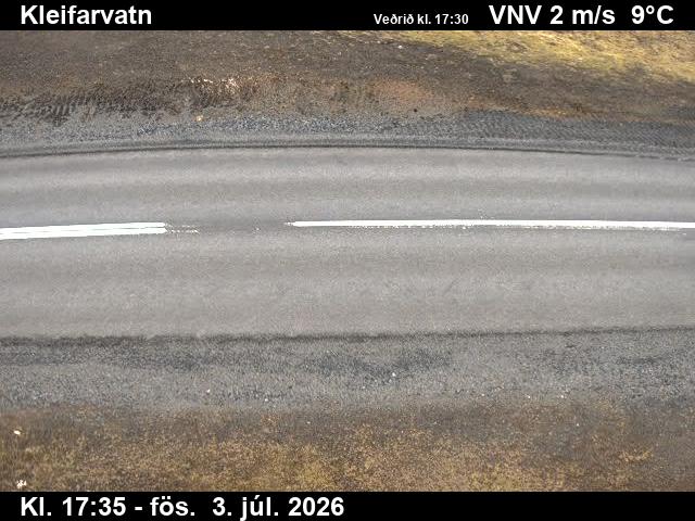 WorkingStill imageKleifarvatn, Road 42 (Krýsuvíkurvegur), road surface view
 WorkingStill imageÞrengslavegamót, Road 39 (Þrengslavegur), view 1
 WorkingStill imageÞrengslavegamót, Road 39 (Þrengslavegur), view 4
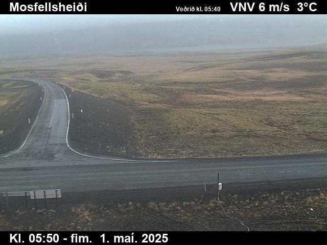 WorkingStill imageMosfellsheiði, Road 36 (Þingvallavegur), road surface view
 WorkingStill imageKringlan-Kringlumbr, Road 49/40 (Miklabraut/Kringlumýrarbraut), looking north
 WorkingStill imageKringlan-Miklabraut, Road 49/40 (Miklabraut/Kringlumýrarbraut), looking east
 WorkingStill imageKringlan-Miklabraut, Road 49/40 (Miklabraut/Kringlumýrarbraut), looking west
 WorkingStill imageBústaðabrú, Road 40 (Hafnarfjarðarv), looking north
 WorkingStill imageBústaðabrú, Road 40 (Hafnarfjarðarv), view 3
 WorkingStill imageBústaðabrú, Road 40 (Hafnarfjarðarv), view 4
 WorkingStill imageÁrtúnsbrekka, Road 49/41 (Miklabraut/Reykjanesbraut), looking east
 WorkingStill imageÁrtúnsbrekka, Road 49/41 (Miklabraut/Reykjanesbraut), looking west
 WorkingStill imageÁrtúnsbrekka, Road 49/41 (Miklabraut/Reykjanesbraut), looking south
 WorkingStill imageArnarneshæð, Road 40 (Hafnarfjarðarv), view 1
 WorkingStill imageArnarneshæð, Road 40 (Hafnarfjarðarv), looking east
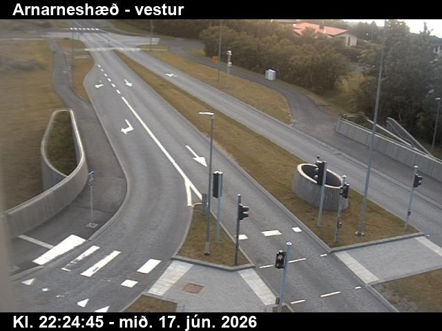 WorkingStill imageArnarneshæð, Road 40 (Hafnarfjarðarv), looking west
 WorkingStill imageNónskarð, Road 41 (Reykjanesbraut), view 1
 WorkingStill imageNónskarð, Road 41 (Reykjanesbraut), view 2
 WorkingStill imageEngidalur, Road 40 (Hafnarfjarðarvegur), view 1
 WorkingStill imageEngidalur, Road 40 (Hafnarfjarðarvegur), view 2
 WorkingStill imageEngidalur, Road 40 (Hafnarfjarðarvegur), view 4
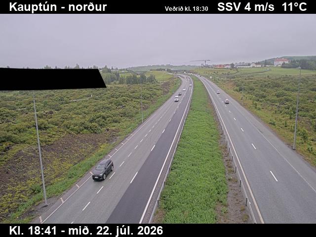 WorkingStill imageKauptún, Road 448 (Reykjanesbraut), view 1
 WorkingStill imageKauptún, Road 448 (Reykjanesbraut), view 2
 WorkingStill imageKauptún, Road 448 (Reykjanesbraut), view 3
 WorkingStill imageArnarnesvegur, Road 411 (Arnarnesvegur), road surface, looking north
 WorkingStill imageArnarnesvegur, Road 411 (Arnarnesvegur), looking west
 WorkingStill imageArnarnesvegur, Road 411 (Arnarnesvegur), road surface, looking northeast
 WorkingStill imageArnarnesvegur, Road 411 (Arnarnesvegur), looking south
 WorkingStill imageVikurvegur, Road 1 (Hringvegur), looking south
 WorkingStill imageVikurvegur, Road 1 (Hringvegur), looking west
 WorkingStill imageVikurvegur, Road 1 (Hringvegur), looking east
 WorkingStill imageLeirvogstungumelar, Road 1 (Hringvegur), looking north
 WorkingStill imageLeirvogstungumelar, Road 1 (Hringvegur), road surface view
 WorkingStill imageLeirvogstungumelar, Road 1 (Hringvegur), road surface view
 WorkingStill imageLeirvogstungumelar, Road 1 (Hringvegur), looking south
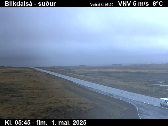 WorkingStill imageBlikdalsá, Road 1 (Hringvegur), looking south
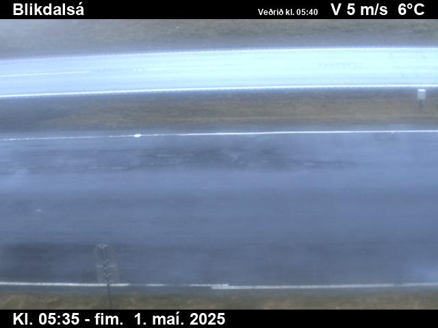 WorkingStill imageBlikdalsá, Road 1 (Hringvegur), road surface view
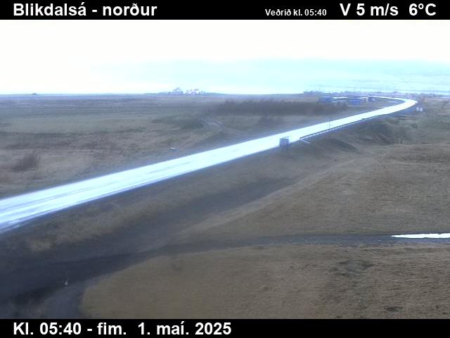 WorkingStill imageBlikdalsá, Road 1 (Hringvegur), looking north
 WorkingStill imageSandskeið, Road 1 (Hringvegur), view 1
 WorkingStill imageSandskeið, Road 1 (Hringvegur), view 2
 WorkingStill imageSandskeið, Road 1 (Hringvegur), view 3
 WorkingStill imageSandskeið, Road 1 (Hringvegur), road surface, looking west
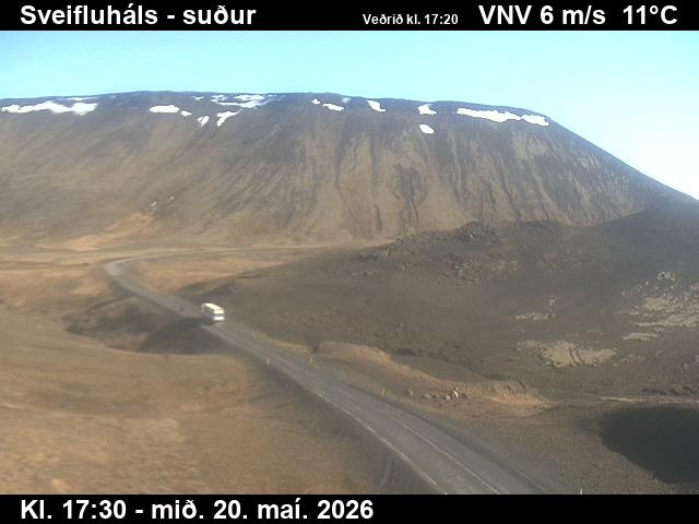 WorkingStill imageSveifluháls, Vatnsskarð, Road 42 (Krýsuvíkurvegur), looking south
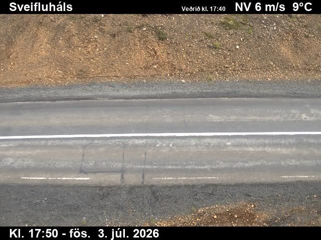 WorkingStill imageSveifluháls, Vatnsskarð, Road 42 (Krýsuvíkurvegur), road surface view
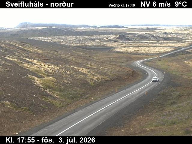 WorkingStill imageSveifluháls, Vatnsskarð, Road 42 (Krýsuvíkurvegur), looking north
 WorkingStill imageStrandarheiði, Road 41 (Reykjanesbraut), looking west
 WorkingStill imageStrandarheiði, Road 41 (Reykjanesbraut), road surface, looking west
 WorkingStill imageStrandarheiði, Road 41 (Reykjanesbraut), road surface, looking east
 WorkingStill imageStrandarheiði, Road 41 (Reykjanesbraut), looking east
 WorkingStill imageGrundartangi, Road 1 (Hringvegur), road surface view
 WorkingStill imageGrundartangi, Road 1 (Hringvegur), view 3
 WorkingStill imageLitla Kaffistofan, Road 1 (Hringvegur), view 1
 WorkingStill imageLitla Kaffistofan, Road 1 (Hringvegur), road surface view
 WorkingStill imageLitla Kaffistofan, Road 1 (Hringvegur), view 3
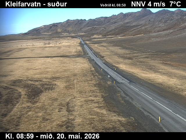 WorkingStill imageKleifarvatn, Road 42 (Krýsuvíkurvegur), looking south
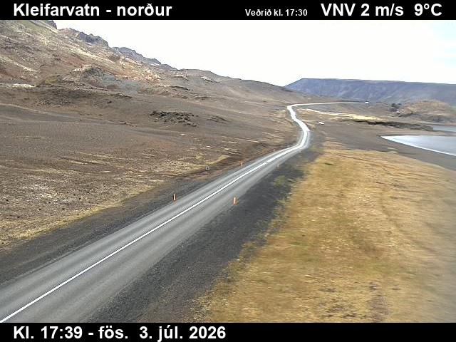 WorkingStill imageKleifarvatn, Road 42 (Krýsuvíkurvegur), looking north
 WorkingStill imageÞrengslavegamót, Road 39 (Þrengslavegur), view 2
 WorkingStill imageÞrengslavegamót, Road 39 (Þrengslavegur), view 3
 WorkingStill imageMosfellsheiði, Road 36 (Þingvallavegur), view 1
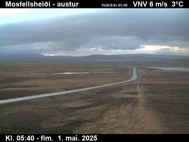 WorkingStill imageMosfellsheiði, Road 36 (Þingvallavegur), view 3
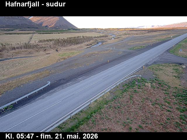 WorkingStill imageHafnarfjall, Road 1 (Hringvegur), view 1
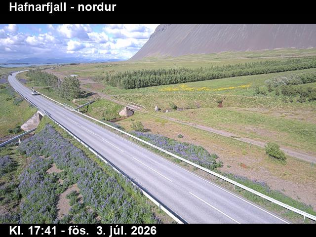 WorkingStill imageHafnarfjall, Road 1 (Hringvegur), view 2
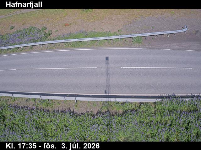 WorkingStill imageHafnarfjall, Road 1 (Hringvegur), road surface view
 WorkingStill imageÞyrill, Road 47 (Hvalfjarðarvegur), view 1
 WorkingStill imageÞyrill, Road 47 (Hvalfjarðarvegur), road surface view
 WorkingStill imageÞyrill, Road 47 (Hvalfjarðarvegur), view 3
No live video among these cameras. Turn off "Live video only" to see them all.
Best cams to watch
- Kringlan-Kringlumbr, Road 49/40 (Miklabraut/Kringlumýrarbraut), looking south — Still image · every 10 min, working 100 % of the time in the last 30 days.
- Bústaðabrú, Road 40 (Hafnarfjarðarv), view 2 — Still image · every 10 min, working 100 % of the time in the last 30 days.
- Ártúnsbrekka, Road 49/41 (Miklabraut/Reykjanesbraut), looking north — Still image · every 10 min, working 100 % of the time in the last 30 days.
Reykjavík is the capital of Iceland and the northernmost capital of any sovereign state, set on the southern shore of Faxaflói bay at about sixty-four degrees north. The city itself has about 140,000 residents, and the wider capital region about a quarter of a million, close to two thirds of the country. Tradition says the Norse settler Ingólfr Arnarson made his home here around the year 870, but the town was formally founded as a trading post only in 1786. The skyline is low and colorful, crowned by the tall concrete tower of Hallgrímskirkja church and the glass facets of Harpa concert hall on the harbor. Across the bay, the long ridge of Mount Esja changes color with the weather and light.
What the cameras show
Reykjavík's own cameras are operated by Vegagerðin, the Icelandic Road and Coastal Administration. They are road-weather webcams, still images refreshed every few minutes, placed along main roads so drivers can see snow, ice, wind-blown spray and visibility. In and around the capital they watch the main roads leading in and out of the city, toward the mountain route over Hellisheiði to the east, north along the coast toward Kjalarnes and the Hvalfjörður tunnel, and south toward the Reykjanes peninsula and the international airport at Keflavík.
Iceland uses Greenwich Mean Time all year with no daylight saving. Daylight swings dramatically: from late May to late July it is light almost around the clock, while in December and early January the day lasts less than five hours, with sunrise after eleven in the morning near the solstice. Winters are mild for the latitude but windy and changeable, and storms can bring sudden snow or freezing rain. From September to April, clear and dark nights offer a chance to see the northern lights, though city lights make the countryside better for that.
Nearby, the town of Hafnarfjörður sits just to the south on its lava field, and the geothermal valley at Hveragerði lies over the mountains to the east.
Sources: Reykjavík - Wikipedia · Vegagerðin (Icelandic Road and Coastal Administration) - road conditions and webcams · Icelandic Met Office - aurora forecast.
Nearby places
- Hafnarfjörður (57)
- Akureyri (37)
- Kópavogur (36)
- Reykjanes Peninsula (35)
- Keflavík (3)
- Reykjanesbær (3)
Questions about Reykjavík
How many webcams can I watch in Reykjavík?
LiveLocation lists 73 cameras in and around Reykjavík, Iceland: 0 live video, 73 still images. 73 of them were live or showing a fresh image at the last check.
Where do the Reykjavík cameras come from?
All of them come from Vegagerðin (73). Each camera plays straight from the agency or owner that runs it, with credit. Vegagerðin
What kinds of views are there in Reykjavík?
All of them show pass and road weather (73). Good ones to start with: Kringlan-Kringlumbr, Road 49/40 (Miklabraut/Kringlumýrarbraut), looking south and Bústaðabrú, Road 40 (Hafnarfjarðarv), view 2. Kringlan-Kringlumbr, Road 49/40 (Miklabraut/Kringlumýrarbraut), looking south Bústaðabrú, Road 40 (Hafnarfjarðarv), view 2
Is there live video from Reykjavík?
Not yet: the cameras here send still images that refresh about every 10 minutes. The map can show only live-video cameras nearby. Live video on the map
When is the best time to watch the Reykjavík cameras?
Reykjavík is on Atlantic/Reykjavik time. On October 8 the sun rises at 7:57 AM and sets at 6:33 PM, so still images are clearest between those times. Road cameras show the most traffic in the weekday morning and evening rush hours.
Are there live cameras near Reykjavík?
The nearest are Kópavogur (4.1 km away, 36 cameras), Hafnarfjörður (8.8 km away, 57 cameras) and Reykjanes Peninsula (32 km away, 35 cameras). Kópavogur Hafnarfjörður Reykjanes Peninsula
Is there a map of the cameras in Reykjavík?
The map at the top of this page shows all 73 of them. The live camera radar centers on Reykjavík and lists every camera within 5 to 250 km, nearest first, with filters for live video, traffic, nature and more. Open the radar on Reykjavík
Place names and locations: GeoNames, licensed under CC BY 4.0.