Katmai (CAHL camera) webcam — United States
Working Still image · every 10 min Volcano · Official source · What camera types mean
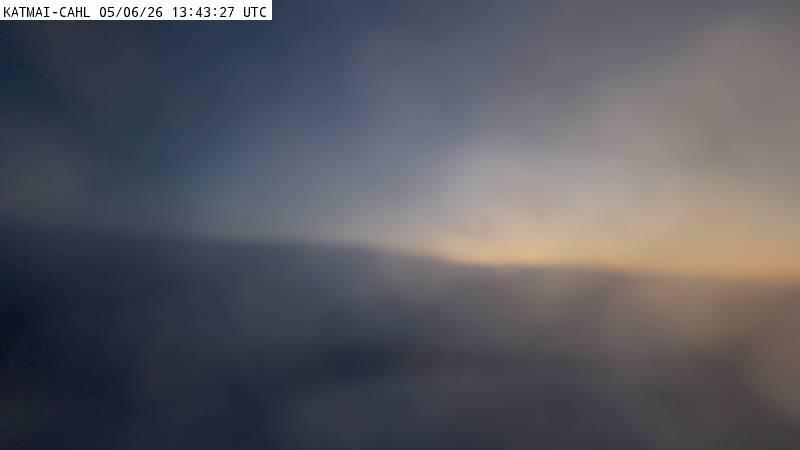
What you are looking at
This CAHL camera sits at about 810 m (2,650 feet) on a ridge south of the volcanoes of Katmai National Park, about 13 km (8 miles) south of Mount Martin. It looks north across green, rolling ridges to a line of snowy peaks, including Mount Martin and Mount Mageik, with the rocky top of the camera's own ridge in the foreground.
The Katmai area holds a chain of volcanoes on the Alaska Peninsula, including Martin, Mageik, Trident, Novarupta and Katmai. In 1912, Novarupta produced the largest volcanic eruption of the 20th century, creating the Valley of Ten Thousand Smokes. Martin and Mageik both have active fumaroles, and Martin often shows a small steam plume. Check AVO's Katmai-area pages for current alert levels.
The snapshot updates about every ten minutes. Summer brings green slopes and long days; in winter, the whole scene turns white and days are short. Clouds often build over the peaks by afternoon. Tip: watch for a small steam plume from Mount Martin's summit crater on cold, calm mornings.
Camera details
- Camera ID
- katmai_cahl
- Operator
- Alaska Volcano Observatory (USGS)
- Name at the provider
- Katmai [CAHL, 2648 ft]
- Elevation
- 807 m / 2,648 ft
- Image updates
- Every 10 min
- Video format
- Still image (JPEG)
- Position
- Exact (from the provider)
- Licence
- U.S. public domain
- Data source
- USGS volcano webcams
- Working, last 7 days
- Not enough checks yet
From the provider's own camera list and our automatic checks. Readings and details can change without notice.
On the map
Nearby live views
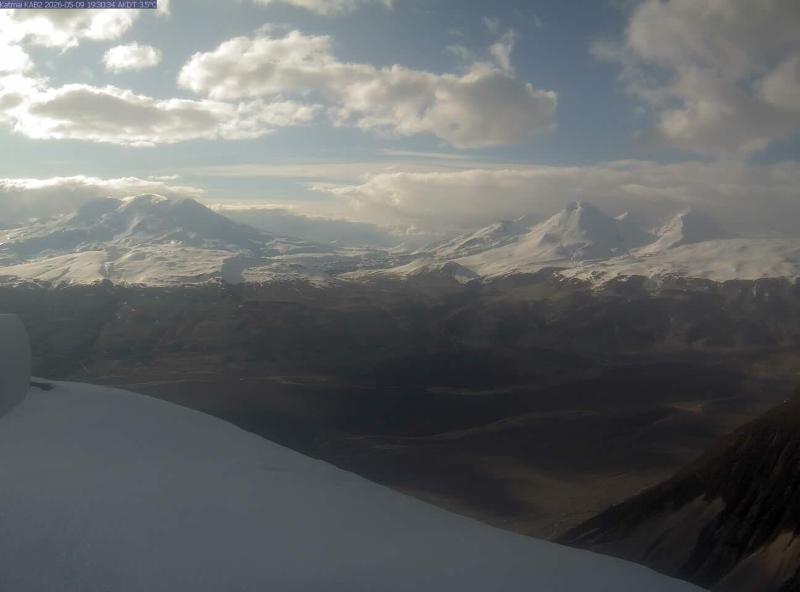 IntermittentStill imageKatmai (KAB2 camera)
 WorkingStill imageKatmai (KABU camera)
 WorkingStill imageKatmai (KAKN camera)
Closest to this one: Katmai (KAB2 camera) (13 mi), Katmai (KABU camera) (15 mi) and Katmai (KAKN camera) (19 mi).
Camera radar centered here · More from USGS volcano observatories
Questions about Katmai (CAHL camera)
Is Katmai (CAHL camera) working right now?
Yes, it is working: at our last automatic check it was sending new pictures. It is a still image, not video: a new photo arrives about every 10 minutes straight from Alaska Volcano Observatory (USGS).
How often does the picture update?
About every 10 minutes, on Alaska Volcano Observatory (USGS)'s schedule. The image on this page refreshes by itself while the tab is open.
Who operates the Katmai (CAHL camera) camera?
Alaska Volcano Observatory (USGS) runs this camera, as part of the U.S. Geological Survey (USGS) Volcano Hazards Program. It is an official source. Its images are in the U.S. public domain. LiveLocation shows them straight from the source with credit. About USGS volcano observatories Watch at the source
Where exactly is this camera?
It is in United States. Coordinates: 58.052, -155.304.
Is it day or night there now?
The camera is in the America/Anchorage time zone. The "Right now" panel above shows the local time live. On October 7 the sun rises at 8:39 AM and sets at 7:38 PM there.
Are there more live cameras near here?
Yes: 3 other cameras are within 25 miles of this one. The live camera radar shows them all on a map, nearest first. Open the radar here
Is this volcano erupting, and where is the official alert level?
Alaska Volcano Observatory (USGS) sets the U.S. Volcano Alert Level and Aviation Color Code for this volcano, not LiveLocation. Read its latest update before you plan a visit; the camera alone cannot tell you how safe it is. USGS volcano updates Official camera page