Katmai National Park sunrise live cam – Katmai (KABU camera)
Working Still image · every 10 min Volcano · Official source · What camera types mean
What you are looking at
The KABU camera is high in Katmai National Park, at about 1,070 m (3,500 feet) on the west side of the upper valley, and it looks east over the upper Valley of Ten Thousand Smokes toward Novarupta, about 7 km (4.5 miles) away. The frame shows a barren, ash-covered valley floor, gray ridges, and on the right, snowy volcanic slopes rising toward Trident and Katmai.
In June 1912, Novarupta produced the largest volcanic eruption of the 20th century, burying the valley under hot ash flows and collapsing the summit of nearby Mount Katmai into a caldera. The valley's thousands of steam vents gave it its name, though most have since cooled. AVO watches this area for any renewed activity. Check the Alaska Volcano Observatory Katmai pages for the current alert levels.
The image here refreshes about every ten minutes. Summer reveals the pale ash and dark gullies best; winter turns the valley white. Strong winds can lift old ash from the valley into dust clouds that look like eruptions. Tip: if you see a brown haze here on a windy, dry day, it is probably resuspended 1912 ash, not new activity.
Camera details
- Camera ID
- katmai_kabu
- Operator
- Alaska Volcano Observatory (USGS)
- Name at the provider
- Katmai [KABU, 3494 ft]
- Volcano
- Katmai
- Volcano number (Smithsonian GVP)
- 312170
- Elevation
- 1,070 m / 3,510 ft
- Camera faces
- East (86°)
- Image updates
- Every 10 min
- Video format
- Still image (JPEG)
- Position
- Exact (from the provider)
- Licence
- U.S. public domain
- Data source
- USGS volcano webcams
- Working, last 7 days
- Not enough checks yet
From the provider's own camera list and our automatic checks. Readings and details can change without notice.
Live camera in Katmai National Park, Alaska
Weather now in Katmai National Park: 32 °F (0 °C), cloudy, wind 3 mph (5 km/h) from the north. Forecast for 7 PM local time. Weather: MET Norway (CC BY 4.0)
Katmai National Park is a place in Alaska, United States. The camera is about 27 mi from the center, 3,510 ft (1,070 m) above sea level. Katmai National Park keeps America/Anchorage time (UTC−8 at the moment); the panel above shows the local time live.
Katmai National Park and Preserve covers about 4 million acres at the top of the Alaska Peninsula, roughly 290 miles southwest of Anchorage. No roads reach it; most visitors fly from King Salmon, where the park has its headquarters, then take a floatplane to Brooks Camp. The park was first protected as a national monument in 1918 to preserve the scene of the 1912 Novarupta eruption, the largest of the…
On the map
Live cameras near Katmai National Park
 WorkingStill imageKatmai (KAKN camera)
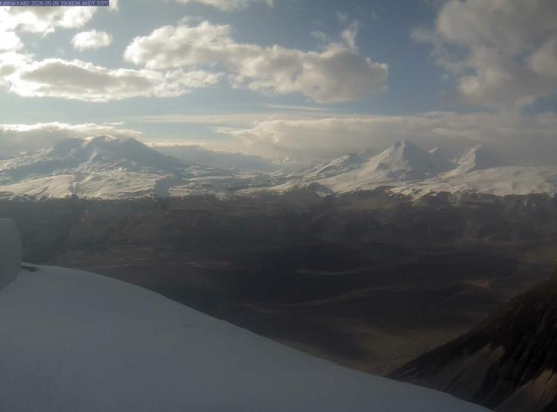 IntermittentStill imageKatmai (KAB2 camera)
 WorkingStill imageKatmai (CAHL camera)
 Live nowYouTube liveBrooks Falls brown bears, Katmai National Park, Alaska
The nearest other cameras are Katmai (KAKN camera) (8.2 mi), Katmai (KAB2 camera) (15 mi) and Katmai (CAHL camera) (15 mi).
All Katmai National Park live cameras · Camera radar centered here · More from USGS volcano observatories
More from Katmai National Park
Questions about Katmai (KABU camera)
Can I watch Katmai (KABU camera) live right now?
Yes, it is working: at our last automatic check it was sending new pictures. It is a still image, not video: a new photo arrives about every 10 minutes straight from Alaska Volcano Observatory (USGS).
Who operates the Katmai (KABU camera) camera?
Alaska Volcano Observatory (USGS) runs this camera, as part of the U.S. Geological Survey (USGS) Volcano Hazards Program. It is an official source. Its images are in the U.S. public domain. LiveLocation shows them straight from the source with credit. About USGS volcano observatories Watch at the source
Where exactly is this camera?
It is about 27 mi from the center of Katmai National Park, Alaska, United States. Coordinates: 58.270, -155.284. All cameras in Katmai National Park
What is the local time at Katmai National Park?
Katmai National Park is in the America/Anchorage time zone. The "Right now" panel above shows the local time live. On October 7 the sun rises at 8:39 AM and sets at 7:37 PM there.
Are there more live cameras near Katmai National Park?
Yes: 3 other cameras are within 25 miles of this one. The live camera radar shows them all on a map, nearest first. Open the radar here
Is this volcano erupting, and where is the official alert level?
Alaska Volcano Observatory (USGS) sets the U.S. Volcano Alert Level and Aviation Color Code for this volcano, not LiveLocation. Read its latest update before you plan a visit; the camera alone cannot tell you how safe it is. USGS volcano updates Official camera page
What are the conditions at Katmai (KABU camera) now?
The latest readings from the provider: Volcano alert level: NORMAL · aviation code GREEN; Last USGS notice: Aug 31, 16:04 local time; Issued by: Alaska Volcano Observatory (USGS). They update with the provider's data, so they can be a few minutes old.