Live cameras in Tijuana, Mexico
55 cameras: 47 live video, 8 still images · 22 working now · updated Oct 8, 03:31 UTC
Tijuana has 55 live cameras on LiveLocation right now: 47 live video, 8 still images. Good places to start: SR-905 EB 905 at Airway Rd., San Diego, SR-905 I-905 at Just West Of Enrico Fermi 1, San Diego, I-805 at H Street, Chula Vista. Local time is 8:31 PM (America/Tijuana). Today the sun rises at 6:46 AM and sets at 6:25 PM.
Tijuana live cameras
Tijuana live cameras, all in one place: 47 live video, 8 still images. 22 of them were live or fresh at the last check. Tijuana is home to about 1.9 million people.
Weather now in Tijuana: 25 °C (77 °F), clear sky, wind 10 km/h (6 mph) from the northwest. Forecast for 9 PM local time. Weather: MET Norway (CC BY 4.0)
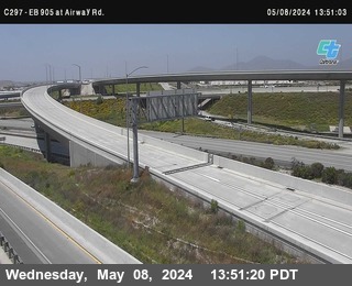 Live nowLive videoSR-905 EB 905 at Airway Rd., San Diego
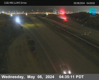 Live nowLive videoSR-905 I-905 at Just West Of Enrico Fermi 1, San Diego
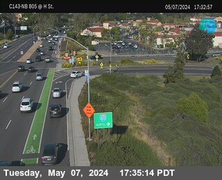 Live nowLive videoI-805 at H Street, Chula Vista
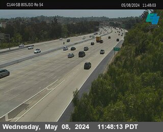 Live nowLive videoI-805 at Just South Of SR-54, Chula Vista
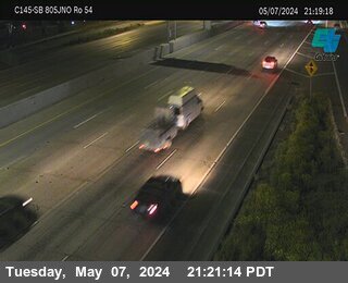 Live nowLive videoI-805 at Just North Of SR-54, National City
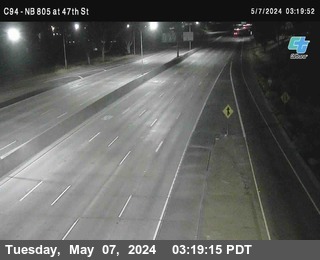 Live nowLive videoI-805 NB 805 at 47th Street (on ramp), San Diego
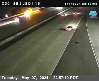 Live nowLive videoI-5 SB 5 at Just South Of I-15, San Diego
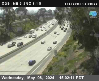 Live nowLive videoI-5 at Just North Of I-15, San Diego
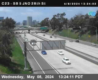 Live nowLive videoI-5 SB 5 at Just North Of 28th Street, San Diego
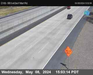 Live nowLive videoI-5 at Dairy Mart Road, San Ysidro
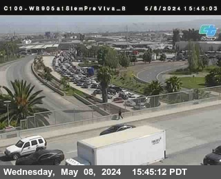 Live nowLive videoSR-905 I-905 at Siempre Viva T, San Diego
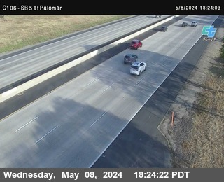 Live nowLive videoI-5 at Palomar Street, Chula Vista
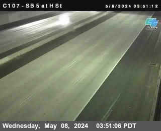 Live nowLive videoI-5 SB 5 at H Street, Chula Vista
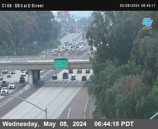 Live nowLive videoI-5 at E Street (On Ramp), Chula Vista
 WorkingStill imageSR-125 I-125 at NB JSO Elkelton Pl, T, Spring Valley
 WorkingStill imageSR-125 I-125 at NB JSO Elkelton Pl, B, Spring Valley
 WorkingStill imageSR-125 I-125 at NB JSO Jamacha Rd, T, Spring Valley
 WorkingStill imageSR-125 I-125 at NB JSO Jamacha Rd, B, Spring Valley
 WorkingStill imageSR-125 I-125 at SB NO Jamacha Rd, T, Spring Valley
 WorkingStill imageSR-125 I-125 at SB NO Jamacha Rd, B, Spring Valley
 WorkingStill imageSR-125 I-125 at SB JNO Blossom Ln, T, Lemon Grove
 WorkingStill imageSR-125 I-125 at SB JNO Blossom Ln, B, Lemon Grove
 IntermittentLive videoI-5 SB 5 at Via De San Ysidro, San Ysidro
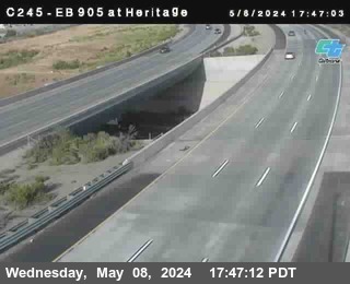 IntermittentLive videoSR-905 I-905 at Heritage Road, San Diego
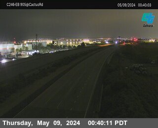 IntermittentLive videoSR-905 I-905 at West of Britannia Road, San Diego
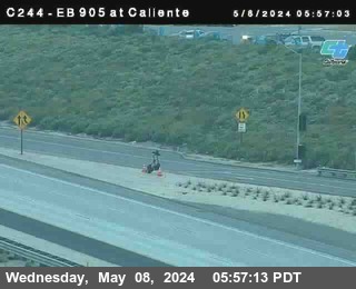 IntermittentLive videoSR-905 (C 244) I-905 at Caliente, San Diego
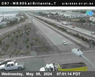 IntermittentLive videoSR-905 I-905 at Britannia Top, San Diego
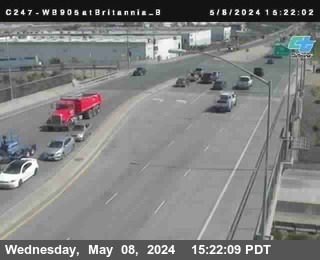 IntermittentLive videoSR-905 I-905 at Britannia Bottom, San Diego
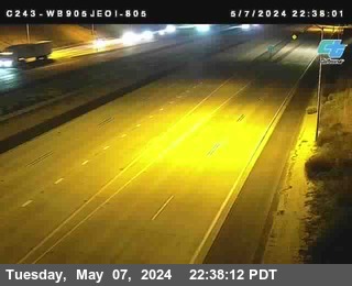 IntermittentLive videoSR-905 I-905 at Just East Of I-805, San Diego
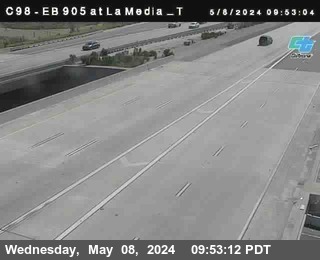 IntermittentLive videoSR-905 (C 098) EB 905 at La Media T, San Diego
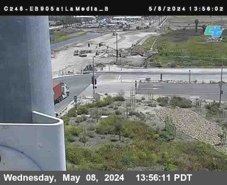 IntermittentLive videoSR-905 (C 248) I-905 at La Media B, San Diego
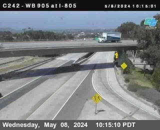 IntermittentLive videoSR-905 I-905 at I-805, San Diego
 IntermittentLive videoSR-905 I-905 at SR-11 at La Media OFR_B, San Diego
 IntermittentLive videoSR-905 I-905 at SR-11 at La Media OFR_T, San Diego
 IntermittentLive videoSR-905 I-905 at Sempre Viva B, San Diego
 IntermittentLive videoSR-905 EB 905 at Airway Rd., San Diego
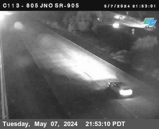 IntermittentLive videoI-805 at Just North Of SR-905, San Diego
 IntermittentLive videoSR-905 WB 905 at Airway_B, San Diego
 IntermittentLive videoSR-905 (C 249) WB 905 at Airway_T, San Diego
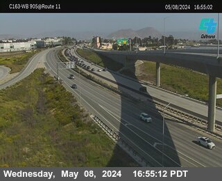 IntermittentLive videoSR-905 I-905 at SR-11 1, San Diego
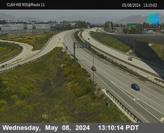 IntermittentLive videoSR-905 I-905 at SR-11 2, San Diego
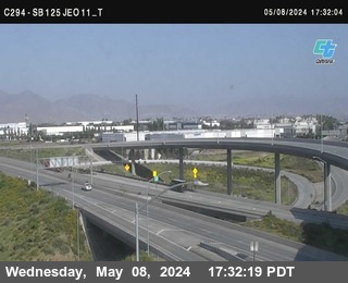 IntermittentLive videoSR-125 SB 125 at JEO 11, San Diego
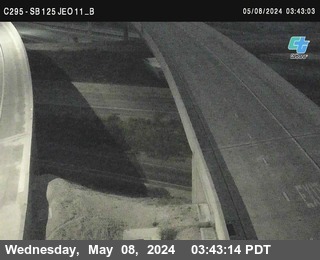 IntermittentLive videoSR-125 SB 125 at JEO 11, San Diego
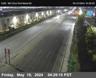 IntermittentLive videoSR-125 SB 125 at Otay Mesa Rd., San Diego
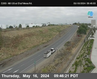 IntermittentLive videoSR-125 NB 125 at Otay Mesa Rd., San Diego
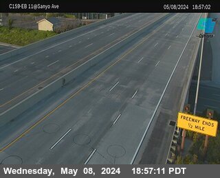 IntermittentLive videoSR-905 I-905 at Sanyo Avenue 1, San Diego
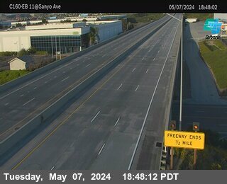 IntermittentLive videoSR-905 I-905 at Sanyo Avenue 2, San Diego
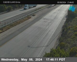 IntermittentLive videoSR-905 I-905 at Just West Of Enrico Fermi 2, San Diego
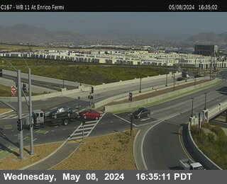 IntermittentLive videoSR-905 WB 905 at SR-11 Enrico Fermi 1, San Diego
 IntermittentLive videoI-805 at East Palomar DAR, Chula Vista
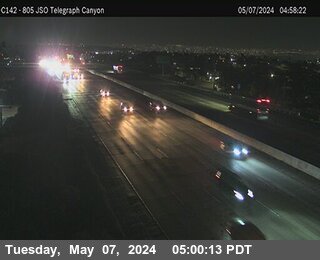 IntermittentLive videoI-805 NB 805 at JSO Telegraph Canyon, Chula Vista
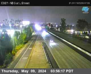 IntermittentLive videoI-5 at L St, Chula Vista
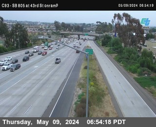 IntermittentLive videoI-805 SB 805 at Division Street (on ramp), National City
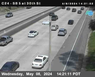 IntermittentLive videoI-5 SB 5 at 30th Street, San Diego
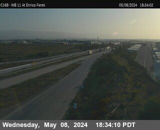 IntermittentLive videoSR-905 WB 905 at SR-11 Enrico Fermi 2, San Diego
No live video among these cameras. Turn off "Live video only" to see them all.
Best cams to watch
- SR-905 EB 905 at Airway Rd., San Diego — Live video, working 100 % of the time in the last 30 days.
- SR-905 I-905 at Just West Of Enrico Fermi 1, San Diego — Live video, working 100 % of the time in the last 30 days.
- I-805 at H Street, Chula Vista — Live video.
Tijuana is the largest city in Baja California and one of the largest in Mexico, spread over hills and canyons on the Pacific coast directly south of San Diego. The 2020 census counted about 1.8 million people in the city and over two million in the wider municipality. The Tijuana River runs through a channel in the central valley, and districts range from historic Avenida Revolución, long the heart of the tourist trade, to the modern Zona Río business district and Playas de Tijuana, the beach borough where the border fence runs into the ocean. The Tijuana Cultural Center, known as CECUT, has been a symbol of the city's arts scene since 1982.
Tijuana and San Diego form one of the most connected border regions anywhere. The San Ysidro Port of Entry, at the end of Interstate 5, is among the busiest land crossings in the world, and the Otay Mesa crossing farther east handles much of the commercial truck traffic.
Where these cameras are
The cameras grouped under Tijuana are actually on the United States side of the border. They come from Caltrans, the California Department of Transportation, and the map assigns them to Tijuana because it is the nearest large place. They are still images refreshed every few minutes, looking along the freeways that lead to and from the crossings near San Ysidro and Otay Mesa in southern San Diego County. They can give a rough sense of how heavy traffic is on the approaches, though they do not show official wait times; U.S. Customs and Border Protection publishes those separately.
Tijuana uses Pacific Time and changes its clocks on the same dates as the United States. Northbound traffic is usually heaviest early on weekday mornings, when commuters and students head to San Diego, and on Sunday afternoons and evenings after weekend trips. The climate is dry and mild, with most rain falling between November and March.
Nearby, the coastal town of Rosarito lies about twenty minutes south, and Friendship Park, at the edge of the ocean, is where the two cities meet.
Sources: Tijuana - Wikipedia · San Ysidro Port of Entry - Wikipedia · CBP Border Wait Times.
Nearby places
- Los Angeles (623)
- Riverside (248)
- Orange (205)
- San Diego (202)
- Anaheim (198)
- Buena Park (197)
- Garden Grove (196)
- Santa Ana (193)
Questions about Tijuana
How many cameras does LiveLocation have in Tijuana?
LiveLocation lists 55 cameras in and around Tijuana, Mexico: 47 live video, 8 still images. 22 of them were live or showing a fresh image at the last check.
Where do the Tijuana cameras come from?
All of them come from Caltrans (55). Each camera plays straight from the agency or owner that runs it, with credit. Caltrans
What kinds of views are there in Tijuana?
All of them show traffic and highway (55). Good ones to start with: SR-905 EB 905 at Airway Rd., San Diego and SR-905 I-905 at Just West Of Enrico Fermi 1, San Diego. SR-905 EB 905 at Airway Rd., San Diego SR-905 I-905 at Just West Of Enrico Fermi 1, San Diego
Is there live video from Tijuana?
Yes: 47 of the 55 cameras send live video. Turn on "Live video only" above the grid to see just those. The other 8 are still images that refresh every few minutes.
When is the best time to watch the Tijuana cameras?
Tijuana is on America/Tijuana time. On October 7 the sun rises at 6:46 AM and sets at 6:25 PM, so still images are clearest between those times. Road cameras show the most traffic in the weekday morning and evening rush hours.
Are there live cameras near Tijuana?
The nearest are Imperial Beach (14 km away, 10 cameras), Chula Vista (17 km away, 75 cameras) and National City (21 km away, 105 cameras). Imperial Beach Chula Vista National City
Is there a map of the cameras in Tijuana?
The map at the top of this page shows all 55 of them. The live camera radar centers on Tijuana and lists every camera within 5 to 250 km, nearest first, with filters for live video, traffic, nature and more. Open the radar on Tijuana
Place names and locations: GeoNames, licensed under CC BY 4.0.