Live cameras in Corona, United States
67 cameras: 65 live video, 2 still images · 50 working now · updated Oct 8, 08:36 UTC
Corona has 67 live cameras on LiveLocation right now: 65 live video, 2 still images. Good places to start: I-15 at Magnolia Avenue, Corona, SR-91 at 0.7 Miles West of Green River, Corona, SR-91 at West of Van Buren, Riverside. Local time is 1:36 AM (America/Los Angeles). Today the sun rises at 6:50 AM and sets at 6:25 PM.
Corona live cameras
Every Corona live camera we know of: 65 live video, 2 still images. 50 were working at the last check. Corona is home to about 164,000 people.
Weather now in Corona: 77 °F (25 °C), clear sky, wind 2 mph (4 km/h) from the south. Forecast for 2 AM local time. Weather: MET Norway (CC BY 4.0)
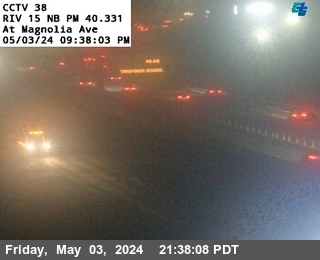 Live nowLive videoI-15 at Magnolia Avenue, Corona
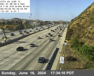 Live nowLive videoSR-91 at 0.7 Miles West of Green River, Corona
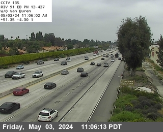 Live nowLive videoSR-91 at West of Van Buren, Riverside
 Live nowLive videoSR-91 at 0.3 Miles East of Main Street, Corona
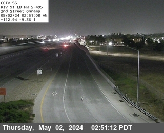 Live nowLive videoSR-91 at 2nd Street Onramp, Corona
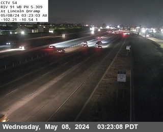 Live nowLive videoSR-91 at Lincoln Onramp, Corona
 Live nowLive videoI-15 at SR-91 Connector NE Quad, Corona
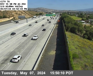 Live nowLive videoI-15 at Hidden Valley Parkway, Corona
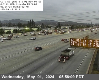 Live nowLive videoSR-91 at 0.3 Miles East of Smith, Corona
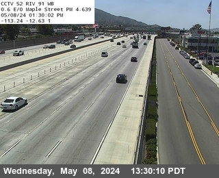 Live nowLive videoSR-91 at 0.1 Miles West of Smith, Corona
 Live nowLive videoSR-91 at Promenade Overcross, Corona
 Live nowLive videoSR-91 at Maple Street, Corona
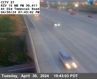 Live nowLive videoI-15 at Old Temescal Road, Corona
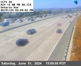 Live nowLive videoI-15 at Ontario Avenue, Corona
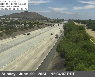 Live nowLive videoI-15 at N of 2nd Street, Norco
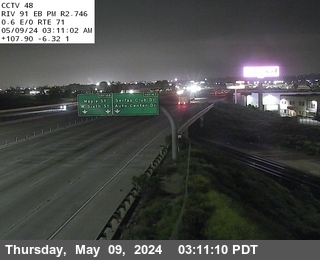 Live nowLive videoSR-91 at 0.6 Miles East of SR-71, Corona
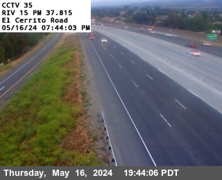 Live nowLive videoI-15 at El Cerrito Road, Corona
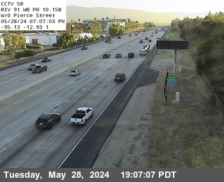 Live nowLive videoSR-91 at West of Pierce, Corona
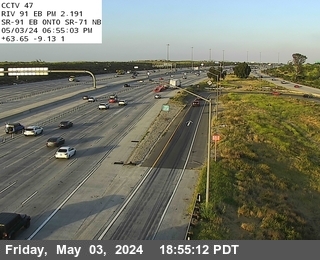 Live nowLive videoSR-91 at SR-71, Corona
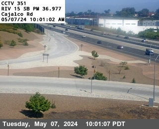 Live nowLive videoI-15 at Cajalco Road, Corona
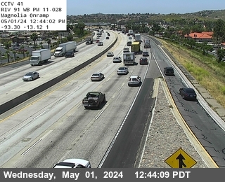 Live nowLive videoSR-91 at Magnolia Onramp, Riverside
 Live nowLive videoSR-91 at 0.5 Miles East of Green River, Corona
 Live nowLive videoSR-71 at 1 Mi N/O SR-91, Corona
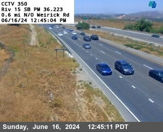 Live nowLive videoI-15 at 0.6 Miles North of Werick Road, Corona
 Live nowLive videoSR-71 at 1.7 Mi S/O Euclid, Corona
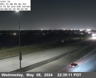 Live nowLive videoI-15 at .75mi North Of 6th Street, Mira Loma
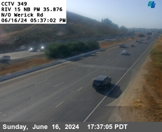 Live nowLive videoI-15 at North of Werick Road, Corona
 Live nowLive videoSR-71 at 1 Mi S/O Euclid, Corona
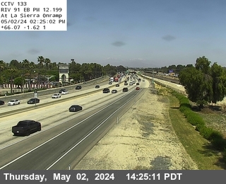 Live nowLive videoSR-91 at La Sierra, Riverside
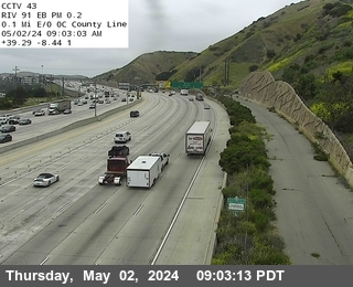 Live nowLive videoSR-91 at 0.1 Miles East of County Line, Corona
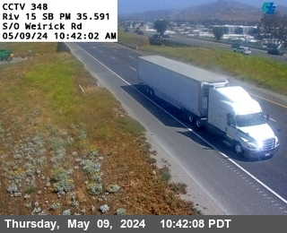 Live nowLive videoI-15 at South of Werick Road, Corona
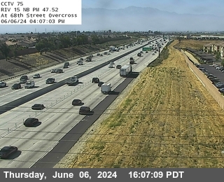 Live nowLive videoI-15 at 68th Street Overcross, Mira Loma
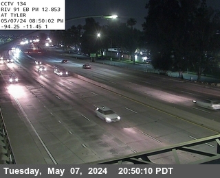 Live nowLive videoSR-91 at Tyler, Riverside
 Live nowLive videoSR-71 at Euclid Ave, Corona
 Live nowLive videoI-15 at 1.2 Miles South of Werick Road, Corona
 Live nowLive videoI-15 at Park and Ride West, Fontana
 Live nowLive videoI-15 at Park and Ride East, Eastvale
 Live nowLive videoSR-71 at Pine Onramp, Chino Hills
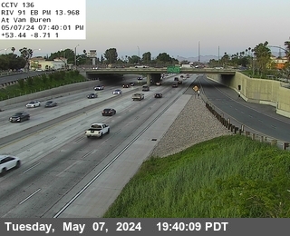 Live nowLive videoSR-91 at Van Buren, Riverside
 Live nowLive videoI-15 at North of Temescal Canyon Road, Corona
 Live nowLive videoSR-71 at 0.5 Mi N/O Pine Ave, Chino Hills
 Live nowLive videoSR-241 NB at EB SR-91 -241Connector, Yorba Linda
 Live nowLive videoSR-241 SB at SR-91 EB, Anaheim
 Live nowLive videoSR-241 at 1100 Meters South of SR-91, Anaheim
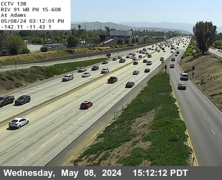 Live nowLive videoSR-91 at Adams, Riverside
 Live nowLive videoSR-241 at 600 Meters North of Windy Toll Plaza, Orange
 Live nowLive videoI-15 at N of Cantu Galleano, Mira Loma
 Live nowLive videoSR-71 at Central Offramp, Chino Hills
 WorkingStill imageSR-71 at 0.5 Mi N/O Euclid, Chino Hills
 WorkingStill imageSR-241 at 1200 Meters North of Windy Ridge Wu Toll Plaza, Anaheim
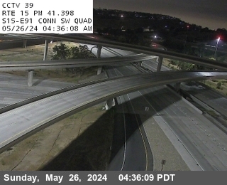 IntermittentLive videoI-15 at SR-91 Connector SW Quad, Corona
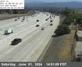 IntermittentLive videoI-15 at S of 2nd, Norco
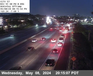 IntermittentLive videoSR-91 at Mckinley Offramp, Corona
 IntermittentLive videoSR-91 at East of Serfas Club, Corona
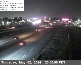 IntermittentLive videoSR-91 at 0.5 Miles West of Serfas, Corona
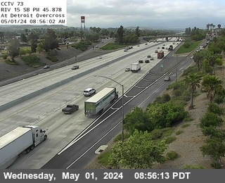 IntermittentLive videoI-15 at Detroit Overcross, Norco
 IntermittentLive videoSR-71 at 0.5 Mi N/O SR-91, Corona
 IntermittentLive videoSR-91 at Fillmore, Riverside
 IntermittentLive videoSR-91 at Green River, Corona
 IntermittentLive videoI-15 at Limonite, Mira Loma
 IntermittentLive videoSR-91 at WB SR-91 at SR-241, Coal Canyon, Yorba Linda
 IntermittentLive videoI-15 at South of Temescal Canyon Road, Corona
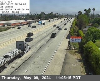 IntermittentLive videoSR-91 at Monroe, Riverside
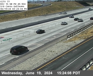 IntermittentLive videoI-15 at S of Cantu Galleano, Mira Loma
 IntermittentLive videoSR-241 at 2300 Meters North of Windy WUC Ridge Toll Plaza, Anaheim
 IntermittentLive videoI-15 at 0.9 Miles South of Temescal Canyon Road, Corona
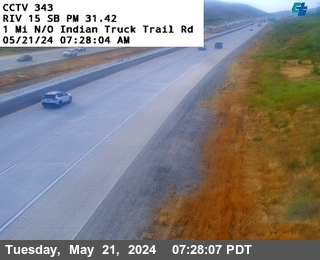 IntermittentLive videoI-15 at 1 Mile North of Indian Truck Trail Road, Corona
No live video among these cameras. Turn off "Live video only" to see them all.
Best cams to watch
- I-15 at Magnolia Avenue, Corona — Live video, working 100 % of the time in the last 30 days.
- SR-91 at 0.7 Miles West of Green River, Corona — Live video, working 100 % of the time in the last 30 days.
- SR-91 at West of Van Buren, Riverside — Live video, working 100 % of the time in the last 30 days.
Corona is a city in northwestern Riverside County, California, where the county meets Orange and San Bernardino counties at the mouth of the Santa Ana River canyon. Census takers counted roughly 157,000 Coronans in 2020. Founded in 1886 during the Southern California citrus boom, it was once called the Lemon Capital of the World, and its nickname, the Circle City, comes from Grand Boulevard, a road laid out as a full circle around the old downtown. Today the city is a commuter and business hub; Fender and Monster Beverage both have their headquarters here, and two Metrolink stations link it to Los Angeles, Orange County and Riverside.
Where three freeways meet
Caltrans supplies these views through CWWP2, its public camera data service, and each picture is a fresh snapshot rather than a stream. Corona sits at a busy junction of three freeways: State Route 91, the Riverside Freeway, runs east-west through the city toward Anaheim and Riverside; Interstate 15 cuts north-south on the east side toward Ontario and Temecula; and State Route 71, the Corona Freeway, heads north toward Chino and Pomona. Because each camera is matched to its nearest place, these views cover the interchanges and freeway stretches in and around the city, including the approach to the Santa Ana Canyon, one of the most congested commutes in the region.
Local clocks match Los Angeles, and the summer switch to daylight time adds an hour of light to the drive home through the canyon. The 91 is famously heavy in the evening heading east, as Orange County workers drive home, and in the morning heading west, so those are the hours when the views are most telling. Summer days are hot and dry, while autumn can bring gusty Santa Ana winds and, in some years, wildfire smoke in the hills. In June the sun sets around eight in the evening; in December it is dark not long after a quarter to five.
Riverside is just to the northeast, Anaheim lies to the west through the canyon, and the Cleveland National Forest rises along the Santa Ana Mountains south of town.
Sources: Corona, California - Wikipedia · Caltrans QuickMap · Caltrans CCTV data (CWWP2).
Nearby places
- Los Angeles (623)
- Riverside (248)
- Orange (205)
- San Diego (202)
- Anaheim (198)
- Buena Park (197)
- Garden Grove (196)
- Santa Ana (193)
Questions about Corona
How many cameras does LiveLocation have in Corona?
LiveLocation lists 67 cameras in and around Corona, United States: 65 live video, 2 still images. 50 of them were live or showing a fresh image at the last check.
Who runs the cameras in Corona?
All of them come from Caltrans (67). Each camera plays straight from the agency or owner that runs it, with credit. Caltrans
What can I see on the Corona cameras?
All of them show traffic and highway (67). Good ones to start with: I-15 at Magnolia Avenue, Corona and SR-91 at 0.7 Miles West of Green River, Corona. I-15 at Magnolia Avenue, Corona SR-91 at 0.7 Miles West of Green River, Corona
Can I watch live video from Corona?
Yes: 65 of the 67 cameras send live video. Turn on "Live video only" above the grid to see just those. The other 2 are still images that refresh every few minutes.
What time is it in Corona, and when is it light?
Corona is on America/Los Angeles time. On October 8 the sun rises at 6:50 AM and sets at 6:25 PM, so still images are clearest between those times. Road cameras show the most traffic in the weekday morning and evening rush hours.
Which places near Corona also have cameras?
The nearest are Norco (4.0 mi away, 24 cameras), Eastvale (6.1 mi away, 100 cameras) and Jurupa Valley (8.6 mi away, 24 cameras). Norco Eastvale Jurupa Valley
How can I see the Corona cameras on a map?
The map at the top of this page shows all 67 of them. The live camera radar centers on Corona and lists every camera within 5 to 250 miles, nearest first, with filters for live video, traffic, nature and more. Open the radar on Corona
Place names and locations: GeoNames, licensed under CC BY 4.0.