Live cameras in Encinitas, United States
72 cameras: 23 live video, 49 still images · 63 working now · updated Oct 8, 06:00 UTC
Encinitas has 72 live cameras on LiveLocation right now: 23 live video, 49 still images. Good places to start: I-5 SB 5 at Via De La Valle, Del Mar, I-5 NB 5 at Del Mar Heights B, San Diego, I-5 at SB North of Manchester T, Cardiff By The Sea. Local time is 11:00 PM (America/Los Angeles). Today the sun rises at 6:47 AM and sets at 6:25 PM.
Encinitas live cameras
Encinitas live cameras, all in one place: 23 live video, 49 still images. 63 were working at the last check. Encinitas is home to about 63,000 people.
 Live nowLive videoI-5 SB 5 at Via De La Valle, Del Mar
 Live nowLive videoI-5 NB 5 at Del Mar Heights B, San Diego
 Live nowLive videoI-5 at SB North of Manchester T, Cardiff By The Sea
 Live nowLive videoI-5 at SB at Manchester, Cardiff By The Sea
 Live nowLive videoI-5 at SB North of Lomas Santa Fe B, Solana Beach
 Live nowLive videoI-5 at SB North of Lomas Santa Fe T, Solana Beach
 Live nowLive videoI-5 at NB at Lomas Santa Fe Dr, Del Mar
 Live nowLive videoI-5 NB 5 at Del Mar Heights_T, San Diego
 Live nowLive videoSR-56 at Carmel Creek Road, San Diego
 Live nowLive videoSR-56 at Just East Of Carmel Country Road, San Diego
 Live nowLive videoSR-56 at Just West of RSF Farms Rd, San Diego
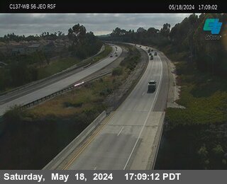 Live nowLive videoSR-56 at Just East of RSF Farms, San Diego
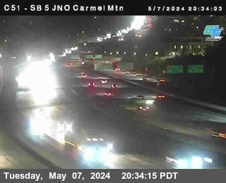 Live nowLive video(C 051) I-5 at Carmel Mountain Road_T, San Diego
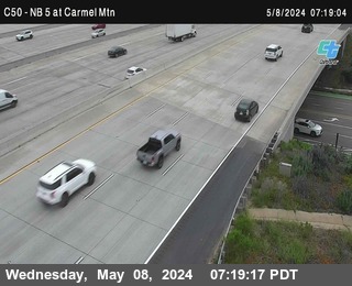 Live nowLive videoI-5 NB 5 at Carmel Mountain Road, San Diego
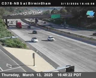 WorkingStill imageI-5 at NB 5 at Birmingham, Cardiff By The Sea
 WorkingStill imageI-5 at NB Just North of La Costa Ave Bottom, Carlsbad
 WorkingStill imageI-5 at SB SO Cannon Rd T, Carlsbad
 WorkingStill imageI-5 at Just South of Encinitas Top, Encinitas
 WorkingStill imageI-5 at Just South of Encinitas Bottom, Encinitas
 WorkingStill imageI-5 at SB at Santa Fe Drive, Cardiff By The Sea
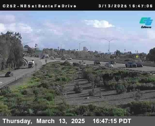 WorkingStill imageI-5 at NB at Santa Fe Drive, Encinitas
 WorkingStill imageI-5 at SB at Encinitas, Encinitas
 WorkingStill imageI-5 at Just South of Santa Fe Drive Top, Cardiff By The Sea
 WorkingStill imageI-5 at Just South of Santa Fe Drive Bottom, Cardiff By The Sea
 WorkingStill imageI-5 at NB at Encinitas, Encinitas
 WorkingStill imageI-5 at SB Just North of Encinitas Bottom, Encinitas
 WorkingStill imageI-5 at SB Just North of Encinitas Top, Encinitas
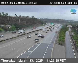 WorkingStill imageI-5 at Just South of Birmingham, San Diego
 WorkingStill imageI-5 at SB at Leucadia, Encinitas
 WorkingStill imageI-5 at NB at Leucadia Top, Encinitas
 WorkingStill imageI-5 at NB at Leucadia Bottom, Encinitas
 WorkingStill imageI-5 at Just South of La Costa Ave B, Encinitas
 WorkingStill imageI-5 at Just South of La Costa Ave T, Encinitas
 WorkingStill imageI-5 at NB at La Costa Ave Bottom, Encinitas
 WorkingStill imageI-5 at NB at La Costa Ave Top, Encinitas
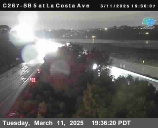 WorkingStill imageI-5 at SB at La Costa Avenue, Encinitas
 WorkingStill imageI-5 at NB at La Costa Ave, Carlsbad
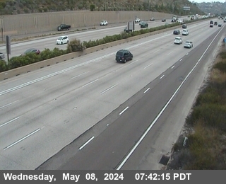 WorkingStill imageI-5 NB 5 at Lomas Santa Fe, Solana Beach
 WorkingStill imageI-5 at NB Just North of La Costa Ave Top, Carlsbad
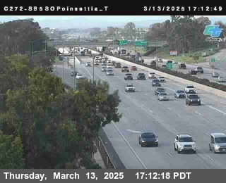 WorkingStill imageI-5 at Just South of Poinsettia Top, Carlsbad
 WorkingStill imageI-5 at Just South of Poinsettia Bottom, Carlsbad
 WorkingStill imageI-5 at NB at Poinsettia Lane, Carlsbad
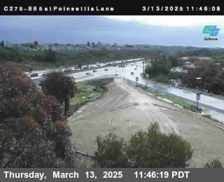 WorkingStill imageI-5 at SB at Poinsettia Lane, Carlsbad
 WorkingStill imageI-5 at SB at Palomar Airport Road, Carlsbad
 WorkingStill imageI-5 at SB SO Cannon Rd B, Carlsbad
 WorkingStill imageI-5 at NB at Cannon Rd B, Carlsbad
 WorkingStill imageI-5 at NB at Cannon Rd T, Carlsbad
 WorkingStill imageI-5 at SB at Cannon Rd B, Carlsbad
 WorkingStill imageI-5 at SB at Cannon Rd_T, Carlsbad
 WorkingStill imageI-5 at SB 5 SO Tamarack T, Carlsbad
 WorkingStill imageI-5 at SB 5 SO Tamarack B, Carlsbad
 WorkingStill imageI-5 at Just North Of SR-56_B, San Diego
 WorkingStill imageI-5 at SB at Chinquapin T, Carlsbad
 WorkingStill imageI-5 at NB at Chinquapin_B, Carlsbad
 WorkingStill imageI-5 at SB at Tamarack Blvd, Carlsbad
 WorkingStill imageI-5 at NB at Tamarack, Carlsbad
 WorkingStill imageI-5 at NB at Tamarack (on ramp), Carlsbad
 WorkingStill imageI-5 at SB at Chestnut Ave T, Carlsbad
 WorkingStill imageI-5 at SB at Chestnut Ave B, Carlsbad
 WorkingStill imageI-5 at SB at Carlsbad Village_T, Carlsbad
 WorkingStill imageI-5 I- 5 at SB at Carlsbad Village_B, Carlsbad
 WorkingStill imageI-5 at NB at Carlsbad Village T, Carlsbad
 WorkingStill imageI-5 at NB at Carlsbad Village B, Carlsbad
 IntermittentLive videoI-5 at SB North of Manchester B, Cardiff By The Sea
 IntermittentLive videoI-5 at NB at Manchester, Cardiff By The Sea
 IntermittentLive videoI-5 at SB at Lomas Santa Fe Drive T, Solana Beach
 IntermittentLive videoI-5 at SB at Lomas Santa Fe Dr B, Solana Beach
 IntermittentLive videoI-5 at SB at Lomas Santa Fe Dr, Solana Beach
 IntermittentLive videoI-5 NB 5 at Del Mar Heights, San Diego
 IntermittentLive videoI-5 at Just North Of SR-56_T, San Diego
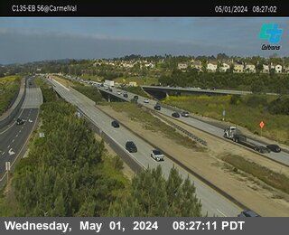 IntermittentLive videoSR-56 at Carmel Valley Road, San Diego
 IntermittentLive videoSR-56 at East Of Rancho Santa Fe Farms Road, San Diego
No live video among these cameras. Turn off "Live video only" to see them all.
Best cams to watch
- I-5 SB 5 at Via De La Valle, Del Mar — Live video, working 100 % of the time in the last 30 days.
- I-5 NB 5 at Del Mar Heights B, San Diego — Live video, working 100 % of the time in the last 30 days.
- I-5 at SB North of Manchester T, Cardiff By The Sea — Live video.
Encinitas is a beach city in North County San Diego, about twenty-five miles north of downtown San Diego. Its roughly twenty square miles include five distinct communities: Old Encinitas with its downtown and the famous Swami's surf break, New Encinitas around the shopping centers, artsy Leucadia with its eucalyptus-lined Coast Highway, Cardiff-by-the-Sea to the south, and rural Olivenhain in the hills to the east. Some 62,000 people lived in Encinitas in 2020. The city sits between Batiquitos Lagoon on the north and San Elijo Lagoon on the south, with sandstone bluffs dropping to the beaches.
The golden lotus towers of the Self-Realization Fellowship, which overlook Swami's, have been a local landmark since the 1930s, and the San Diego Botanic Garden grows plants from around the world on the inland side of town.
What the cameras show
The cameras grouped here come from Caltrans, the California Department of Transportation, through its CWWP2 camera feed. The feed delivers stills that renew every few minutes. Around Encinitas they look mostly along Interstate 5, the main north-south freeway of coastal San Diego County, which runs through the city a short distance inland from Coast Highway 101. Expect lanes, ramps and the lagoon crossings rather than beach views.
Encinitas is on Pacific Time. Weekday traffic on I-5 builds southbound toward San Diego in the morning and northbound in the late afternoon, and summer weekends bring beach traffic as well. The weather is mild most of the year, with average highs in the low seventies, but late spring often brings the marine layer the locals call May Gray and June Gloom, so mornings may look gray and misty before the sun breaks through. Most of the year's modest rainfall comes in winter.
Nearby, Carlsbad's flower fields bloom on the hills to the north each spring, and the coastal town of Del Mar, with its racetrack and fairgrounds, is a few miles south.
Sources: Encinitas, California - Wikipedia · City of Encinitas · Caltrans QuickMap.
Nearby places
- Los Angeles (623)
- Riverside (248)
- Orange (205)
- San Diego (202)
- Anaheim (198)
- Buena Park (197)
- Garden Grove (196)
- Santa Ana (193)
Questions about Encinitas
How many webcams can I watch in Encinitas?
LiveLocation lists 72 cameras in and around Encinitas, United States: 23 live video, 49 still images. 63 of them were live or showing a fresh image at the last check.
Who runs the cameras in Encinitas?
All of them come from Caltrans (72). Each camera plays straight from the agency or owner that runs it, with credit. Caltrans
What can I see on the Encinitas cameras?
All of them show traffic and highway (72). Good ones to start with: I-5 SB 5 at Via De La Valle, Del Mar and I-5 NB 5 at Del Mar Heights B, San Diego. I-5 SB 5 at Via De La Valle, Del Mar I-5 NB 5 at Del Mar Heights B, San Diego
Can I watch live video from Encinitas?
Yes: 23 of the 72 cameras send live video. Turn on "Live video only" above the grid to see just those. The other 49 are still images that refresh every few minutes.
What time is it in Encinitas, and when is it light?
Encinitas is on America/Los Angeles time. On October 7 the sun rises at 6:47 AM and sets at 6:25 PM, so still images are clearest between those times. Road cameras show the most traffic in the weekday morning and evening rush hours.
Which places near Encinitas also have cameras?
The nearest are Carlsbad (9.0 mi away, 52 cameras), San Marcos (10 mi away, 40 cameras) and Vista (12 mi away, 61 cameras). Carlsbad San Marcos Vista
How can I see the Encinitas cameras on a map?
The map at the top of this page shows all 72 of them. The live camera radar centers on Encinitas and lists every camera within 5 to 250 miles, nearest first, with filters for live video, traffic, nature and more. Open the radar on Encinitas
Place names and locations: GeoNames, licensed under CC BY 4.0.