Live cameras in Lake Elsinore, United States
41 cameras: 40 live video, 1 still image · 25 working now · updated Oct 8, 06:45 UTC
Lake Elsinore has 41 live cameras on LiveLocation right now: 40 live video, 1 still image. Good places to start: I-15 at 1.3 Miles North of Lake Street, Corona, I-15 at 0.7 Miles South of Indian Truck Trail Road, Corona, I-215 at 0.75 Miles South of McCall Boulevard, Sun City. Local time is 11:45 PM (America/Los Angeles). Today the sun rises at 6:48 AM and sets at 6:25 PM.
Lake Elsinore live cameras
Every Lake Elsinore live camera we know of: 40 live video, 1 still image. 25 of them were live or fresh at the last check. Lake Elsinore is home to about 62,000 people.
Weather now in Lake Elsinore: 79 °F (26 °C), clear sky, calm. Forecast for 12 AM local time. Weather: MET Norway (CC BY 4.0)
 Live nowLive videoI-15 at 1.3 Miles North of Lake Street, Corona
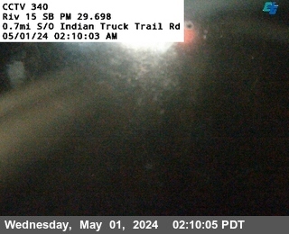 Live nowLive videoI-15 at 0.7 Miles South of Indian Truck Trail Road, Corona
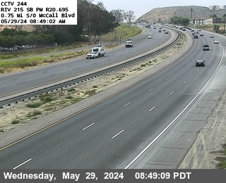 Live nowLive videoI-215 at 0.75 Miles South of McCall Boulevard, Sun City
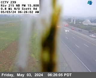 Live nowLive videoI-215 at North of Scott Road, Menifee
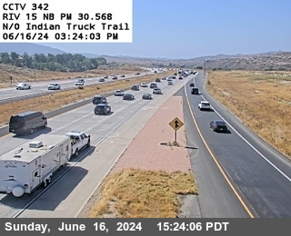 Live nowLive videoI-15 at North of Indian Truck Trail Road, Corona
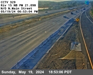 Live nowLive videoI-15 at North of North Main Street, Lake Elsinore
 Live nowLive videoI-15 at 0.8 Miles South of North Main Street, Lake Elsinore
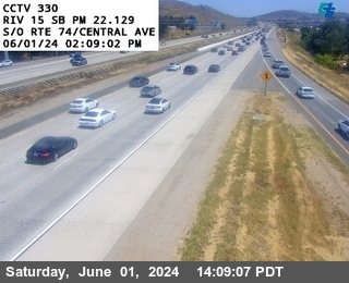 Live nowLive videoI-15 at South of SR-74 / Central Avenue, Lake Elsinore
 Live nowLive videoI-15 at North of SR-74 / Central Avenue, Lake Elsinore
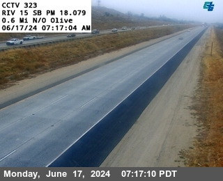 Live nowLive videoI-15 at North of Olive, Wildomar
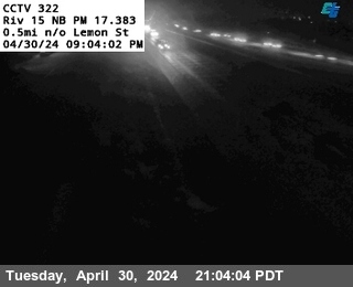 Live nowLive videoI-15 at North of Lemon Street, Wildomar
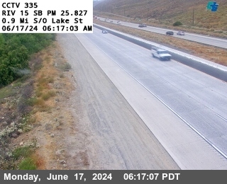 Live nowLive videoI-15 at 0.9 Miles South of Lake Street, Lake Elsinore
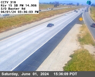 Live nowLive videoI-15 at South of Baxter Road, Wildomar
 Live nowLive videoI-15 at South of Lake Street, Lake Elsinore
 Live nowLive videoI-15 at 0.7 Mi N/O Clinton Keith, Wildomar
 Live nowLive videoI-215 at 1.25 Miles South of McCall Boulevard, Sun City
 Live nowLive videoI-10 at W/O Sandalwood Drive, Calimesa
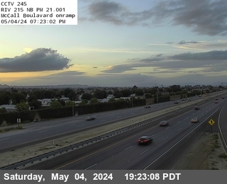 Live nowLive videoI-215 at North of McCall Boulevard, Menifee
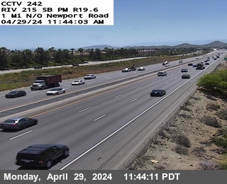 Live nowLive videoI-215 at 1 Mile North of Newport Road, Sun City
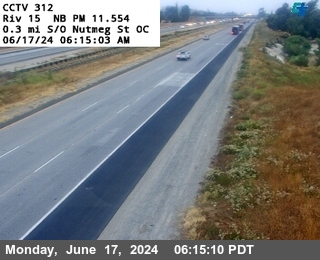 Live nowLive videoI-15 at 0.3 mi S/O Nutmeg St OC, Murrieta
 Live nowLive videoI-215 at 1.2 Miles South of Newport Road, Menifee
 Live nowLive videoI-215 at 1 Mile North of McCall Boulevard, Sun City
 Live nowLive videoI-215 at Scott Road Offramp, Menifee
 Live nowLive videoI-215 at 0.7 Miles South of Scott Road, Menifee
 WorkingStill imageI-215 at Newport Road Bridge, Menifee
 IntermittentLive videoI-15 at South of North Main Street, Lake Elsinore
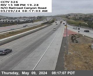 IntermittentLive videoI-15 at North of Railroad Canyon Road, Lake Elsinore
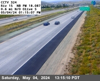 IntermittentLive videoI-15 at North of Olive, Lake Elsinore
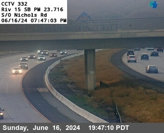 IntermittentLive videoI-15 at South of Nichols Road, Lake Elsinore
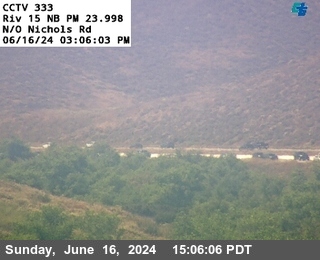 IntermittentLive videoI-15 at North of Nichols Road, Lake Elsinore
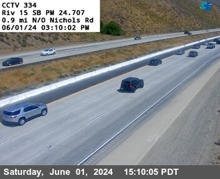 IntermittentLive videoI-15 at 0.9 Miles North of Nichols Road, Lake Elsinore
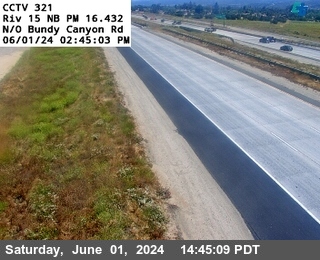 IntermittentLive videoI-15 at North of Bundy Canyon Road, Wildomar
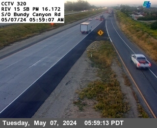 IntermittentLive videoI-15 at South of Bundy Canyon Road, Wildomar
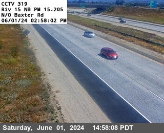 IntermittentLive videoI-15 at North of Baxter Road, Wildomar
 IntermittentLive videoI-15 at North of Lake Street, Corona
 IntermittentLive videoI-15 at 0.7 miles North of Clinton Keith, Wildomar
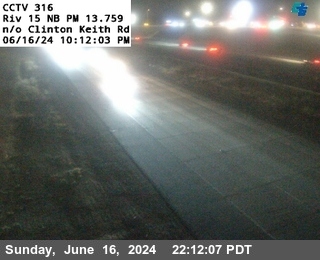 IntermittentLive videoI-15 at North Clinton Keith, Murrieta
 IntermittentLive videoI-15 at South of Horsethief Canyon Road, Corona
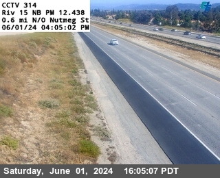 IntermittentLive videoI-15 at 0.6 Miles North of Nutmeg, Murrieta
 IntermittentLive videoI-15 at North of Nutmeg Street Overcross, Murrieta
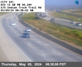 IntermittentLive videoI-15 at South of Indian Truck Trail Road, Corona
No live video among these cameras. Turn off "Live video only" to see them all.
Best cams to watch
- I-15 at 1.3 Miles North of Lake Street, Corona — Live video, working 100 % of the time in the last 30 days.
- I-15 at 0.7 Miles South of Indian Truck Trail Road, Corona — Live video, working 100 % of the time in the last 30 days.
- I-215 at 0.75 Miles South of McCall Boulevard, Sun City — Live video, working 100 % of the time in the last 30 days.
Lake Elsinore is a city of about 70,000 people in western Riverside County, built around the lake of the same name, the largest natural freshwater lake in Southern California. The lake gathers the water of the San Jacinto River and is framed by the Elsinore Mountains, part of the Santa Ana range, on the west and the lower Temescal Mountains on the east. Founded in the 1880s and once known for its hot springs resorts, the town is now a growing commuter city between the Inland Empire and San Diego County, with a minor league ballpark that is home to the Lake Elsinore Storm and a long tradition of skydiving, motocross and gliding from its east end.
Its cameras are part of the Caltrans network and are published through the agency's CWWP2 feed, mostly as still pictures that refresh every few minutes. Interstate 15 is the main road through the city, carrying traffic between Corona, Temecula and San Diego, and many of the views look over its lanes and ramps. State Route 74, the winding Ortega Highway, climbs west from town over the mountains toward San Juan Capistrano, and its eastern end runs on toward Perris and Hemet.
When to look
The city is on Pacific Time. Weekday mornings bring heavy northbound traffic toward Orange County and Los Angeles, and the southbound return builds through the afternoon. Summers are hot and dry, and the hills above the lake can carry wildfire smoke in autumn when Santa Ana winds blow. After a wet winter, the hills of Walker Canyon just north of town can be covered in orange poppies in March and April; the bloom of 2019 drew so many visitors that freeway traffic backed up for miles.
- Late afternoon: sunlight across the lake and mountains.
- Spring after rain: green hills and wildflowers.
Nearby, Temecula's wine country lies about twenty minutes south along the interstate.
Sources: Lake Elsinore, California - Wikipedia · City of Lake Elsinore · Caltrans QuickMap.
Nearby places
- Los Angeles (623)
- Riverside (248)
- Orange (205)
- San Diego (202)
- Anaheim (198)
- Buena Park (197)
- Garden Grove (196)
- Santa Ana (193)
Questions about Lake Elsinore
How many webcams can I watch in Lake Elsinore?
LiveLocation lists 41 cameras in and around Lake Elsinore, United States: 40 live video, 1 still image. 25 of them were live or showing a fresh image at the last check.
Where do the Lake Elsinore cameras come from?
All of them come from Caltrans (41). Each camera plays straight from the agency or owner that runs it, with credit. Caltrans
What kinds of views are there in Lake Elsinore?
All of them show traffic and highway (41). Good ones to start with: I-15 at 1.3 Miles North of Lake Street, Corona and I-15 at 0.7 Miles South of Indian Truck Trail Road, Corona. I-15 at 1.3 Miles North of Lake Street, Corona I-15 at 0.7 Miles South of Indian Truck Trail Road, Corona
Is there live video from Lake Elsinore?
Yes: 40 of the 41 cameras send live video. Turn on "Live video only" above the grid to see just those. The other 1 are still images that refresh every few minutes.
When is the best time to watch the Lake Elsinore cameras?
Lake Elsinore is on America/Los Angeles time. On October 7 the sun rises at 6:48 AM and sets at 6:25 PM, so still images are clearest between those times. Road cameras show the most traffic in the weekday morning and evening rush hours.
Are there live cameras near Lake Elsinore?
The nearest are Wildomar (5.5 mi away, 15 cameras), Perris (9.7 mi away, 37 cameras) and Murrieta (10 mi away, 40 cameras). Wildomar Perris Murrieta
Is there a map of the cameras in Lake Elsinore?
The map at the top of this page shows all 41 of them. The live camera radar centers on Lake Elsinore and lists every camera within 5 to 250 miles, nearest first, with filters for live video, traffic, nature and more. Open the radar on Lake Elsinore
Place names and locations: GeoNames, licensed under CC BY 4.0.