Live cameras in Long Beach, United States
92 cameras: 82 live video, 10 still images · 38 working now · updated Oct 8, 03:38 UTC
Long Beach has 92 live cameras on LiveLocation right now: 82 live video, 10 still images. Good places to start: Tropical reef aquarium, Aquarium of the Pacific, Long Beach, I-405 at North of I-605, Los Alamitos, SR-22 at South of 405, Seal Beach. Local time is 8:38 PM (America/Los Angeles). Today the sun rises at 6:51 AM and sets at 6:29 PM.
Long Beach live cameras
Every Long Beach live camera we know of: 82 live video, 10 still images. 38 of them were live or fresh at the last check. Long Beach is home to about 474,000 people.
Weather now in Long Beach: 77 °F (25 °C), clear sky, wind 11 mph (18 km/h) from the west. Forecast for 9 PM local time. Weather: MET Norway (CC BY 4.0)
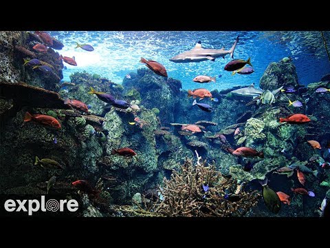 Live nowYouTube liveTropical reef aquarium, Aquarium of the Pacific, Long Beach
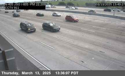
 Live nowLive videoI-405 at North of I-605, Los Alamitos
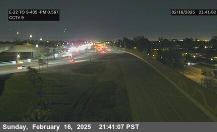 Live nowLive videoSR-22 at South of 405, Seal Beach
 Live nowLive videoI-110 at N/O Carson St, Carson
 Live nowLive videoSR-1 at Crenshaw Blvd, Torrance
 Live nowLive videoI-710 at Pico Ave, Long Beach
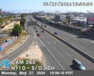 Live nowLive videoI-710 at South of PCH, Long Beach
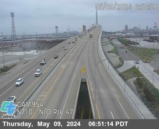 Live nowLive videoI-710 at North of SR-47, Long Beach
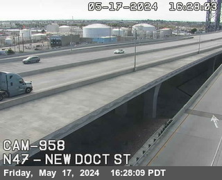 Live nowLive videoSR-47 at New Dock St, Long Beach
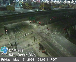 Live nowLive videoSR-47 at Ocean Blvd, Long Beach
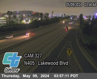 Live nowLive videoI-405 at Lakewood Blvd, Long Beach
 Live nowLive videoI-405 at East of Alameda St, Long Beach
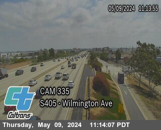 Live nowLive videoI-405 at Wilmington Ave, Carson
 Live nowLive videoI-110 at PCH On-Ramp, Wilmington
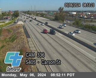 Live nowLive videoI-405 at Carson St, Carson
 Live nowLive videoSR-47 at I-110, San Pedro
 Live nowLive videoI-405 at I-605, Long Beach
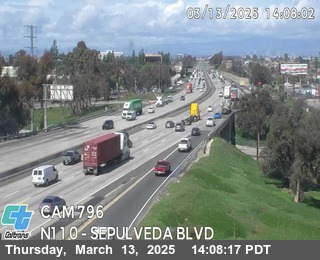 Live nowLive videoI-110 at Sepulveda Blvd, Carson
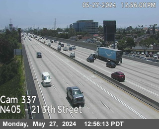 Live nowLive videoI-405 at 213th Street, Carson
 Live nowLive videoI-405 I_405 at SO I-605, Seal Beach
 Live nowLive videoI-110 at 223rd St On-Ramp, Torrance
 Live nowLive videoI-110 at Carson St Off-Ramp, Torrance
 Live nowLive videoI-405 at Seal Beach Boulevard, Seal Beach
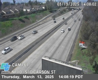 Live nowLive videoI-110 at S/O Carson St, UCLA Medical Center
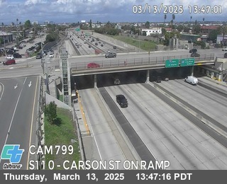 Live nowLive videoI-110 at Carson St On-Ramp, Torrance
 Live nowLive videoI-405 at North of SR-22, Seal Beach
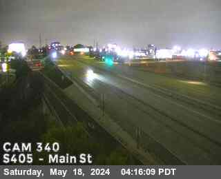 Live nowLive videoI-405 at Main St, Long Beach
 Live nowLive videoI-110 at Torrance Blvd On-Ramp, Torrance
 Live nowLive videoI-110 at Torrance Blvd On-Ramp, Torrance
 Live nowLive videoI-110 at South of I-405, Gardena
 Live nowLive videoI-405 at North of RTE 22, Seal Beach
 Live nowLive videoI-405 at South of Bolsa Chica, Westminster
 WorkingStill imageI-405 at Orange Ave, Signal Hill
 WorkingStill imageI-710 at North of I-710 / I-405, Long Beach
 WorkingStill imageI-710 at Artesia Bl, Long Beach
 WorkingStill imageI-710 at Alondra Blvd, Long Beach
 WorkingStill imageI-405 at South of SR-22, Westminster
 WorkingStill imageSR-22 at Valley View Avenue, Westminster
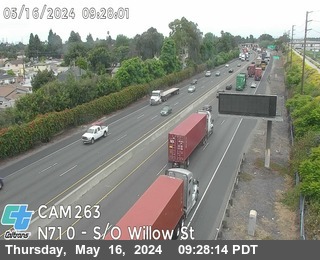 IntermittentLive videoI-710 at South of Willow Street, Long Beach
 IntermittentLive videoI-710 at Willow St, Long Beach
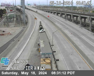 IntermittentLive videoSR-47 at Pier AWay, Long Beach
 IntermittentLive videoI-710 at N/O Willow St, Long Beach
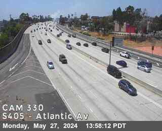 IntermittentLive videoI-405 at Atlantic Ave, Carson
 IntermittentLive videoI-405 at West of Pacific Place, Los Angeles
 IntermittentLive videoI-405 at Sante Fe Ave, Long Beach
 IntermittentLive videoSR-47 at East of Ferry, San Pedro
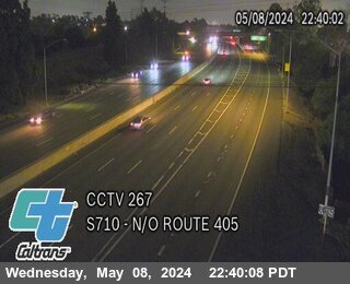 IntermittentLive videoI-710 at North of I-405, xxx
 IntermittentLive videoI-405 at Bellflower Blvd, Long Beach
 IntermittentLive videoSR-47 at West Tower, San Pedro
 IntermittentLive videoI-110 at PCH Off-Ramp, Wilmington
 IntermittentLive videoI-110 at PCH On-Ramp, Harbor City
 IntermittentLive videoI-405 at Palo Verde Ave, Long Beach
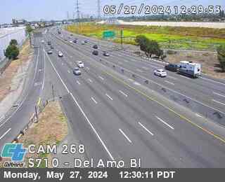 IntermittentLive videoI-710 at Del Amo Bl, Long Beach
 IntermittentLive videoI-110 at John Gibson Bl On-Ramp, San Pedro
 IntermittentLive videoI-110 at Channel St Off-Ramp, San Pedro
 IntermittentLive videoI-110 at Gaffey St, San Pedro
 IntermittentLive videoI-110 at Sepulveda Blvd, West Carson
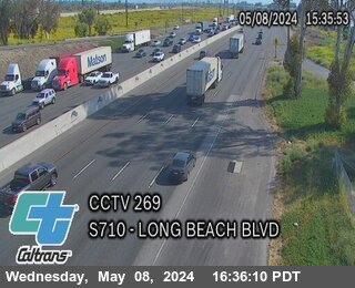 IntermittentLive videoI-710 at Long Beach Blvd, Long Beach
 IntermittentLive videoI-110 at N/O Sepulveda Blvd, West Carson
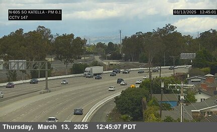 IntermittentLive videoI-605 at S/O Katella Avenue, Los Alamitos
 IntermittentLive videoI-405 at North of Avalon Blvd, Gardena
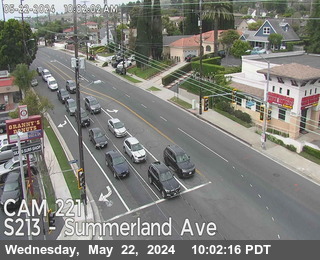 IntermittentLive videoSR-213 at Summerland Ave, San Pedro
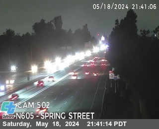 IntermittentLive videoI-605 at Spring St, Long Beach
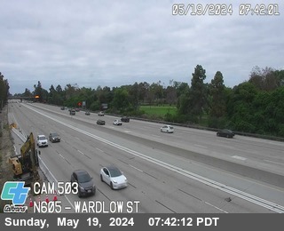 IntermittentLive videoI-605 at Wardlow St, Long Beach
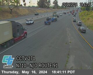 IntermittentLive videoI-710 at N/O Route 91, Lynwood
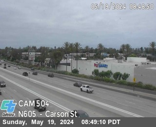 IntermittentLive videoI-605 at Carson St Off-Ramp, Long Beach
 IntermittentLive videoSR-91 at West of Wilmington Ave, Compton
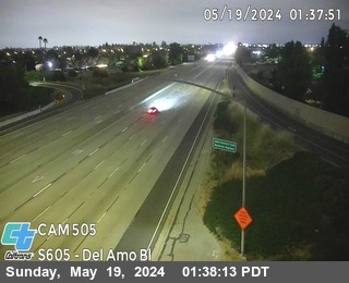 IntermittentLive videoI-605 at Del Amo Blvd On-Ramp, Lakewood
 IntermittentLive videoSR-91 at West of Central Ave, CSUDH
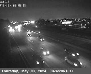 IntermittentLive videoI-405 at West of I-110, Gardena
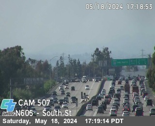 IntermittentLive videoI-605 at South St On-Ramp, Cerritos
 IntermittentLive videoI-110 at 190th St, Gardena
 IntermittentLive videoSR-91 at W/O Main St, West Rancho Dominguez
 IntermittentLive videoI-405 at Normandie Ave, Gardena
 IntermittentLive videoI-605 at Artesia Blvd, Cerritos
 IntermittentLive videoI-405 at Western Ave, Torrance
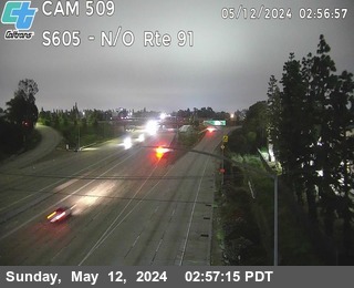 IntermittentLive videoI-605 at North of SR-91, Cerritos
 OfflineLive videoSR-47 at West of Harbor Blvd, San Pedro
 OfflineLive videoSR-91 at East of Bixby / Bellflower, Bellflower
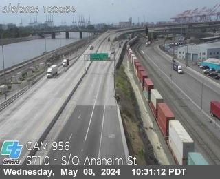 OfflineLive videoI-710 at South of Anaheim St, Long Beach
 OfflineLive videoSR-91 at E/O Long Beach, Compton
 OfflineLive videoSR-91 at Alameda St, Compton
 OfflineLive videoSR-91 at E/O Atlantic Blvd, Paramount
 OfflineLive videoSR-91 at Paramount, Long Beach
 OfflineLive videoSR-91 at Downey Ave, Bellflower
 OfflineLive videoSR-91 at W/O Clark Ave, Bellflower
 OfflineLive videoSR-91 at East of Avalon Blvd, Stevenson Park
 OfflineLive videoSR-91 at West of I-605, Cerritos
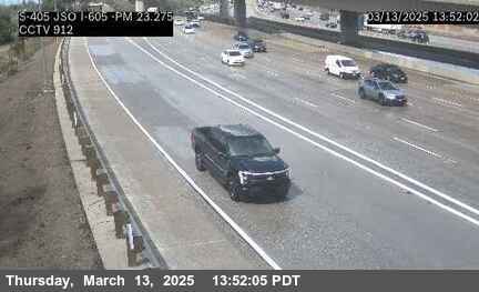 OfflineStill imageI-405 at SB JSO I-605, Seal Beach
 OfflineStill imageI-605 at N/O Katella, Los Alamitos
 OfflineStill imageI-405 at NB JSO I-605, Seal Beach
 OfflineStill imageI-110 at North of I-405, Gardena
No live video among these cameras. Turn off "Live video only" to see them all.
Best cams to watch
- Tropical reef aquarium, Aquarium of the Pacific, Long Beach — YouTube live, working 100 % of the time in the last 30 days.
- I-405 at North of I-605, Los Alamitos — Live video, working 100 % of the time in the last 30 days.
- SR-22 at South of 405, Seal Beach — Live video, working 100 % of the time in the last 30 days.
Long Beach is a port city of about 467,000 people (2020 census) on San Pedro Bay, at the southern edge of Los Angeles County. It has about 51 square miles of land and a long waterfront that runs from the busy container port in the west to the canals of Naples and the beach at Belmont Shore in the east. The Port of Long Beach is the second busiest container port in the United States, and across the water the retired ocean liner Queen Mary is permanently docked as a hotel and attraction. Downtown, Bixby Knolls and California Heights each have their own easygoing character.
Most cameras on this page are Caltrans highway cameras, official and public domain, with still snapshots that refresh every few minutes. The Long Beach Freeway (I-710) runs down to the port, the San Diego Freeway (I-405) crosses the city, the San Gabriel River Freeway (I-605) runs along its east side, and Pacific Coast Highway (SR 1) runs through town.
One view is very different: a live stream from the tropical reef habitat at the Aquarium of the Pacific, which opened on Rainbow Harbor in 1998. Shared through Explore.org on YouTube, it looks into the aquarium's largest exhibit, about 350,000 gallons, inspired by the reefs of Palau and full of colorful wrasse, anthias and a zebra shark. Now and then a diver appears to clean the tank or feed the fish. Like any stream, it can go offline for a while.
Long Beach is on Pacific Time, UTC minus 8 in winter and minus 7 in daylight time. The climate is mild, with August the warmest month and most rain falling in winter. May and June often start gray under the marine layer. In April the Grand Prix of Long Beach brings IndyCar racing to downtown streets and heavy traffic around it. The aquarium stream looks best during the day, when the exhibit lights are on.
On our map, Carson and Lakewood border the city, and Los Angeles itself has hundreds more freeway views to the north.
Sources: Long Beach, California - Wikipedia · Aquarium of the Pacific - Wikipedia · Tropical Reef Habitat Cam - Explore.org · Caltrans CCTV documentation.
Nearby places
- Los Angeles (623)
- Riverside (248)
- Orange (205)
- San Diego (202)
- Anaheim (198)
- Buena Park (197)
- Garden Grove (196)
- Santa Ana (193)
Questions about Long Beach
How many webcams can I watch in Long Beach?
LiveLocation lists 92 cameras in and around Long Beach, United States: 82 live video, 10 still images. 38 of them were live or showing a fresh image at the last check.
Who runs the cameras in Long Beach?
They come from Caltrans (91) and Curated YouTube live streams (1). Each camera plays straight from the agency or owner that runs it, with credit. Caltrans Curated YouTube live streams
What can I see on the Long Beach cameras?
The views are traffic and highway (91) and reef (1). Good ones to start with: Tropical reef aquarium, Aquarium of the Pacific, Long Beach and I-405 at North of I-605, Los Alamitos. Tropical reef aquarium, Aquarium of the Pacific, Long Beach I-405 at North of I-605, Los Alamitos
Can I watch live video from Long Beach?
Yes: 82 of the 92 cameras send live video (1 on YouTube). Turn on "Live video only" above the grid to see just those. The other 10 are still images that refresh every few minutes.
What time is it in Long Beach, and when is it light?
Long Beach is on America/Los Angeles time. On October 7 the sun rises at 6:51 AM and sets at 6:29 PM, so still images are clearest between those times. Road cameras show the most traffic in the weekday morning and evening rush hours.
Which places near Long Beach also have cameras?
The nearest are Seal Beach (5.5 mi away, 15 cameras), Carson (6.6 mi away, 124 cameras) and West Carson (6.7 mi away, 42 cameras). Seal Beach Carson West Carson
How can I see the Long Beach cameras on a map?
The map at the top of this page shows all 92 of them. The live camera radar centers on Long Beach and lists every camera within 5 to 250 miles, nearest first, with filters for live video, traffic, nature and more. Open the radar on Long Beach
Place names and locations: GeoNames, licensed under CC BY 4.0.