Live cameras in Moreno Valley, United States
78 cameras: 66 live video, 12 still images · 56 working now · updated Oct 8, 05:59 UTC
Moreno Valley has 78 live cameras on LiveLocation right now: 66 live video, 12 still images. Good places to start: SR-60 at 0.5 Mi W/O Redlands Blvd, Moreno Valley, I-215 at Harley Knox, Perris, SR-91 at East of Third Street, Riverside. Local time is 10:59 PM (America/Los Angeles). Today the sun rises at 6:48 AM and sets at 6:25 PM.
Moreno Valley live cameras
Moreno Valley live cameras, all in one place: 66 live video, 12 still images. 56 of them were live or fresh at the last check. Moreno Valley is home to about 204,000 people.
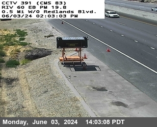 Live nowLive videoSR-60 at 0.5 Mi W/O Redlands Blvd, Moreno Valley
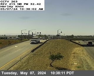 Live nowLive videoI-215 at Harley Knox, Perris
 Live nowLive videoSR-91 at East of Third Street, Riverside
 Live nowLive videoI-215 at South of Washington, Grand Terrace
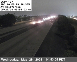 Live nowLive videoI-10 at California, Redlands
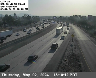 Live nowLive videoI-10 at East of Waterman, San Bernardino
 Live nowLive videoSR-60 at Perris Boulevard, Moreno Valley
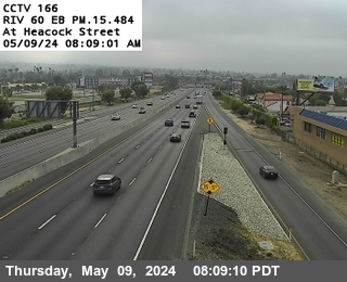 Live nowLive videoSR-60 at Heacock, Moreno Valley
 Live nowLive videoSR-60 at West of Heacock, Moreno Valley
 Live nowLive videoSR-60 at Frederick / Pigeon Pass Road, Moreno Valley
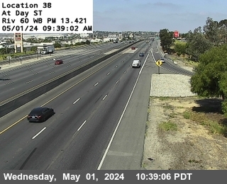 Live nowLive videoSR-60 at Day Street, Moreno Valley
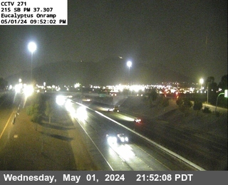 Live nowLive videoI-215 at Eucalyptus, Riverside
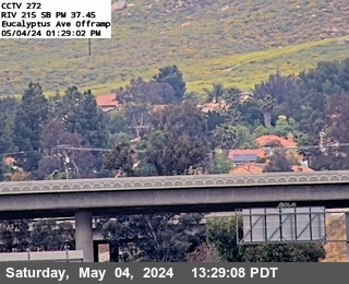 Live nowLive videoI-215 at Eucalyptus Avenue, Riverside
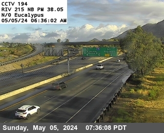 Live nowLive videoI-215 at N of Eucalyptus, Riverside
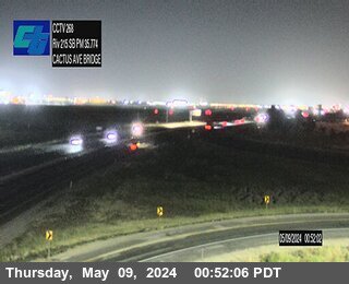 Live nowLive videoI-215 at Cactus Avenue, March Air Reserve Base
 Live nowLive videoI-215 at Alessandro Onramp, March Air Reserve Base
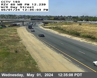 Live nowLive videoSR-60 at West Of Day Street, Riverside
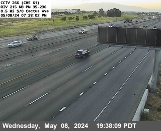 Live nowLive videoI-215 at 0.5 Miles South of Cactus Avenue, March Air Reserve Base
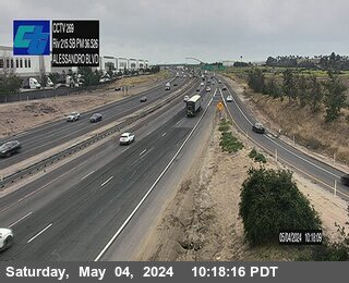 Live nowLive videoI-215 at North Alessandro, Riverside
 Live nowLive videoI-215 at s/o Box Springs Road, Riverside
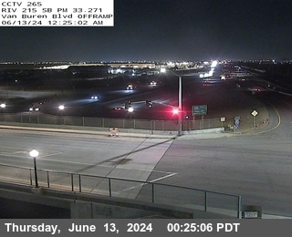 Live nowLive videoI-215 at Van Buren Boulevard Offramp, March Air Reserve Base
 Live nowLive videoI-215 at S of M.L. King Boulevard, Riverside
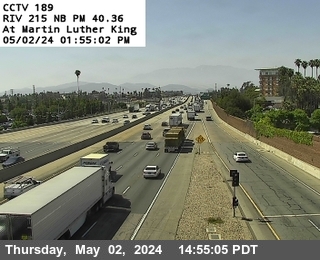 Live nowLive videoI-215 at M.L. King Boulevard, Riverside
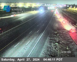 Live nowLive videoI-215 at Ramona Expressway, Perris
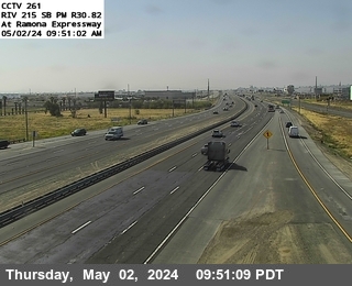 Live nowLive videoI-215 at Ramona Expressway, Perris
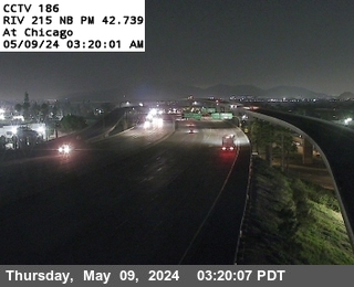 Live nowLive videoI-215 at Chicago Avenue, Riverside
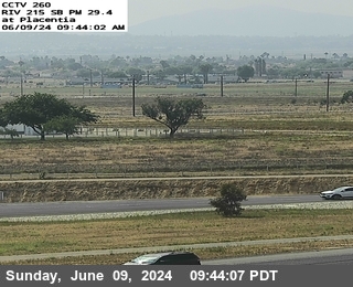 Live nowLive videoI-215 at Placentia Avenue, Perris
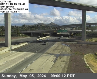 Live nowLive videoSR-91 at East Of Spruce Street, Riverside
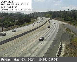 Live nowLive videoI-10 at East of Ford Street, Redlands
 Live nowLive videoSR-60 at East of Main Street, Riverside
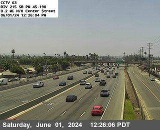 Live nowLive videoI-215 at 1.4 Miles N of Columbia, Riverside
 Live nowLive videoI-215 at 0.3 Mi N/O Iowa, Colton
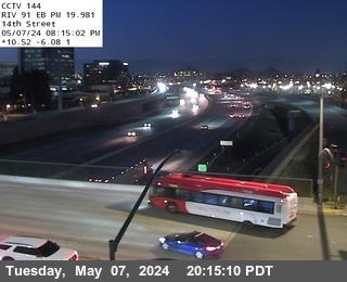 Live nowLive videoSR-91 at 14th, Riverside
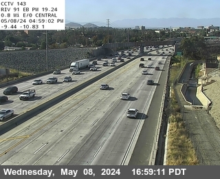 Live nowLive videoSR-91 at 0.5 Miles North Of Central, Riverside
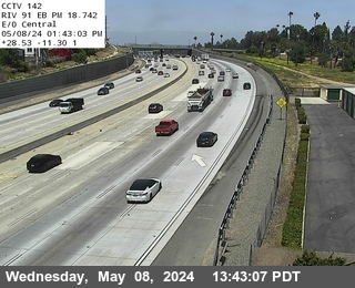 Live nowLive videoSR-91 at Central, Riverside
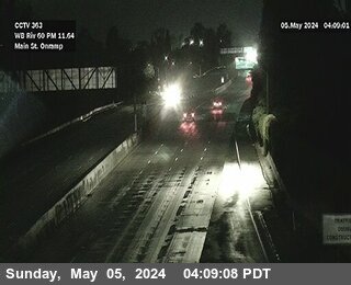 Live nowLive videoSR-60 at Main Street, Riverside
 Live nowLive videoI-215 at Southbound North of Nuevo Road, Perris
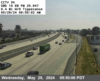 Live nowLive videoI-10 at West of Tippecanoe, Loma Linda
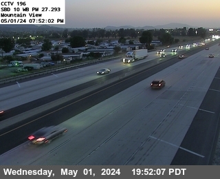 Live nowLive videoI-10 at Mountain View, Loma Linda
 Live nowLive videoI-215 at South Of I-10, Colton
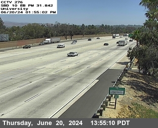 Live nowLive videoI-10 at University Dr., SBD 10 University
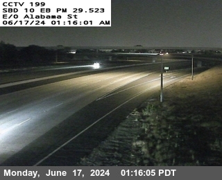 Live nowLive videoI-10 at East of Alabama, Redlands
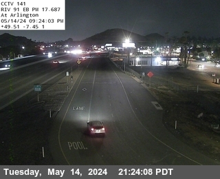 Live nowLive videoSR-91 at Arlington, Riverside
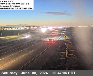 Live nowLive videoI-215 at North of Nuevo Road, Perris
 Live nowStill imageI-10 at Yucaipa Blvd. EB Onramp, Yucaipa Blvd. WB Onramp
 WorkingStill imageSR-60 at w/o Nason Street, Moreno Valley
 WorkingStill imageSR-60 e/o Perris Blvd., Moreno Valley
 WorkingStill imageSR-60 at Nason St., Moreno Valley
 WorkingStill imageSR-60 at Redlands Blvd Ave., Moreno Valley
 WorkingStill imageSR-60 w/o WLC Parkway, Moreno Valley
 WorkingStill imageSR-60 at e/o WLC Pkwy/Thedore St, Moreno Valley
 WorkingStill imageSR-60 at Gilman Springs Rd., Moreno Valley
 WorkingStill imageSR-60 e/o Gilman Springs Rd., Moreno Valley
 WorkingStill imageSR-60 at 1.5 mi e/o Gilman Springs, Moreno Valley
 WorkingStill imageI-10 at W/O Wabash Ave, Yucaipa
 WorkingStill imageSR-60 at 3 mi e/o Gilman Springs, Moreno Valley
 IntermittentLive videoI-215 at University Avenue, Riverside
 IntermittentLive videoSR-60 at Moreno Beach Blvd, Moreno Valley
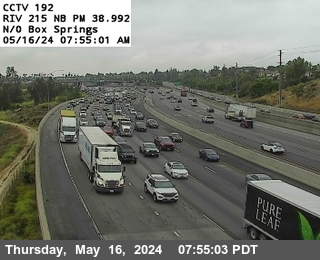 IntermittentLive videoI-215 at n/o Box Springs Road, Riverside
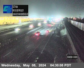 IntermittentLive videoI-215 at 0.9 Miles South of Van Buren Boulevard, March Air Reserve Base
 IntermittentLive videoI-215 at N of Central, Riverside
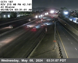 IntermittentLive videoI-215 at Blaine Street, Riverside
 IntermittentLive videoSR-91 at SR-60 / I-215 South East Quad, Riverside
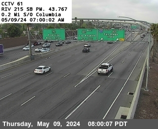 IntermittentLive videoI-215 at 0.2 Miles S of Columbia, Riverside
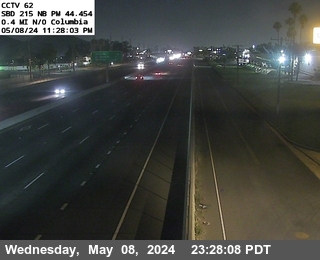 IntermittentLive videoI-215 at 0.4 Miles N of Columbia, Riverside
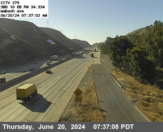 IntermittentLive videoI-10 at Wabash Ave, Wabash Ave
 IntermittentLive videoSR-91 at Mission Inn Ave, Riverside
 IntermittentLive videoI-10 at West of Ford Street, Redlands
 IntermittentLive videoI-10 at 0.7 mi w/o Yucaipa Blvd, Wabash Ave
 IntermittentLive videoI-215 at Barton Road, Grand Terrace
 IntermittentLive videoI-215 at North Of Washington, Colton
 IntermittentLive videoI-10 at Yucaipa Blvd, Yucaipa Blvd. WB Onramp
 IntermittentLive videoI-10 at Cypress Ave, E. Cypress Ave
 IntermittentLive videoI-10 at I-210, Redlands
 IntermittentLive videoI-10 at Nevada Street, Redlands
 IntermittentLive videoI-10 at E/O TIPPECANOE, San Bernardino
 IntermittentLive videoI-10 at Orange St., SBD 10 Orange St.
 IntermittentLive videoI-10 at Sixth St Onramp, 6th street
No live video among these cameras. Turn off "Live video only" to see them all.
Best cams to watch
- SR-60 at 0.5 Mi W/O Redlands Blvd, Moreno Valley — Live video, working 100 % of the time in the last 30 days.
- I-215 at Harley Knox, Perris — Live video, working 100 % of the time in the last 30 days.
- SR-91 at East of Third Street, Riverside — Live video, working 100 % of the time in the last 30 days.
Moreno Valley is a city in Riverside County, California, in the eastern Inland Empire, and with about 209,000 residents counted in 2020 it ranks just behind Riverside as the county's second-biggest city. It was incorporated only in 1984, joining the older farm communities of Sunnymead, Edgemont and Moreno. Moreno, Spanish for brown, honors Frank E. Brown, a founder of the original settlement in 1882 who did not want the town named after himself. His water company piped water down from Bear Valley in the San Bernardino Mountains so that farmers could plant orchards here.
People lived in this valley long before that; archaeologists have recorded hundreds of milling sites and rock-art boulders in the hills, and the Juan Bautista de Anza trail passed through the Edgemont area. Today large warehouses, the Riverside University Health System medical center and March Air Reserve Base, just south of the city, are major employers.
Highway 60 and I-215 views
Caltrans operates the cameras gathered here, and their pictures come from the agency's CWWP2 list, which also feeds the QuickMap website. Expect a new snapshot every few minutes instead of moving video. State Route 60, the Moreno Valley Freeway, crosses the city from west to east, and Interstate 215 runs along its western side between Riverside and Perris. East of town, Highway 60 climbs through the Badlands toward Beaumont and Banning, a stretch known for steep grades, wind and slow trucks.
Picture times here are Pacific, in line with Riverside and Los Angeles. Summer afternoons regularly pass one hundred degrees, and late-day thunderstorms sometimes build over the mountains in August. Santa Ana wind events in autumn can raise dust and fire danger, while winter mornings may bring patchy fog. The westbound morning commute toward Riverside and Orange County is the busiest window of the day.
Lake Perris State Recreation Area, with its reservoir and the rocky Bernasconi Hills, lies a few miles south, and the city of Riverside, with the historic Mission Inn, is just west.
Sources: Moreno Valley, California - Wikipedia · California State Route 60 - Wikipedia · Caltrans QuickMap.
Nearby places
- Los Angeles (623)
- Riverside (248)
- Orange (205)
- San Diego (202)
- Anaheim (198)
- Buena Park (197)
- Garden Grove (196)
- Santa Ana (193)
Questions about Moreno Valley
How many live cameras are there in Moreno Valley?
LiveLocation lists 78 cameras in and around Moreno Valley, United States: 66 live video, 12 still images. 56 of them were live or showing a fresh image at the last check.
Where do the Moreno Valley cameras come from?
All of them come from Caltrans (78). Each camera plays straight from the agency or owner that runs it, with credit. Caltrans
What kinds of views are there in Moreno Valley?
All of them show traffic and highway (78). Good ones to start with: SR-60 at 0.5 Mi W/O Redlands Blvd, Moreno Valley and I-215 at Harley Knox, Perris. SR-60 at 0.5 Mi W/O Redlands Blvd, Moreno Valley I-215 at Harley Knox, Perris
Is there live video from Moreno Valley?
Yes: 66 of the 78 cameras send live video. Turn on "Live video only" above the grid to see just those. The other 12 are still images that refresh every few minutes.
When is the best time to watch the Moreno Valley cameras?
Moreno Valley is on America/Los Angeles time. On October 7 the sun rises at 6:48 AM and sets at 6:25 PM, so still images are clearest between those times. Road cameras show the most traffic in the weekday morning and evening rush hours.
Are there live cameras near Moreno Valley?
The nearest are Loma Linda (7.9 mi away, 28 cameras), Mead Valley (8.1 mi away, 11 cameras) and Redlands (8.6 mi away, 78 cameras). Loma Linda Mead Valley Redlands
Is there a map of the cameras in Moreno Valley?
The map at the top of this page shows all 78 of them. The live camera radar centers on Moreno Valley and lists every camera within 5 to 250 miles, nearest first, with filters for live video, traffic, nature and more. Open the radar on Moreno Valley
Place names and locations: GeoNames, licensed under CC BY 4.0.