Live cameras in Oakland, United States
172 cameras: 45 live video, 127 still images · 148 working now · updated Oct 8, 03:32 UTC
Oakland has 172 live cameras on LiveLocation right now: 45 live video, 127 still images. Good places to start: I-580 at Just East Of Beaumont Avenue, Oakland, I-580 at Grand Lakeshore, Oakland, SR-260 at Posey Tube Tunnel Entrance, Alameda. Local time is 8:32 PM (America/Los Angeles). Today the sun rises at 7:10 AM and sets at 6:43 PM.
Oakland live cameras
Oakland live cameras, all in one place: 45 live video, 127 still images. 148 of them were live or fresh at the last check. Oakland is home to about 419,000 people.
 Live nowLive videoI-580 at Just East Of Beaumont Avenue, Oakland
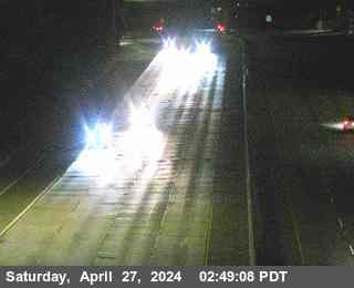 Live nowLive videoI-580 at Grand Lakeshore, Oakland
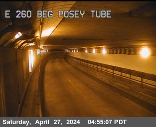 Live nowLive videoSR-260 at Posey Tube Tunnel Entrance, Alameda
 Live nowLive videoSR-24 at W24 JEO JCT 980, Oakland
 Live nowLive videoSR-123 at 40th Street, looking West, Emeryville
 Live nowLive videoSR-123 at 40th Street, looking East, Emeryville
 Live nowLive videoI-80 at SFOBB at Incline, Oakland
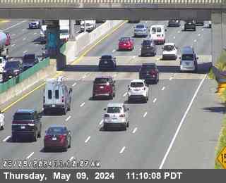 Live nowLive videoI-80 at West of Ashby Avenue, Emeryville
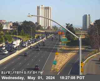 Live nowLive videoI-80 at Ashby, Berkeley
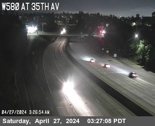 Live nowLive videoI-580 at 35th Avenue, Oakland
 Live nowLive videoI-580 at High Street, Oakland
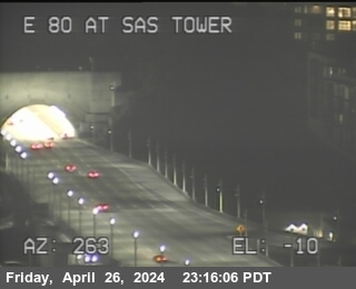 Live nowLive videoI-80 at Bay Bridge SAS Tower West, San Francisco
 Live nowLive videoI-80 at Gilman Street, Berkeley
 Live nowLive videoI-280 at Indiana St, San Francisco
 Live nowLive videoI-80 at 6th Street, San Francisco
 Live nowLive videoI-280 at Just south of Cesar Chavez, San Francisco
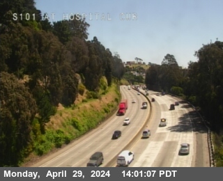 Live nowLive videoUS-101 at Hospital Curve, San Francisco
 Live nowLive videoUS-101 at Cesar Chavez Bl, San Francisco
 Live nowLive videoUS-101 at FAITH ST POC, San Francisco
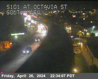 Live nowLive videoUS-101 at Octavia St, San Francisco
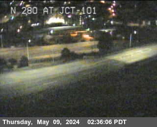 Live nowLive videoI-280 at US-101, San Francisco
 WorkingStill imageI-880 at Just North Of 7th Street, Oakland
 WorkingStill imageI-80 at Ashby Avenue Onramp, Berkeley
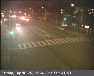 WorkingStill imageSR-123 at Buchanan Street, looking South, Albany
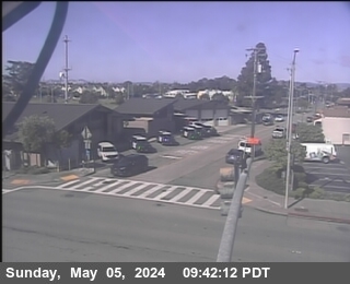 WorkingStill imageSR-123 at Buchanan Street, looking West, Albany
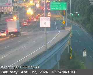 WorkingStill imageI-80 at Buchanan Street, Albany
 WorkingStill imageI-80 at WOF Albany OR, Berkeley
 WorkingStill imageSR-123 at Central Avenue, looking North, El Cerrito
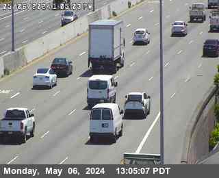 WorkingStill imageI-880 at DAVIS ST E112 DIAGONAL OR, San Leandro
 WorkingStill imageSR-123 at Cutting Blvd, looking South, El Cerrito
 WorkingStill imageI-880 at JSO MARINA BL, San Leandro
 WorkingStill imageI-980 at 14TH ST, Oakland
 WorkingStill imageI-880 at Broadway, Oakland
 WorkingStill imageI-980 at JCT 880, Oakland
 WorkingStill imageI-880 at Castro Street, Oakland
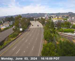 WorkingStill imageI-980 at JEO SAN PABLO AVE, Oakland
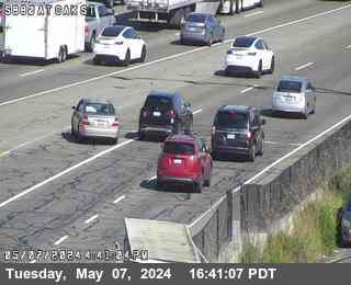 WorkingStill imageI-880 at Oak Street, Oakland
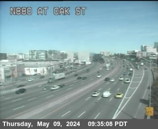 WorkingStill imageI-880 at Oak Street, Oakland
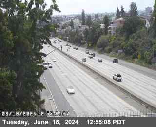 WorkingStill imageI-580 at CHETWOOD ST, Oakland
 WorkingStill imageI-580 at WEBSTER ST, Oakland
 WorkingStill imageI-880 at BROADWAY OFR, Oakland
 WorkingStill imageI-880 at N880 at Grand Av, Oakland
 WorkingStill imageI-580 at PERALTA ST, Emeryville
 WorkingStill imageI-880 at JCT 80, Oakland
 WorkingStill imageI-880 at 7TH ST, Oakland
 WorkingStill imageI-580 at HANNA ST OC, Emeryville
 WorkingStill imageI-880 at 16th Avenue Overcross, Oakland
 WorkingStill imageI-580 at JEO 80 JCT, Oakland
 WorkingStill imageI-80 at EBMUD, Oakland
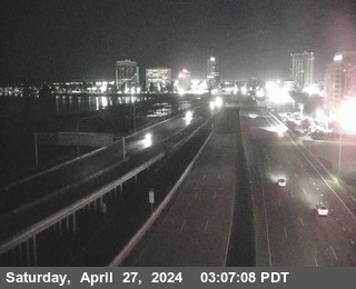 WorkingStill imageI-880 I-80 at CR WOF POWELL ST, Emeryville
 WorkingStill imageI-880 at 23RD AV, Oakland
 WorkingStill imageI-80 at Just East Of Toll Plaza Horseshoe, Oakland
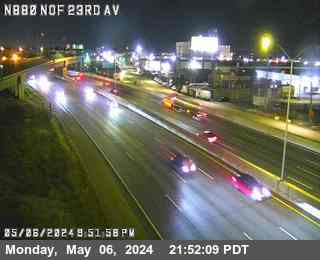 WorkingStill imageI-880 at NORTH OF 23RD AV, Oakland
 WorkingStill imageSR-123 at STANFORD AV Looking East, Emeryville
 WorkingStill imageSR-123 at STANFORD AV Looking North, Emeryville
 WorkingStill imageSR-123 at STANFORD AV Looking South, Emeryville
 WorkingStill imageSR-123 at STANFORD AV Looking West, Emeryville
 WorkingStill imageI-80 at Toll Plaza, Oakland
 WorkingStill imageI-880 at 23RD AV/KENNEDY ST OR, Oakland
 WorkingStill imageI-80 at Powell Street Offramp, Emeryville
 WorkingStill imageI-80 at Dispatch Blvd, Oakland
 WorkingStill imageI-80 at Sfobb Tow Building, Oakland
 WorkingStill imageI-80 at SFOBB METERING DOWNSTREAM, Oakland
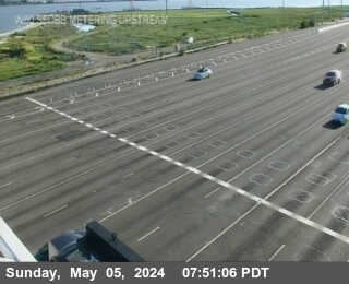 WorkingStill imageI-80 at SFOBB METERING UPSTREAM, Oakland
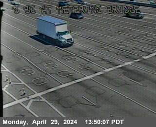 WorkingStill imageI-80 at Metering Bridge, Oakland
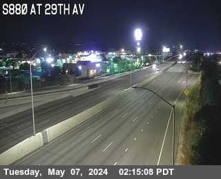 WorkingStill imageI-880 at 29TH AV, Oakland
 WorkingStill imageI-580 at FRUITVALE AV, Oakland
 WorkingStill imageI-80 at Before Toll Plaza, Oakland
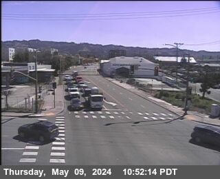 WorkingStill imageSR-13 at E13 AT 7TH ST, looking East, Berkeley
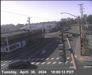 WorkingStill imageSR-13 at E13 AT 7TH ST, looking North, Berkeley
 WorkingStill imageSR-123 at Ashby Avenue, looking West, Berkeley
 WorkingStill imageSR-123 at Ashby Avenue, looking North, Berkeley
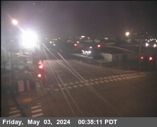 WorkingStill imageSR-13 at E13 AT 7TH ST, looking South, Berkeley
 WorkingStill imageSR-123 at Ashby Avenue, looking East, Berkeley
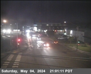 WorkingStill imageSR-13 at E13 AT 7TH ST, looking West, Berkeley
 WorkingStill imageSR-123 at Ashby Avenue, looking South, Berkeley
 WorkingStill imageI-80 at Leaving Bridge, Oakland
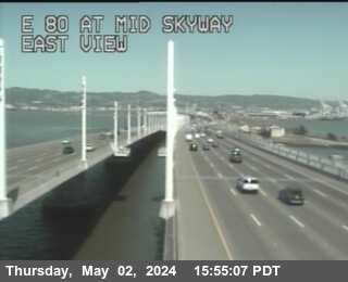 WorkingStill imageI-80 at Mid Skyway, San Francisco
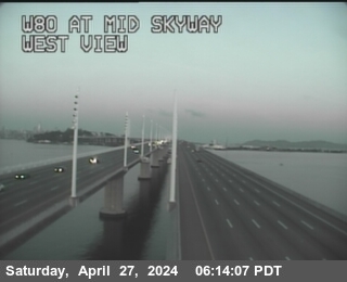 WorkingStill imageI-80 at Mid Skyway, San Francisco
 WorkingStill imageI-880 at JSO HIGH ST, Oakland
 WorkingStill imageSR-24 at SR-13, Oakland
 WorkingStill imageI-80 at After Skyway Curve, San Francisco
 WorkingStill imageI-80 at Skyway Curve, San Francisco
 WorkingStill imageI-80 at University Avenue, Berkeley
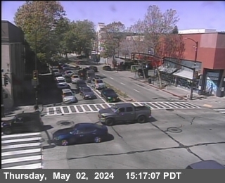 WorkingStill imageSR-123 at University Avenue, looking North, Berkeley
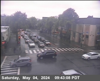 WorkingStill imageSR-123 at University Avenue, looking West, Berkeley
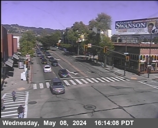 WorkingStill imageSR-123 at University Avenue, looking East, Berkeley
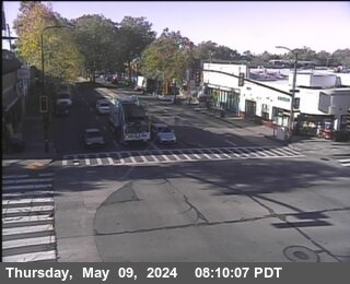 WorkingStill imageSR-123 at University Avenue, looking South, Berkeley
 WorkingStill imageI-80 at University Avenue Onramp, Berkeley
 WorkingStill imageI-80 at Before YBI Tunnel, San Francisco
 WorkingStill imageI-580 at JCT 13, Oakland
 WorkingStill imageSR-123 at Gilman Street, looking North, Berkeley
 WorkingStill imageSR-123 at Gilman Street, looking West, Albany
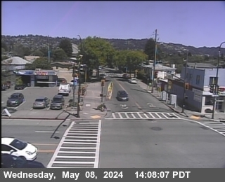 WorkingStill imageSR-123 at Gilman Street, looking East, Albany
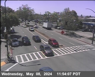 WorkingStill imageSR-123 at Gilman Street, looking South, Albany
 WorkingStill imageI-80 at Gilman Street Offramp, Berkeley
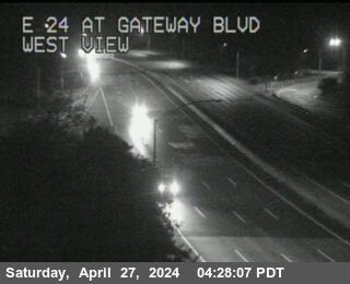 WorkingStill imageSR-24 at Gateway Blvd, Orinda
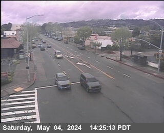 WorkingStill imageSR-123 at Buchanan Street, looking North, Albany
 WorkingStill imageI-880 at HEGENBERGER RD, Oakland
 WorkingStill imageI-880 at EDES AV WB OR, Oakland
 WorkingStill imageI-880 at EDES AV EB OR, Oakland
 WorkingStill imageI-80 at Buchanan Street West View, Berkeley
 WorkingStill imageI-80 at Buchanan Street East View, Berkeley
 WorkingStill imageI-80 at Buchanan Street Offramp South View, Berkeley
 WorkingStill imageI-880 at 98TH AV, Oakland
 WorkingStill imageI-880 at 98TH AV EB OR, Oakland
 WorkingStill imageI-880 at 98TH AV OFR, Oakland
 WorkingStill imageI-880 at 98TH AV WB OR, Oakland
 WorkingStill imageI-880 at 98TH AV EB OR, Oakland
 WorkingStill imageI-880 at 98TH AV OFR, Oakland
 WorkingStill imageI-880 at 98TH AV WB OR, Oakland
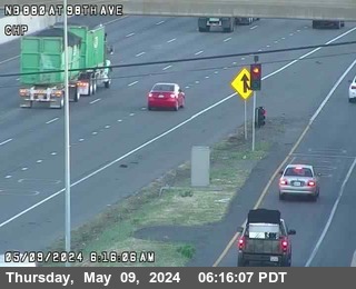 WorkingStill imageI-880 at 98TH AV LOOP OR, Oakland
 WorkingStill imageSR-24 at CAMINO PABLO, Orinda
 WorkingStill imageSR-123 at Central Avenue, looking East, El Cerrito
 WorkingStill imageSR-123 at Central Avenue, looking South, El Cerrito
 WorkingStill imageSR-123 at Central Avenue, looking West, El Cerrito
 WorkingStill imageI-80 at Central Avenue Onramp, looking East, Richmond
 WorkingStill imageI-80 at Central Avenue Onramp, looking South, Richmond
 WorkingStill imageI-80 at Central Avenue Onramp, looking West, Richmond
 WorkingStill imageI-80 at Central Avenue Onramp, Richmond
 WorkingStill imageI-580 at JEO FONTAINE ST, Oakland
 WorkingStill imageSR-24 at JWO ST STEPHENS DR, Orinda
 WorkingStill imageI-80 at Before Central Avenue, Richmond
 WorkingStill imageSR-24 at MORAGA WAY OR, Orinda
 WorkingStill imageSR-24 at W24 JEO Camino Pablo, Orinda
 WorkingStill imageI-580 at GOLF LINKS RD, Oakland
 WorkingStill imageI-580 at JWO 106th Ave OC, Oakland
 WorkingStill imageI-280 at CESAR CHAVEZ, San Francisco
 WorkingStill imageI-80 at Carlson Blvd, Richmond
 WorkingStill imageI-880 at JCT-112 DAVIS ST, San Leandro
 WorkingStill imageI-580 at BAYVIEW AV, Richmond
 WorkingStill imageI-80 at Carlson Blvd, Richmond
 WorkingStill imageI-580 at JWO FOOTHILL BLVD, Oakland
 WorkingStill imageSR-123 at Potrero Avenue, looking East, El Cerrito
 WorkingStill imageSR-123 at Potrero Avenue, looking North, El Cerrito
 WorkingStill imageSR-24 at W24 JEO St Stephens Drive OC, Orinda
 WorkingStill imageSR-123 at Potrero Avenue, looking South, El Cerrito
 WorkingStill imageSR-123 at Potrero Avenue, looking West, El Cerrito
 WorkingStill imageI-80 at W80 at Potrero Av OR, El Cerrito
 WorkingStill imageI-80 at E80 at Potrero Av, El Cerrito
 WorkingStill imageI-880 at MARINA BL, San Leandro
 WorkingStill imageI-880 at MARINA BL LOOP OR, San Leandro
 WorkingStill imageI-80 at JWO CUTTING BL, El Cerrito
 WorkingStill imageSR-123 at Cutting Blvd, looking East, El Cerrito
 WorkingStill imageSR-123 at Cutting Blvd, looking North, El Cerrito
 WorkingStill imageSR-123 at Cutting Blvd, looking West, El Cerrito
 WorkingStill imageI-80 at CUTTING BL OR, El Cerrito
 WorkingStill imageUS-101 at 3RD BAYSHORE, San Francisco
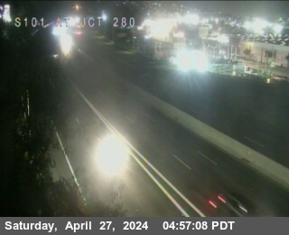 IntermittentLive videoUS-101 at Alemany Bl, San Francisco
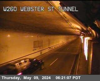 IntermittentLive videoSR-260 at Webster St Tunnel Entrance, Oakland
 IntermittentLive videoI-580 at West of SR-24, Oakland
 IntermittentLive videoSR-123 at 40th Street, looking North, Emeryville
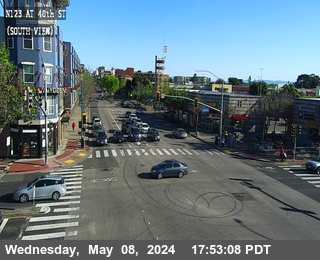 IntermittentLive videoSR-123 at 40th Street, looking South, Emeryville
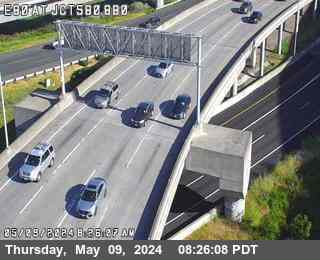 IntermittentLive videoI-880 at I-580 / I-80, Emeryville
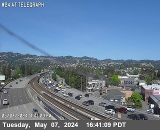 IntermittentLive videoSR-24 at TELEGRAPH, Oakland
 IntermittentLive videoI-80 at Powell Street, Emeryville
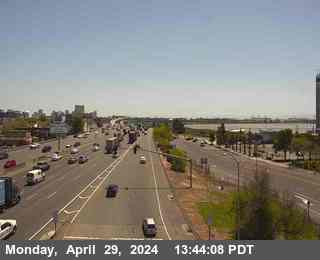 IntermittentLive videoI-80 at Powell Street Onramp, Emeryville
 IntermittentLive videoI-880 at High Street, Oakland
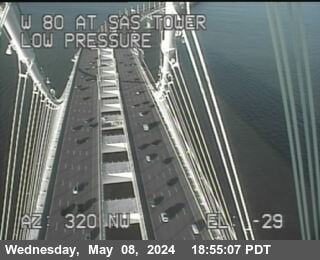 IntermittentLive videoI-80 at Bay Bridge SAS Tower East, San Francisco
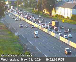 IntermittentLive videoI-880 at 66th Avenue, Oakland
 IntermittentLive videoI-80 at Fremont, San Francisco
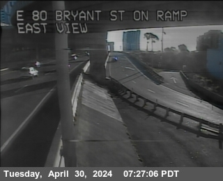 IntermittentLive videoI-80 at SFOBB Lower Deck Sterling Onramp, San Francisco
 IntermittentLive videoI-280 at 6th Street Offramp, San Francisco
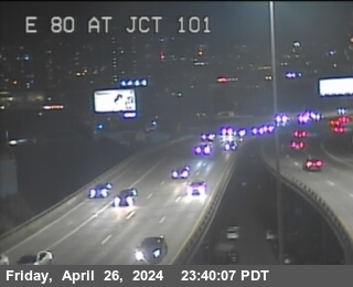 IntermittentLive videoI-80 at US-101, San Francisco
 IntermittentLive videoUS-101 at 17th Street, San Francisco
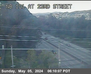 IntermittentLive videoUS-101 at 23rd St, San Francisco
 IntermittentLive videoI-80 at Carlson Blvd Offramp, Richmond
 IntermittentLive videoI-280 at Just South Of Cesar Chavez, San Francisco
 IntermittentLive videoUS-101 at S101 at S Van Ness Av, San Francisco
 IntermittentLive videoI-580 at Regatta Blvd, Richmond
 IntermittentLive videoUS-101 at 280 Split, San Francisco
 IntermittentLive videoI-280 at Alemany Bl, San Francisco
No live video among these cameras. Turn off "Live video only" to see them all.
Best cams to watch
- I-580 at Just East Of Beaumont Avenue, Oakland — Live video, working 100 % of the time in the last 30 days.
- I-580 at Grand Lakeshore, Oakland — Live video.
- SR-260 at Posey Tube Tunnel Entrance, Alameda — Live video.
Oakland is the county seat of Alameda County and the largest city on the east side of San Francisco Bay, with about 440,000 residents at the 2020 census. It was incorporated in 1852 in the wake of the gold rush and grew quickly after the 1906 San Francisco earthquake, when many people moved across the bay. At its center lies Lake Merritt, a tidal lagoon ringed by a walking path, which in 1870 became the first official wildlife refuge in the United States. The Port of Oakland is the busiest in Northern California, its giant container cranes visible from the freeways, and the city's neighborhoods climb from the flat waterfront into the wooded Oakland Hills.
East Bay freeways
Oakland's views are posted by the state highway agency, Caltrans. Oakland is laced with freeways: Interstate 80 leads onto the Bay Bridge toward San Francisco, Interstate 580 runs along the foot of the hills, Interstate 880 follows the industrial shoreline past the port and the airport, and State Routes 13 and 24 head into the hills, with Route 24 passing through the Caldecott Tunnel to Contra Costa County. These roads meet at the MacArthur Maze near the eastern end of the Bay Bridge, one of the busiest junctions in the region. On our map each camera joins its nearest place, so this page shows many of these approaches. Each one is a photo that the state renews at intervals.
The East Bay sits on Pacific Time, an hour later in summer from the second Sunday of March. Its Mediterranean climate brings dry, sunny summers and a rainy season from about November to March, while summer fog often pushes through the Golden Gate in the evening and spills over the hills. The June sun sets close to half past eight; in December it is down before five. The bridge approaches back up most on weekday mornings heading west and in the late afternoon heading east.
Berkeley and the University of California campus lie just to the north, and Jack London Square on the estuary is the place to watch ferries and port traffic.
Sources: Oakland, California - Wikipedia · Caltrans Quickmap.
Nearby places
- San Francisco (276)
- Richmond (175)
- Berkeley (171)
- Sacramento (157)
- Alameda (155)
- San Jose (145)
- Arden-Arcade (110)
- Santa Clara (102)
Questions about Oakland
How many webcams can I watch in Oakland?
LiveLocation lists 172 cameras in and around Oakland, United States: 45 live video, 127 still images. 148 of them were live or showing a fresh image at the last check.
Who runs the cameras in Oakland?
All of them come from Caltrans (172). Each camera plays straight from the agency or owner that runs it, with credit. Caltrans
What can I see on the Oakland cameras?
All of them show traffic and highway (172). Good ones to start with: I-580 at Just East Of Beaumont Avenue, Oakland and I-580 at Grand Lakeshore, Oakland. I-580 at Just East Of Beaumont Avenue, Oakland I-580 at Grand Lakeshore, Oakland
Can I watch live video from Oakland?
Yes: 45 of the 172 cameras send live video. Turn on "Live video only" above the grid to see just those. The other 127 are still images that refresh every few minutes.
What time is it in Oakland, and when is it light?
Oakland is on America/Los Angeles time. On October 7 the sun rises at 7:10 AM and sets at 6:43 PM, so still images are clearest between those times. Road cameras show the most traffic in the weekday morning and evening rush hours.
Which places near Oakland also have cameras?
The nearest are Alameda (2.4 mi away, 155 cameras), Berkeley (4.6 mi away, 171 cameras) and Albany (5.9 mi away, 97 cameras). Alameda Berkeley Albany
How can I see the Oakland cameras on a map?
The map at the top of this page shows all 172 of them. The live camera radar centers on Oakland and lists every camera within 5 to 250 miles, nearest first, with filters for live video, traffic, nature and more. Open the radar on Oakland
Place names and locations: GeoNames, licensed under CC BY 4.0.