Live cameras in San Francisco, United States
200 cameras: 34 live video, 166 still images · 200 working now · updated Oct 8, 02:54 UTC
San Francisco has 200 live cameras on LiveLocation right now: 34 live video, 166 still images. Good places to start: African penguin colony, California Academy of Sciences, San Francisco, Philippine coral reef, California Academy of Sciences, San Francisco, San Francisco Airport (SFO) — aircraft tracking camera with ATC. Local time is 7:54 PM (America/Los Angeles). Today the sun rises at 7:10 AM and sets at 6:43 PM.
San Francisco live cameras
Every San Francisco live camera we know of: 34 live video, 166 still images. 200 of them were live or fresh at the last check. San Francisco is home to about 828,000 people.
Weather now in San Francisco: 62 °F (17 °C), clear sky, wind 9 mph (14 km/h) from the south. Forecast for 8 PM local time. Weather: MET Norway (CC BY 4.0)
 Live nowYouTube liveAfrican penguin colony, California Academy of Sciences, San Francisco
 Live nowYouTube livePhilippine coral reef, California Academy of Sciences, San Francisco
 Live nowYouTube liveSan Francisco Airport (SFO) — aircraft tracking camera with ATC
 Live nowLive videoUS-101 at San Bruno Avenue, San Francisco
 Live nowLive videoI-580 at Just East Of Beaumont Avenue, Oakland
 Live nowLive videoI-580 at Upper Deck Pier 59, Richmond
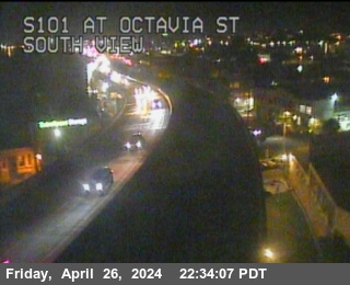 Live nowLive videoUS-101 at Octavia St, San Francisco
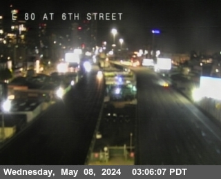 Live nowLive videoI-80 at 6th Street, San Francisco
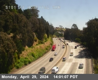 Live nowLive videoUS-101 at Hospital Curve, San Francisco
 Live nowLive videoI-280 at Indiana St, San Francisco
 Live nowLive videoUS-101 at Cesar Chavez Bl, San Francisco
 Live nowLive videoUS-101 at FAITH ST POC, San Francisco
 Live nowLive videoI-280 at Just south of Cesar Chavez, San Francisco
 Live nowLive videoI-280 at US-101, San Francisco
 Live nowLive videoI-280 at On Monterey Bl, San Francisco
 Live nowLive videoI-80 at Bay Bridge SAS Tower West, San Francisco
 Live nowLive videoUS-101 at Just North of Candlestick Park, San Francisco
 Live nowLive videoI-280 at John Daly Blvd, San Francisco
 Live nowLive videoI-80 at SFOBB at Incline, Oakland
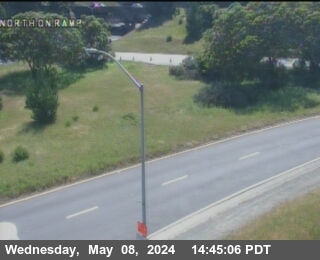 Live nowLive videoI-280 at Serramonte Blvd Northbound Onramp, Daly City
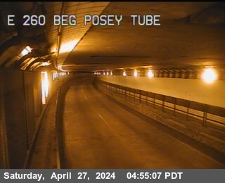 Live nowLive videoSR-260 at Posey Tube Tunnel Entrance, Alameda
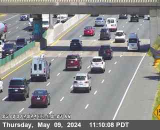 Live nowLive videoI-80 at West of Ashby Avenue, Emeryville
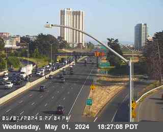 Live nowLive videoI-80 at Ashby, Berkeley
 Live nowLive videoSR-123 at 40th Street, looking East, Emeryville
 Live nowLive videoSR-123 at 40th Street, looking West, Emeryville
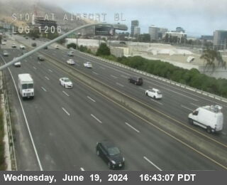 Live nowLive videoUS-101 at AIRPORT BL, South San Francisco
 Live nowLive videoSR-24 at W24 JEO JCT 980, Oakland
 Live nowLive videoI-80 at Gilman Street, Berkeley
 Live nowLive videoI-580 at Grand Lakeshore, Oakland
 Live nowLive videoI-580 at Cutting Blvd, Richmond
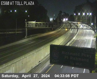 Live nowLive videoI-580 at Toll Plaza, Richmond
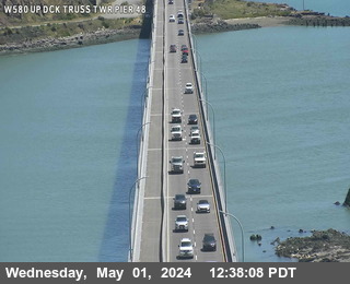 Live nowLive videoI-580 at Upper Deck Truss Tower Pier 48, San Quentin
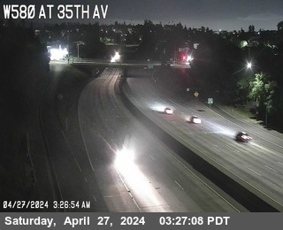 Live nowLive videoI-580 at 35th Avenue, Oakland
 Live nowLive videoI-580 at High Street, Oakland
 WorkingStill imageI-880 at Just North Of 7th Street, Oakland
 WorkingStill imageI-80 at Ashby Avenue Onramp, Berkeley
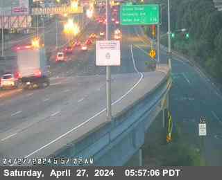 WorkingStill imageI-80 at Buchanan Street, Albany
 WorkingStill imageI-80 at WOF Albany OR, Berkeley
 WorkingStill imageSR-123 at Buchanan Street, looking South, Albany
 WorkingStill imageSR-123 at Buchanan Street, looking West, Albany
 WorkingStill imageSR-123 at Central Avenue, looking North, El Cerrito
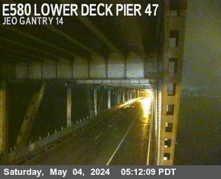 WorkingStill imageI-580 at Lower Deck Pier 47, San Quentin
 WorkingStill imageI-580 at Lower Deck Pier 8, San Quentin
 WorkingStill imageSR-123 at Cutting Blvd, looking South, El Cerrito
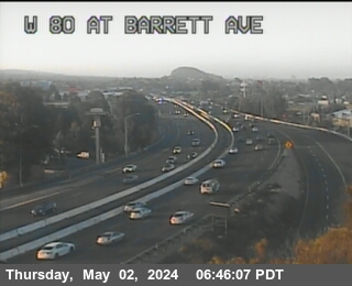 WorkingStill imageI-80 at WOF BARRETT AV, Richmond
 WorkingStill imageI-80 at San Pablo Dam Road, San Pablo
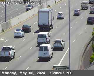 WorkingStill imageI-880 at DAVIS ST E112 DIAGONAL OR, San Leandro
 WorkingStill imageI-80 at El Portal Drive, El Sobrante
 WorkingStill imageI-880 at JSO MARINA BL, San Leandro
 WorkingStill imageI-280 at CESAR CHAVEZ, San Francisco
 WorkingStill imageI-280 at MISSION ST, San Francisco
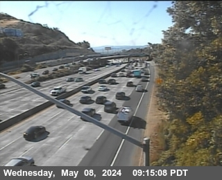 WorkingStill imageUS-101 at 3RD BAYSHORE, San Francisco
 WorkingStill imageI-80 at Before YBI Tunnel, San Francisco
 WorkingStill imageI-80 at Skyway Curve, San Francisco
 WorkingStill imageI-80 at After Skyway Curve, San Francisco
 WorkingStill imageUS-101 at CANDLESTICK OFR, Brisbane
 WorkingStill imageUS-101 at BOWERS VISTA POINT PARKING, Sausalito
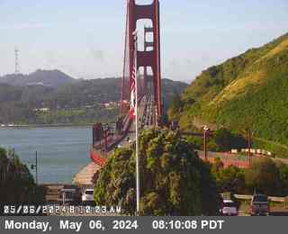 WorkingStill imageUS-101 at BOWERS VISTA POINT EXIT, Sausalito
 WorkingStill imageUS-101 at BOWERS VISTA POINT, Sausalito
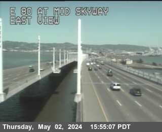 WorkingStill imageI-80 at Mid Skyway, San Francisco
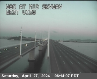 WorkingStill imageI-80 at Mid Skyway, San Francisco
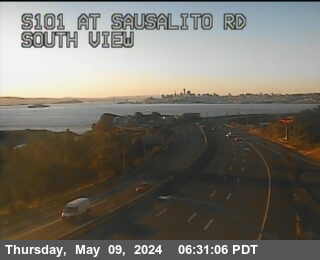 WorkingStill imageUS-101 at Sausalito Road Undercross, Sausalito
 WorkingStill imageI-80 at Leaving Bridge, Oakland
 WorkingStill imageI-80 at Before Toll Plaza, Oakland
 WorkingStill imageI-80 at Sfobb Tow Building, Oakland
 WorkingStill imageI-80 at SFOBB METERING DOWNSTREAM, Oakland
 WorkingStill imageI-80 at SFOBB METERING UPSTREAM, Oakland
 WorkingStill imageI-80 at Metering Bridge, Oakland
 WorkingStill imageI-80 at Dispatch Blvd, Oakland
 WorkingStill imageUS-101 at JNO SIERRA PT PKWY, Brisbane
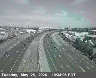 WorkingStill imageI-880 at 7TH ST, Oakland
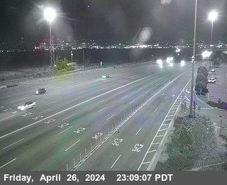 WorkingStill imageI-80 at Toll Plaza, Oakland
 WorkingStill imageI-80 at Just East Of Toll Plaza Horseshoe, Oakland
 WorkingStill imageI-880 at BROADWAY OFR, Oakland
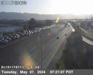 WorkingStill imageI-80 at EBMUD, Oakland
 WorkingStill imageI-880 at JCT 80, Oakland
 WorkingStill imageUS-101 at South of Bayshore Boulevard, Brisbane
 WorkingStill imageI-580 at JEO 80 JCT, Oakland
 WorkingStill imageI-880 at N880 at Grand Av, Oakland
 WorkingStill imageI-880 at Castro Street, Oakland
 WorkingStill imageUS-101 at On Airport Flyover Structure, South San Francisco
 WorkingStill imageI-980 at JCT 880, Oakland
 WorkingStill imageI-880 I-80 at CR WOF POWELL ST, Emeryville
 WorkingStill imageI-580 at HANNA ST OC, Emeryville
 WorkingStill imageI-80 at Powell Street Offramp, Emeryville
 WorkingStill imageI-880 at Broadway, Oakland
 WorkingStill imageI-980 at 14TH ST, Oakland
 WorkingStill imageI-280 at N280 Hickey BD NB Loop OnRamp, Daly City
 WorkingStill imageUS-101 at MARIN CITY OFR, Sausalito
 WorkingStill imageI-580 at PERALTA ST, Emeryville
 WorkingStill imageI-880 at Oak Street, Oakland
 WorkingStill imageI-980 at JEO SAN PABLO AVE, Oakland
 WorkingStill imageI-880 at Oak Street, Oakland
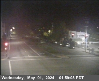 WorkingStill imageSR-123 at STANFORD AV Looking East, Emeryville
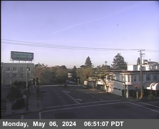 WorkingStill imageSR-123 at STANFORD AV Looking South, Emeryville
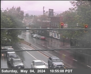 WorkingStill imageSR-123 at STANFORD AV Looking North, Emeryville
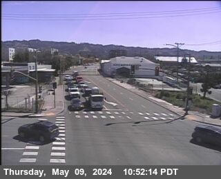 WorkingStill imageSR-13 at E13 AT 7TH ST, looking East, Berkeley
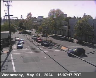 WorkingStill imageSR-123 at STANFORD AV Looking West, Emeryville
 WorkingStill imageSR-13 at E13 AT 7TH ST, looking South, Berkeley
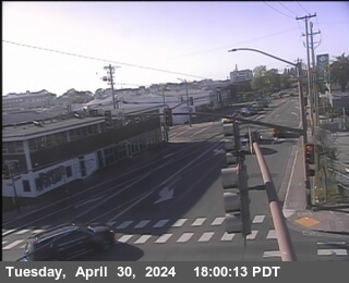 WorkingStill imageSR-13 at E13 AT 7TH ST, looking North, Berkeley
 WorkingStill imageSR-13 at E13 AT 7TH ST, looking West, Berkeley
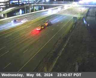 WorkingStill imageI-80 at University Avenue, Berkeley
 WorkingStill imageI-80 at University Avenue Onramp, Berkeley
 WorkingStill imageSR-123 at Ashby Avenue, looking East, Berkeley
 WorkingStill imageSR-123 at Ashby Avenue, looking North, Berkeley
 WorkingStill imageSR-123 at Ashby Avenue, looking West, Berkeley
 WorkingStill imageSR-123 at Ashby Avenue, looking South, Berkeley
 WorkingStill imageI-580 at WEBSTER ST, Oakland
 WorkingStill imageI-80 at Gilman Street Offramp, Berkeley
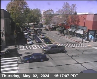 WorkingStill imageSR-123 at University Avenue, looking North, Berkeley
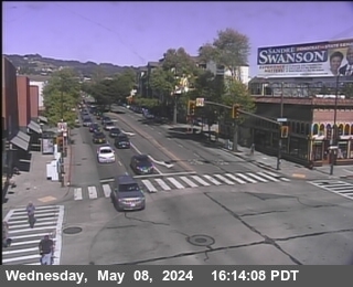 WorkingStill imageSR-123 at University Avenue, looking East, Berkeley
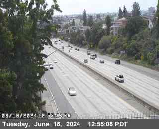 WorkingStill imageI-580 at CHETWOOD ST, Oakland
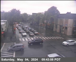 WorkingStill imageSR-123 at University Avenue, looking West, Berkeley
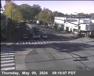 WorkingStill imageSR-123 at University Avenue, looking South, Berkeley
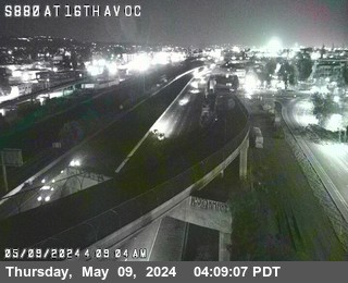 WorkingStill imageI-880 at 16th Avenue Overcross, Oakland
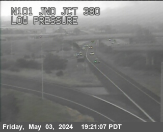 WorkingStill imageUS-101 at JNO JCT 380, San Francisco
 WorkingStill imageI-380 at JEO EL CAMINO REAL, San Bruno
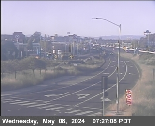 WorkingStill imageI-80 at Buchanan Street East View, Berkeley
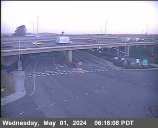 WorkingStill imageI-80 at Buchanan Street West View, Berkeley
 WorkingStill imageI-80 at Buchanan Street Offramp South View, Berkeley
 WorkingStill imageSR-123 at Gilman Street, looking North, Berkeley
 WorkingStill imageI-880 at 23RD AV, Oakland
 WorkingStill imageSR-123 at Gilman Street, looking East, Albany
 WorkingStill imageSR-123 at Gilman Street, looking West, Albany
 WorkingStill imageSR-123 at Gilman Street, looking South, Albany
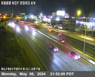 WorkingStill imageI-880 at NORTH OF 23RD AV, Oakland
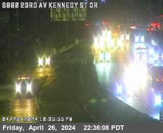 WorkingStill imageI-880 at 23RD AV/KENNEDY ST OR, Oakland
 WorkingStill imageI-280 at SNEATH LN NB LOOP ONRAMP, San Bruno
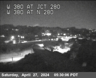 WorkingStill imageI-380 at Jct 280, San Bruno
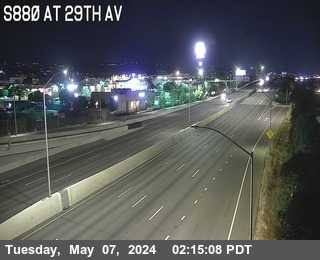 WorkingStill imageI-880 at 29TH AV, Oakland
 WorkingStill imageSR-123 at Buchanan Street, looking North, Albany
 WorkingStill imageI-80 at Central Avenue Onramp, Richmond
 WorkingStill imageI-80 at Central Avenue Onramp, looking East, Richmond
 WorkingStill imageI-80 at Central Avenue Onramp, looking South, Richmond
 WorkingStill imageI-80 at Central Avenue Onramp, looking West, Richmond
 WorkingStill imageI-80 at Before Central Avenue, Richmond
 WorkingStill imageI-580 at JEO CANAL BL, Richmond
 WorkingStill imageI-580 at BAYVIEW AV, Richmond
 WorkingStill imageSR-123 at Central Avenue, looking East, El Cerrito
 WorkingStill imageSR-123 at Central Avenue, looking South, El Cerrito
 WorkingStill imageSR-123 at Central Avenue, looking West, El Cerrito
 WorkingStill imageI-580 at CUTTING BL, Richmond
 WorkingStill imageI-580 at Marine St, Richmond
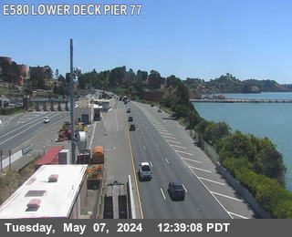 WorkingStill imageI-580 at Lower Deck Pier 77, Richmond
 WorkingStill imageI-80 at Carlson Blvd, Richmond
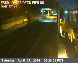 WorkingStill imageI-580 at Lower Deck Pier 66, Richmond
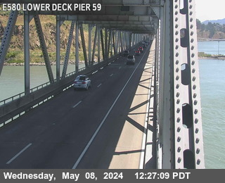 WorkingStill imageI-580 at Lower Deck Pier 59, Richmond
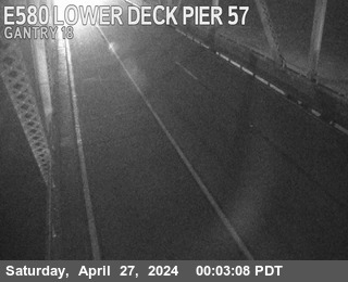 WorkingStill imageI-580 at Lower Deck Pier 57, Richmond
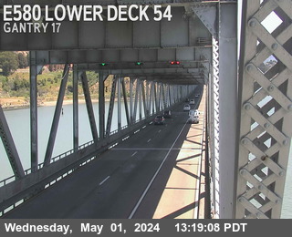 WorkingStill imageI-580 at Lower Deck Pier 54, Richmond
 WorkingStill imageI-580 at Lower Deck Pier 52, Richmond
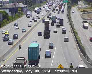 WorkingStill imageI-880 at JSO HIGH ST, Oakland
 WorkingStill imageI-580 at Lower Deck Pier 49, San Quentin
 WorkingStill imageI-580 at Lower Deck Pier 48, San Quentin
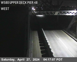 WorkingStill imageI-580 at Upper Deck Pier 48, San Quentin
 WorkingStill imageI-580 at Upper Deck Truss Tower Pier 47, San Quentin
 WorkingStill imageUS-101 at JNO SFO IC, San Francisco
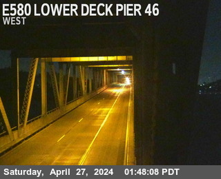 WorkingStill imageI-580 at Lower Deck Pier 46, San Quentin
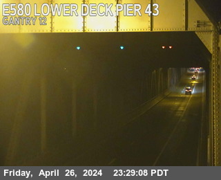 WorkingStill imageI-580 at Lower Deck Pier 43, San Quentin
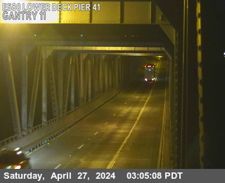 WorkingStill imageI-580 at Lower Deck Pier 41, San Quentin
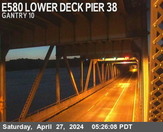 WorkingStill imageI-580 at Lower Deck Pier 38, San Quentin
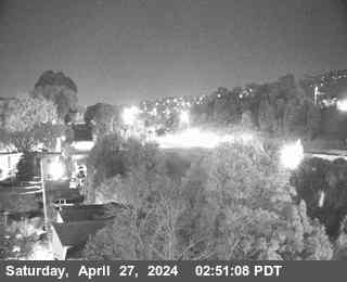 WorkingStill imageI-80 at Carlson Blvd, Richmond
 WorkingStill imageI-580 at Lower Deck Pier 35, San Quentin
 WorkingStill imageI-580 at Upper Deck Truss Tower Pier 35, San Quentin
 WorkingStill imageI-580 at Upper Deck Pier 35, San Quentin
 WorkingStill imageI-580 at FRUITVALE AV, Oakland
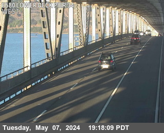 WorkingStill imageI-580 at Lower Deck Pier 34, San Quentin
 WorkingStill imageI-580 at Upper Deck Truss Tower Pier 34, San Quentin
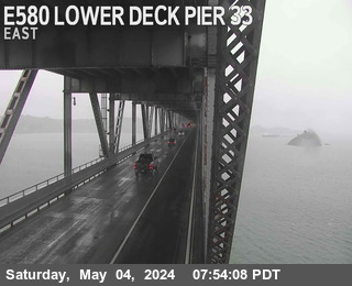 WorkingStill imageI-580 at Lower Deck Pier 33, San Quentin
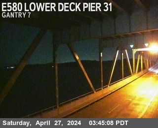 WorkingStill imageI-580 at Lower Deck Pier 31, San Quentin
 WorkingStill imageI-580 at Lower Deck Pier 29, San Quentin
 WorkingStill imageI-580 at Lower Deck Pier 26, San Quentin
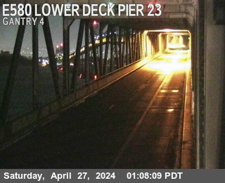 WorkingStill imageI-580 at Lower Deck Pier 23, San Quentin
 WorkingStill imageI-80 at W80 at Potrero Av OR, El Cerrito
 WorkingStill imageI-80 at E80 at Potrero Av, El Cerrito
 WorkingStill imageSR-123 at Potrero Avenue, looking East, El Cerrito
 WorkingStill imageSR-123 at Potrero Avenue, looking North, El Cerrito
 WorkingStill imageSR-1 at NOF REINA DEL MAR AV, Pacifica
 WorkingStill imageSR-123 at Potrero Avenue, looking South, El Cerrito
 WorkingStill imageSR-123 at Potrero Avenue, looking West, El Cerrito
 WorkingStill imageUS-101 at JNO MILLBRAE AVE OC, Millbrae
 WorkingStill imageI-80 at JWO CUTTING BL, El Cerrito
 WorkingStill imageSR-24 at SR-13, Oakland
 WorkingStill imageI-80 at CUTTING BL OR, El Cerrito
 WorkingStill imageSR-123 at Cutting Blvd, looking East, El Cerrito
 WorkingStill imageSR-123 at Cutting Blvd, looking North, El Cerrito
 WorkingStill imageSR-123 at Cutting Blvd, looking West, El Cerrito
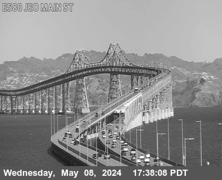 WorkingStill imageI-580 at Eof Main St, San Rafael
 WorkingStill imageUS-101 at JSO MILBRAE AV OC, Burlingame
 WorkingStill imageI-80 at San Pablo Avenue, Richmond
 WorkingStill imageI-580 at Wof Main St, San Quentin
 WorkingStill imageI-880 at HEGENBERGER RD, Oakland
 WorkingStill imageI-880 at EDES AV WB OR, Oakland
 WorkingStill imageI-880 at EDES AV EB OR, Oakland
 WorkingStill imageUS-101 at JNO GREENBRAE PED OC, Greenbrae
 WorkingStill imageUS-101 at JNO BROADWAY, Burlingame
 WorkingStill imageI-80 at E80 at Solano Av, Richmond
 WorkingStill imageI-880 at 98TH AV, Oakland
 WorkingStill imageI-880 at 98TH AV EB OR, Oakland
 WorkingStill imageI-880 at 98TH AV OFR, Oakland
 WorkingStill imageI-880 at 98TH AV WB OR, Oakland
No live video among these cameras. Turn off "Live video only" to see them all.
Best cams to watch
- African penguin colony, California Academy of Sciences, San Francisco — YouTube live, working 100 % of the time in the last 30 days.
- Philippine coral reef, California Academy of Sciences, San Francisco — YouTube live, working 100 % of the time in the last 30 days.
- San Francisco Airport (SFO) — aircraft tracking camera with ATC — YouTube live, working 100 % of the time in the last 30 days.
San Francisco sits at the tip of a peninsula between the Pacific Ocean and San Francisco Bay, a compact city and county of about 874,000 people at the 2020 census. Its land area is only about 47 square miles, packed with steep hills, Victorian rows, cable cars and neighborhoods that each feel like a small town. Golden Gate Park runs for miles from the Haight to Ocean Beach, and the bridges that give the city its skyline tie it to Marin and the East Bay.
The cameras on this page come from two very different worlds. Most are Caltrans highway cameras, official and public domain, showing still snapshots that refresh every few minutes. Views here include US 101 as it crosses the city, I-80 on the approach to the Bay Bridge and I-280 on the south side. The others are live streams from the California Academy of Sciences in Golden Gate Park, which we embed from its official YouTube channel. One watches the colony of African penguins, the other the Philippine coral reef, one of the deepest indoor living reefs in the world, full of tropical fish. Streams like these can go offline for maintenance from time to time.
San Francisco uses Pacific Time, UTC minus 8 in winter and UTC minus 7 in daylight time. Summer is often foggy and cool, while September and October tend to be the warmest, clearest months. The penguins are most active in daylight, and the Academy runs daily feeding demonstrations, so check its site for the times.
Out at sea, the Academy also shares a camera from atop the lighthouse on Southeast Farallon Island, about 30 miles west of the city, run together with Point Blue Conservation Science and the U.S. Fish and Wildlife Service. It looks over islands that are closed to visitors: December to February is elephant seal breeding season, March to August is busy with nesting seabirds, and fall brings migrating birds, whales and white sharks. Back on land, Monterey, a two-hour drive south, has the Monterey Bay Aquarium streams on our map.
Sources: San Francisco - Wikipedia · Live Webcams - California Academy of Sciences · Farallon Islands Live Webcam - California Academy of Sciences · Caltrans CCTV documentation.
Nearby places
- Richmond (175)
- Oakland (172)
- Berkeley (171)
- Sacramento (157)
- Alameda (155)
- San Jose (145)
- Arden-Arcade (110)
- Santa Clara (102)
Questions about San Francisco
How many webcams can I watch in San Francisco?
LiveLocation lists 200 cameras in and around San Francisco, United States: 34 live video, 166 still images. 200 of them were live or showing a fresh image at the last check.
Who runs the cameras in San Francisco?
They come from Caltrans (197) and Curated YouTube live streams (3). Each camera plays straight from the agency or owner that runs it, with credit. Caltrans Curated YouTube live streams
What can I see on the San Francisco cameras?
The views are traffic and highway (197), zoo and aquarium (1), reef (1) and airport and runway (1). Good ones to start with: African penguin colony, California Academy of Sciences, San Francisco and Philippine coral reef, California Academy of Sciences, San Francisco. African penguin colony, California Academy of Sciences, San Francisco Philippine coral reef, California Academy of Sciences, San Francisco
Can I watch live video from San Francisco?
Yes: 34 of the 200 cameras send live video (3 on YouTube). Turn on "Live video only" above the grid to see just those. The other 166 are still images that refresh every few minutes.
What time is it in San Francisco, and when is it light?
San Francisco is on America/Los Angeles time. On October 7 the sun rises at 7:10 AM and sets at 6:43 PM, so still images are clearest between those times. Road cameras show the most traffic in the weekday morning and evening rush hours.
Which places near San Francisco also have cameras?
The nearest are Bayview-Hunters Point (3.8 mi away, 31 cameras), Daly City (5.3 mi away, 55 cameras) and South San Francisco (8.3 mi away, 61 cameras). Bayview-Hunters Point Daly City South San Francisco
How can I see the San Francisco cameras on a map?
The map at the top of this page shows all 200 of them. The live camera radar centers on San Francisco and lists every camera within 5 to 250 miles, nearest first, with filters for live video, traffic, nature and more. Open the radar on San Francisco
Place names and locations: GeoNames, licensed under CC BY 4.0.