Live cameras in Berkeley, United States
171 cameras: 33 live video, 138 still images · 154 working now · updated Oct 8, 03:31 UTC
Berkeley has 171 live cameras on LiveLocation right now: 33 live video, 138 still images. Good places to start: I-580 at Just East Of Beaumont Avenue, Oakland, I-580 at Upper Deck Pier 59, Richmond, I-80 at Gilman Street, Berkeley. Local time is 8:31 PM (America/Los Angeles). Today the sun rises at 7:10 AM and sets at 6:43 PM.
Berkeley live cameras
Berkeley live cameras, all in one place: 33 live video, 138 still images. 154 were working at the last check. Berkeley is home to about 121,000 people.
Weather now in Berkeley: 62 °F (17 °C), clear sky, wind 5 mph (9 km/h) from the south. Forecast for 9 PM local time. Weather: MET Norway (CC BY 4.0)
 Live nowLive videoI-580 at Just East Of Beaumont Avenue, Oakland
 Live nowLive videoI-580 at Upper Deck Pier 59, Richmond
 Live nowLive videoI-80 at Gilman Street, Berkeley
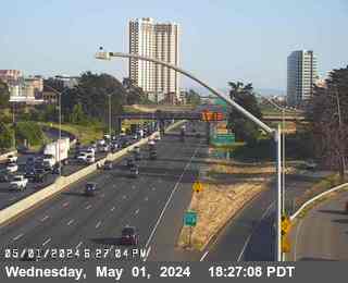 Live nowLive videoI-80 at Ashby, Berkeley
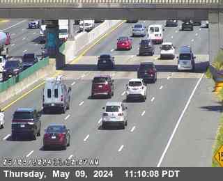 Live nowLive videoI-80 at West of Ashby Avenue, Emeryville
 Live nowLive videoSR-123 at 40th Street, looking East, Emeryville
 Live nowLive videoSR-123 at 40th Street, looking West, Emeryville
 Live nowLive videoSR-24 at W24 JEO JCT 980, Oakland
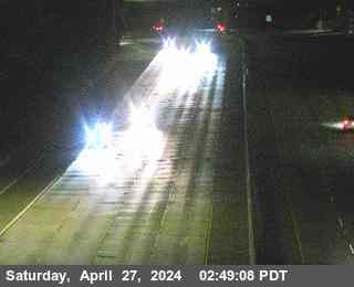 Live nowLive videoI-580 at Grand Lakeshore, Oakland
 Live nowLive videoI-80 at SFOBB at Incline, Oakland
 Live nowLive videoSR-260 at Posey Tube Tunnel Entrance, Alameda
 Live nowLive videoI-80 at Bay Bridge SAS Tower West, San Francisco
 Live nowLive videoI-580 at Cutting Blvd, Richmond
 Live nowLive videoI-580 at 35th Avenue, Oakland
 Live nowLive videoI-580 at High Street, Oakland
 Live nowLive videoI-580 at Toll Plaza, Richmond
 WorkingStill imageSR-123 at Buchanan Street, looking South, Albany
 WorkingStill imageSR-123 at Buchanan Street, looking West, Albany
 WorkingStill imageI-80 at Ashby Avenue Onramp, Berkeley
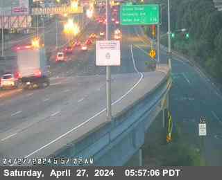 WorkingStill imageI-80 at Buchanan Street, Albany
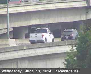 WorkingStill imageI-80 at WOF Albany OR, Berkeley
 WorkingStill imageSR-123 at Central Avenue, looking North, El Cerrito
 WorkingStill imageI-880 at Just North Of 7th Street, Oakland
 WorkingStill imageSR-123 at Cutting Blvd, looking South, El Cerrito
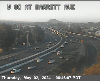 WorkingStill imageI-80 at WOF BARRETT AV, Richmond
 WorkingStill imageI-80 at San Pablo Dam Road, San Pablo
 WorkingStill imageI-80 at El Portal Drive, El Sobrante
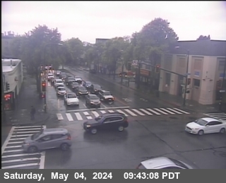 WorkingStill imageSR-123 at University Avenue, looking West, Berkeley
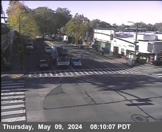 WorkingStill imageSR-123 at University Avenue, looking South, Berkeley
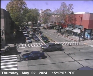 WorkingStill imageSR-123 at University Avenue, looking North, Berkeley
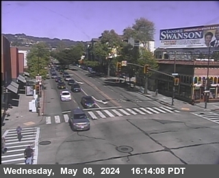 WorkingStill imageSR-123 at University Avenue, looking East, Berkeley
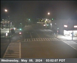 WorkingStill imageSR-123 at Gilman Street, looking West, Albany
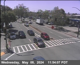 WorkingStill imageSR-123 at Gilman Street, looking South, Albany
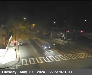 WorkingStill imageSR-123 at Gilman Street, looking North, Berkeley
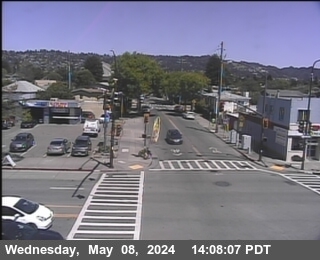 WorkingStill imageSR-123 at Gilman Street, looking East, Albany
 WorkingStill imageSR-123 at Ashby Avenue, looking South, Berkeley
 WorkingStill imageSR-123 at Ashby Avenue, looking West, Berkeley
 WorkingStill imageSR-123 at Ashby Avenue, looking East, Berkeley
 WorkingStill imageSR-123 at Ashby Avenue, looking North, Berkeley
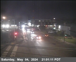 WorkingStill imageSR-13 at E13 AT 7TH ST, looking West, Berkeley
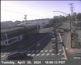 WorkingStill imageSR-13 at E13 AT 7TH ST, looking North, Berkeley
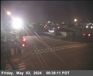 WorkingStill imageSR-13 at E13 AT 7TH ST, looking South, Berkeley
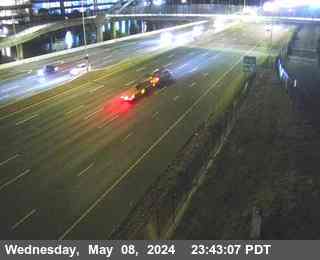 WorkingStill imageI-80 at University Avenue, Berkeley
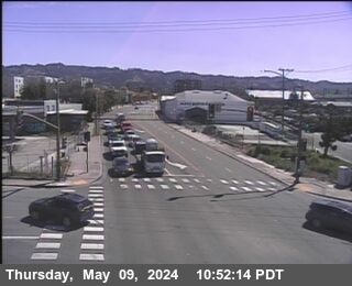 WorkingStill imageSR-13 at E13 AT 7TH ST, looking East, Berkeley
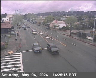 WorkingStill imageSR-123 at Buchanan Street, looking North, Albany
 WorkingStill imageI-80 at University Avenue Onramp, Berkeley
 WorkingStill imageI-80 at Gilman Street Offramp, Berkeley
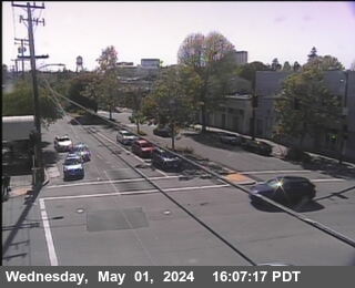 WorkingStill imageSR-123 at STANFORD AV Looking West, Emeryville
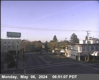 WorkingStill imageSR-123 at STANFORD AV Looking South, Emeryville
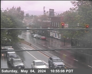 WorkingStill imageSR-123 at STANFORD AV Looking North, Emeryville
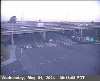 WorkingStill imageI-80 at Buchanan Street West View, Berkeley
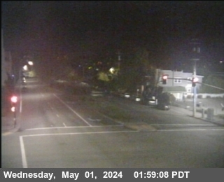 WorkingStill imageSR-123 at STANFORD AV Looking East, Emeryville
 WorkingStill imageI-80 at Buchanan Street Offramp South View, Berkeley
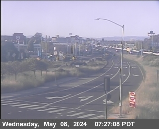 WorkingStill imageI-80 at Buchanan Street East View, Berkeley
 WorkingStill imageI-80 at Powell Street Offramp, Emeryville
 WorkingStill imageSR-123 at Central Avenue, looking South, El Cerrito
 WorkingStill imageSR-123 at Central Avenue, looking West, El Cerrito
 WorkingStill imageSR-123 at Central Avenue, looking East, El Cerrito
 WorkingStill imageI-80 at Central Avenue Onramp, looking East, Richmond
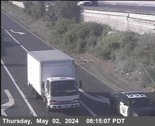 WorkingStill imageI-80 at Central Avenue Onramp, looking South, Richmond
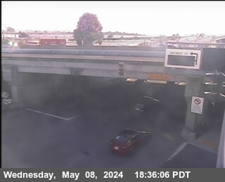 WorkingStill imageI-80 at Central Avenue Onramp, looking West, Richmond
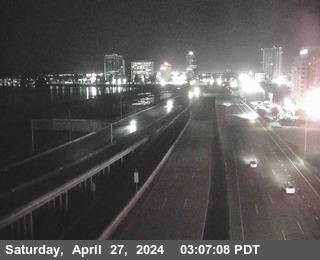 WorkingStill imageI-880 I-80 at CR WOF POWELL ST, Emeryville
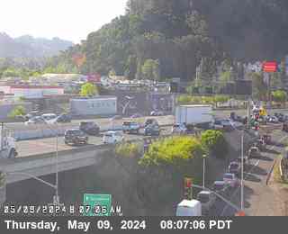 WorkingStill imageI-80 at Central Avenue Onramp, Richmond
 WorkingStill imageSR-24 at SR-13, Oakland
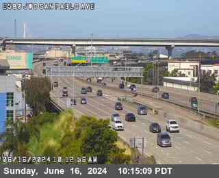 WorkingStill imageI-580 at PERALTA ST, Emeryville
 WorkingStill imageI-80 at Before Central Avenue, Richmond
 WorkingStill imageI-580 at HANNA ST OC, Emeryville
 WorkingStill imageI-580 at JEO 80 JCT, Oakland
 WorkingStill imageI-580 at WEBSTER ST, Oakland
 WorkingStill imageI-80 at Carlson Blvd, Richmond
 WorkingStill imageI-880 at N880 at Grand Av, Oakland
 WorkingStill imageI-80 at EBMUD, Oakland
 WorkingStill imageI-80 at Just East Of Toll Plaza Horseshoe, Oakland
 WorkingStill imageI-80 at Carlson Blvd, Richmond
 WorkingStill imageI-880 at JCT 80, Oakland
 WorkingStill imageI-80 at Toll Plaza, Oakland
 WorkingStill imageI-580 at BAYVIEW AV, Richmond
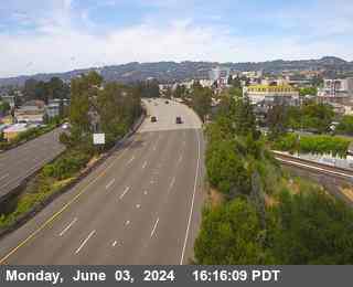 WorkingStill imageI-980 at JEO SAN PABLO AVE, Oakland
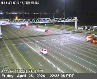 WorkingStill imageI-80 at Dispatch Blvd, Oakland
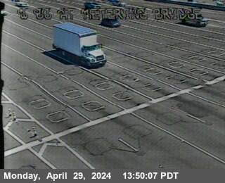 WorkingStill imageI-80 at Metering Bridge, Oakland
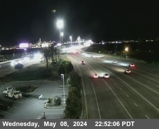 WorkingStill imageI-80 at SFOBB METERING DOWNSTREAM, Oakland
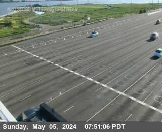 WorkingStill imageI-80 at SFOBB METERING UPSTREAM, Oakland
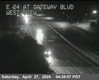 WorkingStill imageSR-24 at Gateway Blvd, Orinda
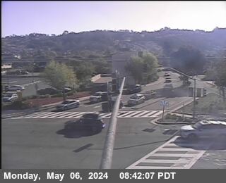 WorkingStill imageSR-123 at Potrero Avenue, looking East, El Cerrito
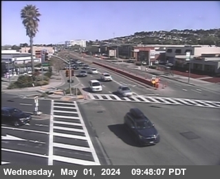 WorkingStill imageSR-123 at Potrero Avenue, looking North, El Cerrito
 WorkingStill imageSR-123 at Potrero Avenue, looking South, El Cerrito
 WorkingStill imageSR-123 at Potrero Avenue, looking West, El Cerrito
 WorkingStill imageI-80 at Sfobb Tow Building, Oakland
 WorkingStill imageI-580 at CHETWOOD ST, Oakland
 WorkingStill imageI-80 at W80 at Potrero Av OR, El Cerrito
 WorkingStill imageI-80 at E80 at Potrero Av, El Cerrito
 WorkingStill imageI-80 at JWO CUTTING BL, El Cerrito
 WorkingStill imageSR-123 at Cutting Blvd, looking East, El Cerrito
 WorkingStill imageSR-123 at Cutting Blvd, looking North, El Cerrito
 WorkingStill imageSR-123 at Cutting Blvd, looking West, El Cerrito
 WorkingStill imageI-980 at 14TH ST, Oakland
 WorkingStill imageI-80 at CUTTING BL OR, El Cerrito
 WorkingStill imageI-80 at Before Toll Plaza, Oakland
 WorkingStill imageI-80 at Leaving Bridge, Oakland
 WorkingStill imageSR-24 at CAMINO PABLO, Orinda
 WorkingStill imageI-980 at JCT 880, Oakland
 WorkingStill imageI-880 at Castro Street, Oakland
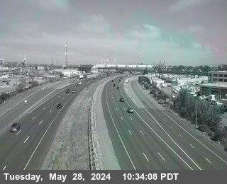 WorkingStill imageI-880 at 7TH ST, Oakland
 WorkingStill imageI-880 at BROADWAY OFR, Oakland
 WorkingStill imageI-880 at Broadway, Oakland
 WorkingStill imageSR-24 at JWO ST STEPHENS DR, Orinda
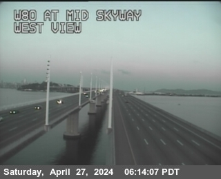 WorkingStill imageI-80 at Mid Skyway, San Francisco
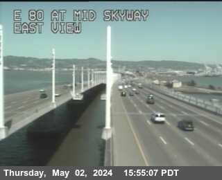 WorkingStill imageI-80 at Mid Skyway, San Francisco
 WorkingStill imageSR-24 at W24 JEO Camino Pablo, Orinda
 WorkingStill imageSR-24 at MORAGA WAY OR, Orinda
 WorkingStill imageI-880 at Oak Street, Oakland
 WorkingStill imageI-80 at San Pablo Avenue, Richmond
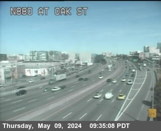 WorkingStill imageI-880 at Oak Street, Oakland
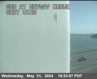 WorkingStill imageI-80 at Skyway Curve, San Francisco
 WorkingStill imageI-80 at After Skyway Curve, San Francisco
 WorkingStill imageI-80 at E80 at Solano Av, Richmond
 WorkingStill imageI-580 at FRUITVALE AV, Oakland
 WorkingStill imageSR-24 at W24 JEO St Stephens Drive OC, Orinda
 WorkingStill imageI-580 at CUTTING BL, Richmond
 WorkingStill imageI-880 at 16th Avenue Overcross, Oakland
 WorkingStill imageI-80 at Before YBI Tunnel, San Francisco
 WorkingStill imageI-80 at San Pablo Dam Road Offramp, looking West, San Pablo
 WorkingStill imageI-80 at San Pablo Dam Road Offramp, looking East, San Pablo
 WorkingStill imageI-880 at 23RD AV, Oakland
 WorkingStill imageI-880 at NORTH OF 23RD AV, Oakland
 WorkingStill imageI-880 at 23RD AV/KENNEDY ST OR, Oakland
 WorkingStill imageI-580 at JEO CANAL BL, Richmond
 WorkingStill imageI-80 at El Portal, San Pablo
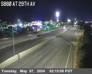 WorkingStill imageI-880 at 29TH AV, Oakland
 WorkingStill imageI-80 at Just East Of El Portal Drive, El Sobrante
 WorkingStill imageI-80 at Just West Of Hilltop Drive, El Sobrante
 WorkingStill imageSR-24 at E24 WOF Dolores Rd, Lafayette
 WorkingStill imageI-80 at Hilltop Drive, El Sobrante
 WorkingStill imageI-80 at E80 at Hilltop Dr, El Sobrante
 WorkingStill imageI-580 at Marine St, Richmond
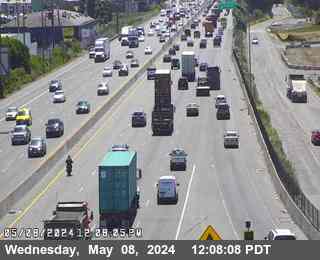 WorkingStill imageI-880 at JSO HIGH ST, Oakland
 WorkingStill imageI-580 at JCT 13, Oakland
 WorkingStill imageI-80 at Just East Of Hilltop Drive, El Sobrante
 WorkingStill imageI-80 at Richmond Parkway, Pinole
 WorkingStill imageI-80 at Richmond Parkway, San Pablo
 WorkingStill imageI-580 at Lower Deck Pier 77, Richmond
 WorkingStill imageI-80 at East Of Richmond Parkway, Pinole
 WorkingStill imageI-80 at Appian Way, Pinole
 WorkingStill imageI-580 at Lower Deck Pier 66, Richmond
 WorkingStill imageI-80 at Just East Of Appian Way, Pinole
 WorkingStill imageI-80 at Appian Way, Pinole
 WorkingStill imageI-80 at Pinole Valley Road, Pinole
 WorkingStill imageI-80 at Pinole Valley Road, Pinole
 WorkingStill imageI-580 at Lower Deck Pier 59, Richmond
 WorkingStill imageI-580 at Lower Deck Pier 57, Richmond
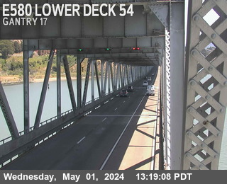 WorkingStill imageI-580 at Lower Deck Pier 54, Richmond
 WorkingStill imageI-80 at Before Pinole Valley Road, Pinole
 WorkingStill imageI-580 at Lower Deck Pier 52, Richmond
 WorkingStill imageI-580 at Lower Deck Pier 49, San Quentin
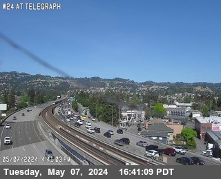 IntermittentLive videoSR-24 at TELEGRAPH, Oakland
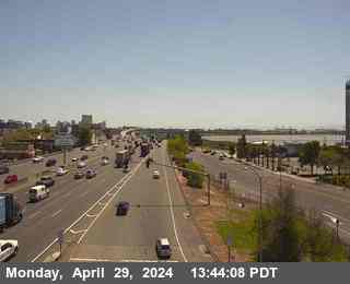 IntermittentLive videoI-80 at Powell Street Onramp, Emeryville
 IntermittentLive videoI-80 at Powell Street, Emeryville
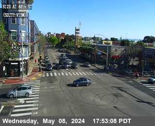 IntermittentLive videoSR-123 at 40th Street, looking South, Emeryville
 IntermittentLive videoSR-123 at 40th Street, looking North, Emeryville
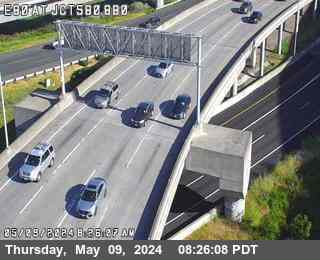 IntermittentLive videoI-880 at I-580 / I-80, Emeryville
 IntermittentLive videoI-580 at West of SR-24, Oakland
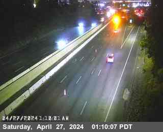 IntermittentLive videoI-80 at Carlson Blvd Offramp, Richmond
 IntermittentLive videoI-580 at Regatta Blvd, Richmond
 IntermittentLive videoSR-260 at Webster St Tunnel Entrance, Oakland
 IntermittentLive videoI-80 at McBryde Avenue, San Pablo
 IntermittentLive videoI-80 at Bay Bridge SAS Tower East, San Francisco
 IntermittentLive videoI-80 at San Pablo Dam Road, El Sobrante
 IntermittentLive videoI-880 at High Street, Oakland
 IntermittentLive videoI-80 at Fremont, San Francisco
 IntermittentLive videoI-880 at 66th Avenue, Oakland
 IntermittentLive videoI-80 at SFOBB Lower Deck Sterling Onramp, San Francisco
No live video among these cameras. Turn off "Live video only" to see them all.
Best cams to watch
- I-580 at Just East Of Beaumont Avenue, Oakland — Live video, working 100 % of the time in the last 30 days.
- I-580 at Upper Deck Pier 59, Richmond — Live video, working 100 % of the time in the last 30 days.
- I-80 at Gilman Street, Berkeley — Live video.
Berkeley is a city on the east shore of San Francisco Bay in Alameda County, California, rising from the bayfront flats up into the Berkeley Hills. Census takers in 2020 found roughly 124,000 residents. The city grew up around the University of California, whose flagship campus opened here in 1873, and it is still shaped by the university, its research laboratories and its students. Berkeley is also known for its role in the Free Speech Movement of the 1960s, for its food scene, including the Gourmet Ghetto on Shattuck Avenue, and for neighborhoods of craftsman houses climbing toward Tilden Regional Park.
From the hills and the marina, the views reach across the water to San Francisco, the Golden Gate Bridge and Mount Tamalpais.
Eastshore Freeway views
The cameras listed here are operated by Caltrans and come from its CWWP2 image feed, the same source as the QuickMap traveler site. They provide still images that are renewed every few minutes. Interstate 80, the Eastshore Freeway, follows the bay edge along the west side of Berkeley, sharing the road with Interstate 580 for part of the way toward the Bay Bridge distribution structure. This corridor is one of the most congested in the Bay Area, and the views show stop-and-go traffic toward San Francisco on weekday mornings and back toward Richmond and Sacramento in the evening.
Berkeley shares San Francisco's Pacific clock. Summer here is often cool and gray, as fog pours through the Golden Gate in the afternoon, while September and October tend to be the sunniest and warmest months. Winter brings most of the year's rain. Big days on campus, such as Cal football games at California Memorial Stadium or commencement in May, add to the traffic. Around the summer solstice, the sun goes down behind the Golden Gate at about half past eight.
Emeryville and Oakland lie directly to the south, and Albany and El Cerrito continue the freeway corridor north along the shoreline.
Sources: Berkeley, California - Wikipedia · Interstate 80 in California - Wikipedia · Caltrans QuickMap.
Nearby places
- San Francisco (276)
- Richmond (175)
- Oakland (172)
- Sacramento (157)
- Alameda (155)
- San Jose (145)
- Arden-Arcade (110)
- Santa Clara (102)
Questions about Berkeley
How many live cameras are there in Berkeley?
LiveLocation lists 171 cameras in and around Berkeley, United States: 33 live video, 138 still images. 154 of them were live or showing a fresh image at the last check.
Who runs the cameras in Berkeley?
All of them come from Caltrans (171). Each camera plays straight from the agency or owner that runs it, with credit. Caltrans
What can I see on the Berkeley cameras?
All of them show traffic and highway (171). Good ones to start with: I-580 at Just East Of Beaumont Avenue, Oakland and I-580 at Upper Deck Pier 59, Richmond. I-580 at Just East Of Beaumont Avenue, Oakland I-580 at Upper Deck Pier 59, Richmond
Can I watch live video from Berkeley?
Yes: 33 of the 171 cameras send live video. Turn on "Live video only" above the grid to see just those. The other 138 are still images that refresh every few minutes.
What time is it in Berkeley, and when is it light?
Berkeley is on America/Los Angeles time. On October 7 the sun rises at 7:10 AM and sets at 6:43 PM, so still images are clearest between those times. Road cameras show the most traffic in the weekday morning and evening rush hours.
Which places near Berkeley also have cameras?
The nearest are Albany (1.7 mi away, 97 cameras), El Cerrito (3.7 mi away, 78 cameras) and Oakland (4.6 mi away, 172 cameras). Albany El Cerrito Oakland
How can I see the Berkeley cameras on a map?
The map at the top of this page shows all 171 of them. The live camera radar centers on Berkeley and lists every camera within 5 to 250 miles, nearest first, with filters for live video, traffic, nature and more. Open the radar on Berkeley
Place names and locations: GeoNames, licensed under CC BY 4.0.