Live cameras in El Cerrito, United States
78 cameras: 8 live video, 70 still images · 74 working now · updated Oct 8, 05:59 UTC
El Cerrito has 78 live cameras on LiveLocation right now: 8 live video, 70 still images. Good places to start: I-80 at Gilman Street, Berkeley, I-580 at Cutting Blvd, Richmond, I-80 at Ashby, Berkeley. Local time is 10:59 PM (America/Los Angeles). Today the sun rises at 7:10 AM and sets at 6:43 PM.
El Cerrito live cameras
El Cerrito live cameras, all in one place: 8 live video, 70 still images. 74 of them were live or fresh at the last check. El Cerrito is home to about 24,000 people.
 Live nowLive videoI-80 at Gilman Street, Berkeley
 Live nowLive videoI-580 at Cutting Blvd, Richmond
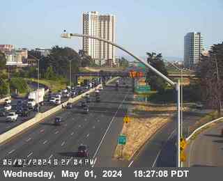 Live nowLive videoI-80 at Ashby, Berkeley
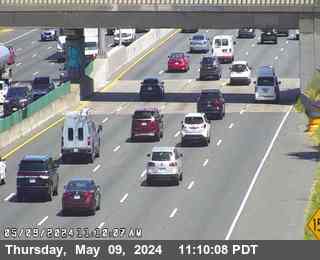 Live nowLive videoI-80 at West of Ashby Avenue, Emeryville
 WorkingStill imageSR-123 at Cutting Blvd, looking South, El Cerrito
 WorkingStill imageSR-123 at Central Avenue, looking North, El Cerrito
 WorkingStill imageI-80 at WOF Albany OR, Berkeley
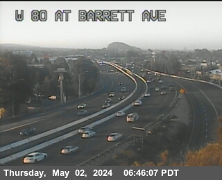 WorkingStill imageI-80 at WOF BARRETT AV, Richmond
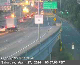 WorkingStill imageI-80 at Buchanan Street, Albany
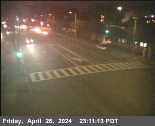 WorkingStill imageSR-123 at Buchanan Street, looking South, Albany
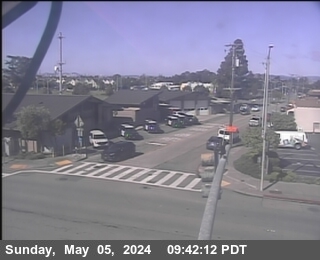 WorkingStill imageSR-123 at Buchanan Street, looking West, Albany
 WorkingStill imageI-80 at San Pablo Dam Road, San Pablo
 WorkingStill imageI-80 at El Portal Drive, El Sobrante
 WorkingStill imageI-80 at Ashby Avenue Onramp, Berkeley
 WorkingStill imageI-80 at Carlson Blvd, Richmond
 WorkingStill imageSR-123 at Potrero Avenue, looking East, El Cerrito
 WorkingStill imageSR-123 at Potrero Avenue, looking North, El Cerrito
 WorkingStill imageSR-123 at Potrero Avenue, looking South, El Cerrito
 WorkingStill imageSR-123 at Potrero Avenue, looking West, El Cerrito
 WorkingStill imageI-80 at Carlson Blvd, Richmond
 WorkingStill imageI-80 at W80 at Potrero Av OR, El Cerrito
 WorkingStill imageI-80 at E80 at Potrero Av, El Cerrito
 WorkingStill imageI-80 at JWO CUTTING BL, El Cerrito
 WorkingStill imageI-580 at BAYVIEW AV, Richmond
 WorkingStill imageI-80 at Before Central Avenue, Richmond
 WorkingStill imageSR-123 at Cutting Blvd, looking East, El Cerrito
 WorkingStill imageSR-123 at Cutting Blvd, looking North, El Cerrito
 WorkingStill imageSR-123 at Cutting Blvd, looking West, El Cerrito
 WorkingStill imageI-80 at CUTTING BL OR, El Cerrito
 WorkingStill imageI-80 at Central Avenue Onramp, looking South, Richmond
 WorkingStill imageI-80 at Central Avenue Onramp, looking West, Richmond
 WorkingStill imageI-80 at Central Avenue Onramp, Richmond
 WorkingStill imageI-80 at Central Avenue Onramp, looking East, Richmond
 WorkingStill imageSR-123 at Central Avenue, looking East, El Cerrito
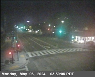 WorkingStill imageSR-123 at Central Avenue, looking South, El Cerrito
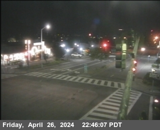 WorkingStill imageSR-123 at Central Avenue, looking West, El Cerrito
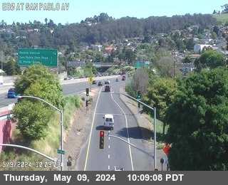 WorkingStill imageI-80 at San Pablo Avenue, Richmond
 WorkingStill imageI-80 at Buchanan Street Offramp South View, Berkeley
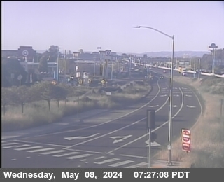 WorkingStill imageI-80 at Buchanan Street East View, Berkeley
 WorkingStill imageI-80 at Buchanan Street West View, Berkeley
 WorkingStill imageI-80 at E80 at Solano Av, Richmond
 WorkingStill imageSR-123 at Buchanan Street, looking North, Albany
 WorkingStill imageSR-123 at Gilman Street, looking East, Albany
 WorkingStill imageSR-123 at Gilman Street, looking South, Albany
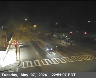 WorkingStill imageSR-123 at Gilman Street, looking North, Berkeley
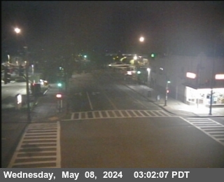 WorkingStill imageSR-123 at Gilman Street, looking West, Albany
 WorkingStill imageI-80 at Gilman Street Offramp, Berkeley
 WorkingStill imageI-580 at CUTTING BL, Richmond
 WorkingStill imageI-80 at San Pablo Dam Road Offramp, looking West, San Pablo
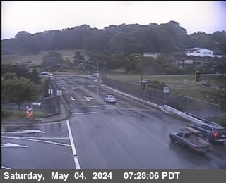 WorkingStill imageI-80 at San Pablo Dam Road Offramp, looking East, San Pablo
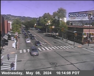 WorkingStill imageSR-123 at University Avenue, looking East, Berkeley
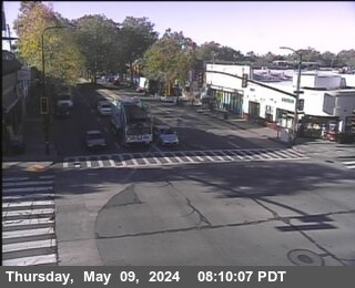 WorkingStill imageSR-123 at University Avenue, looking South, Berkeley
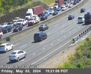 WorkingStill imageI-80 at El Portal, San Pablo
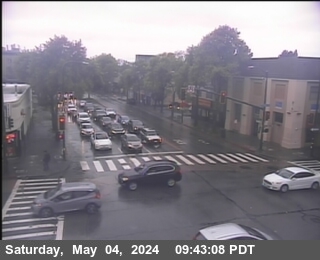 WorkingStill imageSR-123 at University Avenue, looking West, Berkeley
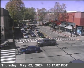 WorkingStill imageSR-123 at University Avenue, looking North, Berkeley
 WorkingStill imageI-80 at University Avenue Onramp, Berkeley
 WorkingStill imageI-80 at Just East Of El Portal Drive, El Sobrante
 WorkingStill imageI-80 at University Avenue, Berkeley
 WorkingStill imageI-580 at JEO CANAL BL, Richmond
 WorkingStill imageI-80 at Just West Of Hilltop Drive, El Sobrante
 WorkingStill imageI-80 at Hilltop Drive, El Sobrante
 WorkingStill imageI-80 at E80 at Hilltop Dr, El Sobrante
 WorkingStill imageI-580 at Marine St, Richmond
 WorkingStill imageI-80 at Just East Of Hilltop Drive, El Sobrante
 WorkingStill imageSR-123 at Ashby Avenue, looking East, Berkeley
 WorkingStill imageSR-123 at Ashby Avenue, looking South, Berkeley
 WorkingStill imageSR-13 at E13 AT 7TH ST, looking West, Berkeley
 WorkingStill imageSR-123 at Ashby Avenue, looking West, Berkeley
 WorkingStill imageSR-13 at E13 AT 7TH ST, looking South, Berkeley
 WorkingStill imageSR-123 at Ashby Avenue, looking North, Berkeley
 WorkingStill imageSR-13 at E13 AT 7TH ST, looking North, Berkeley
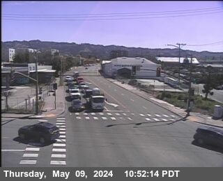 WorkingStill imageSR-13 at E13 AT 7TH ST, looking East, Berkeley
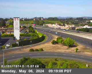 WorkingStill imageI-80 at Richmond Parkway, Pinole
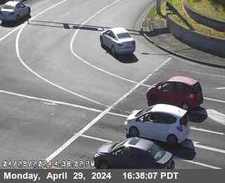 WorkingStill imageI-80 at Richmond Parkway, San Pablo
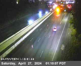 IntermittentLive videoI-80 at Carlson Blvd Offramp, Richmond
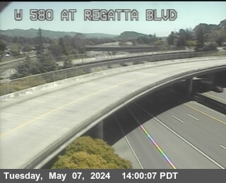 IntermittentLive videoI-580 at Regatta Blvd, Richmond
 IntermittentLive videoI-80 at McBryde Avenue, San Pablo
 IntermittentLive videoI-80 at San Pablo Dam Road, El Sobrante
No live video among these cameras. Turn off "Live video only" to see them all.
Best cams to watch
- I-80 at Gilman Street, Berkeley — Live video.
- I-580 at Cutting Blvd, Richmond — Live video.
- I-80 at Ashby, Berkeley — Live video.
El Cerrito is a small city on the east shore of San Francisco Bay, tucked into the southwestern corner of Contra Costa County between Albany and Richmond. Its name means the little hill in Spanish, a nod to nearby Albany Hill. The 2020 census counted about 26,000 residents. The town began as a camp for refugees from the 1906 San Francisco earthquake, was briefly called Rust after its first postmaster, and incorporated as El Cerrito in 1917. Bungalows fill the flatlands, while homes in the hills look out toward San Francisco and the Golden Gate Bridge.
San Pablo Avenue is the main commercial street, and two BART stations, El Cerrito Plaza and El Cerrito del Norte, connect the city to Oakland and San Francisco. The Ohlone Greenway, a walking and cycling path under the elevated BART tracks, runs through town, and Wildcat Canyon Regional Park borders it on the east.
The I-80 corridor
All of these images come from Caltrans and its CWWP2 feed, the same pictures shown on QuickMap, and they update every few minutes as still shots. Interstate 80 runs along the western edge of El Cerrito, and Interstate 580 is close by, splitting off toward the Richmond–San Rafael Bridge. Because the map places each camera at its nearest town, this page gathers views from the busy I-80 corridor between Albany and Richmond, where morning traffic toward the Bay Bridge often slows to a crawl.
Image times are Pacific, matching the rest of the Bay Area. Its weather is mild and maritime: summer mornings can be foggy and breezy, early autumn is often the warmest stretch, and nearly all the rain falls between November and April. Weekday commute peaks come early here, and Friday afternoons are heavy with traffic leaving the Bay Area toward Sacramento and Lake Tahoe.
Close by, the Albany Bulb and the shoreline park along the bay are good places to walk, and the Berkeley campus is just a few miles south.
Sources: El Cerrito, California - Wikipedia · Interstate 580 (California) - Wikipedia · Caltrans QuickMap.
Nearby places
- San Francisco (276)
- Richmond (175)
- Oakland (172)
- Berkeley (171)
- Sacramento (157)
- Alameda (155)
- San Jose (145)
- Arden-Arcade (110)
Questions about El Cerrito
How many webcams can I watch in El Cerrito?
LiveLocation lists 78 cameras in and around El Cerrito, United States: 8 live video, 70 still images. 74 of them were live or showing a fresh image at the last check.
Where do the El Cerrito cameras come from?
All of them come from Caltrans (78). Each camera plays straight from the agency or owner that runs it, with credit. Caltrans
What kinds of views are there in El Cerrito?
All of them show traffic and highway (78). Good ones to start with: I-80 at Gilman Street, Berkeley and I-580 at Cutting Blvd, Richmond. I-80 at Gilman Street, Berkeley I-580 at Cutting Blvd, Richmond
Is there live video from El Cerrito?
Yes: 8 of the 78 cameras send live video. Turn on "Live video only" above the grid to see just those. The other 70 are still images that refresh every few minutes.
When is the best time to watch the El Cerrito cameras?
El Cerrito is on America/Los Angeles time. On October 7 the sun rises at 7:10 AM and sets at 6:43 PM, so still images are clearest between those times. Road cameras show the most traffic in the weekday morning and evening rush hours.
Are there live cameras near El Cerrito?
The nearest are Albany (2.1 mi away, 97 cameras), Richmond (2.4 mi away, 175 cameras) and San Pablo (3.7 mi away, 69 cameras). Albany Richmond San Pablo
Is there a map of the cameras in El Cerrito?
The map at the top of this page shows all 78 of them. The live camera radar centers on El Cerrito and lists every camera within 5 to 250 miles, nearest first, with filters for live video, traffic, nature and more. Open the radar on El Cerrito
Place names and locations: GeoNames, licensed under CC BY 4.0.