Live cameras in Richmond, United States
175 cameras: 33 live video, 142 still images · 156 working now · updated Oct 8, 03:32 UTC
Richmond has 175 live cameras on LiveLocation right now: 33 live video, 142 still images. Good places to start: I-580 at Upper Deck Pier 59, Richmond, I-580 at Cutting Blvd, Richmond, I-580 at Toll Plaza, Richmond. Local time is 8:32 PM (America/Los Angeles). Today the sun rises at 7:10 AM and sets at 6:43 PM.
Richmond live cameras
Every Richmond live camera we know of: 33 live video, 142 still images. 156 of them were live or fresh at the last check. Richmond is home to about 110,000 people.
 Live nowLive videoI-580 at Upper Deck Pier 59, Richmond
 Live nowLive videoI-580 at Cutting Blvd, Richmond
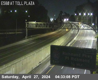 Live nowLive videoI-580 at Toll Plaza, Richmond
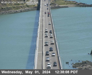 Live nowLive videoI-580 at Upper Deck Truss Tower Pier 48, San Quentin
 Live nowLive videoI-80 at Gilman Street, Berkeley
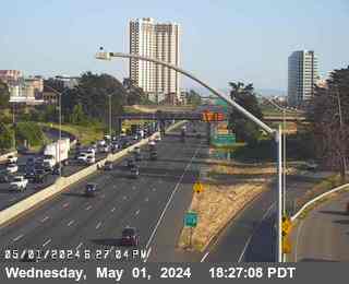 Live nowLive videoI-80 at Ashby, Berkeley
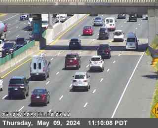 Live nowLive videoI-80 at West of Ashby Avenue, Emeryville
 Live nowLive videoI-80 at Before Sycamore Avenue, Hercules
 Live nowLive videoI-80 at SR-4, Hercules
 Live nowLive videoI-80 at SFOBB at Incline, Oakland
 Live nowLive videoSR-123 at 40th Street, looking East, Emeryville
 Live nowLive videoSR-123 at 40th Street, looking West, Emeryville
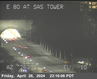 Live nowLive videoI-80 at Bay Bridge SAS Tower West, San Francisco
 Live nowLive videoSR-24 at W24 JEO JCT 980, Oakland
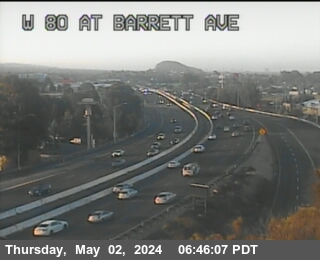 WorkingStill imageI-80 at WOF BARRETT AV, Richmond
 WorkingStill imageSR-123 at Cutting Blvd, looking South, El Cerrito
 WorkingStill imageI-80 at San Pablo Dam Road, San Pablo
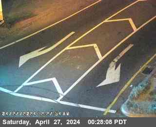 WorkingStill imageI-80 at El Portal Drive, El Sobrante
 WorkingStill imageSR-123 at Central Avenue, looking North, El Cerrito
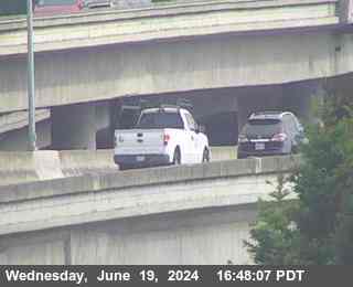 WorkingStill imageI-80 at WOF Albany OR, Berkeley
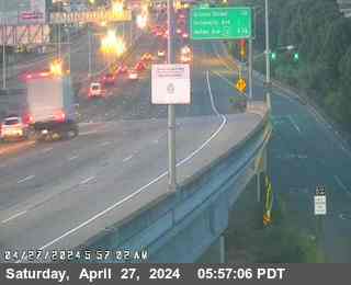 WorkingStill imageI-80 at Buchanan Street, Albany
 WorkingStill imageSR-123 at Buchanan Street, looking South, Albany
 WorkingStill imageSR-123 at Buchanan Street, looking West, Albany
 WorkingStill imageI-580 at Lower Deck Pier 47, San Quentin
 WorkingStill imageI-580 at Lower Deck Pier 8, San Quentin
 WorkingStill imageI-80 at Ashby Avenue Onramp, Berkeley
 WorkingStill imageI-880 at Just North Of 7th Street, Oakland
 WorkingStill imageI-580 at CUTTING BL, Richmond
 WorkingStill imageI-80 at San Pablo Avenue, Richmond
 WorkingStill imageI-80 at E80 at Solano Av, Richmond
 WorkingStill imageI-80 at CUTTING BL OR, El Cerrito
 WorkingStill imageI-80 at San Pablo Dam Road Offramp, looking West, San Pablo
 WorkingStill imageI-80 at San Pablo Dam Road Offramp, looking East, San Pablo
 WorkingStill imageI-580 at JEO CANAL BL, Richmond
 WorkingStill imageI-80 at JWO CUTTING BL, El Cerrito
 WorkingStill imageSR-123 at Cutting Blvd, looking East, El Cerrito
 WorkingStill imageSR-123 at Cutting Blvd, looking North, El Cerrito
 WorkingStill imageSR-123 at Cutting Blvd, looking West, El Cerrito
 WorkingStill imageI-80 at W80 at Potrero Av OR, El Cerrito
 WorkingStill imageI-80 at E80 at Potrero Av, El Cerrito
 WorkingStill imageSR-123 at Potrero Avenue, looking East, El Cerrito
 WorkingStill imageSR-123 at Potrero Avenue, looking North, El Cerrito
 WorkingStill imageSR-123 at Potrero Avenue, looking South, El Cerrito
 WorkingStill imageSR-123 at Potrero Avenue, looking West, El Cerrito
 WorkingStill imageI-580 at BAYVIEW AV, Richmond
 WorkingStill imageI-80 at El Portal, San Pablo
 WorkingStill imageI-80 at Carlson Blvd, Richmond
 WorkingStill imageI-80 at Just East Of El Portal Drive, El Sobrante
 WorkingStill imageI-580 at Marine St, Richmond
 WorkingStill imageI-80 at Carlson Blvd, Richmond
 WorkingStill imageI-80 at Before Central Avenue, Richmond
 WorkingStill imageI-80 at Just West Of Hilltop Drive, El Sobrante
 WorkingStill imageI-80 at Central Avenue Onramp, Richmond
 WorkingStill imageI-80 at Central Avenue Onramp, looking South, Richmond
 WorkingStill imageI-80 at Central Avenue Onramp, looking West, Richmond
 WorkingStill imageI-580 at Lower Deck Pier 77, Richmond
 WorkingStill imageI-80 at Central Avenue Onramp, looking East, Richmond
 WorkingStill imageI-80 at Hilltop Drive, El Sobrante
 WorkingStill imageI-80 at E80 at Hilltop Dr, El Sobrante
 WorkingStill imageSR-123 at Central Avenue, looking East, El Cerrito
 WorkingStill imageSR-123 at Central Avenue, looking South, El Cerrito
 WorkingStill imageSR-123 at Central Avenue, looking West, El Cerrito
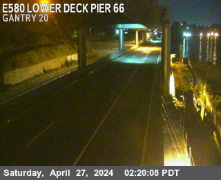 WorkingStill imageI-580 at Lower Deck Pier 66, Richmond
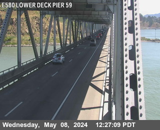 WorkingStill imageI-580 at Lower Deck Pier 59, Richmond
 WorkingStill imageI-80 at Just East Of Hilltop Drive, El Sobrante
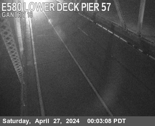 WorkingStill imageI-580 at Lower Deck Pier 57, Richmond
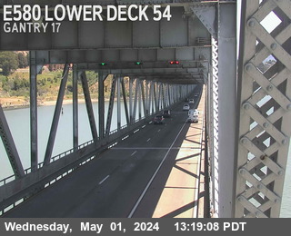 WorkingStill imageI-580 at Lower Deck Pier 54, Richmond
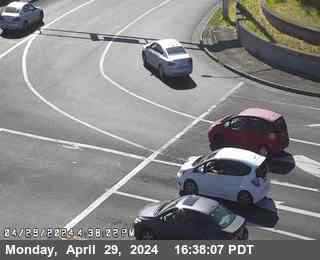 WorkingStill imageI-80 at Richmond Parkway, San Pablo
 WorkingStill imageI-580 at Lower Deck Pier 52, Richmond
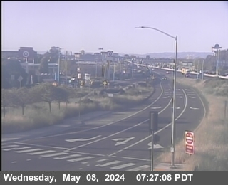 WorkingStill imageI-80 at Buchanan Street East View, Berkeley
 WorkingStill imageI-80 at Buchanan Street Offramp South View, Berkeley
 WorkingStill imageI-80 at Richmond Parkway, Pinole
 WorkingStill imageI-80 at Buchanan Street West View, Berkeley
 WorkingStill imageI-580 at Lower Deck Pier 49, San Quentin
 WorkingStill imageI-580 at Upper Deck Pier 48, San Quentin
 WorkingStill imageI-580 at Lower Deck Pier 48, San Quentin
 WorkingStill imageSR-123 at Buchanan Street, looking North, Albany
 WorkingStill imageI-80 at East Of Richmond Parkway, Pinole
 WorkingStill imageI-580 at Upper Deck Truss Tower Pier 47, San Quentin
 WorkingStill imageI-580 at Lower Deck Pier 46, San Quentin
 WorkingStill imageI-80 at Gilman Street Offramp, Berkeley
 WorkingStill imageI-80 at Appian Way, Pinole
 WorkingStill imageI-580 at Lower Deck Pier 43, San Quentin
 WorkingStill imageI-80 at Just East Of Appian Way, Pinole
 WorkingStill imageI-80 at Appian Way, Pinole
 WorkingStill imageSR-123 at Gilman Street, looking East, Albany
 WorkingStill imageSR-123 at Gilman Street, looking South, Albany
 WorkingStill imageSR-123 at Gilman Street, looking North, Berkeley
 WorkingStill imageSR-123 at Gilman Street, looking West, Albany
 WorkingStill imageI-580 at Lower Deck Pier 41, San Quentin
 WorkingStill imageI-580 at Lower Deck Pier 38, San Quentin
 WorkingStill imageI-580 at Upper Deck Truss Tower Pier 35, San Quentin
 WorkingStill imageI-580 at Upper Deck Pier 35, San Quentin
 WorkingStill imageI-580 at Lower Deck Pier 35, San Quentin
 WorkingStill imageI-80 at University Avenue Onramp, Berkeley
 WorkingStill imageI-80 at Pinole Valley Road, Pinole
 WorkingStill imageI-580 at Upper Deck Truss Tower Pier 34, San Quentin
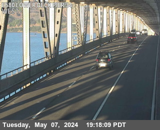 WorkingStill imageI-580 at Lower Deck Pier 34, San Quentin
 WorkingStill imageI-80 at Pinole Valley Road, Pinole
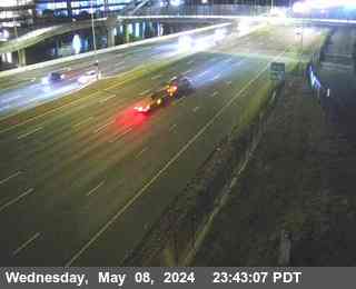 WorkingStill imageI-80 at University Avenue, Berkeley
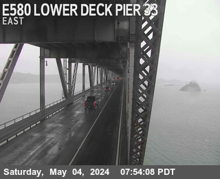 WorkingStill imageI-580 at Lower Deck Pier 33, San Quentin
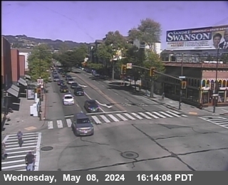 WorkingStill imageSR-123 at University Avenue, looking East, Berkeley
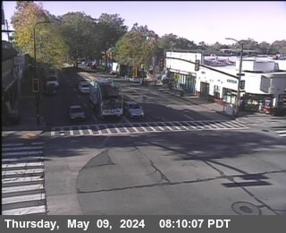 WorkingStill imageSR-123 at University Avenue, looking South, Berkeley
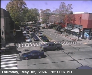 WorkingStill imageSR-123 at University Avenue, looking North, Berkeley
 WorkingStill imageSR-123 at University Avenue, looking West, Berkeley
 WorkingStill imageI-580 at Lower Deck Pier 31, San Quentin
 WorkingStill imageI-580 at Lower Deck Pier 29, San Quentin
 WorkingStill imageI-80 at Before Pinole Valley Road, Pinole
 WorkingStill imageI-580 at Lower Deck Pier 26, San Quentin
 WorkingStill imageI-580 at Lower Deck Pier 23, San Quentin
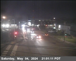 WorkingStill imageSR-13 at E13 AT 7TH ST, looking West, Berkeley
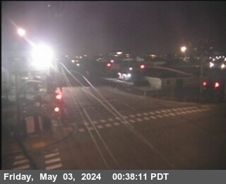 WorkingStill imageSR-13 at E13 AT 7TH ST, looking South, Berkeley
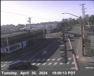 WorkingStill imageSR-13 at E13 AT 7TH ST, looking North, Berkeley
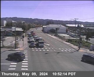 WorkingStill imageSR-13 at E13 AT 7TH ST, looking East, Berkeley
 WorkingStill imageSR-123 at Ashby Avenue, looking East, Berkeley
 WorkingStill imageSR-123 at Ashby Avenue, looking South, Berkeley
 WorkingStill imageSR-123 at Ashby Avenue, looking West, Berkeley
 WorkingStill imageSR-123 at Ashby Avenue, looking North, Berkeley
 WorkingStill imageSR-4 I-80 at E80 at EB80 to EB 4 CR, Rodeo
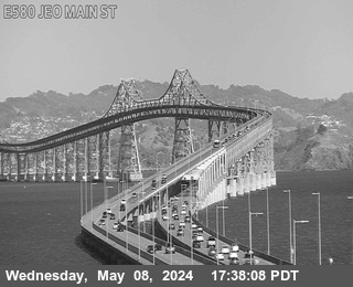 WorkingStill imageI-580 at Eof Main St, San Rafael
 WorkingStill imageI-80 at Powell Street Offramp, Emeryville
 WorkingStill imageSR-123 at STANFORD AV Looking South, Emeryville
 WorkingStill imageSR-123 at STANFORD AV Looking West, Emeryville
 WorkingStill imageSR-123 at STANFORD AV Looking North, Emeryville
 WorkingStill imageSR-123 at STANFORD AV Looking East, Emeryville
 WorkingStill imageI-80 at Willow Avenue, Rodeo
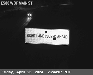 WorkingStill imageI-580 at Wof Main St, San Quentin
 WorkingStill imageI-80 at Willow Avenue Onramp, Rodeo
 WorkingStill imageI-880 I-80 at CR WOF POWELL ST, Emeryville
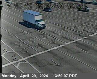 WorkingStill imageI-80 at Metering Bridge, Oakland
 WorkingStill imageI-80 at SFOBB METERING DOWNSTREAM, Oakland
 WorkingStill imageI-80 at SFOBB METERING UPSTREAM, Oakland
 WorkingStill imageI-80 at Dispatch Blvd, Oakland
 WorkingStill imageI-80 at Toll Plaza, Oakland
 WorkingStill imageI-80 at Leaving Bridge, Oakland
 WorkingStill imageI-80 at Sfobb Tow Building, Oakland
 WorkingStill imageI-80 at Before Toll Plaza, Oakland
 WorkingStill imageI-80 at Just East Of Toll Plaza Horseshoe, Oakland
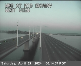 WorkingStill imageI-80 at Mid Skyway, San Francisco
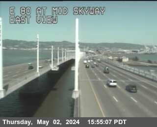 WorkingStill imageI-80 at Mid Skyway, San Francisco
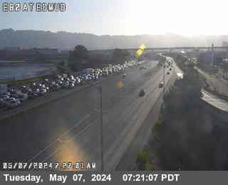 WorkingStill imageI-80 at EBMUD, Oakland
 WorkingStill imageI-580 at JEO 80 JCT, Oakland
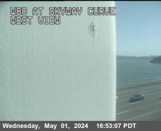 WorkingStill imageI-80 at Skyway Curve, San Francisco
 WorkingStill imageI-80 at After Skyway Curve, San Francisco
 WorkingStill imageI-80 at CALIFORNIA ST, Rodeo
 WorkingStill imageI-580 at HANNA ST OC, Emeryville
 WorkingStill imageI-80 at Just East Of Willow Avenue, Rodeo
 WorkingStill imageI-580 at PERALTA ST, Emeryville
 WorkingStill imageI-580 at WOF FRANCISCO BLVD, San Rafael
 WorkingStill imageI-880 at N880 at Grand Av, Oakland
 WorkingStill imageI-80 at Before YBI Tunnel, San Francisco
 WorkingStill imageI-880 at JCT 80, Oakland
 WorkingStill imageI-80 at Just West Of Cummings Skwy, Rodeo
 WorkingStill imageSR-24 at SR-13, Oakland
 WorkingStill imageI-580 at WEBSTER ST, Oakland
 WorkingStill imageUS-101 at JNO GREENBRAE PED OC, Greenbrae
 IntermittentLive videoI-580 at Regatta Blvd, Richmond
 IntermittentLive videoI-80 at McBryde Avenue, San Pablo
 IntermittentLive videoI-80 at San Pablo Dam Road, El Sobrante
 IntermittentLive videoI-80 at Carlson Blvd Offramp, Richmond
 IntermittentLive videoI-580 at Upper Deck Pier 47, San Quentin
 IntermittentLive videoI-580 at Lower Deck Pier 36, San Quentin
 IntermittentLive videoI-580 at Upper Deck Pier 34, San Quentin
 IntermittentLive videoI-580 at Lower Deck Pier 21, San Quentin
 IntermittentLive videoI-580 at Upper Deck Pier 16, San Quentin
 IntermittentLive videoI-580 at Lower Deck Pier 16, San Quentin
 IntermittentLive videoI-80 at Powell Street Onramp, Emeryville
 IntermittentLive videoI-80 at Powell Street, Emeryville
 IntermittentLive videoI-880 at I-580 / I-80, Emeryville
 IntermittentLive videoSR-24 at TELEGRAPH, Oakland
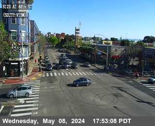 IntermittentLive videoSR-123 at 40th Street, looking South, Emeryville
 IntermittentLive videoSR-123 at 40th Street, looking North, Emeryville
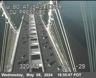 IntermittentLive videoI-80 at Bay Bridge SAS Tower East, San Francisco
 IntermittentLive videoI-580 at West of SR-24, Oakland
 IntermittentLive videoUS-101 at I-580, San Rafael
No live video among these cameras. Turn off "Live video only" to see them all.
Best cams to watch
- I-580 at Upper Deck Pier 59, Richmond — Live video, working 100 % of the time in the last 30 days.
- I-580 at Cutting Blvd, Richmond — Live video.
- I-580 at Toll Plaza, Richmond — Live video.
Richmond is a city in western Contra Costa County, California, on the East Bay shore of San Francisco Bay, with about 116,000 residents at the 2020 census. It borders San Pablo, El Cerrito, Albany and Pinole. During the Second World War the four Kaiser shipyards here built 747 Liberty and Victory ships, more than any other site in the country, and the population jumped from about 23,000 to roughly 120,000 in five years. That story is told at the Rosie the Riveter WWII Home Front National Historical Park on the Marina Bay waterfront. Kaiser Permanente, now a national health system, grew out of the shipyard medical plan. Point Richmond, with its older homes and small downtown, sits next to the bay at the foot of the hills.
Freeway and bridge views
Caltrans District 4, the agency's Bay Area office, operates these cameras, and LiveLocation reads their periodic photos from the statewide CWWP2 data service. Richmond is crossed by Interstate 80, the main freeway between the Bay Bridge and Sacramento, and by Interstate 580, which turns west through the city to the Richmond-San Rafael Bridge toward Marin County. Expect views of freeway lanes, interchanges and the bridge approaches; the cameras are matched to the nearest place, so a few show nearby stretches in neighboring cities.
Like San Francisco across the water, Richmond runs on Pacific Time. Westbound I-80 fills in the morning as commuters head toward Oakland and San Francisco, and the evening rush runs the other way. The bay climate is mild: summer mornings are often gray with fog that burns off by midday, and most rain falls between November and March. Sunset is around half past eight in late June and before five in December, so winter evening views are mostly lights on wet pavement.
Across the strait, San Rafael and the Marin hills are a bridge ride away, Berkeley lies just south, and the East Brother Island Light Station guards the narrows toward San Pablo Bay.
Sources: Richmond, California - Wikipedia · Rosie the Riveter WWII Home Front National Historical Park (NPS) · Caltrans QuickMap.
Nearby places
- San Francisco (276)
- Oakland (172)
- Berkeley (171)
- Sacramento (157)
- Alameda (155)
- San Jose (145)
- Arden-Arcade (110)
- Santa Clara (102)
Questions about Richmond
How many live cameras are there in Richmond?
LiveLocation lists 175 cameras in and around Richmond, United States: 33 live video, 142 still images. 156 of them were live or showing a fresh image at the last check.
Where do the Richmond cameras come from?
All of them come from Caltrans (175). Each camera plays straight from the agency or owner that runs it, with credit. Caltrans
What kinds of views are there in Richmond?
All of them show traffic and highway (175). Good ones to start with: I-580 at Upper Deck Pier 59, Richmond and I-580 at Cutting Blvd, Richmond. I-580 at Upper Deck Pier 59, Richmond I-580 at Cutting Blvd, Richmond
Is there live video from Richmond?
Yes: 33 of the 175 cameras send live video. Turn on "Live video only" above the grid to see just those. The other 142 are still images that refresh every few minutes.
When is the best time to watch the Richmond cameras?
Richmond is on America/Los Angeles time. On October 7 the sun rises at 7:10 AM and sets at 6:43 PM, so still images are clearest between those times. Road cameras show the most traffic in the weekday morning and evening rush hours.
Are there live cameras near Richmond?
The nearest are San Pablo (1.8 mi away, 69 cameras), El Cerrito (2.4 mi away, 78 cameras) and Albany (4.3 mi away, 97 cameras). San Pablo El Cerrito Albany
Is there a map of the cameras in Richmond?
The map at the top of this page shows all 175 of them. The live camera radar centers on Richmond and lists every camera within 5 to 250 miles, nearest first, with filters for live video, traffic, nature and more. Open the radar on Richmond
Place names and locations: GeoNames, licensed under CC BY 4.0.