Live cameras in Pasadena, United States
121 cameras: 83 live video, 38 still images · 49 working now · updated Oct 8, 07:44 UTC
Pasadena has 121 live cameras on LiveLocation right now: 83 live video, 38 still images. Good places to start: I-210 at Altadena-Corson, Pasadena, I-210 at Sierra Madre Villa, Pasadena, SR-134 at Glendale Ave, Downtown Glendale. Local time is 12:44 AM (America/Los Angeles). Today the sun rises at 6:52 AM and sets at 6:27 PM.
Pasadena live cameras
Every Pasadena live camera we know of: 83 live video, 38 still images. 49 of them were live or fresh at the last check. Pasadena is home to about 142,000 people.
Weather now in Pasadena: 80 °F (27 °C), clear sky, wind 2 mph (3 km/h) from the north. Forecast for 1 AM local time. Weather: MET Norway (CC BY 4.0)
 Live nowLive videoI-210 at Altadena-Corson, Pasadena
 Live nowLive videoI-210 at Sierra Madre Villa, Pasadena
 Live nowLive videoSR-134 at Glendale Ave, Downtown Glendale
 Live nowLive videoI-5 at Pasadena Ave, Lincoln Heights
 Live nowLive videoUS-101 at North of I-110, Los Angeles
 Live nowLive videoI-110 at 1st St, Downtown LA
 Live nowLive videoI-5 at Western Ave, Burbank
 Live nowLive videoI-210 at Hill-Maple, Pasadena
 Live nowLive videoI-210 at Lake Ave, Pasadena
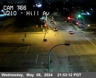 Live nowLive videoI-210 at Hill-Maple, Pasadena
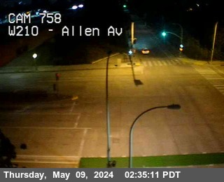 Live nowLive videoI-210 at Allen-Maple, Pasadena
 Live nowLive videoI-210 at Altadena-Maple, Pasadena
 Live nowLive videoI-210 at San Gabriel-Sierra, Pasadena
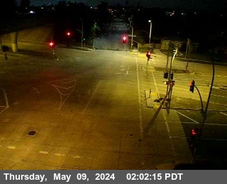 Live nowLive videoI-210 at W Maple-Sierra Madre, Pasadena
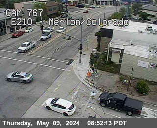 Live nowLive videoI-210 at East Colorado, Pasadena
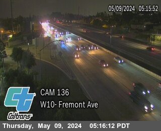 Live nowLive videoI-10 at Fremont Ave, Alhambra
 Live nowLive videoI-210 at Santa Anita Ave, Arcadia
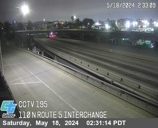 Live nowLive videoI-110 at Route 5 Interchange, Elysian Park
 Live nowLive videoI-110 at S/O Rte 5, Elysian Park
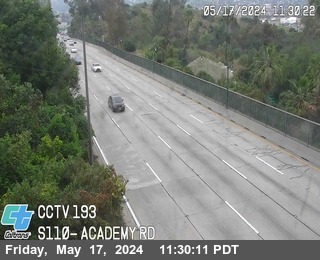 Live nowLive videoI-110 at Academy Road, Elysian Park
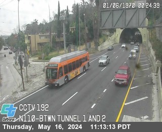 Live nowLive videoI-110 at Between Tunnel 1 and 2, Elysian Park
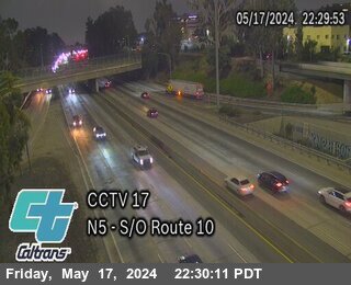 Live nowLive videoI-5 at South of I-10, Los Angeles
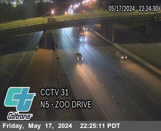 Live nowLive videoI-5 at Zoo Drive, Los Angeles
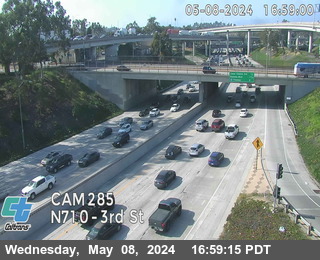 Live nowLive videoI-710 at 3rd St, Los Angeles
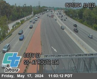 Live nowLive videoI-5 at SB Route 5 at Route 134, Los Angeles
 Live nowLive videoUS-101 at Vignes St, Los Angeles
 Live nowLive videoSR-60 at Rosemead Blvd, South El Monte
 Live nowLive videoI-5 at SB 5 to WB 10 CONN, Pico Gardens
 Live nowLive videoI-5 at Alameda St, Burbank
 WorkingStill imageI-210 at Hill-Corson, Pasadena
 WorkingStill imageI-210 at Allen-Corson, Pasadena
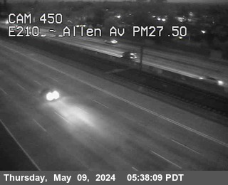 WorkingStill imageI-210 at Allen Ave On-Ramp, Pasadena
 WorkingStill imageI-210 at Sierra Madre, Pasadena
 WorkingStill imageI-110 at N San Fernando Rd, Downtown LA
 WorkingStill imageI-5 at Stadium Way, West Hollywood
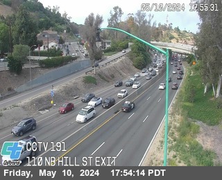 WorkingStill imageI-110 at Hill Street Exit, Elysian Park
 WorkingStill imageI-10 at Cesar Chavez, Los Angeles
 WorkingStill imageI-110 at Alpine St On-Ramp, Downtown LA
 WorkingStill imageUS-101 at First St, Los Angeles
 WorkingStill imageI-210 at Myrtle Ave, Monrovia
 WorkingStill imageUS-101 at Edgeware Rd, Los Angeles
 WorkingStill imageI-110 at S/O Route 101, Downtown LA
 WorkingStill imageI-210 at California-Central, Monrovia
 WorkingStill imageUS-101 at Whittier Blvd, Los Angeles
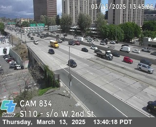 WorkingStill imageI-110 at 3th St Off-Ramp, Downtown LA
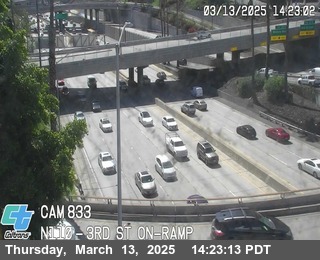 WorkingStill imageI-110 at 3th St On-Ramp, Downtown LA
 WorkingStill imageSR-60 at I-5 Interchange, Los Angeles
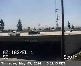 WorkingStill imageI-210 at Mountain-Central, Monrovia
 WorkingStill imageI-210 at Mountain Ave, Duarte
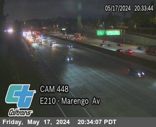 IntermittentLive videoI-210 at Marengo, Pasadena
 IntermittentLive videoI-210 at Marengo-Corson, Pasadena
 IntermittentLive videoSR-134 at Orange Grove, Old Pasadena
 IntermittentLive videoI-210 at Hill-Maple, Pasadena
 IntermittentLive videoSR-134 at San Rafael Ave, South Arroyo
 IntermittentLive videoSR-134 at Figueroa St, Eagle Rock
 IntermittentLive videoI-210 at San Gabriel-La Tierr, Pasadena
 IntermittentLive videoI-210 at Foothill Blvd, Pasadena
 IntermittentLive videoSR-134 at East of SR-2, Los Angeles
 IntermittentLive videoSR-2 at Colorado, Glendale
 IntermittentLive videoI-210 at S Baldwin Ave, Pasadena
 IntermittentLive videoI-210 at Baldwin Ave, Arcadia
 IntermittentLive videoI-210 at Baldwin Ave, Arcadia
 IntermittentLive videoI-710 at South of I-10, Monterey Park
 IntermittentLive videoI-110 at Avenue 26 Off Ramp, Cypress Park
 IntermittentLive videoI-10 at Eastern Ave, Alhambra
 IntermittentLive videoI-5 at RTE 110 Interchange, Arroyo Seco Confluence
 IntermittentLive videoI-210 at Santa Anita Ave, Arcadia
 IntermittentLive videoSR-2 at Fletcher Drive Off Ramp, LA River
 IntermittentLive videoI-210 at Santa Anita Ave, Arcadia
 IntermittentLive videoI-5 at SB RTE 110 CONNECTOR, Elysian Park
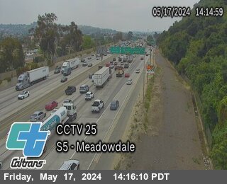 IntermittentLive videoI-5 at Meadowdale, Elysian Park
 IntermittentLive videoI-5 at Main St Off Ramp, Lincoln Heights
 IntermittentLive videoSR-134 at East of Pacific Ave, Glendale
 IntermittentLive videoI-5 at North of SR-2, Los Angeles
 IntermittentLive videoI-5 at Daly St, Lincoln Heights
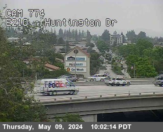 IntermittentLive videoI-210 at Huntington Ave, Monrovia
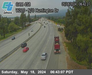 IntermittentLive videoI-210 at North of Huntington Dr, Monrovia
 IntermittentLive videoSR-134 at E/O San Fernando Rd, West Glendale
 IntermittentLive videoI-210 at Huntington Ave, Monrovia
 IntermittentLive videoI-5 at Glendale Blvd, Atwater Village
 IntermittentLive videoI-5 at N/O RTE 10, USC Health
 IntermittentLive videoI-5 at Los Feliz Blvd, Beacon Hill
 IntermittentLive videoI-5 at SO Colorado Blvd, Griffith Park
 IntermittentLive videoI-210 at Mayflower Ave, Monrovia
 IntermittentLive videoI-5 at Cesar Chavez, Boyle Heights
 IntermittentLive videoSR-134 at East of Route 5, Burbank
 IntermittentLive videoI-210 at Myrtle-Central, Monrovia
 IntermittentLive videoUS-101 at East Fourth St, Los Angeles
 IntermittentLive videoI-5 at Fourth St, Hollenbeck Park
 IntermittentLive videoI-210 at California-Evergreen, Monrovia
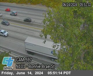 IntermittentLive videoUS-101 at Bonnie Brae St, Los Angeles
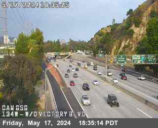 IntermittentLive videoSR-134 at West of Riverside Dr, Los Angeles
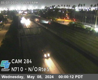 IntermittentLive videoI-710 at North of I-5, Los Angeles
 IntermittentLive videoSR-60 at West of Santa Anita, South El Monte
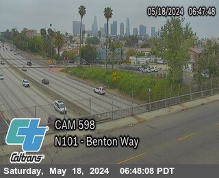 IntermittentLive videoUS-101 at Benton Way, Los Angeles
 OfflineLive videoI-10 at Garfield Ave, Alhambra
 OfflineStill imageSR-60 at Gage St, West of Downey, Los Angeles
 OfflineLive videoSR-134 at Harvey Dr, Downtown Glendale
 OfflineLive videoI-10 at West of Atlantic Blvd, Alhambra
 OfflineLive videoSR-2 at Ave 36 (West of Verdugo), Los Angeles
 OfflineLive videoI-10 at San Gabriel Blvd, Rosemead
 OfflineLive videoI-5 at Downey Rd, East Los Angeles
 OfflineLive videoI-5 at Eastern Ave (N of 710), Bandini
 OfflineLive videoI-5 at South of RTE 710, Bandini
 OfflineStill imageI-10 at New Ave, San Gabriel
 OfflineStill imageI-10 at West of Rosemead Blvd, Rosemead
 OfflineStill imageI-10 at West of Herbert Ave, Los Angeles
 OfflineStill imageI-10 at Temple City Blvd, Rosemead
 OfflineStill imageI-10 at Soto St, Los Angeles
 OfflineStill imageI-10 at West of Soto St, Los Angeles
 OfflineStill imageI-5 at Los Feliz Blvd, Griffith Park
 OfflineStill imageI-10 at West of I-5, Los Angeles
 OfflineStill imageI-10 at Santa Anita Ave, South El Monte
 OfflineStill imageSR-60 at Eastern Ave West of I-710, Los Angeles
 OfflineStill imageSR-60 at Paramount Blvd, Monterey Park
 OfflineStill imageSR-60 at East of San Gabriel Blvd, Rosemead
 OfflineStill imageSR-60 at Indiana St, Los Angeles
 OfflineStill imageI-10 at Peck Road, El Monte
 OfflineStill imageSR-60 at Euclid Ave, Los Angeles
 OfflineStill imageI-5 at Grande Vista Ave, Boyle Heights
 OfflineStill imageI-5 at Calzona St, Boyle Heights
No live video among these cameras. Turn off "Live video only" to see them all.
Best cams to watch
- I-210 at Altadena-Corson, Pasadena — Live video, working 100 % of the time in the last 30 days.
- I-210 at Sierra Madre Villa, Pasadena — Live video, working 100 % of the time in the last 30 days.
- SR-134 at Glendale Ave, Downtown Glendale — Live video, working 100 % of the time in the last 30 days.
Pasadena lies at the western end of the San Gabriel Valley, about ten miles northeast of downtown Los Angeles, where the city's streets run up against the steep face of the San Gabriel Mountains. About 139,000 people lived here at the 2020 census. It is a city of old craftsman bungalows, grand avenues and serious science: the California Institute of Technology is here, and NASA's Jet Propulsion Laboratory, the city's largest employer, sits at its northwest edge. The Arroyo Seco cuts through the west side under the arches of the Colorado Street Bridge, built in 1914, and the Rose Bowl stadium stands in the same canyon. In January 2025 the Eaton Fire swept down from the mountains and destroyed homes in Altadena and parts of Pasadena.
The cameras on this page belong to the Caltrans network and are published through its CWWP2 data feed, with still pictures refreshed every few minutes and some short video. Pasadena is a meeting point of freeways: Interstate 210, the Foothill Freeway, crosses the city from east to west, State Route 134 comes in from Glendale and joins it, and State Route 110, the historic Arroyo Seco Parkway and one of the first freeways in the country, ends near Old Pasadena. A short stub of Interstate 710 also ends here.
When to look
Pasadena uses Pacific Time. The biggest day of the year is the first of January, when the Tournament of Roses Parade rolls down Colorado Boulevard in the morning and the Rose Bowl Game follows in the afternoon; the night before, crowds camp along the route. On clear winter days after rain, snow can dust the mountains above the city. Summer brings heat and haze, and the weekday morning and evening rushes on the 210 are long.
Close by, the Huntington Library and gardens are in neighboring San Marino, and Mount Wilson, with its historic observatory, rises above the city to the north.
Sources: Pasadena, California - Wikipedia · Tournament of Roses · Arroyo Seco Parkway - Wikipedia.
Nearby places
- Los Angeles (623)
- Riverside (248)
- Orange (205)
- San Diego (202)
- Anaheim (198)
- Buena Park (197)
- Garden Grove (196)
- Santa Ana (193)
Questions about Pasadena
How many cameras does LiveLocation have in Pasadena?
LiveLocation lists 121 cameras in and around Pasadena, United States: 83 live video, 38 still images. 49 of them were live or showing a fresh image at the last check.
Where do the Pasadena cameras come from?
All of them come from Caltrans (121). Each camera plays straight from the agency or owner that runs it, with credit. Caltrans
What kinds of views are there in Pasadena?
All of them show traffic and highway (121). Good ones to start with: I-210 at Altadena-Corson, Pasadena and I-210 at Sierra Madre Villa, Pasadena. I-210 at Altadena-Corson, Pasadena I-210 at Sierra Madre Villa, Pasadena
Is there live video from Pasadena?
Yes: 83 of the 121 cameras send live video. Turn on "Live video only" above the grid to see just those. The other 38 are still images that refresh every few minutes.
When is the best time to watch the Pasadena cameras?
Pasadena is on America/Los Angeles time. On October 8 the sun rises at 6:52 AM and sets at 6:27 PM, so still images are clearest between those times. Road cameras show the most traffic in the weekday morning and evening rush hours.
Are there live cameras near Pasadena?
The nearest are South Pasadena (2.2 mi away, 30 cameras), Altadena (3.0 mi away, 22 cameras) and Alhambra (3.8 mi away, 116 cameras). South Pasadena Altadena Alhambra
Is there a map of the cameras in Pasadena?
The map at the top of this page shows all 121 of them. The live camera radar centers on Pasadena and lists every camera within 5 to 250 miles, nearest first, with filters for live video, traffic, nature and more. Open the radar on Pasadena
Place names and locations: GeoNames, licensed under CC BY 4.0.