Live cameras in Poway, United States
41 cameras: 41 live video · 22 working now · updated Oct 8, 07:04 UTC
Poway has 41 live cameras on LiveLocation right now: 41 live video. Good places to start: SR-67 NB 67 at Scripps Poway Top, Lakeside, SR-52 at Just West Of Cuyamaca Street, Santee, I-15 SB 15 at Carmel Mountain Road, San Diego. Local time is 12:04 AM (America/Los Angeles). Today the sun rises at 6:47 AM and sets at 6:23 PM.
Poway live cameras
Poway live cameras, all in one place: 41 live video. 22 were working at the last check. Poway is home to about 50,000 people.
Weather now in Poway: 77 °F (25 °C), clear sky, wind 2 mph (4 km/h) from the north. Forecast for 12 AM local time. Weather: MET Norway (CC BY 4.0)
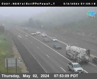 Live nowLive videoSR-67 NB 67 at Scripps Poway Top, Lakeside
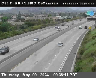 Live nowLive videoSR-52 at Just West Of Cuyamaca Street, Santee
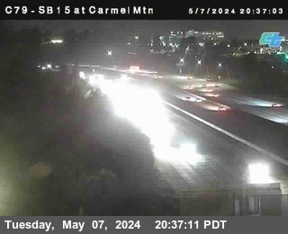 Live nowLive videoI-15 SB 15 at Carmel Mountain Road, San Diego
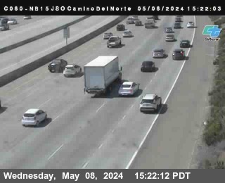 Live nowLive videoI-15 at Just South Of Camino Del Norte, San Diego
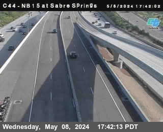 Live nowLive video(C 044) I-15 at Sabre Springs DAR, San Diego
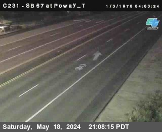 Live nowLive videoSR-67 at Poway Rd_Top, Poway
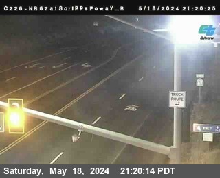 Live nowLive videoSR-67 NB 67 at Scripps Poway Bottom, Lakeside
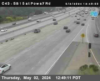 Live nowLive video(C 043) I-15 at Just South Of Poway Road, San Diego
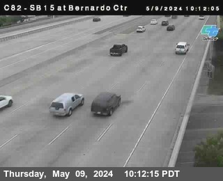 Live nowLive videoI-15 SB 15 at Bernardo Center Drive, San Diego
 Live nowLive videoSR-56 at Penasquitos Boulevard, San Diego
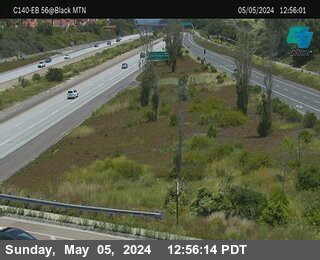 Live nowLive videoSR-56 at Black Mountain Road, San Diego
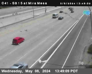 Live nowLive videoI-15 SB 15 at Mira Mesa Blvd, San Diego
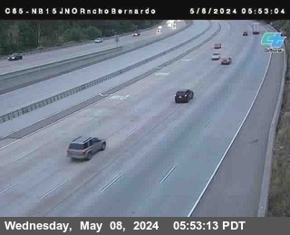 Live nowLive videoI-15 NB 15 at Just North Of Rancho Bernardo Road, San Diego
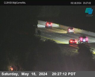 Live nowLive videoSR-56 at Carmel Mountain Road, San Diego
 Live nowLive videoI-15 at Via Rancho Parkway, Escondido
 Live nowLive videoI-15 NB 15 at Just North Of SR-163, San Diego
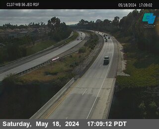 Live nowLive videoSR-56 at Just East of RSF Farms, San Diego
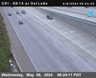 Live nowLive videoI-15 SB 15 at Del Lago, Escondido
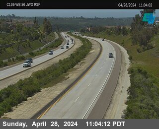 Live nowLive videoSR-56 at Just West of RSF Farms Rd, San Diego
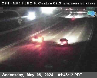 Live nowLive videoI-15 at Centre City Parkway, Escondido
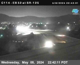 Live nowLive videoSR-52 at SR-125, Santee
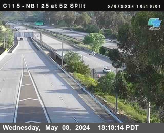 Live nowLive videoSR-125 at SR-52, Santee
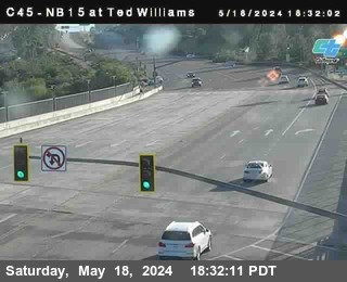 IntermittentLive videoSR-56 at Ted Williams Parkway, San Diego
 IntermittentLive videoSR-56 at Just West Of I-15, San Diego
 IntermittentLive videoI-15 at Camino Del Norte, San Diego
 IntermittentLive videoSR-67 at Poway Rd_Bottom, Poway
 IntermittentLive videoSR-67 (C 229) NB 67 at Just North of Iron Mtn_Top, Poway
 IntermittentLive videoSR-67 NB 67 at Just North of Iron Mtn_Bottom, Poway
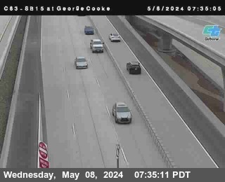 IntermittentLive videoI-15 SB 15 at George Cooke, San Diego
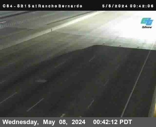 IntermittentLive videoI-15 SB 15 at Rancho Bernardo Road, San Diego
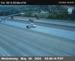 IntermittentLive videoI-15 at Just South Of Mercy Road, San Diego
 IntermittentLive videoI-15 SB 15 at Miramar Road, San Diego
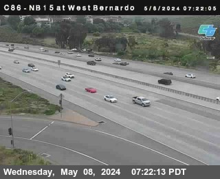 IntermittentLive video(C 086 )I-15 at West Bernardo Drive / Pomerdo, San Diego
 IntermittentLive videoSR-56 at Camino Del Sur, San Diego
 IntermittentLive videoI-15 NB 15 at Just South Of Miramar Way, San Diego
 IntermittentLive videoSR-56 at East Of Rancho Santa Fe Farms Road, San Diego
 IntermittentLive videoI-15 NB 15 at SR-163 South End HOV, San Diego
 IntermittentLive videoSR-163 NB163 at Just South Of I-15, San Diego
 IntermittentLive videoSR-52 at Just East Of SR-125, Santee
 IntermittentLive videoSR-56 at Carmel Valley Road, San Diego
 IntermittentLive video(C 065) I-15 at Just North Of SR-52, San Diego
No live video among these cameras. Turn off "Live video only" to see them all.
Best cams to watch
- SR-67 NB 67 at Scripps Poway Top, Lakeside — Live video, working 100 % of the time in the last 30 days.
- SR-52 at Just West Of Cuyamaca Street, Santee — Live video, working 100 % of the time in the last 30 days.
- I-15 SB 15 at Carmel Mountain Road, San Diego — Live video.
Poway is a city in the North County area of San Diego County, California, set in a broad inland valley east of Interstate 15 and north of the Scripps Ranch hills. Its motto, "The City in the Country," reflects a past of ranches, orchards and horse trails, and many neighborhoods still keep large lots and equestrian paths. The Kumeyaay people lived here long before Spanish settlement, and the name is thought to come from a Kumeyaay word. Cityhood came in 1980; some 48,800 people called Poway home when the 2020 count was taken. General Atomics Aeronautical Systems is the largest employer.
Outdoor life shapes the town. Lake Poway is a favorite spot for fishing and picnics, and the trail from its shore climbs Mount Woodson to Potato Chip Rock, a thin granite slab that draws long lines of hikers wanting a photo. Blue Sky Ecological Reserve and Old Poway Park, with its little heritage railroad, are close by.
Freeway views from North County
Poway's camera list is drawn from Caltrans, the state transportation department, which shares its roadside pictures with the public. Each one posts a fresh snapshot every few minutes instead of a video stream. Here they follow the freeway corridor on the western side of the city, where Interstate 15 carries heavy commuter traffic between Escondido and San Diego, along with nearby state highway approaches. State Route 67 passes east of town on its way up toward Ramona.
Poway runs on Pacific Time, switching to daylight saving time in March and back in early November. Weekday mornings bring the southbound rush on I-15, and late afternoons reverse it. The climate is warm and dry most of the year, with hot inland summer afternoons and cool, damp winter mornings; fall Santa Ana winds can raise fire danger. Summer evenings stay bright until about eight, while winter dusk comes before five.
Rancho Bernardo, part of the city of San Diego, lies just across the freeway to the west, and the historic town of Ramona is a short drive up the hill to the east.
Sources: Poway, California - Wikipedia · Caltrans QuickMap.
Nearby places
- Los Angeles (623)
- Riverside (248)
- Orange (205)
- San Diego (202)
- Anaheim (198)
- Buena Park (197)
- Garden Grove (196)
- Santa Ana (193)
Questions about Poway
How many live cameras are there in Poway?
LiveLocation lists 41 cameras in and around Poway, United States: 41 live video. 22 of them were live or showing a fresh image at the last check.
Who runs the cameras in Poway?
All of them come from Caltrans (41). Each camera plays straight from the agency or owner that runs it, with credit. Caltrans
What can I see on the Poway cameras?
All of them show traffic and highway (41). Good ones to start with: SR-67 NB 67 at Scripps Poway Top, Lakeside and SR-52 at Just West Of Cuyamaca Street, Santee. SR-67 NB 67 at Scripps Poway Top, Lakeside SR-52 at Just West Of Cuyamaca Street, Santee
Can I watch live video from Poway?
Yes: 41 of the 41 cameras send live video. Turn on "Live video only" above the grid to see just those.
What time is it in Poway, and when is it light?
Poway is on America/Los Angeles time. On October 8 the sun rises at 6:47 AM and sets at 6:23 PM, so still images are clearest between those times. Road cameras show the most traffic in the weekday morning and evening rush hours.
Which places near Poway also have cameras?
The nearest are Santee (9.3 mi away, 65 cameras), Lakeside (9.8 mi away, 17 cameras) and Winter Gardens (11 mi away, 21 cameras). Santee Lakeside Winter Gardens
How can I see the Poway cameras on a map?
The map at the top of this page shows all 41 of them. The live camera radar centers on Poway and lists every camera within 5 to 250 miles, nearest first, with filters for live video, traffic, nature and more. Open the radar on Poway
Place names and locations: GeoNames, licensed under CC BY 4.0.