Live cameras in Rancho Cucamonga, United States
96 cameras: 93 live video, 3 still images · 54 working now · updated Oct 8, 04:18 UTC
Rancho Cucamonga has 96 live cameras on LiveLocation right now: 93 live video, 3 still images. Good places to start: I-10 at w/o Archibald Ave., Ontario, I-15 at Foothill Blvd., Rancho Cucamonga, I-10 at I-15 SW Quad, Ontario. Local time is 9:18 PM (America/Los Angeles). Today the sun rises at 6:49 AM and sets at 6:26 PM.
Rancho Cucamonga live cameras
Rancho Cucamonga live cameras, all in one place: 93 live video, 3 still images. 54 were working at the last check. Rancho Cucamonga is home to about 175,000 people.
Weather now in Rancho Cucamonga: 84 °F (29 °C), clear sky, wind 4 mph (6 km/h) from the southwest. Forecast for 9 PM local time. Weather: MET Norway (CC BY 4.0)
 Live nowLive videoI-10 at w/o Archibald Ave., Ontario
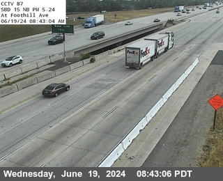 Live nowLive videoI-15 at Foothill Blvd., Rancho Cucamonga
 Live nowLive videoI-10 at I-15 SW Quad, Ontario
 Live nowLive videoI-210 at 0.9 Miles East of Mountain, Upland
 Live nowLive videoSR-60 at Milliken, Mira Loma
 Live nowLive videoSR-60 at Euclid Avenue, Ontario
 Live nowLive videoI-15 at N/O 15-210 IC, Fontana
 Live nowLive videoSR-60 at Etiwanda, Mira Loma
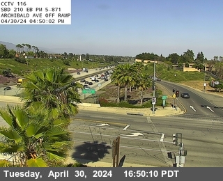 Live nowLive videoI-210 at Archibald, Rancho Cucamonga
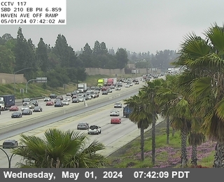 Live nowLive videoI-210 at Haven, Rancho Cucamonga
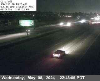 Live nowLive videoI-210 at 0.5 Miles West of Milliken, Rancho Cucamonga
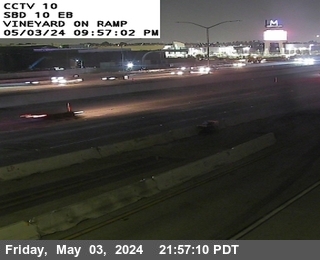 Live nowLive videoI-10 at East of Vineyard, Ontario
 Live nowLive videoI-10 at E/O Sixth Street, Ontario
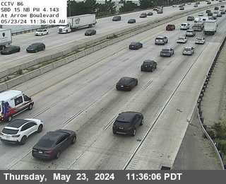 Live nowLive videoI-15 at Arrow Route, Rancho Cucamonga
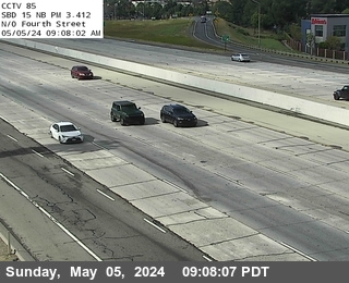 Live nowLive videoI-15 at N of Fourth Street, Rancho Cucamonga
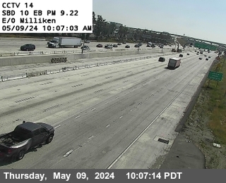 Live nowLive videoI-10 at East of Milliken, Ontario
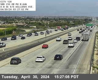 Live nowLive videoI-210 at 0.8 Miles East of Milliken, Rancho Cucamonga
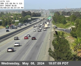 Live nowLive videoI-210 at Day Creek, Rancho Cucamonga
 Live nowLive videoI-15 at 0.5 Miles S of Baseline, Rancho Cucamonga
 Live nowLive videoI-10 at West Side Etiwanda, Ontario
 Live nowLive videoI-210 at 0.3 Miles West of I-15, Rancho Cucamonga
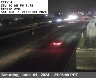 Live nowLive videoI-10 at Benson Avenue, Montclair
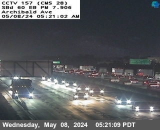 Live nowLive videoSR-60 at Archibald Avenue, Ontario
 Live nowLive videoSR-60 at West of Archibald Avenue (Cucamonga Creek), Ontario
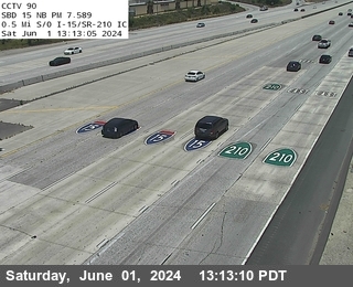 Live nowLive videoI-15 at 0.5 Miles S of I-210, Fontana
 Live nowLive videoI-210 at 0.2 Miles East of I-15, Rancho Cucamonga
 Live nowLive videoSR-60 at East of Haven Avenue, Ontario
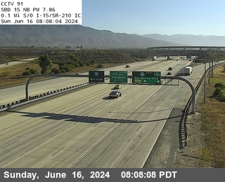 Live nowLive videoI-15 at 0.1 Miles S of I-210, Fontana
 Live nowLive videoSR-60 at Grove Avenue, Ontario
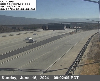 Live nowLive videoI-15 at S/O 15-210 IC, Fontana
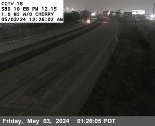 Live nowLive videoI-10 at 1.0 Miles West of Cherry, Fontana
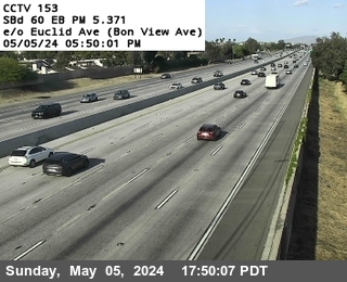 Live nowLive videoSR-60 at East of Euclid Avemue (Bon View Avenue), Ontario
 Live nowLive videoI-15 at SR-60 NW Quad, Mira Loma
 Live nowLive videoSR-60 at East of Milliken, Mira Loma
 Live nowLive videoI-210 at Cherry Avenue, Rancho Cucamonga
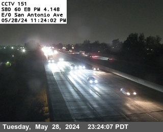 Live nowLive videoSR-60 at East of San Antonio, Chino
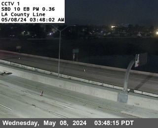 Live nowLive videoI-10 at LA County Line, Montclair
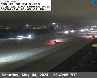 Live nowLive videoI-15 at .25mi South Of Summit, Fontana
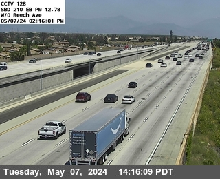 Live nowLive videoI-210 at West of Beech, Fontana
 Live nowLive videoI-15 at N of Cantu Galleano, Mira Loma
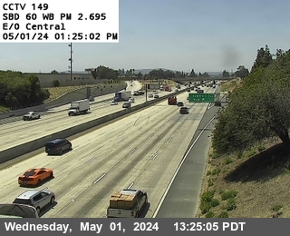 Live nowLive videoSR-60 at East of Central, Chino
 Live nowLive videoI-15 at North Of Summit, Fontana
 Live nowLive videoI-210 at Knox Ave, Fontana
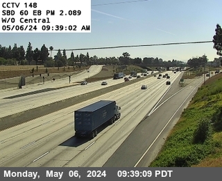 Live nowLive videoSR-60 at West of Central, Chino
 Live nowLive videoSR-60 at Country Village Road, Riverside
 Live nowLive videoSR-60 at Ramona Avenue, Chino
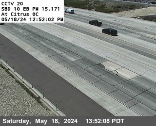 Live nowLive videoI-10 at West Side Citrus Overcross, Fontana
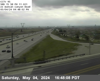 Live nowLive videoI-15 at Duncan Canyon, Fontana
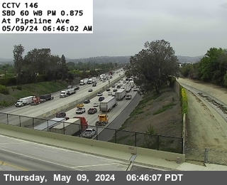 Live nowLive videoSR-60 at Pipeline Avenue, Chino
 Live nowLive videoSR-60 at Onramp Pedley Street, Riverside
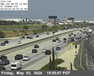 Live nowLive videoI-210 at Sierra, Fontana
 WorkingStill imageI-10 I, 10 at Haven Ave., Ontario
 WorkingStill imageI-10 Campus Ave., Ontario
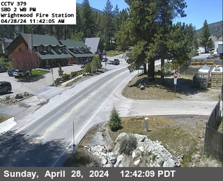 WorkingStill imageSR-2 at Wrightwood Fire Station, Wrightwood
 IntermittentLive videoI-210 at East Of Carnelian, Rancho Cucamonga
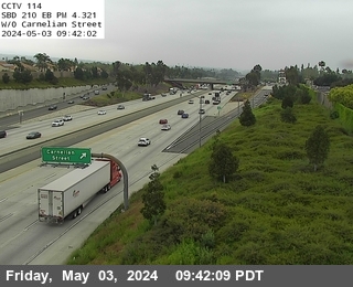 IntermittentLive videoI-210 at West of Carnelian, Rancho Cucamonga
 IntermittentLive videoI-10 at 4th Street, Ontario
 IntermittentLive videoI-10 at West of Haven, Ontario
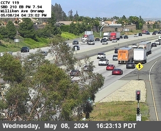 IntermittentLive videoI-210 at Milliken Avenue, Rancho Cucamonga
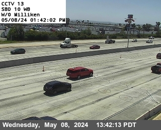 IntermittentLive videoI-10 at West of Milliken, Ontario
 IntermittentLive videoI-210 at Campus, Upland
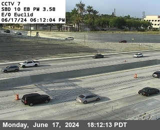 IntermittentLive videoI-10 at East of Euclid, Ontario
 IntermittentLive videoI-15 at N of Ontario Mills Pkwy, Ontario
 IntermittentLive videoI-10 at West of Euclid, Ontario
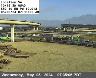 IntermittentLive videoI-10 at I-15 E-N Connector, Ontario
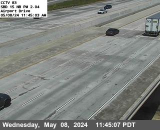 IntermittentLive videoI-15 at Airport Drive, Ontario
 IntermittentLive videoI-210 at 0.4 Miles East of Mountain, Upland
 IntermittentLive videoI-210 at East of Day Creek, Rancho Cucamonga
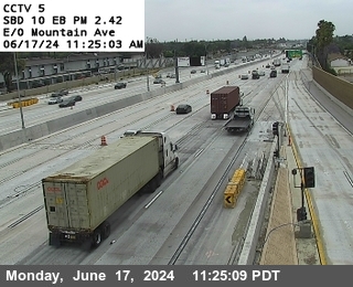 IntermittentLive videoI-10 at East of Mountain Avenue, Ontario
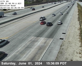 IntermittentLive videoI-15 at Baseline Road, Fontana
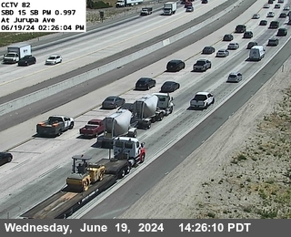 IntermittentLive videoI-15 at Jurupa Street, Ontario
 IntermittentLive videoI-210 at Mountain Avenue, Upland
 IntermittentLive videoSR-60 at West of Haven Avenue, Ontario
 IntermittentLive videoI-210 at 0.8 Miles East of County Line, Upland
 IntermittentLive videoSR-60 at West of Vineyard (Walker Avenue), Ontario
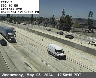 IntermittentLive videoI-10 at Central, Montclair
 IntermittentLive videoI-210 at 0.1 Miles East of County Line, Upland
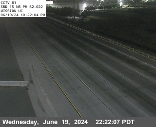 IntermittentLive videoI-15 at Mission Blvd. UC, Mira Loma
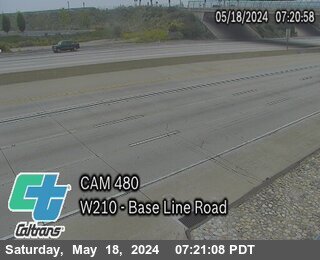 IntermittentLive videoI-210 at Base Line Road, Claremont
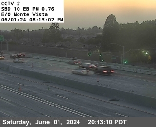 IntermittentLive videoI-10 at East of Monte Vista, Montclair
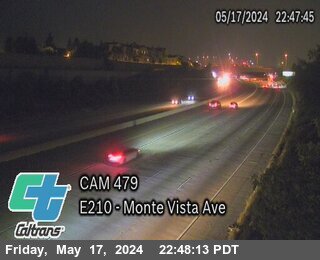 IntermittentLive videoI-210 at West of Monte Vista Ave, Claremont
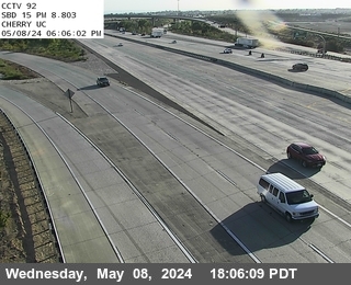 IntermittentLive videoI-15 at Cherry Undercross, Fontana
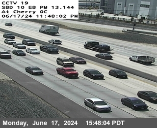 IntermittentLive videoI-10 at West Side Cherry Overcross, Fontana
 IntermittentLive videoI-210 at 210 Offramp onto 15 Onramp, Fontana
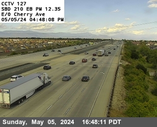 IntermittentLive videoI-210 at East of Cherry Avenue, Fontana
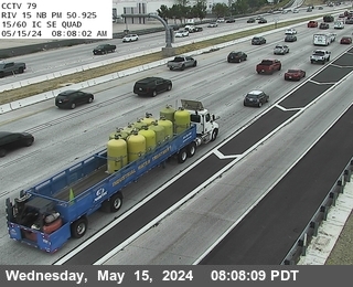 IntermittentLive videoI-15 at SR-60 SE Quad, Mira Loma
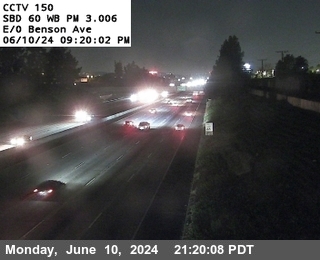 IntermittentLive videoSR-60 at East of Benson Avenue, Chino
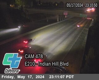 IntermittentLive videoI-210 at Indian Hill Blvd, Claremont
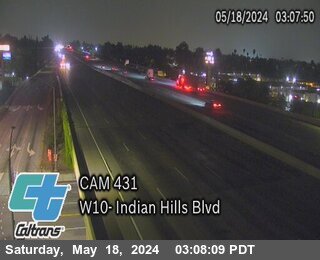 IntermittentLive videoI-10 at Indian Hill Blvd, Claremont
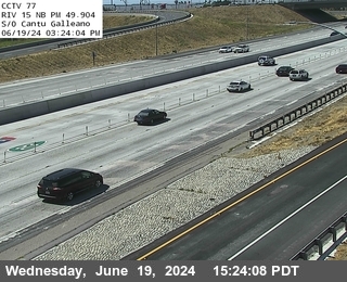 IntermittentLive videoI-15 at S of Cantu Galleano, Mira Loma
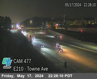 IntermittentLive videoI-210 at Town Ave, Claremont
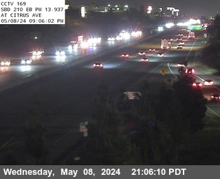 IntermittentLive videoI-210 at Citrus, Fontana
 IntermittentLive videoSR-60 at Pedley WB Onramp, Jurupa Valley
 IntermittentLive videoSR-60 at Offramp Pedley Street, Riverside
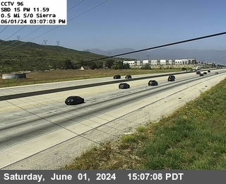 IntermittentLive videoI-15 at 0.5 Miles S of Sierra, Fontana
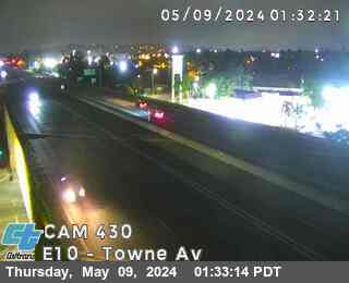 OfflineLive videoI-10 at Towne Ave, Pomona
No live video among these cameras. Turn off "Live video only" to see them all.
Best cams to watch
- I-10 at w/o Archibald Ave., Ontario — Live video, working 100 % of the time in the last 30 days.
- I-15 at Foothill Blvd., Rancho Cucamonga — Live video, working 100 % of the time in the last 30 days.
- I-10 at I-15 SW Quad, Ontario — Live video, working 100 % of the time in the last 30 days.
Rancho Cucamonga is a city in western San Bernardino County, California, about forty miles east of downtown Los Angeles. It sits on a gently sloping plain at the foot of the San Gabriel Mountains, and on clear winter days the snowy peak of Mount San Antonio, better known as Mount Baldy, rises above it. The city was formed in 1977 by joining the communities of Alta Loma, Cucamonga and Etiwanda. About 175,000 people live here, according to the 2020 census.
The area was once famous for vineyards, and the Cucamonga Valley was among the oldest wine districts in California. A few historic wineries and the old Route 66 roadside landmarks along Foothill Boulevard recall that past, while the Victoria Gardens outdoor shopping center and the Quakes minor league ballpark are the modern gathering places.
Foothill Freeway and I-15 views
These are Caltrans views from the state's CWWP2 camera feed, shown as still frames that update every few minutes. State Route 210, the Foothill Freeway, crosses the city from west to east, and Interstate 15 runs along its eastern side on the way up the Cajon Pass toward Las Vegas. Freeway cameras here are useful for gauging Inland Empire commute traffic and for watching weekend travelers heading to the desert.
Image timestamps follow Pacific Time, three hours behind the East Coast. Summers are hot and dry, and in fall and winter the Santa Ana winds can whip down from the passes, sometimes bringing dust, high-wind warnings for trucks and wildfire smoke. Winter storms can dust the foothills with snow, which makes for striking backdrops. In June the sun sets around eight, and in December just before five.
Neighboring Upland and Ontario lie to the west and south, with Ontario International Airport a short drive away, and the road up to the Mount Baldy ski area begins just to the northwest.
Sources: Rancho Cucamonga, California - Wikipedia · California State Route 210 - Wikipedia · Caltrans QuickMap.
Nearby places
- Los Angeles (623)
- Riverside (248)
- Orange (205)
- San Diego (202)
- Anaheim (198)
- Buena Park (197)
- Garden Grove (196)
- Santa Ana (193)
Questions about Rancho Cucamonga
How many live cameras are there in Rancho Cucamonga?
LiveLocation lists 96 cameras in and around Rancho Cucamonga, United States: 93 live video, 3 still images. 54 of them were live or showing a fresh image at the last check.
Who runs the cameras in Rancho Cucamonga?
All of them come from Caltrans (96). Each camera plays straight from the agency or owner that runs it, with credit. Caltrans
What can I see on the Rancho Cucamonga cameras?
All of them show traffic and highway (96). Good ones to start with: I-10 at w/o Archibald Ave., Ontario and I-15 at Foothill Blvd., Rancho Cucamonga. I-10 at w/o Archibald Ave., Ontario I-15 at Foothill Blvd., Rancho Cucamonga
Can I watch live video from Rancho Cucamonga?
Yes: 93 of the 96 cameras send live video. Turn on "Live video only" above the grid to see just those. The other 3 are still images that refresh every few minutes.
What time is it in Rancho Cucamonga, and when is it light?
Rancho Cucamonga is on America/Los Angeles time. On October 7 the sun rises at 6:49 AM and sets at 6:26 PM, so still images are clearest between those times. Road cameras show the most traffic in the weekday morning and evening rush hours.
Which places near Rancho Cucamonga also have cameras?
The nearest are Upland (3.2 mi away, 91 cameras), Ontario (4.4 mi away, 96 cameras) and Montclair (5.9 mi away, 31 cameras). Upland Ontario Montclair
How can I see the Rancho Cucamonga cameras on a map?
The map at the top of this page shows all 96 of them. The live camera radar centers on Rancho Cucamonga and lists every camera within 5 to 250 miles, nearest first, with filters for live video, traffic, nature and more. Open the radar on Rancho Cucamonga
Place names and locations: GeoNames, licensed under CC BY 4.0.