Live cameras in Westminster, United States
178 cameras: 96 live video, 82 still images · 137 working now · updated Oct 8, 03:32 UTC
Westminster has 178 live cameras on LiveLocation right now: 96 live video, 82 still images. Good places to start: SR-22 at South of 405, Seal Beach, I-405 at North of I-605, Los Alamitos, SR-57 at Lincoln, Anaheim. Local time is 8:32 PM (America/Los Angeles). Today the sun rises at 6:51 AM and sets at 6:28 PM.
Westminster live cameras
Watch Westminster live webcams: 96 live video, 82 still images. 137 were working at the last check. Westminster is home to about 92,000 people.
 Live nowLive videoSR-22 at South of 405, Seal Beach
 Live nowLive videoI-405 at North of I-605, Los Alamitos
 Live nowLive videoSR-57 at Lincoln, Anaheim
 Live nowLive videoI-405 at South of Edwards, Westminster
 Live nowLive videoI-405 at North of Edwards, Westminster
 Live nowLive videoI-405 at Westminster, Westminster
 Live nowLive videoI-405 at Goldenwest Avenue, Westminster
 Live nowLive videoSR-22 at Westbound Knott Avenue, Garden Grove
 Live nowLive videoSR-22 at Beach Boulevard, Garden Grove
 Live nowLive videoSR-22 at Los Alisos Street, Westminster
 Live nowLive videoI-405 at South of Bolsa Chica, Westminster
 Live nowLive videoI-405 at Beach Blvd, Westminster
 Live nowLive videoSR-22 at East of Magnolia Street, Garden Grove
 Live nowLive videoI-405 at North of RTE 22, Seal Beach
 Live nowLive videoSR-22 at EB 22 at Brookhurst, Garden Grove
 Live nowLive videoI-405 at North of SR-22, Seal Beach
 Live nowLive videoI-405 at South of Magnolia, Fountain Valley
 Live nowLive videoI-405 at Seal Beach Boulevard, Seal Beach
 Live nowLive videoI-405 at Brookhurst, Fountain Valley
 Live nowLive videoI-405 I_405 at SO I-605, Seal Beach
 Live nowLive videoSR-22 at Harbor Boulevard, Garden Grove
 Live nowLive videoI-405 at Ward, Fountain Valley
 Live nowLive videoI-405 at I-605, Long Beach
 Live nowLive videoI-405 at North of Euclid Street, Fountain Valley
 Live nowLive videoI-5 at Crescent, Anaheim
 Live nowLive videoI-5 at NB Harbor, Anaheim
 Live nowLive videoI-5 at Brookhurst On Ramp, Anaheim
 Live nowLive videoI-5 at Lincoln Avenue, Anaheim
 Live nowLive videoI-5 at Gilbert Street, Anaheim
 Live nowLive videoSR-91 at Beach Boulevard, Buena Park
 Live nowLive videoI-5 at Katella & Anaheim Way, Anaheim
 Live nowLive videoSR-91 at Valley View, Buena Park
 Live nowLive videoSR-22 at City Drive, Orange
 Live nowLive videoI-405 at Harbor Off Ramp, Costa Mesa
 Live nowLive videoSR-91 at Magnolia, Fullerton
 Live nowLive videoI-5 at North of Orangethorpe Boulevard, Buena Park
 Live nowLive videoI-5 at NB I-5 JSO SR-57/SR-22, Orange
 Live nowLive videoSR-91 at Brookhurst St, Anaheim
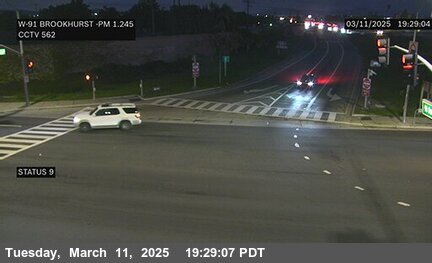 Live nowLive videoSR-91 at Brookhurst St, Anaheim
 Live nowLive videoSR-57 at SR-22, Orange
 Live nowLive videoSR-57 at Chapman, Orange
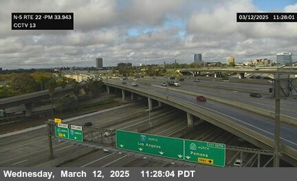 Live nowLive videoI-5 at SR-22, Santa Ana
 Live nowLive videoSR-57 at Orangewood Avenue Onramp, Orange
 Live nowLive videoI-5 at South of Artesia Boulevard, Buena Park
 Live nowLive videoI-405 at SR-73, Costa Mesa
 Live nowLive videoI-5 at Broadway, Santa Ana
 Live nowLive videoSR-91 at Harbor Boulevard, Anaheim
 Live nowLive videoI-5 at 17th Street (7th), Santa Ana
 Live nowLive videoSR-91 at Lemon Street, Anaheim
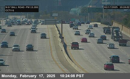 Live nowLive videoSR-57 at Ball Road, Anaheim
 Live nowLive videoI-405 at Bristol, Costa Mesa
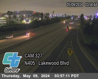 Live nowLive videoI-405 at Lakewood Blvd, Long Beach
 Live nowLive videoI-5 at Grand Avenue, Santa Ana
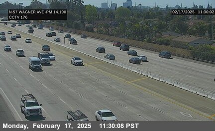 Live nowLive videoSR-57 at North of Wagner Avenue, Anaheim
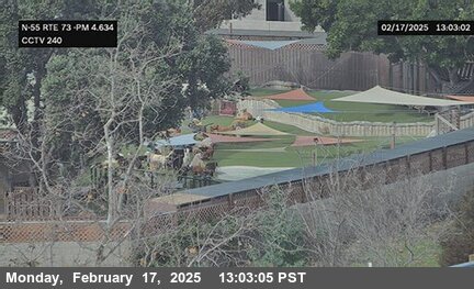 Live nowLive videoSR-55 at SR-73, Costa Mesa
 Live nowLive videoSR-55 at Del Mar Avenue, Costa Mesa
 Live nowLive videoSR-55 at North of Baker Street, Costa Mesa
 Live nowLive videoSR-55 at I-405 A, Costa Mesa
 Live nowLive videoSR-55 at I-405 B, Costa Mesa
 WorkingStill imageI-5 at Lincoln & Wilshire, Anaheim
 WorkingStill imageI-5 at Magnolia Avenue, Anaheim
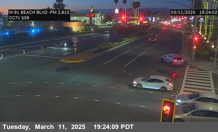 WorkingStill imageSR-39 SR-91 at Beach Blvd, Buena Park
 WorkingStill imageSR-22 at Eastbound Knott Avenue, Westminster
 WorkingStill imageSR-22 at EB SR-22 at Knott, Westminster
 WorkingStill imageSR-22 at WB SR-22 at Garden Grove/Knott, Garden Grove
 WorkingStill imageSR-39 at Beach Blvd @ 22 W/B On-Off Ramps, Garden Grove
 WorkingStill imageSR-22 at WB SR-22 at Beach, Garden Grove
 WorkingStill imageSR-22 at West of Magnolia Street, Garden Grove
 WorkingStill imageSR-22 at Valley View Avenue, Westminster
 WorkingStill imageI-405 at South of SR-22, Westminster
 WorkingStill imageSR-22 at Brookhurst Street, Garden Grove
 WorkingStill imageSR-22 at Euclid Street, Garden Grove
 WorkingStill imageI-5 at SB Disneyland Off Ramp, Anaheim
 WorkingStill imageI-5 at SB Harbor, Anaheim
 WorkingStill imageI-5 at Euclid Avenue, Anaheim
 WorkingStill imageI-5 at SB Lincoln Ave, Anaheim
 WorkingStill imageI-5 at Disney Way, Anaheim
 WorkingStill imageI-5 at Harbor Boulevard, Anaheim
 WorkingStill imageI-5 at Ball, Anaheim
 WorkingStill imageI-5 at Lincoln & Manchester, Anaheim
 WorkingStill imageI-5 at Brookhurst Street, Anaheim
 WorkingStill imageI-5 at Anaheim & Manchester, Anaheim
 WorkingStill imageI-5 at Anaheim Boulevard, Anaheim
 WorkingStill imageI-5 at N/O Lincoln, Anaheim
 WorkingStill imageI-5 at Katella & Manchester, Anaheim
 WorkingStill imageSR-39 SR-91 at Beach Blvd, Buena Park
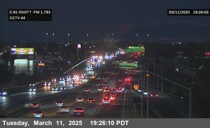 WorkingStill imageSR-91 at Knott, Buena Park
 WorkingStill imageI-5 at Katella Avenue, Anaheim
 WorkingStill imageI-5 at Magnolia, Anaheim
 WorkingStill imageI-5 at Gene Autry, Anaheim
 WorkingStill imageI-5 at Magnolia & Buckingham, Anaheim
 WorkingStill imageSR-91 at E-91 Valley View, Buena Park
 WorkingStill imageSR-91 at Gilbert Street, Fullerton
 WorkingStill imageI-5 at State College & City Drive, Orange
 WorkingStill imageSR-91 at Magnolia St, Fullerton
 WorkingStill imageSR-91 at Brookhurst Street, Anaheim
 WorkingStill imageI-5 at NB at Orangethorpe, Buena Park
 WorkingStill imageI-5 at State College & Anaheim, Orange
 WorkingStill imageI-5 at State College Boulevard, Orange
 WorkingStill imageI-5 at Chapman ramp, Orange
 WorkingStill imageSR-91 at Brookhurst, Anaheim
 WorkingStill imageI-5 at State College & Orange Center, Orange
 WorkingStill imageI-5 at Chapman & Rampart, Orange
 WorkingStill imageI-5 at Chapman Ave, Orange
 WorkingStill imageI-5 at Manchester Avenue (South of Stanton), Buena Park
 WorkingStill imageI-5 at Auto Center, Buena Park
 WorkingStill imageI-5 at SR-11, Santa Ana
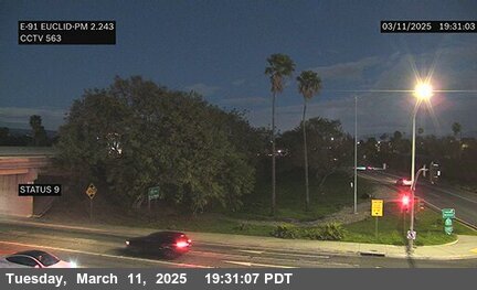 WorkingStill imageSR-91 at Euclid St, Anaheim
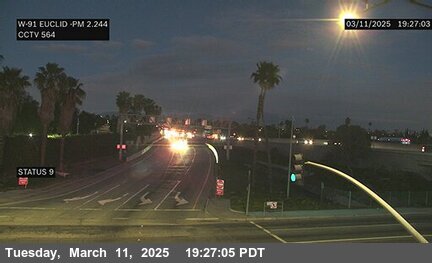 WorkingStill imageSR-91 at Euclid St, Anaheim
 WorkingStill imageSR-57 at Chapman, Orange
 WorkingStill imageI-5 at La Veta, Santa Ana
 WorkingStill imageSR-57 at Chapman Avenue (Orange), Orange
 WorkingStill imageSR-57 at Chapman (Orange), Orange
 WorkingStill imageSR-57 at Orangewood, Orange
 WorkingStill imageSR-57 at Orangewood, Orange
 WorkingStill imageI-5 at SB I-5 at Artesia, Buena Park
 WorkingStill imageSR-57 at Katella, Anaheim
 WorkingStill imageSR-57 at Katella, Anaheim
 WorkingStill imageSR-57 at Katella, Anaheim
 WorkingStill imageI-5 at SB Main & Buffalo, Santa Ana
 WorkingStill imageI-5 at Main & Santa Carla, Santa Ana
 WorkingStill imageI-5 at Main & Edgewood, Santa Ana
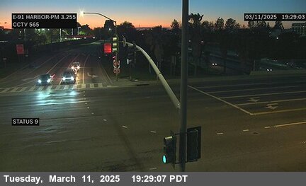 WorkingStill imageSR-91 at Harbor Blvd, Anaheim
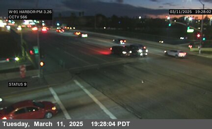 WorkingStill imageSR-91 at Harbor Blvd, Anaheim
 WorkingStill imageSR-91 at Lemon St, Anaheim
 WorkingStill imageSR-91 at Lemon St, Anaheim
 WorkingStill imageSR-22 at Main Street, Orange
 WorkingStill imageSR-57 at Ball, Anaheim
 WorkingStill imageSR-57 at Ball, Anaheim
 WorkingStill imageSR-91 at East St, Anaheim
 WorkingStill imageSR-91 at Raymond Ave, Anaheim
 WorkingStill imageSR-57 at S/O Wagner, Anaheim
 WorkingStill imageSR-57 at S/O Lincoln, Anaheim
 WorkingStill imageSR-57 at Lincoln, Anaheim
 WorkingStill imageSR-57 at Lincoln, Anaheim
 WorkingStill imageSR-57 at NB SR-57 at Lincoln, Anaheim
 WorkingStill imageSR-57 at 57 SB LINCOLN 2, Anaheim
 IntermittentLive videoI-405 at South of Newland Street, Westminster
 IntermittentLive videoI-405 at South of Warner Avenue, Fountain Valley
 IntermittentLive videoI-605 at S/O Katella Avenue, Los Alamitos
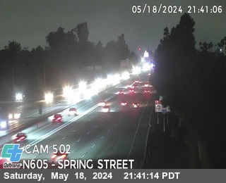 IntermittentLive videoI-605 at Spring St, Long Beach
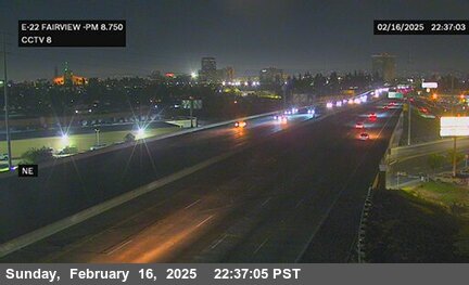 IntermittentLive videoSR-22 at Fairview, Garden Grove
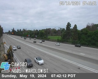 IntermittentLive videoI-605 at Wardlow St, Long Beach
 IntermittentLive videoI-405 at Palo Verde Ave, Long Beach
 IntermittentLive videoI-5 at Euclid, Anaheim
 IntermittentLive videoI-5 at Disneyland Dr., Anaheim
 IntermittentLive videoI-605 at Carson St Off-Ramp, Long Beach
 IntermittentLive videoI-405 at Harbor, Costa Mesa
 IntermittentLive videoSR-91 at Stanton Avenue, Buena Park
 IntermittentLive videoI-5 at Orangewood Avenue, Orange
 IntermittentLive videoI-5 at North of Magnolia Avenue (South Of SR-91), Anaheim
 IntermittentLive videoSR-91 at Magnolia / Buckingham, Anaheim
 IntermittentLive videoI-5 at SB I-5 JSO SR-57/SR-22, Orange
 IntermittentLive videoI-5 at SB at Beach, Buena Park
 IntermittentLive videoI-405 at Fairview, Costa Mesa
 IntermittentLive videoI-5 at North of Beach Boulevard, Buena Park
 IntermittentLive videoI-405 at Bellflower Blvd, Long Beach
 IntermittentLive videoSR-91 at Euclid Avenue, Anaheim
 IntermittentLive videoSR-22 at East of I-5, Orange
 IntermittentLive videoI-605 at Del Amo Blvd On-Ramp, Lakewood
 IntermittentLive videoSR-57 at Katella Avenue, Anaheim
 IntermittentLive videoSR-73 at Bear Street, Costa Mesa
 IntermittentLive videoI-605 at South St On-Ramp, Cerritos
 IntermittentLive videoI-5 at North of Valley Blvd, La Mirada
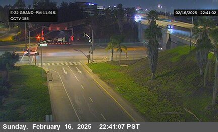 IntermittentLive videoSR-22 at Grand Street, Santa Ana
 IntermittentLive videoI-5 at North of Coyote Creek Brge, Santa Fe Springs
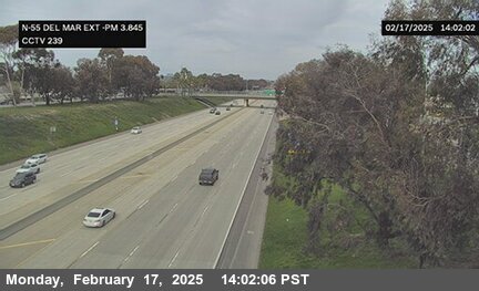 IntermittentLive videoSR-55 at Del Mar Avenue Exit, Costa Mesa
 IntermittentLive videoSR-55 at Wilson Street, Costa Mesa
 OfflineLive videoSR-91 at EB SR-91 at EAST st, Anaheim
 OfflineLive videoI-5 at Anaheim & Anaheim Way, Anaheim
 OfflineLive videoSR-91 at Carmenita Ave, Cerritos
 OfflineLive videoSR-91 at Artesia Blvd, Cerritos
 OfflineLive videoSR-91 at East Street, Anaheim
 OfflineLive videoSR-91 at State College Blvd, Anaheim
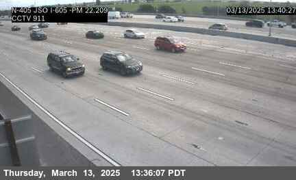 OfflineStill imageI-405 at NB JSO I-605, Seal Beach
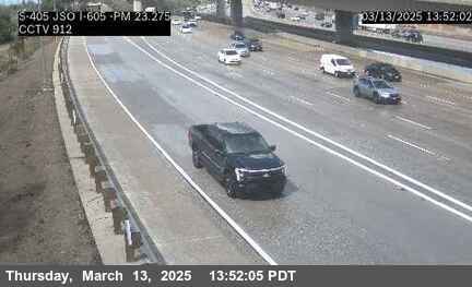 OfflineStill imageI-405 at SB JSO I-605, Seal Beach
 OfflineStill imageI-605 at N/O Katella, Los Alamitos
 OfflineStill imageI-5 at Artesia, Buena Park
No live video among these cameras. Turn off "Live video only" to see them all.
Best cams to watch
- SR-22 at South of 405, Seal Beach — Live video, working 100 % of the time in the last 30 days.
- I-405 at North of I-605, Los Alamitos — Live video, working 100 % of the time in the last 30 days.
- SR-57 at Lincoln, Anaheim — Live video, working 100 % of the time in the last 30 days.
Westminster is a city in western Orange County, California, bordered by Garden Grove to the north and east, Seal Beach to the west, and Huntington Beach and Fountain Valley to the south. It was founded in 1870 by the Reverend Lemuel Webber as a Presbyterian temperance colony and incorporated in 1957. The 2020 census counted about 91,000 residents, and Vietnamese Americans make up a large share of them.
The city is the heart of Little Saigon, the largest Vietnamese community outside Vietnam, which grew after refugees arrived in the late 1970s. Bolsa Avenue is its main street, lined with restaurants, bakeries and jewelry shops, and the Asian Garden Mall is its best-known landmark. Each winter the Lunar New Year, known as Tết, brings a parade and festivals to the neighborhood. Westminster also has a place in civil rights history: the 1947 case Mendez v. Westminster ended the segregation of Mexican American children in California schools, years before Brown v. Board of Education.
The 405 and Beach Boulevard
The cameras attached to Westminster come from Caltrans and show still images that refresh every few minutes. Interstate 405, the San Diego Freeway, crosses the city and is one of the most heavily traveled freeways in the country, and State Route 22, the Garden Grove Freeway, runs along the north side toward Orange. Beach Boulevard, State Route 39, carries north-south traffic between the beach and the inland cities. Weekday rush hours, especially on the 405, show up clearly on these views.
Westminster is on Pacific Time and changes clocks in March and early November. The weather is mild most of the year, with a marine layer that often keeps summer mornings gray until midday. Summer sunsets are around eight, winter ones just before five, and the Tết celebrations usually fall in late January or February.
The Bolsa Chica Ecological Reserve, a coastal wetland full of shorebirds, lies just south toward Huntington Beach, and the pier and old town of Seal Beach are a short drive west.
Sources: Westminster, California - Wikipedia · Caltrans QuickMap.
Nearby places
- Los Angeles (623)
- Riverside (248)
- Orange (205)
- San Diego (202)
- Anaheim (198)
- Buena Park (197)
- Garden Grove (196)
- Santa Ana (193)
Questions about Westminster
How many webcams can I watch in Westminster?
LiveLocation lists 178 cameras in and around Westminster, United States: 96 live video, 82 still images. 137 of them were live or showing a fresh image at the last check.
Who runs the cameras in Westminster?
All of them come from Caltrans (178). Each camera plays straight from the agency or owner that runs it, with credit. Caltrans
What can I see on the Westminster cameras?
All of them show traffic and highway (178). Good ones to start with: SR-22 at South of 405, Seal Beach and I-405 at North of I-605, Los Alamitos. SR-22 at South of 405, Seal Beach I-405 at North of I-605, Los Alamitos
Can I watch live video from Westminster?
Yes: 96 of the 178 cameras send live video. Turn on "Live video only" above the grid to see just those. The other 82 are still images that refresh every few minutes.
What time is it in Westminster, and when is it light?
Westminster is on America/Los Angeles time. On October 7 the sun rises at 6:51 AM and sets at 6:28 PM, so still images are clearest between those times. Road cameras show the most traffic in the weekday morning and evening rush hours.
Which places near Westminster also have cameras?
The nearest are Stanton (3.1 mi away, 73 cameras), Garden Grove (3.9 mi away, 196 cameras) and Cypress (4.4 mi away, 56 cameras). Stanton Garden Grove Cypress
How can I see the Westminster cameras on a map?
The map at the top of this page shows all 178 of them. The live camera radar centers on Westminster and lists every camera within 5 to 250 miles, nearest first, with filters for live video, traffic, nature and more. Open the radar on Westminster
Place names and locations: GeoNames, licensed under CC BY 4.0.