Ramsey Harbour, Isle of Man webcam
Working, checked 33 min ago Still image · every 5 min Harbor and marina · Official source · What camera types mean

What you are looking at
The Isle of Man Government publishes this webcam over Ramsey Harbour, in the island's second-largest town, in the north-east. The camera looks along the quayside where fishing boats are tied up, with a row of tall harborfront houses on one side and the harbor's swing bridge crossing the water in the distance.
Ramsey's harbor dries at low tide, so the scene changes a great deal through the day: boats afloat at high water, then sitting on the mud as the tide drains away. You may see fishing boats coming in, people and cars along the quay, and the swing bridge, opened in the 1890s, that links the two sides of the harbor. Ramsey is also the northern end of the Manx Electric Railway and sits on the TT course. The east-facing coast gives calm sunrises on clear mornings.
The picture is a still image that refreshes about every five minutes, with the local time printed in the corner. A practical tip: compare the view at high and low tide to see how much of the harbor floor is exposed, which is a big part of the character of this working harbor.
Camera details
- Camera ID
- ramsey
- Operator
- Isle of Man Government
- Image updates
- Every 5 min
- Video format
- Still image (JPEG)
- Position
- Exact (from the provider)
- Licence
- Isle of Man Open Government Licence
- Data source
- Isle of Man Government webcams
- Last checked
- 01:15 UTC (33 min ago)
- Working, last 7 days
- Not enough checks yet
From the provider's own camera list and our automatic checks. Readings and details can change without notice.
On the map
Nearby live views
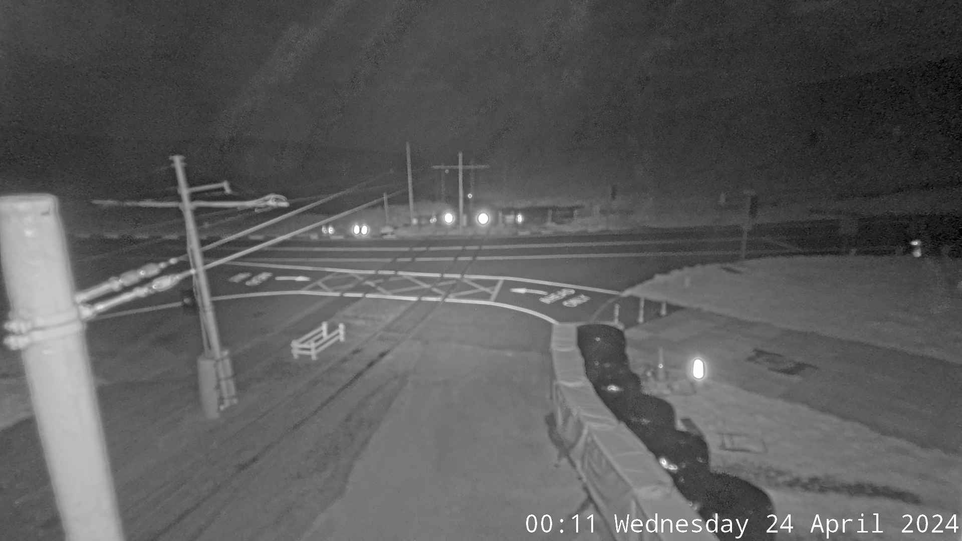 WorkingStill imageThe Bungalow, view over the Laxey Valley, Isle of Man
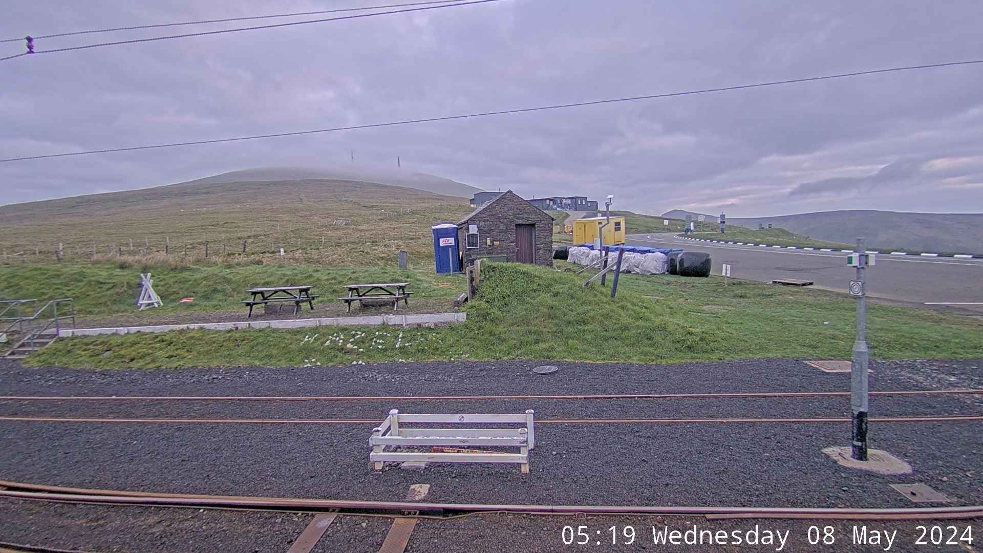 WorkingStill imageThe Bungalow, A18 Mountain Road (looking north), Isle of Man
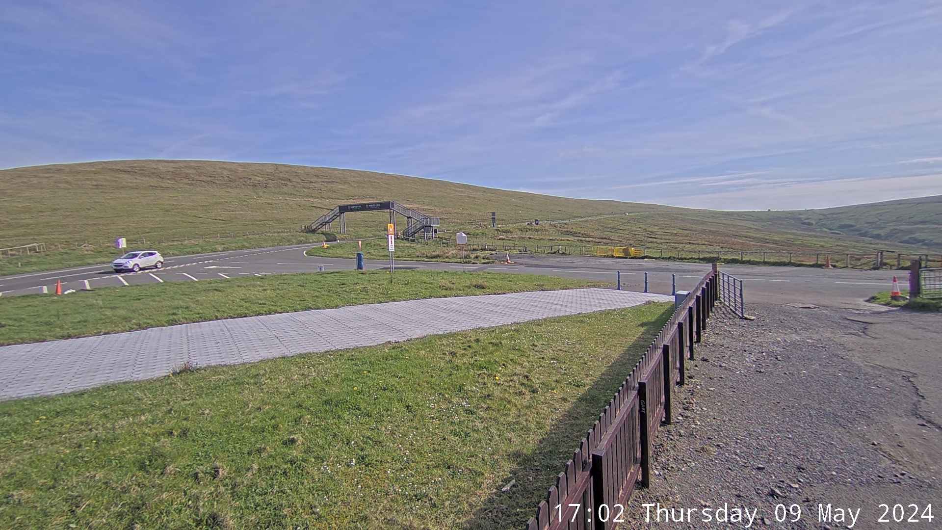 WorkingStill imageThe Bungalow, A18 Mountain Road (looking south), Isle of Man
 WorkingStill imageDouglas Promenade, Isle of Man
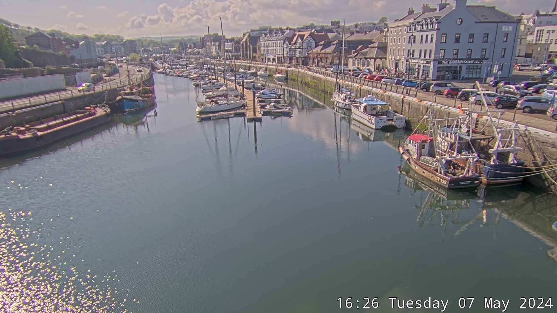 WorkingStill imageDouglas Marina, Isle of Man
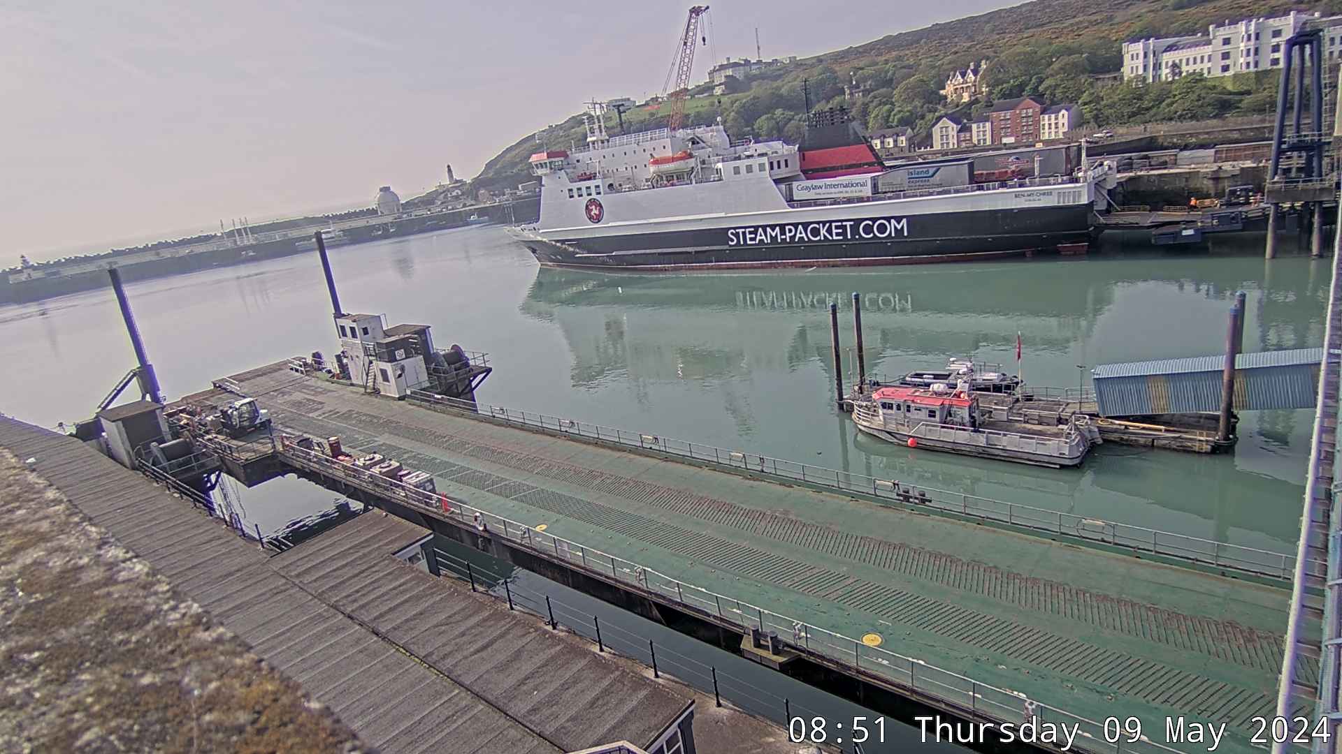 WorkingStill imageDouglas Outer Harbour, Isle of Man
Also nearby: The Bungalow, view over the Laxey Valley, Isle of Man (8.5 km), The Bungalow, A18 Mountain Road (looking north), Isle of Man (8.5 km) and The Bungalow, A18 Mountain Road (looking south), Isle of Man (8.6 km).
Camera radar centered here · More from Isle of Man Government webcams
Questions about Ramsey Harbour, Isle of Man
Is Ramsey Harbour, Isle of Man working right now?
Yes, it is working: at our last automatic check (Oct 8, 01:15 UTC) it was sending new pictures. It is a still image, not video: a new photo arrives about every 5 minutes straight from Isle of Man Government.
How often does this camera refresh?
About every 5 minutes, on Isle of Man Government's schedule. The image on this page refreshes by itself while the tab is open.
Who runs this camera?
Isle of Man Government runs this camera. It is an official source. Its images are shared under the Isle of Man Open Government Licence. LiveLocation shows them straight from the source with credit. About Isle of Man Government webcams Watch at the source
Where is the Ramsey Harbour, Isle of Man camera?
It is in Isle of Man. Coordinates: 54.323, -4.382.
Is it day or night there now?
The camera is in the Europe/Isle of Man time zone. The "Right now" panel above shows the local time live. On October 8 the sun rises at 7:32 AM and sets at 6:37 PM there.
Can I see other cameras nearby?
Yes: 7 other cameras are within 25 km of this one. The live camera radar shows them all on a map, nearest first. Open the radar here