Live cameras in Bakersfield, United States
24 cameras: 24 live video · 14 working now · updated Oct 8, 03:34 UTC
Bakersfield has 24 live cameras on LiveLocation right now: 24 live video. Good places to start: SR-204 KER-204-AT 8TH ST, Bakersfield, SR-99 KER-99-AT CALIFORNIA AVE, Bakersfield, SR-58 KER-58-AT H ST, Bakersfield. Local time is 8:34 PM (America/Los Angeles). Today the sun rises at 6:55 AM and sets at 6:31 PM.
Bakersfield live cameras
Bakersfield live cameras, all in one place: 24 live video. 14 were working at the last check. Bakersfield is home to about 374,000 people.
Weather now in Bakersfield: 86 °F (30 °C), clear sky, wind 4 mph (6 km/h) from the east. Forecast for 9 PM local time. Weather: MET Norway (CC BY 4.0)
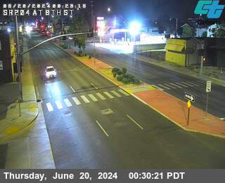 Live nowLive videoSR-204 KER-204-AT 8TH ST, Bakersfield
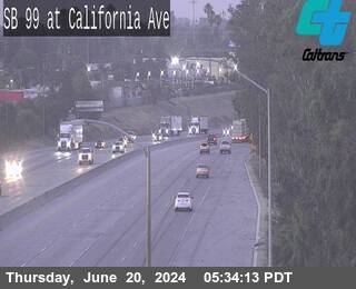 Live nowLive videoSR-99 KER-99-AT CALIFORNIA AVE, Bakersfield
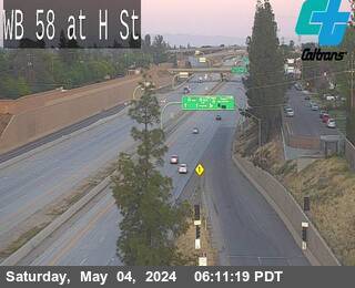 Live nowLive videoSR-58 KER-58-AT H ST, Bakersfield
 Live nowLive videoSR-58 KER-58-AT HUGHES LN, Bakersfield
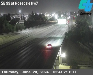 Live nowLive videoSR-99 KER-99-AT ROSEDALE HWY (ROUTE 178), Bakersfield
 Live nowLive videoSR-58 KER-58-AT UNION AVE, Bakersfield
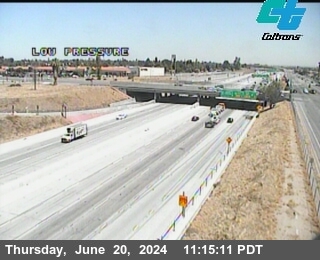 Live nowLive videoSR-99 KER-99-S/O MING AVE, Bakersfield
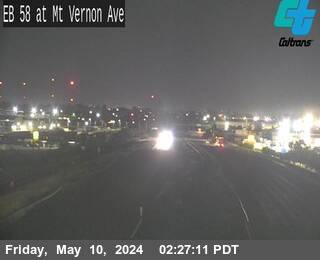 Live nowLive videoSR-58 KER-58-AT MT VERNON AVE, Bakersfield
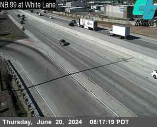 Live nowLive videoSR-99 KER-99-AT WHITE LANE, Bakersfield
 Live nowLive videoSR-99 KER-99-AT PANAMA LANE, Bakersfield
 Live nowLive videoSR-58 KER-58-AT TOWERLINE RD, Edison
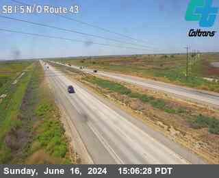 Live nowLive videoI-5 KER-5-N/O RTE 43, Tupman
 Live nowLive videoSR-99 KER-99-S/O RTE 46, Mc Farland
 Live nowLive videoSR-33 KER-33-AT RTE 166, Maricopa
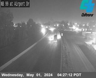 IntermittentLive videoSR-99 KER-99-AT AIRPORT DR, Bakersfield
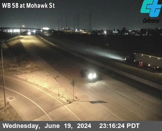 IntermittentLive videoSR-58 KER-58-AT MOHAWK ST, Bakersfield
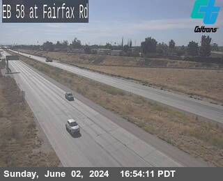 IntermittentLive videoSR-58 KER-58-AT FAIRFAX RD, Bakersfield
 IntermittentLive videoSR-99 KER-99-JNO RTE 65, Bakersfield
 IntermittentLive videoSR-184 KER-184-AT NILES ST, Bakersfield
 IntermittentLive videoSR-99 KER-99-AT HOSKING AVE, Bakersfield
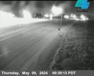 IntermittentLive videoSR-178 KER-178-JEO RTE 184, Bakersfield
 IntermittentLive videoSR-99 KER-99-AT RTE 223, Bakersfield
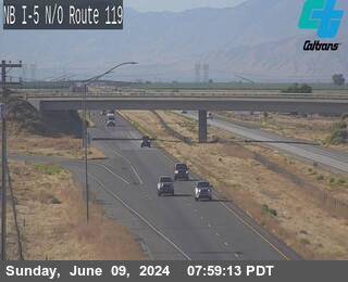 IntermittentLive videoI-5 KER-5-N/O RTE 119, Bakersfield
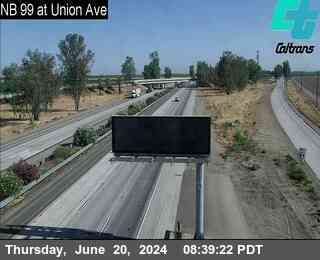 IntermittentLive videoSR-99 KER-99-AT UNION AVE, Bakersfield
No live video among these cameras. Turn off "Live video only" to see them all.
Best cams to watch
- SR-204 KER-204-AT 8TH ST, Bakersfield — Live video.
- SR-99 KER-99-AT CALIFORNIA AVE, Bakersfield — Live video.
- SR-58 KER-58-AT H ST, Bakersfield — Live video.
Bakersfield, the county seat of Kern County, sits near the southern end of California's San Joaquin Valley, beside the Kern River where it leaves the Sierra Nevada foothills. It is a big city, with about 403,000 people in 2020, the ninth-largest population in the state. Oil and farming built it: Kern County pumps more oil than any other county in California and is among the most productive farm counties in the nation, growing almonds, grapes, citrus and carrots. The city also gave its name to the Bakersfield sound, the twangy country music of Buck Owens and Merle Haggard, and the Crystal Palace music hall keeps that tradition alive.
Long before the oil fields, the Yowlumne, a Yokuts people, lived along the branches of the Kern River delta here, and the Spanish missionary Francisco Garcés passed through in 1776.
Freeways of the southern valley
Caltrans supplies all of the pictures linked to Bakersfield, drawing them from its CWWP2 camera feed, the same source QuickMap uses. They are periodic still frames. State Route 99 runs north and south through the city as the main road of the valley, State Route 58 heads east toward Tehachapi and the Mojave Desert, and State Route 178 follows the Kern River canyon into the mountains. Interstate 5 passes to the west on its way to the Grapevine and Los Angeles.
Bakersfield runs on the same Pacific clock as the coast. Summers are very hot and dry, with long strings of days above one hundred degrees. In winter, thick tule fog can blanket the valley for days at a time, cutting visibility on Route 99 to almost nothing, which is when these camera views are most useful. Spring brings wildflowers to the nearby hills, and most of the scant yearly rain falls between November and March.
The Kern River Parkway trail follows the riverbed across the city, and the wildflower slopes and bluffs of Wind Wolves Preserve lie about forty minutes to the south.
Sources: Bakersfield, California - Wikipedia · California State Route 99 - Wikipedia · Caltrans QuickMap.
Nearby places
- Los Angeles (623)
- San Francisco (276)
- Riverside (248)
- Orange (205)
- San Diego (202)
- Anaheim (198)
- Buena Park (197)
- Garden Grove (196)
Questions about Bakersfield
How many live cameras are there in Bakersfield?
LiveLocation lists 24 cameras in and around Bakersfield, United States: 24 live video. 14 of them were live or showing a fresh image at the last check.
Where do the Bakersfield cameras come from?
All of them come from Caltrans (24). Each camera plays straight from the agency or owner that runs it, with credit. Caltrans
What kinds of views are there in Bakersfield?
All of them show traffic and highway (24). Good ones to start with: SR-204 KER-204-AT 8TH ST, Bakersfield and SR-99 KER-99-AT CALIFORNIA AVE, Bakersfield. SR-204 KER-204-AT 8TH ST, Bakersfield SR-99 KER-99-AT CALIFORNIA AVE, Bakersfield
Is there live video from Bakersfield?
Yes: 24 of the 24 cameras send live video. Turn on "Live video only" above the grid to see just those.
When is the best time to watch the Bakersfield cameras?
Bakersfield is on America/Los Angeles time. On October 7 the sun rises at 6:55 AM and sets at 6:31 PM, so still images are clearest between those times. Road cameras show the most traffic in the weekday morning and evening rush hours.
Are there live cameras near Bakersfield?
The nearest are Oildale (3.2 mi away, 9 cameras), Arvin (16 mi away, 5 cameras) and Shafter (17 mi away, 2 cameras). Oildale Arvin Shafter
Is there a map of the cameras in Bakersfield?
The map at the top of this page shows all 24 of them. The live camera radar centers on Bakersfield and lists every camera within 5 to 250 miles, nearest first, with filters for live video, traffic, nature and more. Open the radar on Bakersfield
Place names and locations: GeoNames, licensed under CC BY 4.0.