Live cameras in Chico, United States
21 cameras: 20 live video, 1 still image · 13 working now · updated Oct 8, 07:44 UTC
Chico has 21 live cameras on LiveLocation right now: 20 live video, 1 still image. Good places to start: SR-99 Hwy 99 at Hwy 32 1, Chico, SR-99 East_20th_BUT99_NB_2, Chico, SR-99 Hwy 99 at Skyway 1, Chico. Local time is 12:44 AM (America/Los Angeles). Today the sun rises at 7:10 AM and sets at 6:38 PM.
Chico live cameras
Every Chico live camera we know of: 20 live video, 1 still image. 13 were working at the last check. Chico is home to about 121,000 people.
Weather now in Chico: 72 °F (22 °C), clear sky, wind 4 mph (6 km/h) from the northeast. Forecast for 1 AM local time. Weather: MET Norway (CC BY 4.0)
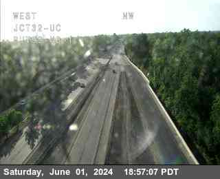 Live nowLive videoSR-99 Hwy 99 at Hwy 32 1, Chico
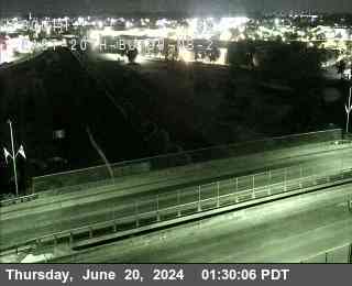 Live nowLive videoSR-99 East_20th_BUT99_NB_2, Chico
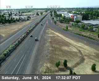 Live nowLive videoSR-99 Hwy 99 at Skyway 1, Chico
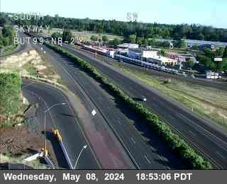 Live nowLive videoSR-99 Hwy 99 at Skyway 2, Chico
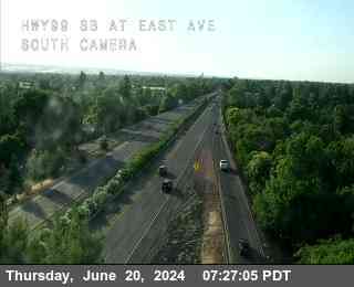 Live nowLive videoSR-99 Hwy 99 at East_Ave_BUT99_SB_2, Chico
 Live nowLive videoSR-99 Skyway_BUT99_NB_2, Chico
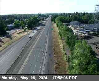 Live nowLive videoSR-99 Hwy 99 at Southgate 1, Chico
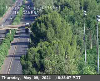 Live nowLive videoSR-99 Hwy 99 at E Eaton Rd 1, Chico
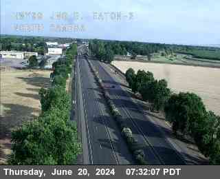 Live nowLive videoSR-99 Hwy 99 at E Eaton Rd 2, Chico
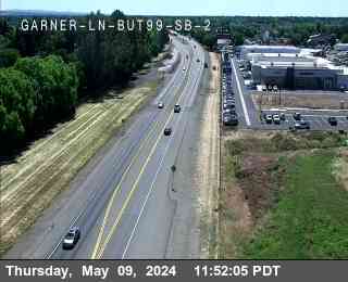 Live nowLive videoSR-99 Hwy 99 at Garner Lane 2, Chico
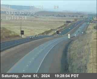 Live nowLive videoSR-99 Hwy 99 at Neal, Durham
 Live nowLive videoSR-32 Hwy 32 at Rd P Orland, Orland
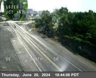 Live nowLive videoSR-162 Hwy 162 at JCT162 and 45, Butte City
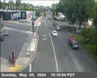 IntermittentLive videoSR-32 Hwy 32 at Main St Chico, Chico
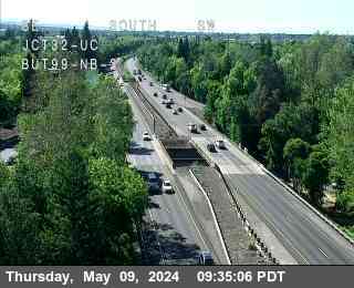 IntermittentLive videoSR-99 Hwy 99 at Hwy 32 2, Chico
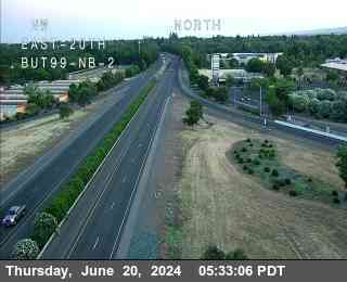 IntermittentLive videoSR-99 East_20th_BUT99_NB_1, Chico
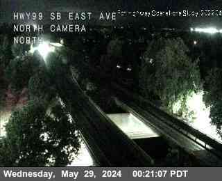 IntermittentLive videoSR-99 Hwy 99 at East_Ave_BUT99_SB_1, Chico
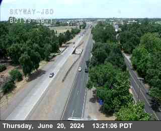 IntermittentLive videoSR-99 Skyway_BUT99_NB_1, Chico
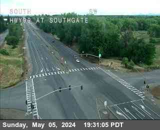 IntermittentLive videoSR-99 Hwy 99 at Southgate 2, Chico
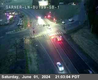 IntermittentLive videoSR-99 Hwy 99 at Garner Lane 1, Chico
 OfflineStill imageSR-99 Vina, Vina
No live video among these cameras. Turn off "Live video only" to see them all.
Best cams to watch
- SR-99 Hwy 99 at Hwy 32 1, Chico — Live video.
- SR-99 East_20th_BUT99_NB_2, Chico — Live video.
- SR-99 Hwy 99 at Skyway 1, Chico — Live video.
Chico is the largest city in Butte County, on the flat east side of the northern Sacramento Valley where the land begins to rise toward the Sierra Nevada foothills. About 101,000 people lived here at the 2020 census. The city grew around the ranch of John Bidwell, a pioneer and politician whose land later became Bidwell Park, a long ribbon of oaks, creek pools and canyon trails that stretches from downtown far into the foothills along Big Chico Creek. California State University, Chico, founded in 1887, gives the town a large student population, and Sierra Nevada Brewing, one of the pioneers of American craft beer, has brewed here since 1980. The town of Paradise, largely destroyed by the Camp Fire in November 2018, lies up the ridge to the east.
The cameras listed for Chico are part of the Caltrans network, published through the agency's CWWP2 data feed. Most deliver still pictures that refresh every few minutes, and some add a short video stream. State Route 99, the main north-south road on this side of the valley, runs through the city as a freeway, and State Route 32 crosses it on its way from Orland toward the mountains of the Lassen country. Views show freeway lanes, ramps and the edge of the orchard country that surrounds town.
When to look
Chico is on Pacific Time. Summers are hot and dry, often well above ninety degrees in the afternoon, so early morning views are the clearest. From late autumn through winter, dense tule fog can settle over the valley floor for days, sometimes cutting visibility on Route 99 to almost nothing; the cameras are a quick way to see whether it has lifted. In spring the almond orchards bloom white around February, and the Wildflower Century bicycle ride crosses the county in April.
Oroville and its tall dam lie to the southeast, and the Sacramento River runs just west of town through orchards and wildlife areas.
Sources: Chico, California - Wikipedia · Bidwell Park - Wikipedia · Caltrans QuickMap.
Nearby places
- San Francisco (276)
- Richmond (175)
- Oakland (172)
- Berkeley (171)
- Sacramento (157)
- Alameda (155)
- San Jose (145)
- Arden-Arcade (110)
Questions about Chico
How many cameras does LiveLocation have in Chico?
LiveLocation lists 21 cameras in and around Chico, United States: 20 live video, 1 still image. 13 of them were live or showing a fresh image at the last check.
Who runs the cameras in Chico?
All of them come from Caltrans (21). Each camera plays straight from the agency or owner that runs it, with credit. Caltrans
What can I see on the Chico cameras?
All of them show traffic and highway (21). Good ones to start with: SR-99 Hwy 99 at Hwy 32 1, Chico and SR-99 East_20th_BUT99_NB_2, Chico. SR-99 Hwy 99 at Hwy 32 1, Chico SR-99 East_20th_BUT99_NB_2, Chico
Can I watch live video from Chico?
Yes: 20 of the 21 cameras send live video. Turn on "Live video only" above the grid to see just those. The other 1 are still images that refresh every few minutes.
What time is it in Chico, and when is it light?
Chico is on America/Los Angeles time. On October 8 the sun rises at 7:10 AM and sets at 6:38 PM, so still images are clearest between those times. Road cameras show the most traffic in the weekday morning and evening rush hours.
Which places near Chico also have cameras?
The nearest are Oroville (21 mi away, 2 cameras), Yuba City (42 mi away, 6 cameras) and South Yuba City (44 mi away, 5 cameras). Oroville Yuba City South Yuba City
How can I see the Chico cameras on a map?
The map at the top of this page shows all 21 of them. The live camera radar centers on Chico and lists every camera within 5 to 250 miles, nearest first, with filters for live video, traffic, nature and more. Open the radar on Chico
Place names and locations: GeoNames, licensed under CC BY 4.0.