Live cameras in San Leandro, United States
83 cameras: 16 live video, 67 still images · 75 working now · updated Oct 8, 05:59 UTC
San Leandro has 83 live cameras on LiveLocation right now: 16 live video, 67 still images. Good places to start: I-580 at Just East Of Beaumont Avenue, Oakland, I-880 at Just North of SR-238, San Leandro, I-880 at Paseo Grande Overcross, San Lorenzo. Local time is 10:59 PM (America/Los Angeles). Today the sun rises at 7:09 AM and sets at 6:42 PM.
San Leandro live cameras
Watch San Leandro live webcams: 16 live video, 67 still images. 75 were working at the last check. San Leandro is home to about 91,000 people.
Weather now in San Leandro: 63 °F (17 °C), clear sky, wind 4 mph (7 km/h) from the west. Forecast for 11 PM local time. Weather: MET Norway (CC BY 4.0)
 Live nowLive videoI-580 at Just East Of Beaumont Avenue, Oakland
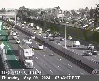 Live nowLive videoI-880 at Just North of SR-238, San Leandro
 Live nowLive videoI-880 at Paseo Grande Overcross, San Lorenzo
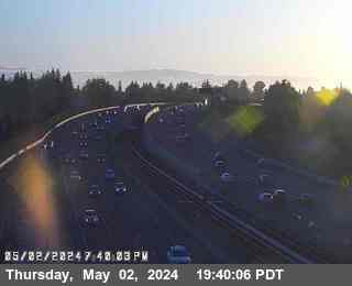 Live nowLive videoSR-238 at East Lewelling Onramp, Hayward
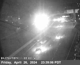 Live nowLive videoI-580 at High Street, Oakland
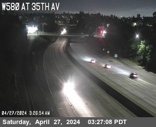 Live nowLive videoI-580 at 35th Avenue, Oakland
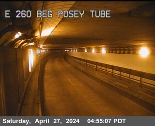 Live nowLive videoSR-260 at Posey Tube Tunnel Entrance, Alameda
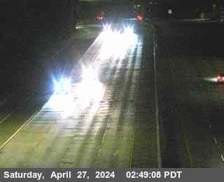 Live nowLive videoI-580 at Grand Lakeshore, Oakland
 WorkingStill imageI-880 at DAVIS ST E112 DIAGONAL OR, San Leandro
 WorkingStill imageI-880 at JSO MARINA BL, San Leandro
 WorkingStill imageI-880 at WINTON AV, Hayward
 WorkingStill imageSR-92 at JWO INDUSTRIAL BLVD, Hayward
 WorkingStill imageI-880 at Eldrige Avenue Pedestrian Overcross, Hayward
 WorkingStill imageI-880 at MARINA BL LOOP OR, San Leandro
 WorkingStill imageI-880 at MARINA BL, San Leandro
 WorkingStill imageI-880 at JCT-112 DAVIS ST, San Leandro
 WorkingStill imageI-580 at JWO FOOTHILL BLVD, Oakland
 WorkingStill imageI-880 at 98TH AV LOOP OR, Oakland
 WorkingStill imageI-880 at 98TH AV EB OR, Oakland
 WorkingStill imageI-880 at 98TH AV OFR, Oakland
 WorkingStill imageI-880 at 98TH AV WB OR, Oakland
 WorkingStill imageI-880 at 98TH AV EB OR, Oakland
 WorkingStill imageI-880 at 98TH AV OFR, Oakland
 WorkingStill imageI-880 at 98TH AV WB OR, Oakland
 WorkingStill imageI-880 at 98TH AV, Oakland
 WorkingStill imageI-580 at GOLF LINKS RD, Oakland
 WorkingStill imageI-580 at JWO 106th Ave OC, Oakland
 WorkingStill imageI-580 at JEO FAIRMONT DR OC, San Leandro
 WorkingStill imageI-880 at EDES AV WB OR, Oakland
 WorkingStill imageI-880 at EDES AV EB OR, Oakland
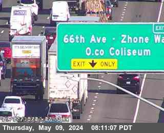 WorkingStill imageI-880 at HEGENBERGER RD, Oakland
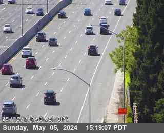 WorkingStill imageI-880 at WASHINGTON AV LOOP OR, San Leandro
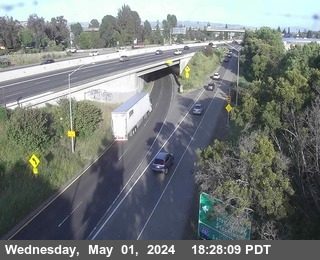 WorkingStill imageI-880 at WASHINGTON AV OR, San Leandro
 WorkingStill imageI-580 at JEO FONTAINE ST, Oakland
 WorkingStill imageI-580 at FOOTHILL BLVD, San Leandro
 WorkingStill imageSR-238 at South of Ashland Avenue, San Lorenzo
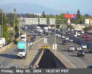 WorkingStill imageI-880 at LEWELLING BL, San Leandro
 WorkingStill imageI-880 at HESPERIAN BL OR, San Lorenzo
 WorkingStill imageI-580 at JWO 238, Hayward
 WorkingStill imageI-880 at JSO HACIENDA, Hayward
 WorkingStill imageI-580 at JCT 13, Oakland
 WorkingStill imageI-580 at Strobridge Avenue, Castro Valley
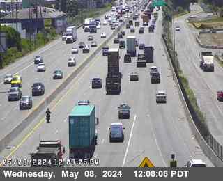 WorkingStill imageI-880 at JSO HIGH ST, Oakland
 WorkingStill imageI-880 at A ST, Hayward
 WorkingStill imageI-580 at Redwood Road, Castro Valley
 WorkingStill imageI-880 at 29TH AV, Oakland
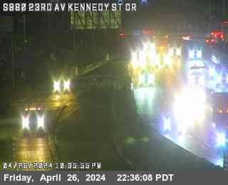 WorkingStill imageI-880 at 23RD AV/KENNEDY ST OR, Oakland
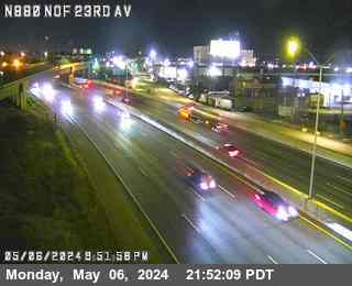 WorkingStill imageI-880 at NORTH OF 23RD AV, Oakland
 WorkingStill imageI-880 at 23RD AV, Oakland
 WorkingStill imageI-580 at CASTRO VALLEY BL OR, Hayward
 WorkingStill imageI-580 at FRUITVALE AV, Oakland
 WorkingStill imageI-580 at Just East Of Grove Way, Hayward
 WorkingStill imageI-880 at 16th Avenue Overcross, Oakland
 WorkingStill imageI-580 at JEO CASTRO VALLEY BL, Castro Valley
 WorkingStill imageSR-92 at JEO INDUSTRIAL BL, Hayward
 WorkingStill imageSR-92 at CLAWITER RD, Hayward
 WorkingStill imageSR-92 at JWO OF CLAWITER RD, Hayward
 WorkingStill imageSR-92 at Just East Of San Mateo Bridge Toll Plaza, Hayward
 WorkingStill imageSR-92 at San Mateo Bridge Metering Lights, Hayward
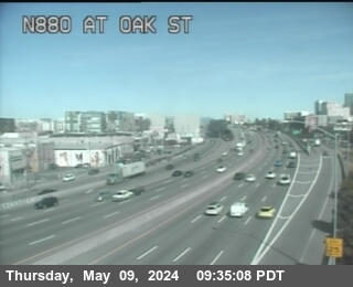 WorkingStill imageI-880 at Oak Street, Oakland
 WorkingStill imageI-880 at TENNYSON RD, Hayward
 WorkingStill imageI-880 at TENNYSON COLLECTOR OR, Hayward
 WorkingStill imageSR-92 at San Mateo Bridge Substation 7, Hayward
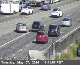 WorkingStill imageI-880 at Oak Street, Oakland
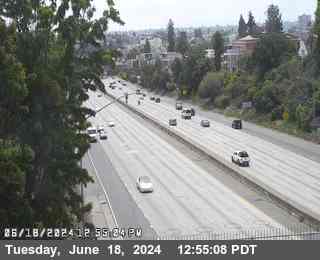 WorkingStill imageI-580 at CHETWOOD ST, Oakland
 WorkingStill imageSR-92 at San Mateo Bridge Substation 6, Hayward
 WorkingStill imageI-880 at Broadway, Oakland
 WorkingStill imageI-880 at JNO INDUSTRIAL, Hayward
 WorkingStill imageI-880 at Castro Street, Oakland
 WorkingStill imageI-880 at INDUSTRIAL PKWY LOOP OR, Hayward
 WorkingStill imageI-980 at JCT 880, Oakland
 WorkingStill imageI-980 at 14TH ST, Oakland
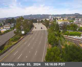 WorkingStill imageI-980 at JEO SAN PABLO AVE, Oakland
 WorkingStill imageSR-92 at San Mateo Bridge Substation 5, San Mateo
 WorkingStill imageI-580 at WEBSTER ST, Oakland
 IntermittentLive videoI-580 at Just East of Grand Avenue, San Leandro
 IntermittentLive videoSR-238 at North Of Ashland Undercross, San Lorenzo
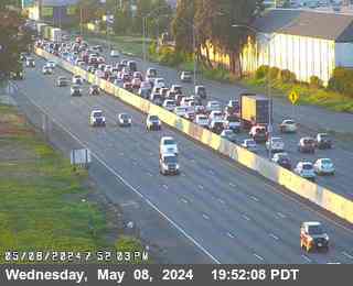 IntermittentLive videoI-880 at 66th Avenue, Oakland
 IntermittentLive videoI-580 at SR-238, Castro Valley
 IntermittentLive videoI-880 at High Street, Oakland
 IntermittentLive videoI-880 at JCT-92, Hayward
 IntermittentLive videoSR-92 at Just West Of I-880, Hayward
 IntermittentLive videoSR-260 at Webster St Tunnel Entrance, Oakland
No live video among these cameras. Turn off "Live video only" to see them all.
Best cams to watch
- I-580 at Just East Of Beaumont Avenue, Oakland — Live video, working 100 % of the time in the last 30 days.
- I-880 at Just North of SR-238, San Leandro — Live video.
- I-880 at Paseo Grande Overcross, San Lorenzo — Live video.
San Leandro is a city in Alameda County on the east shore of San Francisco Bay, between Oakland to the northwest and Hayward, Ashland and Castro Valley to the southeast. Spanish explorers passed through in 1772, the town grew on former Mexican land grants, and it incorporated in 1872. For a short time it was the county seat, until the 1868 Hayward earthquake wrecked its courthouse; the county seat moved to Oakland a few years later. Roughly 91,000 people lived in San Leandro in 2020, and its neighborhoods now rank among the most varied in the Bay Area. Ghirardelli has a chocolate factory here, and the local fiber network, Lit San Leandro, has drawn tech firms.
Along the bay, the San Leandro Marina and Marina Park offer picnic lawns, shoreline trails and wide views across the water toward San Francisco. Up in the hills, Lake Chabot Regional Park is a favorite place to hike, fish and camp.
Where three interstates meet
These are Caltrans traffic cameras, part of the state's public camera network. Each Caltrans view here is a periodic snapshot, renewed on a cycle of a few minutes. San Leandro sits where three interstates meet: Interstate 880 runs along the flat bayside of the city, Interstate 580 follows the base of the hills, and the short Interstate 238 links the two near the southern edge. The cameras watch these freeways and their interchanges, which carry heavy truck traffic from the Port of Oakland as well as daily commuters.
Clocks in San Leandro follow the West Coast pattern: Pacific Standard Time in winter, an hour ahead from the second Sunday of March. Morning traffic flows north toward Oakland and the Bay Bridge, and evening traffic heads the other way. The weather is mild all year; summer mornings are often gray with fog off the bay, which usually burns off by noon. The wet season belongs to the winter months, and the hills turn green after the first storms.
Two BART stations, San Leandro and Bay Fair, connect the city to the rest of the region. Oakland International Airport is only a few minutes north along the shoreline.
Sources: San Leandro, California - Wikipedia · Caltrans QuickMap.
Nearby places
- San Francisco (276)
- Richmond (175)
- Oakland (172)
- Berkeley (171)
- Sacramento (157)
- Alameda (155)
- San Jose (145)
- Arden-Arcade (110)
Questions about San Leandro
How many cameras does LiveLocation have in San Leandro?
LiveLocation lists 83 cameras in and around San Leandro, United States: 16 live video, 67 still images. 75 of them were live or showing a fresh image at the last check.
Who runs the cameras in San Leandro?
All of them come from Caltrans (83). Each camera plays straight from the agency or owner that runs it, with credit. Caltrans
What can I see on the San Leandro cameras?
All of them show traffic and highway (83). Good ones to start with: I-580 at Just East Of Beaumont Avenue, Oakland and I-880 at Just North of SR-238, San Leandro. I-580 at Just East Of Beaumont Avenue, Oakland I-880 at Just North of SR-238, San Leandro
Can I watch live video from San Leandro?
Yes: 16 of the 83 cameras send live video. Turn on "Live video only" above the grid to see just those. The other 67 are still images that refresh every few minutes.
What time is it in San Leandro, and when is it light?
San Leandro is on America/Los Angeles time. On October 7 the sun rises at 7:09 AM and sets at 6:42 PM, so still images are clearest between those times. Road cameras show the most traffic in the weekday morning and evening rush hours.
Which places near San Leandro also have cameras?
The nearest are Ashland (3.1 mi away, 46 cameras), San Lorenzo (3.7 mi away, 40 cameras) and Castro Valley (4.4 mi away, 82 cameras). Ashland San Lorenzo Castro Valley
How can I see the San Leandro cameras on a map?
The map at the top of this page shows all 83 of them. The live camera radar centers on San Leandro and lists every camera within 5 to 250 miles, nearest first, with filters for live video, traffic, nature and more. Open the radar on San Leandro
Place names and locations: GeoNames, licensed under CC BY 4.0.