Live cameras in Vallejo, United States
61 cameras: 15 live video, 46 still images · 54 working now · updated Oct 8, 05:28 UTC
Vallejo has 61 live cameras on LiveLocation right now: 15 live video, 46 still images. Good places to start: I-80 at East Of American Canyon Road, Fairfield, SR-37 at W37 EOF JCT-29, Vallejo, I-80 at SR-4, Hercules. Local time is 10:28 PM (America/Los Angeles). Today the sun rises at 7:10 AM and sets at 6:43 PM.
Vallejo live cameras
Watch Vallejo live webcams: 15 live video, 46 still images. 54 of them were live or fresh at the last check. Vallejo is home to about 122,000 people.
Weather now in Vallejo: 64 °F (18 °C), clear sky, wind 4 mph (7 km/h) from the west. Forecast for 10 PM local time. Weather: MET Norway (CC BY 4.0)
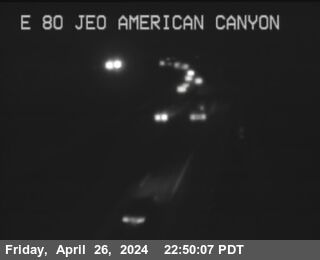 Live nowLive videoI-80 at East Of American Canyon Road, Fairfield
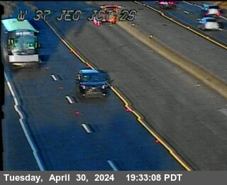 Live nowLive videoSR-37 at W37 EOF JCT-29, Vallejo
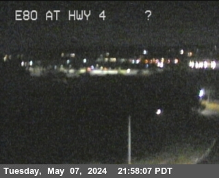 Live nowLive videoI-80 at SR-4, Hercules
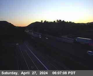 Live nowLive videoI-80 at Before Sycamore Avenue, Hercules
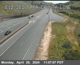 Live nowLive videoSR-12 at East of Napa County Line, Fairfield
 Live nowLive videoI-680 at Just South Of Marshview Road, Benicia
 Live nowLive videoI-680 at Benicia Martinez Skyway, Benicia
 Live nowLive videoI-80 at Red Top Road, Fairfield
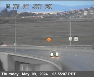 WorkingStill imageSR-37 at JCT-29, Vallejo
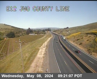 WorkingStill imageSR-12 at E12 Before County Line, Napa
 WorkingStill imageI-80 at TENNESSEE ST, Vallejo
 WorkingStill imageSR-37 at Wilson Av, Vallejo
 WorkingStill imageI-780 I-80 at JCT 780, Vallejo
 WorkingStill imageI-80 at JWO REDWOOD PKWY, Vallejo
 WorkingStill imageSR-37 at WALNUT AV, Vallejo
 WorkingStill imageI-80 at North Tower, Vallejo
 WorkingStill imageI-80 at South Tower, Crockett
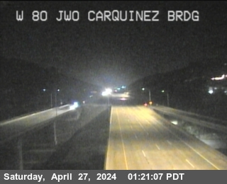 WorkingStill imageI-80 at Just West Of Carquinez Brdg, Crockett
 WorkingStill imageI-80 at East Of SR-37, Vallejo
 WorkingStill imageI-80 at JEO CUMMINGS PKWY, Crockett
 WorkingStill imageI-80 at Just West Of Cummings Skwy, Rodeo
 WorkingStill imageI-80 at West of American Canyon, American Canyon
 WorkingStill imageI-80 at Just East Of Willow Avenue, Rodeo
 WorkingStill imageI-80 at CALIFORNIA ST, Rodeo
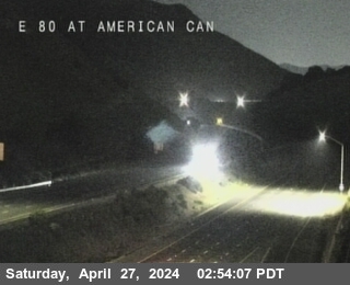 WorkingStill imageI-80 at E80 at American Canyon Rd OC, Vallejo
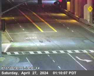 WorkingStill imageI-80 at Willow Avenue Onramp, Rodeo
 WorkingStill imageI-80 at Willow Avenue, Rodeo
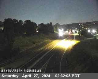 WorkingStill imageSR-4 I-80 at E80 at EB80 to EB 4 CR, Rodeo
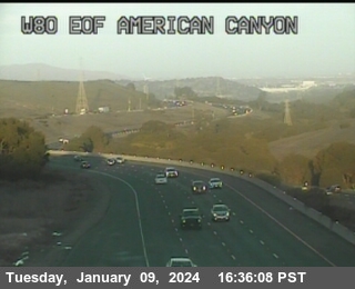 WorkingStill imageI-80 at EOF AMERICAN CANYON Rd, Vallejo
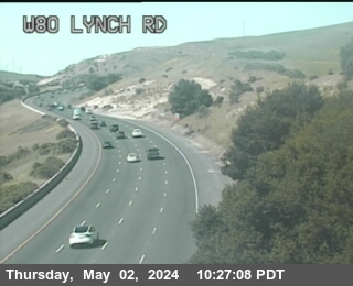 WorkingStill imageI-80 at LYNCH RD, Vallejo
 WorkingStill imageI-80 at Before Pinole Valley Road, Pinole
 WorkingStill imageI-680 at BAYSHORE RD, Benicia
 WorkingStill imageI-80 at Pinole Valley Road, Pinole
 WorkingStill imageI-80 at Pinole Valley Road, Pinole
 WorkingStill imageI-780 at Flyover Ramp To I-680, Benicia
 WorkingStill imageI-680 at Old Bridge Entrance, Benicia
 WorkingStill imageI-80 at Appian Way, Pinole
 WorkingStill imageI-80 at Just East Of Appian Way, Pinole
 WorkingStill imageI-80 at Appian Way, Pinole
 WorkingStill imageI-680 at Old Bridge Skyway, Benicia
 WorkingStill imageSR-12 at EOF KELLY RD, American Canyon
 WorkingStill imageI-680 at PARISH RD, Benicia
 WorkingStill imageSR-12 at E12 EOF Miners Trail, Fairfield
 WorkingStill imageI-80 at East Of Richmond Parkway, Pinole
 WorkingStill imageI-680 at South of I-780, Benicia
 WorkingStill imageI-80 at Richmond Parkway, Pinole
 WorkingStill imageI-680 at Old Bridge Midspan, Martinez
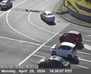 WorkingStill imageI-80 at Richmond Parkway, San Pablo
 WorkingStill imageSR-12 at E12 at Red Top Rd, Fairfield
 WorkingStill imageI-680 at New Bridge Incline, Martinez
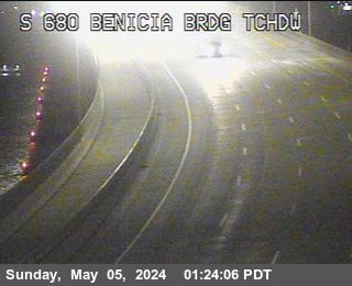 WorkingStill imageI-680 at Old Bridge Touch Down, Martinez
 WorkingStill imageI-80 at Just East Of Hilltop Drive, El Sobrante
 WorkingStill imageI-680 at New Bridge Before CMS, Martinez
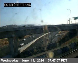 WorkingStill imageI-80 at BEFORE TRE 12 IC, Fairfield
 IntermittentLive videoI-80 at Just West Of Georgia Street, Vallejo
 IntermittentLive videoI-80 at SR-37, Vallejo
 IntermittentLive videoSR-37 at W37 at JCT-80, Vallejo
 IntermittentLive videoI-80 at Cummings Parkway Onramp, Crockett
 IntermittentLive videoI-780 at I-680 Split, Benicia
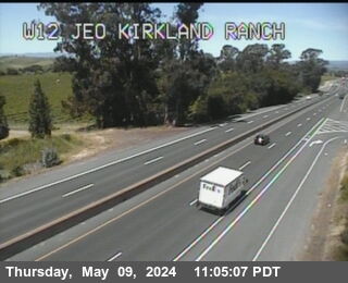 IntermittentLive videoSR-12 at Kirkland Ranch Road, Napa
 OfflineLive videoI-80 at SR-29, Vallejo
No live video among these cameras. Turn off "Live video only" to see them all.
Best cams to watch
- I-80 at East Of American Canyon Road, Fairfield — Live video, working 100 % of the time in the last 30 days.
- SR-37 at W37 EOF JCT-29, Vallejo — Live video.
- I-80 at SR-4, Hercules — Live video.
Vallejo is a city in Solano County on the northeast shore of San Pablo Bay, where the Napa River and the Carquinez Strait meet the bay. Only Santa Rosa is bigger among North Bay cities; Vallejo's own tally in 2020 was about 126,000. It takes its name from Mariano Guadalupe Vallejo, a Californio general and statesman, and it was briefly the state capital in 1852 and 1853 before the government moved on to Benicia. In 1854 the Navy opened Mare Island Naval Shipyard across the narrow strait, the first naval base on the West Coast, and for more than a century the yard shaped the city's life until it closed in 1996. Mare Island is now being redeveloped with homes, businesses and parkland.
The historic downtown has Victorian and Craftsman houses, and the Cal Poly Maritime Academy trains merchant marine officers on the waterfront. Ferries of the San Francisco Bay Ferry run from the Vallejo terminal to San Francisco.
The Carquinez crossroads
Every view on this page is a Caltrans traffic camera, showing still images that update every few minutes. Vallejo is a crossroads of state highways: Interstate 80 runs through the city between the Carquinez Bridge and the road to Fairfield and Sacramento, Interstate 780 branches east toward Benicia, State Route 29 heads north toward Napa, and State Route 37 runs west across the marshes toward Novato. The Carquinez Bridge approach is one of the busiest points to watch, especially on Friday afternoons when traffic heads toward wine country and the Sierra.
Vallejo's clocks match the rest of California, shifting to daylight time in spring and back in autumn. Summers are warm and breezy, often with afternoon wind off the bay and morning fog, while winter brings most of the rain. Sunset in June is around half past eight, in December just before five.
Benicia, the old capital with its own historic waterfront, sits just east across the strait, and the vineyards of the Napa Valley begin a short drive to the north.
Sources: Vallejo, California - Wikipedia · Caltrans QuickMap.
Nearby places
- San Francisco (276)
- Richmond (175)
- Oakland (172)
- Berkeley (171)
- Sacramento (157)
- Alameda (155)
- San Jose (145)
- Arden-Arcade (110)
Questions about Vallejo
How many webcams can I watch in Vallejo?
LiveLocation lists 61 cameras in and around Vallejo, United States: 15 live video, 46 still images. 54 of them were live or showing a fresh image at the last check.
Where do the Vallejo cameras come from?
All of them come from Caltrans (61). Each camera plays straight from the agency or owner that runs it, with credit. Caltrans
What kinds of views are there in Vallejo?
All of them show traffic and highway (61). Good ones to start with: I-80 at East Of American Canyon Road, Fairfield and SR-37 at W37 EOF JCT-29, Vallejo. I-80 at East Of American Canyon Road, Fairfield SR-37 at W37 EOF JCT-29, Vallejo
Is there live video from Vallejo?
Yes: 15 of the 61 cameras send live video. Turn on "Live video only" above the grid to see just those. The other 46 are still images that refresh every few minutes.
When is the best time to watch the Vallejo cameras?
Vallejo is on America/Los Angeles time. On October 7 the sun rises at 7:10 AM and sets at 6:43 PM, so still images are clearest between those times. Road cameras show the most traffic in the weekday morning and evening rush hours.
Are there live cameras near Vallejo?
The nearest are American Canyon (4.9 mi away, 19 cameras), Hercules (6.3 mi away, 33 cameras) and Benicia (6.5 mi away, 23 cameras). American Canyon Hercules Benicia
Is there a map of the cameras in Vallejo?
The map at the top of this page shows all 61 of them. The live camera radar centers on Vallejo and lists every camera within 5 to 250 miles, nearest first, with filters for live video, traffic, nature and more. Open the radar on Vallejo
Place names and locations: GeoNames, licensed under CC BY 4.0.